The best mountain hikes around Berriz
5.0
(3)
41
hikers
4
hikes
Mountaineering routes Berriz offer varied terrain and notable natural features within the Basque Country. The region is characterized by accessible mountain peaks such as Anboto (1,331 m), Alluitz (1,034 m), and Urkiolaguirre Summit. These areas provide diverse experiences with significant elevation gains, making them suitable for different skill levels. The landscape includes a network of trails that lead through natural parks and towards prominent summits.
Best mountaineering routes around Berriz
- The most popular mountaineering route is Anboto (1,331 m) loop…
Last updated: June 28, 2026
5.0
(1)
11
hikers
9.92km
05:36
1,040m
1,040m
Hard mountaineering route. Very good fitness required. Sure-footedness, sturdy shoes and alpine experience required.
5.0
(1)
7
hikers
7.38km
03:19
570m
570m
Hard mountaineering route. Good fitness required. Sure-footedness, sturdy shoes and alpine experience required.

Sign up for free
6
hikers
4.70km
02:55
560m
560m
Hard mountaineering route. Good fitness required. Sure-footedness, sturdy shoes and alpine experience required.
8
hikers
13.2km
06:34
1,020m
1,020m
Hard mountaineering route. Very good fitness required. Sure-footedness, sturdy shoes and alpine experience required.
5.0
(1)
9
hikers
Moderate mountaineering route. Good fitness required. Mostly accessible paths. Sure-footedness required.
Our route recommendations are based on thousands of hikes, rides, and runs completed by other people on komoot.
Start today with a free account
Your next adventure awaits.
Login or Signup
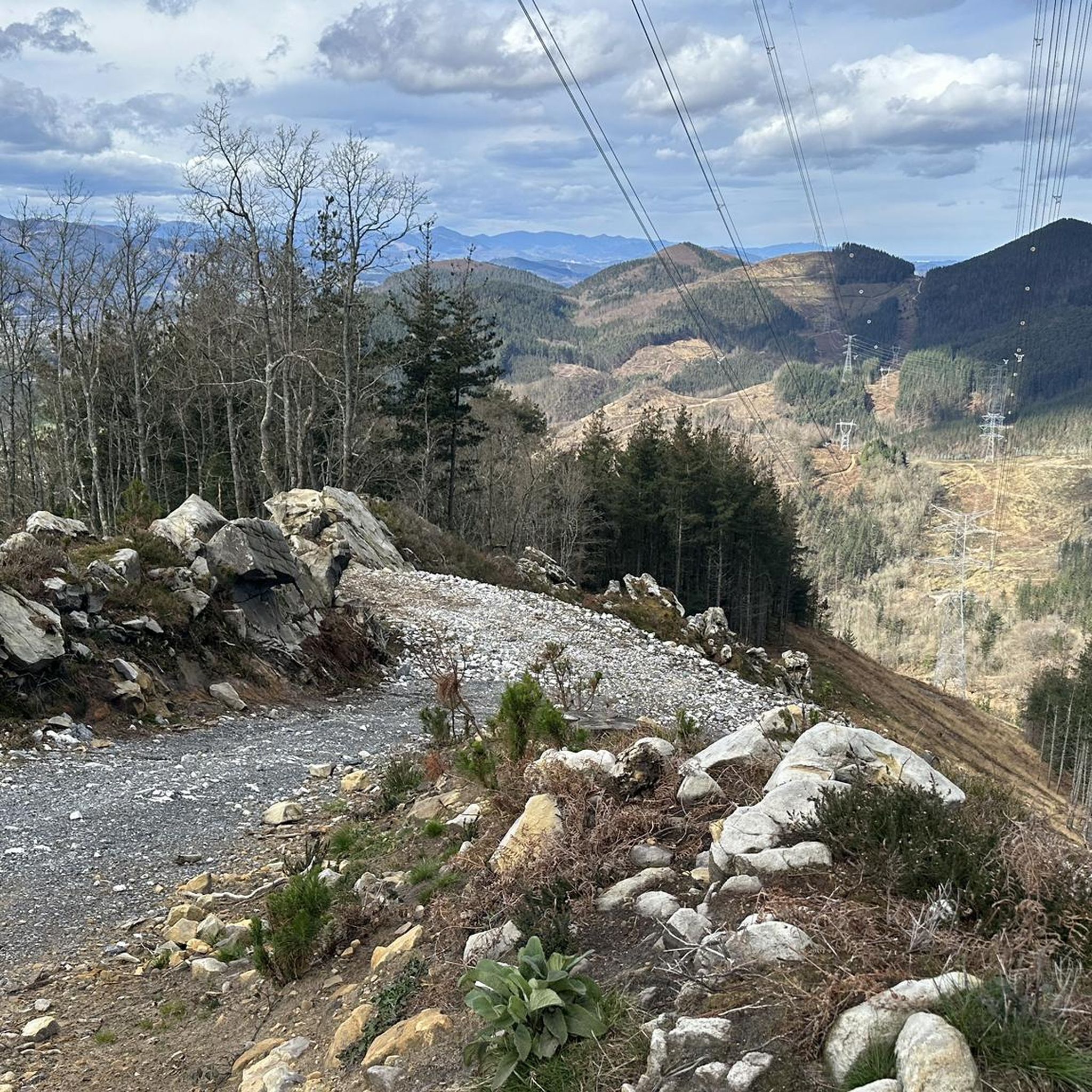
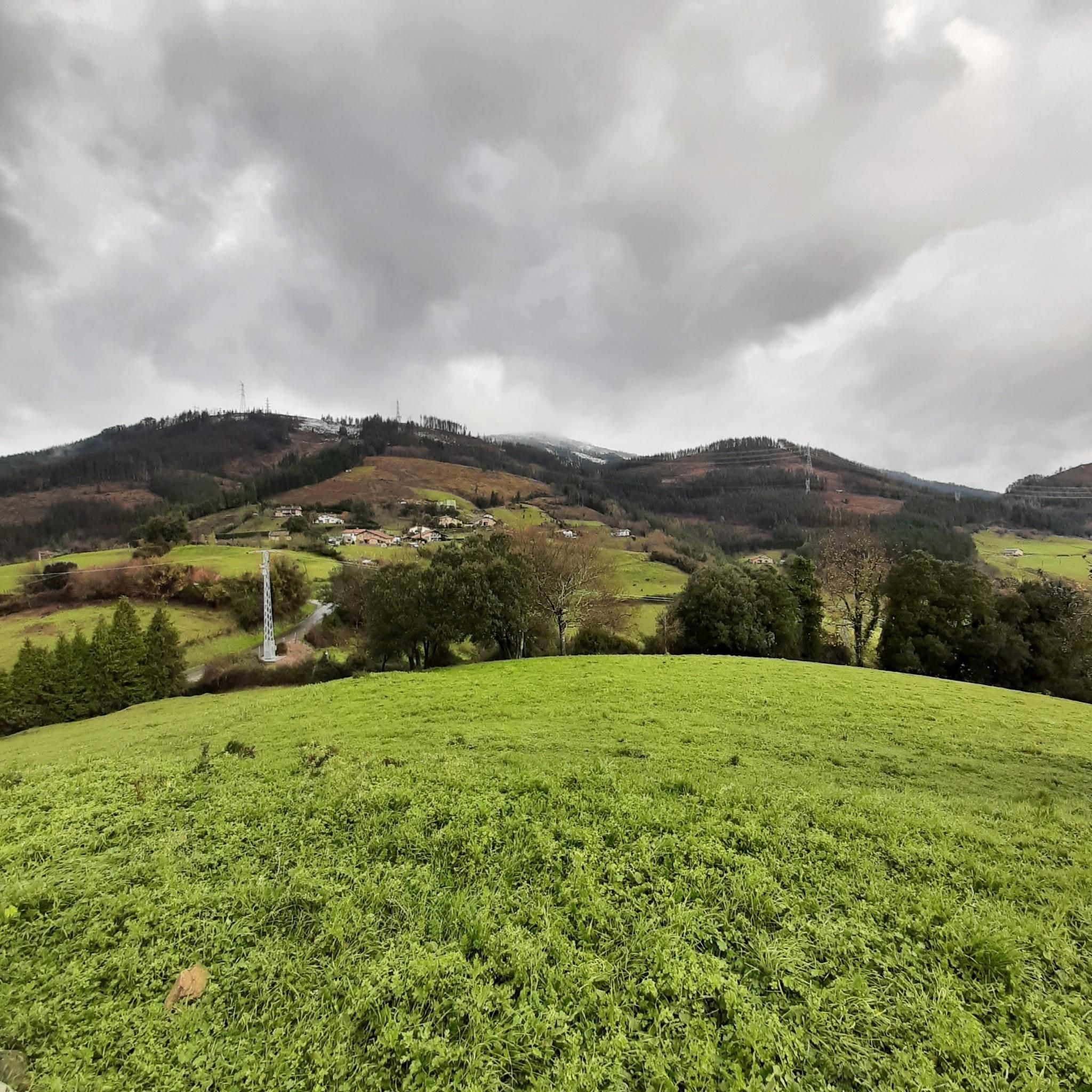
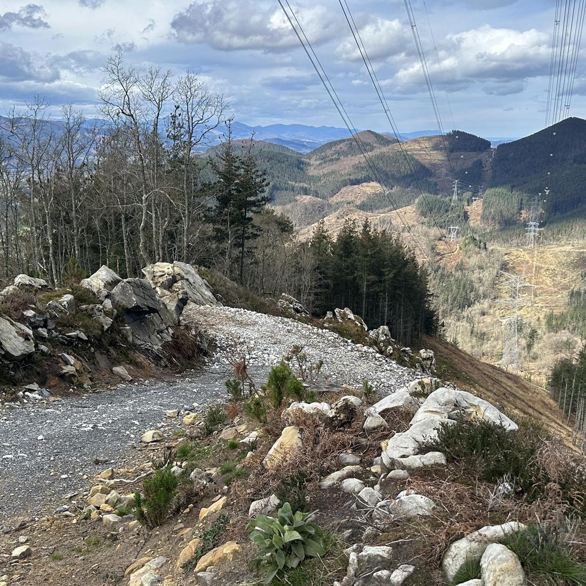

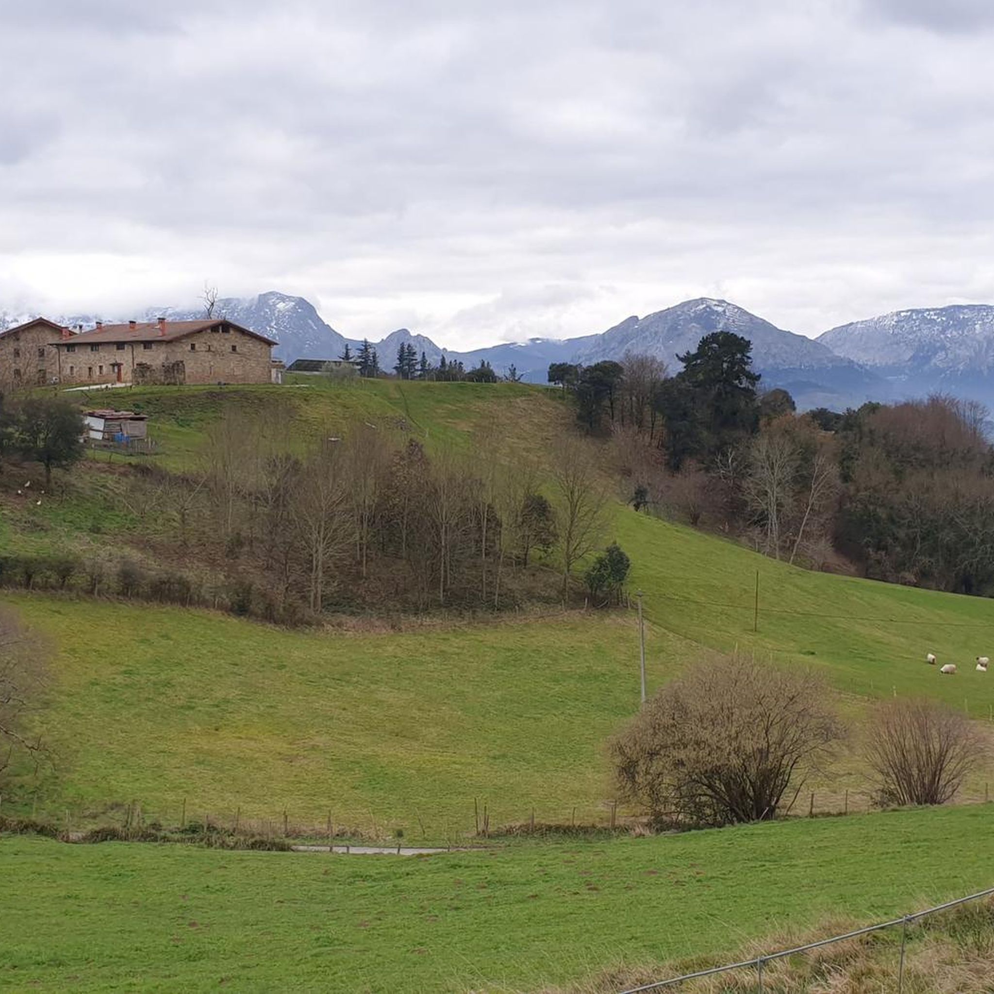
Tips from the Community

The first summit you reach when leaving the Urkiola Sanctuary. The views of the Anboto and its ridge, impressive.
1
0

Beautiful place for all tastes For hiking, cycling, to bring children with a park with swings
0
0
It's one of those places that impresses you, and the climb is a delight.
0
0
One of Gipuzkoa's iconic mountains. And no wonder. I'd never done it before, and I loved it.
4
0
The Alluitz's younger brother, on the other side of the Artola pass. It's also demanding and should be avoided on wet terrain.
1
0
I loved this mountain, but it's incredibly tough on one hand, and somewhat dangerous on the other. Not so much from falling, but from slipping on the smooth rock, especially in the quarry area, on the north side.
3
1
Frequently Asked Questions
How many mountaineering routes are available around Berriz?
There are 7 distinct mountaineering routes around Berriz, offering a range of experiences for different skill levels. These routes are highly rated by the komoot community.
What are the difficulty levels of mountaineering routes in Berriz?
The routes around Berriz cater to various skill levels. You'll find 3 moderate routes and 4 difficult routes, ensuring options for both experienced mountaineers and those looking for a significant challenge.
Are there any circular mountaineering routes in the Berriz area?
Yes, many of the mountaineering routes around Berriz are circular. For example, the challenging Anboto (1,331 m) loop from Urkiolako parke naturala and the Urkiola Sanctuary – Urkiolaguirre Summit loop from Urkiolako parke naturala are both popular circular options.
What kind of terrain can I expect on mountaineering routes near Berriz?
The terrain around Berriz is varied, featuring accessible mountain peaks like Anboto and Alluitz, and a network of trails that traverse natural parks. You can expect significant elevation gains, rocky sections, and paths through diverse landscapes, including areas with ancient trees like oaks and beeches.
Are there any notable landmarks or natural features to see along the routes?
Yes, the region boasts several interesting natural features and landmarks. You might encounter the Hermitage of the Holy Christ of Atxarte or the San Martín Hermitage and Caves. For natural wonders, look out for the Water Cave or the View of Anboto from Udalatx Cave.
What do other mountaineers say about the routes in Berriz?
The mountaineering routes in Berriz are highly regarded by the komoot community, holding an impressive average rating of 5.0 stars from over 5 reviews. Nearly 100 mountaineers have explored these varied terrains, often praising the challenging ascents and the natural beauty of the Urkiola Natural Park.
Are there any routes that offer substantial elevation gain for a challenging experience?
Absolutely. For a significant challenge, consider the Anboto (1,331 m) – Anboto Summit loop from Anboto. This difficult route features a substantial elevation gain of over 1000 meters, leading directly to the Anboto summit.
Can I find routes that lead to prominent summits?
Many routes in Berriz lead to prominent summits. For instance, the Alluitz (1034m) – Larrano Refuge loop from Untzillatx takes you towards the Alluitz peak, offering a rewarding mountaineering experience.
Are there any facilities or huts available near the mountaineering trails?
Yes, you can find some facilities and huts in the vicinity. The Usandi Hostel and Ubanji Guesthouse, Bolibar are options for accommodation. Additionally, the San Ignacio Hermitage and Picnic Area offers a spot for rest.
Which route is recommended for exploring the Urkiola Natural Park?
To explore the Urkiola Natural Park, the Urkiola Sanctuary – Urkiolaguirre Summit loop from Urkiolako parke naturala is an excellent choice. This moderate 9.6 km trail takes you through the heart of the park, often completed in about 3 hours 25 minutes.
Are there any routes that combine multiple peaks?
While specific routes listed focus on individual prominent peaks, the general area around Berriz, as described in regional research, offers longer loops that encompass multiple summits like Santikurutz and Sarrimendi. For a challenging option, consider the Mugarra – Leungane loop from Mañaria which explores multiple mountain features.
Most popular attractions around Berriz

Get inspired with the komoot mobile app


Explore more
Browse the best Mountain Hikes & Routes in other regions.
