The best walks and hikes around Camporrobles
4.6
(52)
265
hikers
20
hikes
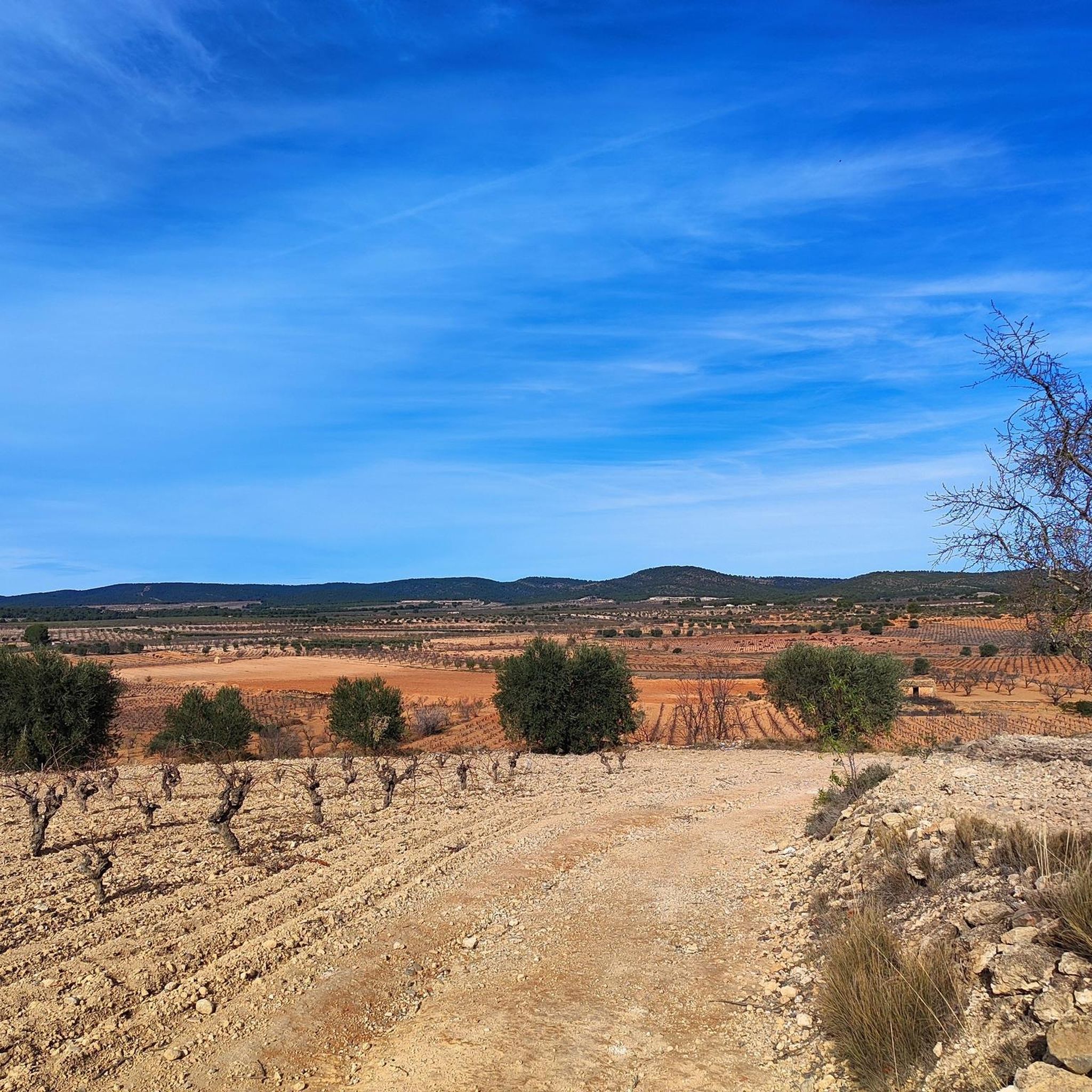
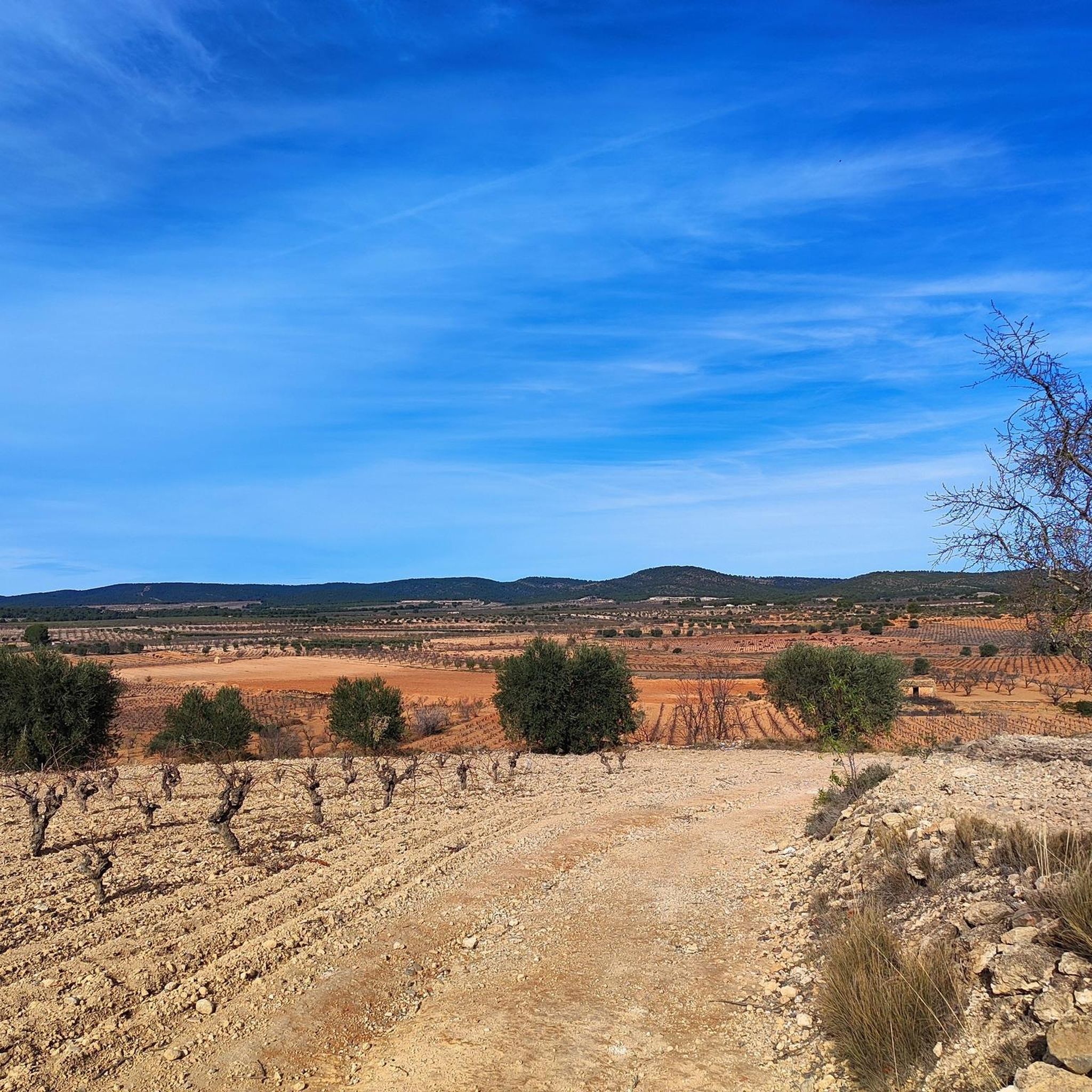
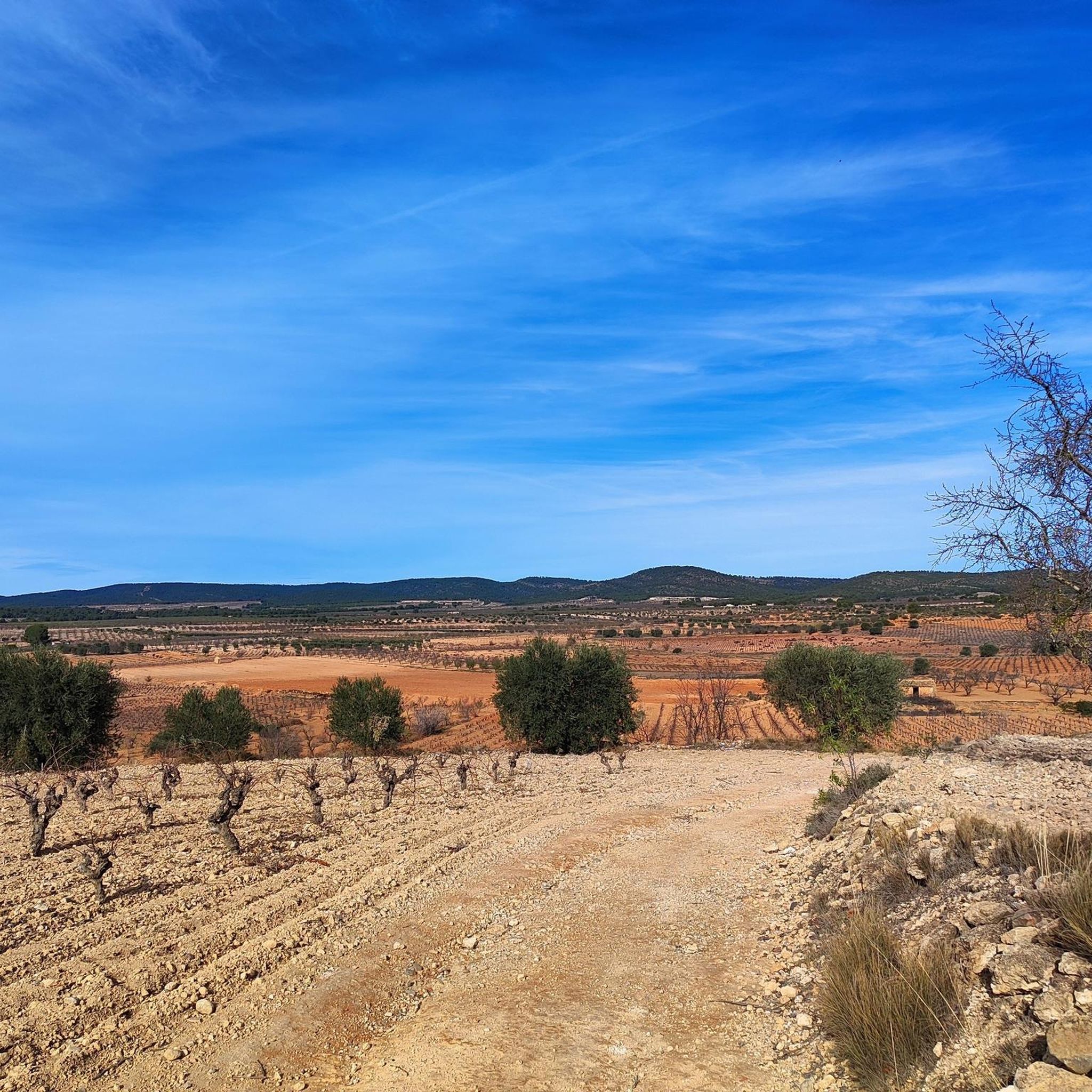
Hiking trails around Camporrobles are situated at an altitude of 900 meters, offering diverse landscapes that include both cultivated fields and rugged mountainous areas. The terrain features a mosaic of cereal fields, vineyards, and almond groves, alongside hills, ravines, and small valleys. Elevated rocky peaks provide natural viewpoints and habitats for wildlife, contributing to the region's varied natural features.
Best hiking trails around Camporrobles
- The most popular hiking route is Cuchillos de Contreras Trail, a 3.7 miles (6.0 km)…
Last updated: June 27, 2026
4.2
(5)
48
hikers
6.38km
01:42
60m
60m
Hike the easy 4.0-mile Los Cuchillos del Cabriel Trail to see unique knife-like rock formations and river views in Hoces del Cabriel Natural
2
hikers
Hard hike. Very good fitness required. Easily-accessible paths. Suitable for all skill levels.

Sign up for free
4
hikers
29.1km
08:35
870m
870m
Hard hike. Very good fitness required. Easily-accessible paths. Suitable for all skill levels.
5.0
(3)
17
hikers
4.17km
01:19
70m
70m
Moderate hike. Great for any fitness level. Mostly accessible paths. Sure-footedness required.
4.5
(2)
9
hikers
9.73km
02:49
250m
250m
Moderate hike. Good fitness required. Easily-accessible paths. Suitable for all skill levels.
Get access to more routes and recommendations from other explorers.
Sign up for free
Already have an account?
Our route recommendations are based on thousands of hikes, rides, and runs completed by other people on komoot.
Start today with a free account
Your next adventure awaits.
Login or Signup


Other adventures around Camporrobles

Tips from the Community

The path leads across private land. Passage is not possible.
0
0
The path leads across private property. Passage is not possible.
0
0

Square remarkable tower.
11
0
The Contreras dam (Embalse de Contreras) is a 129-meter-high arch dam built in 1972. Located on the border of the provinces of Cuenca (Castilla-La Mancha) and Valencia, the dam spans the Cabriel and Guadazaón rivers. The reservoir serves mainly for water supply, flood protection, and irrigation.
10
1
Villargordo del Cabriel is a municipality in the Requena-Utiel region, in the province of Valencia. The town is located on the banks of the Cabriel River and is on the border between Castilla-La Mancha and the Valencia region. One of the biggest tourist attractions is the beautiful nature, which is remarkably well preserved.
14
0
Small village in a beautiful setting, with a central square, a small shop and a huge church.
13
0
Beautiful campsite and starting point for hikes and bike tours.
15
0
beautiful viewpoint, a bench covered with reeds has now been placed there.
9
0
Frequently Asked Questions
How many hiking trails are available around Camporrobles?
There are over 20 hiking trails around Camporrobles, offering a variety of experiences for different skill levels. These routes are highly rated by the komoot community, with an average score of 4.6 stars.
Are there easy hiking trails suitable for beginners or families in Camporrobles?
Yes, Camporrobles offers several easy trails. For example, the Cuchillos de Contreras Trail is an easy 6 km route with moderate elevation gain. Another accessible option is the Los Cuchillos del Cabriel Trail, which is 6.4 km and offers views of the Cabriel River valley. These trails are generally well-suited for those looking for a less strenuous walk.
What kind of landscapes can I expect to see while hiking in Camporrobles?
The terrain around Camporrobles is diverse, featuring both gentle cultivated fields and rugged mountainous areas. You'll encounter a mosaic of cereal fields, vineyards, and almond groves, alongside hills, ravines, and small valleys adorned with aromatic plants, holm oaks, pines, and junipers. Elevated rocky peaks provide natural viewpoints and habitats for abundant wildlife.
Are there any challenging hikes in the Camporrobles region?
Yes, for those seeking a more demanding experience, Camporrobles offers difficult trails. The The Senda Sierra del Rubial (PR-CV 299) — Circular to the summit of El Moluengo is a challenging 20.1 km route through mountainous terrain, typically taking over 5 hours to complete with significant elevation gain.
What are some notable landmarks or viewpoints along the hiking trails?
Camporrobles is rich in natural and historical landmarks. You can find exceptional views over the Cabriel River valley from areas like Hoya de Contreras. The Peña Azul Viewpoint offers panoramic vistas of the valley and the Hoces del Cabriel Natural Park. Additionally, the Contreras Bridge - Cabriel River is a historic 19th-century architectural feature worth seeing.
Are there circular hiking routes available in Camporrobles?
Yes, there are several circular routes. The PR-V 293 "Ruta Íbera" is a 6.8 km circular trail that starts in the village and leads through the El Molón Municipal Natural Park to the El Molón Archaeological Park. Another option is the challenging The Senda Sierra del Rubial (PR-CV 299) — Circular to the summit of El Moluengo.
Can I spot wildlife while hiking in Camporrobles?
Yes, the diverse Mediterranean flora, including mountain junipers, pine forests, and rock-dwelling vegetation, creates an ideal environment for wildlife. Common sightings include ocellated lizards, genets, stone martens, weasels, Iberian hedgehogs, garden dormice, roe deer, and wild boars, especially in elevated rocky peaks and outcrops.
What is the best time of year to go hiking in Camporrobles?
Camporrobles offers hiking opportunities throughout the year. The landscape transforms with the changing seasons, from vibrant cereal fields and vineyards in spring and summer to the rich colors of autumn. The region's altitude of 900 meters provides pleasant conditions, though specific preferences might depend on whether you prefer cooler temperatures or warmer, sunnier days.
Are there any historical sites to explore along the trails?
Absolutely. The El Molón Archaeological Park, accessible via the PR-V 293 "Ruta Íbera," is a significant historical site with ancient cisterns, a defensive system, and a winery from the Iberian period. You can also find historical trenches from the 19th century, such as the Peñas Blancas Path Trench, offering insight into the region's past.
Are there any specific areas for birdwatching?
Yes, the El Molón Municipal Natural Park is a prime location for birdwatching. Additionally, the elevated rocky peaks and formations like Los Dientes del Quijar and Las Hoyas are excellent spots for observing various bird species.
What amenities are available for hikers in Camporrobles?
The El Molón Municipal Natural Park features a recreational area with amenities suitable for picnics. For cultural insights, you can visit the El Molón Archaeological Park Interpretive Center, the Ethnographic Museum, and the Raúl Gómez Museum Collection in the area.
Are there any long-distance routes that pass through Camporrobles?
Yes, Camporrobles is part of several significant long-distance routes. The GR-238 "Tierra del Vino" traverses the wine-producing region of Requena-Utiel, with Camporrobles being a key part of three of its sections. The historic Camino de Santiago - Ramal de Levante (The Wool Road) and the Camino de la Vera Cruz (Templar Way) also pass through the village.
Most popular attractions around Camporrobles

Get inspired with the komoot mobile app


Explore more
Browse the best Hikes in other regions.
