The best running trails around Ludiente
5.0
(4)
502
runners
34
runs
Jogging routes around Ludiente offer access to the mountainous province of Castellón in the Region of Valencia, Spain. The area is characterized by rugged landscapes, impressive mountains, gorges, and waterfalls, providing varied and scenic running routes. Situated in one of Spain's most mountainous provinces, Ludiente presents challenging ascents and descents for runners. The region's diverse topography includes striking natural attractions such as the "Estrechos de Chillapájaros" gorge and the "Salto de la Novia de Cirat" waterfall, which create dynamic terrain…
Last updated: June 28, 2026
48
runners
17.2km
02:20
810m
820m
Hard run. Very good fitness required. Sure-footedness, sturdy shoes and alpine experience required.
46
runners
10.4km
01:24
370m
370m
Hard run. Very good fitness required. Sure-footedness, sturdy shoes and alpine experience required.

Sign up for free
59
runners
16.7km
02:01
460m
460m
Hard run. Very good fitness required. Sure-footedness, sturdy shoes and alpine experience required.
5.0
(1)
14
runners
11.3km
01:29
420m
420m
Hard run. Very good fitness required. Mostly paved surfaces. Suitable for all skill levels.
8
runners
9.87km
01:16
390m
390m
Hard run. Very good fitness required. Mostly paved surfaces. Suitable for all skill levels.
Get access to more routes and recommendations from other explorers.
Sign up for free
Already have an account?
Our route recommendations are based on thousands of hikes, rides, and runs completed by other people on komoot.
Start today with a free account
Your next adventure awaits.
Login or Signup
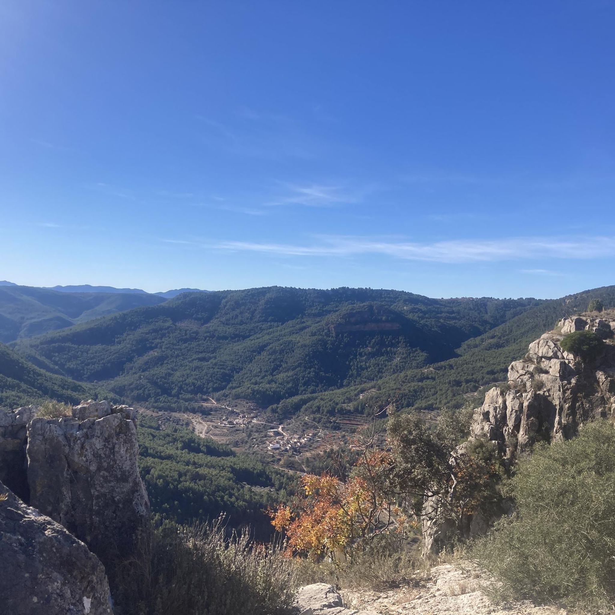
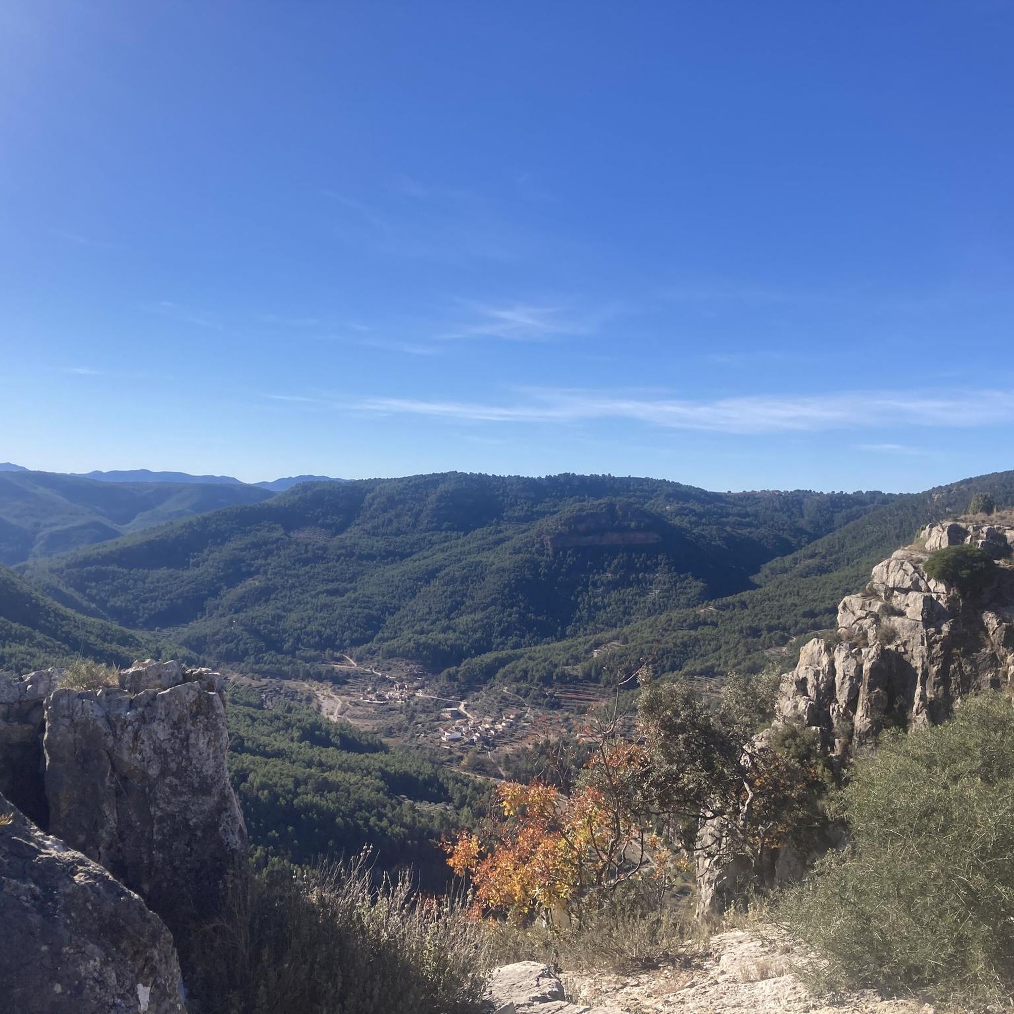
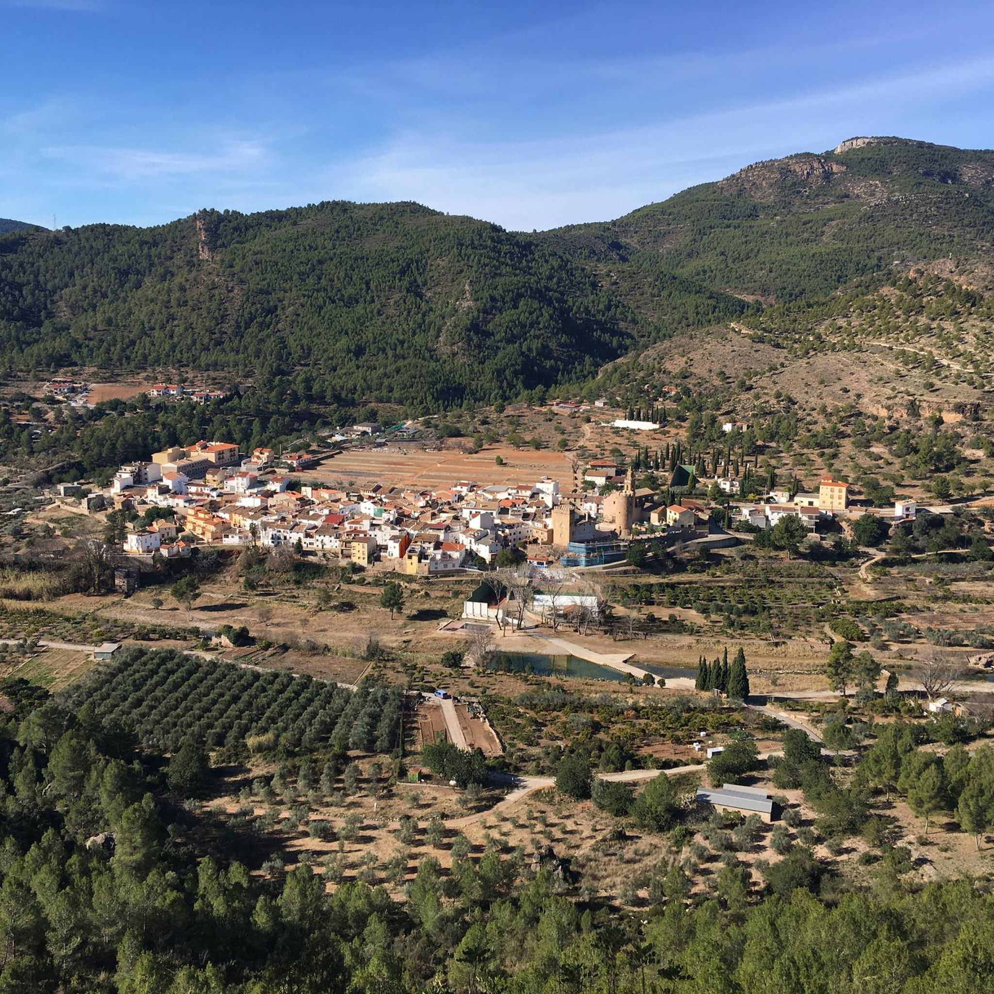
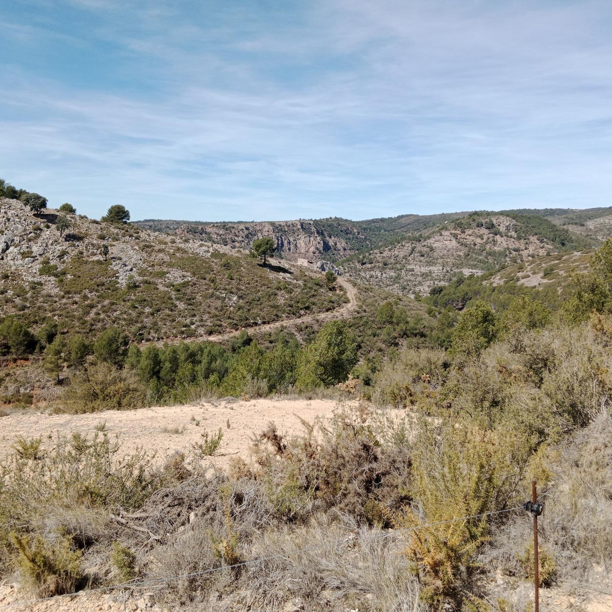

Tips from the Community

A unique site with a beautiful waterfall and natural water pool, very refreshing for summer days. It is located on the riverbed of the Llucena River, which gives it a very pleasant and picturesque environment.
1
0

Ideal for sitting, resting, having a drink, even bathing.
2
0
Next to the Villahermosa river we find this picnic area and its source.
2
0
Antennas located at the top of a rocky cut. Good views from here of: Penyagolosa, Mediterranean Sea, Santa Barbara (Pina de Montalgrao, Villahermosa river and Argelita.
0
0
Picnic area with several work tables, perfect for resting and eating, next to the Villahermosa river.
1
0
Frequently Asked Questions
How many running routes are available around Ludiente?
Ludiente and its surroundings offer a wide selection of running routes, with over 30 trails available for exploration. These routes vary in difficulty, providing options for different fitness levels.
What kind of terrain can I expect on jogging routes in Ludiente?
Jogging routes in Ludiente are characterized by mountainous terrain, offering challenging ascents and descents. The region is known for its rugged landscapes, deep gorges like the Estrechos de Chillapájaros, and diverse trails that provide a dynamic experience for runners.
Are there any easy or beginner-friendly running routes in Ludiente?
While Ludiente is situated in a mountainous province and many routes are classified as difficult, there are some moderate options available. Currently, there are 5 routes rated as moderate, which might be more suitable for beginners or those looking for a less strenuous run compared to the more challenging trails.
Can I find running routes that feature natural landmarks like waterfalls or gorges?
Yes, the region around Ludiente is rich in natural attractions. You can find routes that pass near striking features such as the Estrechos de Chillapájaros gorge or the beautiful Salto de la Novia of Cirat waterfall. These offer picturesque settings and dynamic terrain for your run.
What do other runners say about the trails in Ludiente?
The running routes in Ludiente are highly regarded by the komoot community, boasting an average rating of 5.0 stars from more than 3 reviews. Over 400 runners have used komoot to explore the varied terrain, often praising the challenging ascents and the stunning natural beauty of the area.
Are there any circular running routes in the Ludiente area?
Yes, many of the running routes around Ludiente are designed as loops, allowing you to start and finish in the same location. For example, the popular Corral del Rosaire loop from Cirat is a 6.5-mile trail, and the Mas de Galapo – Water Route loop from Llucena offers an 8.0-mile circular path.
What are some notable points of interest or attractions I might see while running near Ludiente?
Beyond the natural beauty, you might encounter various points of interest. The area features natural monuments like Pozo Negro de Torrechiva, and scenic viewpoints such as the View of Embalse de Arenoso and Muela de Mijares from El Morrón de Campos. The Fuente de los Baños - Montanejos Lake is also a significant natural highlight in the wider region.
What is the best time of year for outdoor running activities in Ludiente?
The mountainous province of Castellón, where Ludiente is located, offers diverse conditions. While specific seasonal recommendations for jogging aren't detailed, the region's natural parks and trails are generally suitable for outdoor activities throughout much of the year. Consider the warmer months for longer daylight and the cooler seasons for more comfortable temperatures on challenging ascents.
Are there any running routes that follow water features?
Yes, some routes incorporate natural water features. The Mas de Galapo – Water Route loop from Llucena is an example of a trail that traverses landscapes including areas with natural water elements, offering a refreshing aspect to your run.
What is the typical elevation gain on running trails in Ludiente?
Given the mountainous terrain, you can expect significant elevation changes. For instance, the Fábrica de Luz loop from Castillo de Villamalefa involves over 400 meters of elevation gain, while the Alto de Pepe el Mingo loop from Toga features over 560 meters of ascent, providing excellent training opportunities.
How long do the running routes around Ludiente typically take to complete?
The duration of running routes varies depending on their length and difficulty. For example, the Corral del Rosaire loop from Cirat, which is 6.5 miles (10.4 km), typically takes about 1 hour and 24 minutes. Longer or more challenging routes, like the Alto de Pepe el Mingo loop from Toga (7.5 miles / 12 km), can take over 1 hour and 50 minutes.
Most popular attractions around Ludiente

Get inspired with the komoot mobile app


Explore more
Browse the best Running Trails & Routes in other regions.
