The best running trails around Pinilla De Los Moros
47
runners
5
runs
Jogging around Pinilla De Los Moros offers routes through the Sierra de la Demanda, a mountainous region characterized by dense forests of oak, beech, and Scots pine. The area features varied topography, with an average height of 1030 meters and a range of elevation suitable for different running levels. Jogging paths often follow rivers such as the Pedroso and Arlanzón, providing scenic routes through the natural landscape. This region provides a tranquil environment for outdoor activities, away from urban areas.
…Last updated: July 12, 2026
3
runners
11.7km
01:26
190m
190m
Hard run. Good fitness required. Sure-footedness, sturdy shoes and alpine experience required.
21
runners
19.3km
02:25
400m
400m
Hard run. Very good fitness required. Sure-footedness, sturdy shoes and alpine experience required.

Sign up for free
12
runners
13.8km
01:40
260m
260m
Hard run. Good fitness required. Sure-footedness, sturdy shoes and alpine experience required.
8
runners
21.1km
02:57
810m
800m
Hard run. Very good fitness required. Sure-footedness, sturdy shoes and alpine experience required.
3
runners
5.79km
00:40
50m
40m
Moderate run. Good fitness required. Mostly paved surfaces. Suitable for all skill levels.
Our route recommendations are based on thousands of hikes, rides, and runs completed by other people on komoot.
Start today with a free account
Your next adventure awaits.
Login or Signup
Tips from the Community

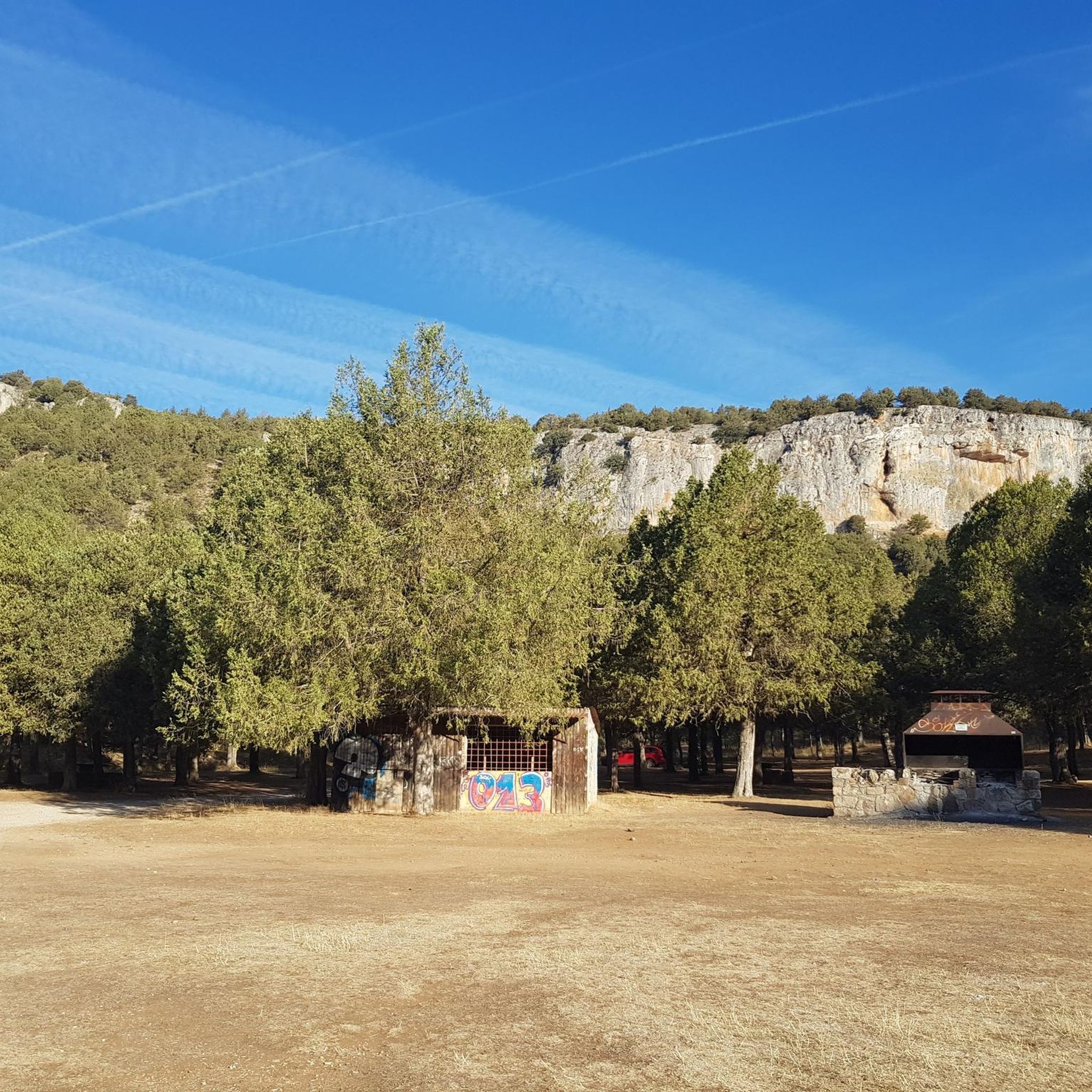
El Castillejo (1,347 m) is a twin peak located in the Sierra de las Mamblas, 5 km north of the town of Covarrubias (Burgos). It owes its name to its natural defensive rock formations. On its summit, an artificial cavity is preserved that served as a strategic watchtower. The mountain offers a spectacular panoramic view of the Arlanza valley and the Sierra de la Demanda. At its foothills lies the Hermitage of Our Lady of Mamblas (Ermita de Nuestra Señora de Mamblas). The terrain features rocky barriers that served as a defensive settlement in antiquity.
0
0


The peak bears this name thanks to its tower shape. The views are spectacular, highlighting the Sierra del Mencilla to the North, the Sierra de Cervera to the South, and that of its partner, the Muela de las Mamblas to the East.
2
0

In the municipality of Hortigüela, on the road to Covarrubias, is the monastery of San Pedro de Arlanza, today in ruins; currently it can be visited.
0
0
Castrovido castle is one of the emblems of Salas de los Infantes. Its Celtiberian and Roman origin is possible. It is located at the top of a small hill and has been restored inside.
1
0
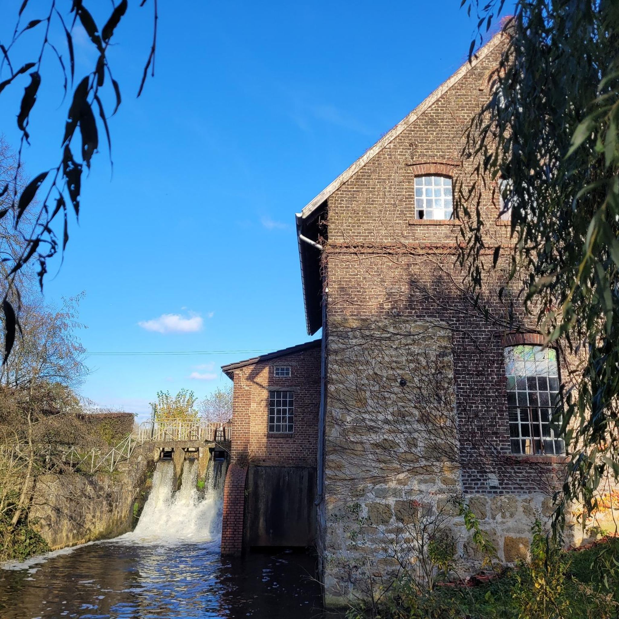
Located in the valley of the Arlanza river, in the southeast of the province of Burgos. The territory where Salas is today was inhabited by the Celtiberian tribe of the Pelendones, who occupied a fort on a hill, until the arrival of the Romans, who established a settlement on the river bank.
0
0
Beautiful initiative that gives faces to the forests of this area and the north of the Sierra de Covarrubias, giving memory to former farmers and people who lived in these forests.
0
0
The highest mountain in the Sierra de Covarrubias and which in the winter months is covered with snow due to its height and continentality.
0
0
Frequently Asked Questions
How many running routes can I find around Pinilla De Los Moros?
There are 6 dedicated running routes available around Pinilla De Los Moros, offering a variety of experiences through the Sierra de la Demanda. These routes cater to different fitness levels, from moderate village loops to more challenging mountain trails.
What kind of terrain can I expect on the jogging trails in Pinilla De Los Moros?
The jogging trails in Pinilla De Los Moros primarily traverse the diverse landscape of the Sierra de la Demanda. You can expect routes winding through dense forests of oak, beech, and Scots pine, as well as varied mountainous terrain. Some paths also follow rivers like the Pedroso and Arlanzón, offering pleasant scenery and the sounds of flowing water.
Are there any easy or beginner-friendly running routes in the area?
While there are no routes specifically graded as 'easy' in our current selection, there are moderate options suitable for those looking for a less strenuous run. For example, the Hacinas Village loop from Hacinas is a moderate 3.6-mile (5.8 km) trail that takes about 40 minutes to complete, offering a gentle introduction to the region's beauty.
What are some challenging running routes for experienced joggers?
For experienced runners seeking a challenge, Pinilla De Los Moros offers several difficult routes. The Hortigüela – Castillejo loop from Hortigüela is a demanding 13.2-mile (21.2 km) trail with significant elevation changes, while the Salas de los Infantes loop from Salas de los Infantes covers 12.9 miles (20.7 km) with considerable ascent and descent.
Are there any circular running routes around Pinilla De Los Moros?
Yes, many of the running routes in the area are circular, allowing you to start and finish in the same location. A popular option is the Castillo de Castrovido — circular from Salas de los Infantes, a difficult 7.3-mile (11.7 km) trail that offers varied terrain and elevation changes.
What natural features or landmarks can I see while running in Pinilla De Los Moros?
The region is rich in natural beauty. While running, you'll pass through ancient oak and pine forests and alongside rivers. For specific landmarks, you might consider routes near the Salas de los Infantes Historic Center or explore the broader area which includes highlights like Pico Mencilla and the charming settlement of Hortigüela.
Is Pinilla De Los Moros a good place for dog-friendly running?
Pinilla De Los Moros, with its extensive natural landscapes and tranquil environment, is generally very welcoming for dog owners. The numerous forest trails and open paths provide ample space for dogs to enjoy alongside their owners. Always ensure your dog is under control and respect local wildlife and regulations.
What is the best time of year to go jogging in Pinilla De Los Moros?
The Sierra de la Demanda region, including Pinilla De Los Moros, offers a pleasant environment for jogging for much of the year. Spring and autumn are particularly ideal, with milder temperatures and beautiful seasonal foliage. Autumn is also a 'paradise' for mushroom enthusiasts, adding another dimension to your outdoor experience. Summers can be warm, while winters may bring colder temperatures and snow at higher elevations.
Are there any running trails that follow old railway lines?
Yes, the region has converted former mining railway lines into nature trails, often referred to as Greenways. These provide relatively flat and accessible routes through the landscape, which are excellent for jogging or cycling. These trails often run alongside or cross rivers, offering a unique blend of natural beauty and historical interest.
What makes the running experience in Pinilla De Los Moros unique?
Jogging in Pinilla De Los Moros offers a unique experience due to its location within the Sierra de la Demanda. Runners benefit from the region's clean air, tranquil rural environment, and diverse natural features, including dense forests, varied mountainous terrain, and pristine river valleys. It's an ideal setting for those seeking both physical activity and an immersive connection with nature away from urban bustle.
How long do the running routes typically take to complete?
The duration of running routes varies depending on their length and difficulty. For example, a moderate route like the Hacinas Village loop from Hacinas (3.6 miles / 5.8 km) can be completed in about 40 minutes. More challenging routes, such as the Castillo de Castrovido — circular from Salas de los Infantes (7.3 miles / 11.7 km), typically take around 1 hour 26 minutes.
Can I find routes suitable for a family run?
While specific 'family-friendly' routes are not explicitly categorized, the moderate trails, especially those with less elevation gain, can be suitable for families who enjoy running together. The Hacinas Village loop from Hacinas is a shorter, moderate option that might be enjoyable for families looking for a pleasant outdoor activity.
Most popular attractions around Pinilla De Los Moros

Get inspired with the komoot mobile app


Explore more
Browse the best Running Trails & Routes in other regions.
