The best walks and hikes around Barajas De Melo
4.1
(9)
47
hikers
24
hikes
Hiking around Barajas De Melo offers exploration of a landscape characterized by rolling hills, cultivated fields, and the natural features of the Sierra de Altomira. The region, situated in the province of Cuenca, Spain, provides diverse terrain for outdoor activities. Hikers can discover well-preserved riverbanks along the Nacimiento del río Calvache and enjoy views across the expansive countryside. This area presents a blend of tranquil rural scenery and opportunities for varied hiking experiences.
Best hiking trails around Barajas De Melo
…Last updated: July 9, 2026
5.0
(2)
3
hikers
10.6km
03:04
260m
250m
Moderate hike. Good fitness required. Easily-accessible paths. Suitable for all skill levels.
2
hikers
10.6km
03:04
260m
260m
Moderate hike. Good fitness required. Easily-accessible paths. Suitable for all skill levels.

Sign up for free
18.1km
04:53
250m
250m
Moderate hike. Good fitness required. Mostly accessible paths. Sure-footedness required.
2.5
(2)
11
hikers
6.51km
01:40
20m
20m
Easy hike. Great for any fitness level. Easily-accessible paths. Suitable for all skill levels.
4.0
(1)
4
hikers
7.78km
02:07
110m
110m
Moderate hike. Good fitness required. Easily-accessible paths. Suitable for all skill levels.
Get access to more routes and recommendations from other explorers.
Sign up for free
Already have an account?
Our route recommendations are based on thousands of hikes, rides, and runs completed by other people on komoot.
Start today with a free account
Your next adventure awaits.
Login or Signup
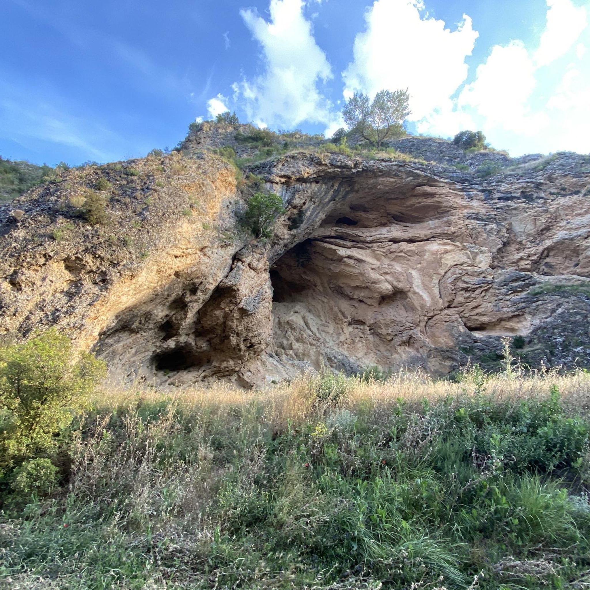
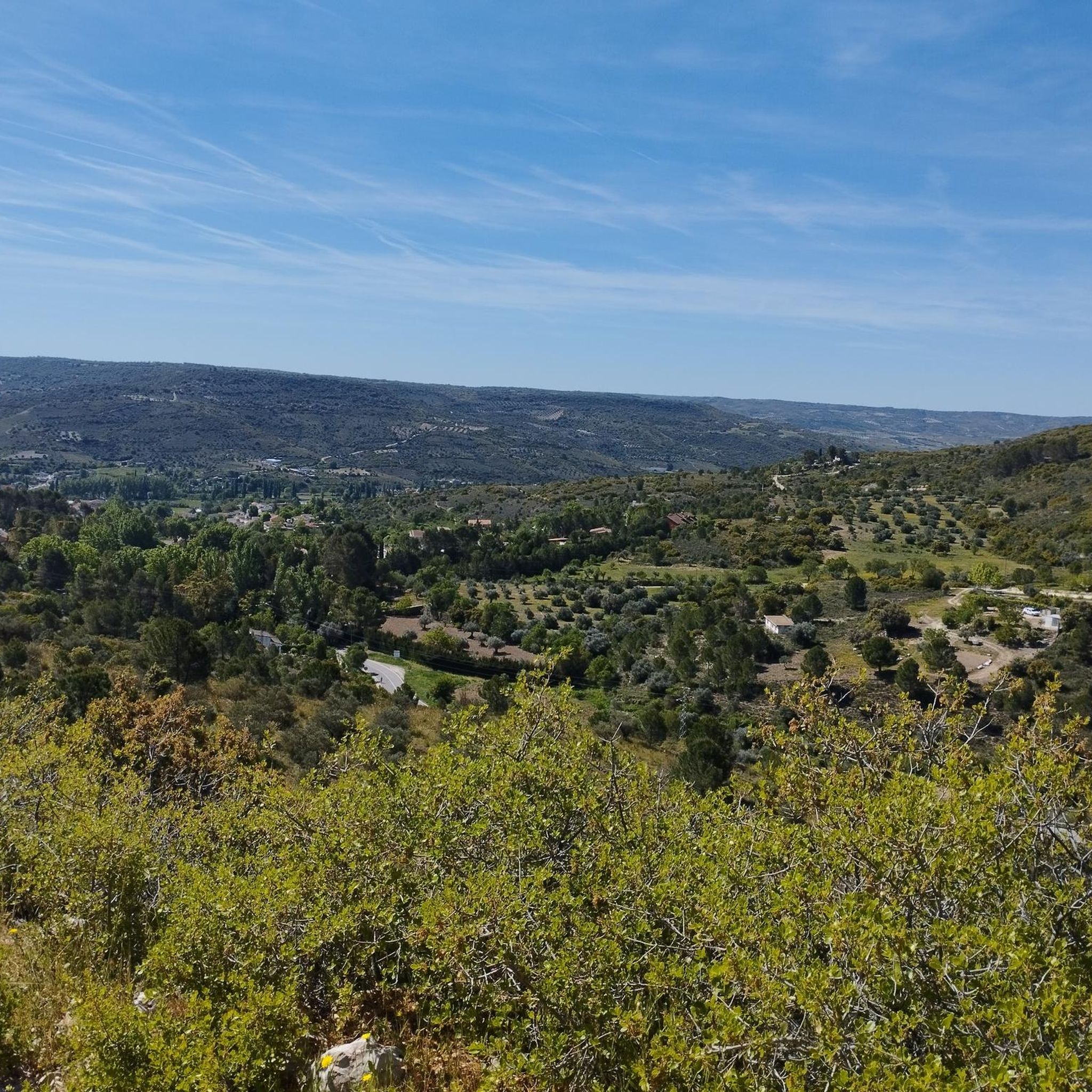
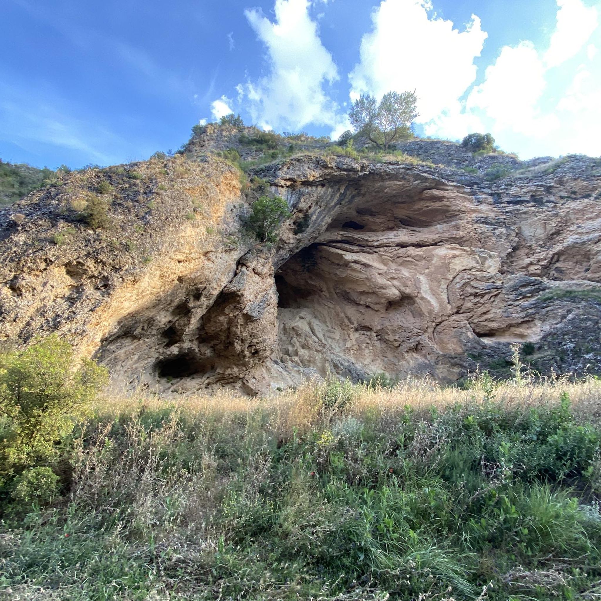

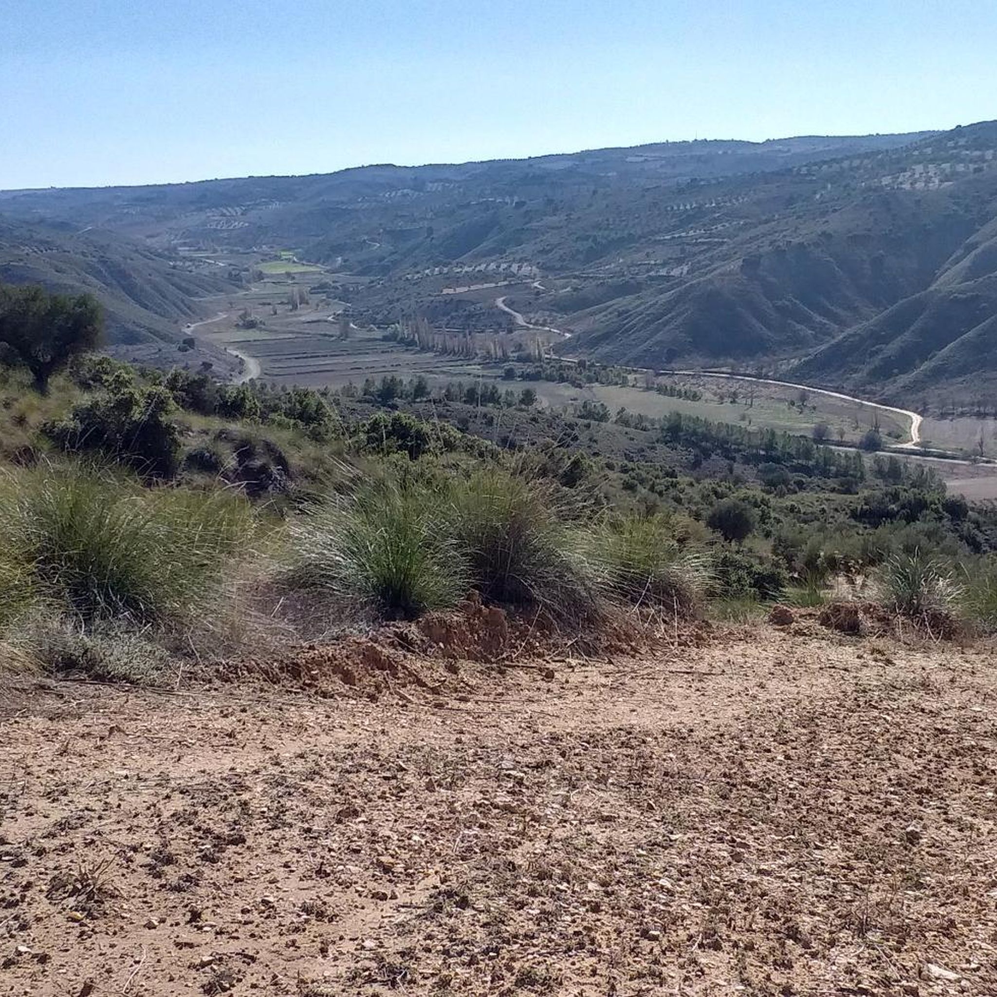
Tips from the Community

The Monastery welcomes you at the top of the village with a stunning view from the road leading to Uclés. After a long bike ride, it is a good reward.
0
0

Built by the Order of Santiago, construction began in 1529 while Charles I reigned and was completed in 1735 under the reign of Philip V. Monumental construction that leaves no one indifferent, and that during the civil war was first a hospital for one side and later a prison for the other. You can visit it by paying an entrance fee and it is no longer used as a guest house because only one monk lives there, who possibly does not reside there at the time I write this chronicle.
2
0
This spectacular building built by the Order of Santiago is the end of the route or pilgrimage path that starts from the Church of Santiago in Madrid, and is usually done by numerous pilgrims both on foot and by bike.
1
0

Tarancón offers several places to visit, among them the following stand out: the Plaza de la Constitución, next to the town hall, the Malena arch, the Church of Our Lady of the Assumption, the sculptures of Don Quixote, inside the palace of the Dukes of Riánsares, and within it the caves.
0
0

Nice path through the Sierra de Altomira, a terrain of little difficulty.
0
1
The place where the hermitage is located is the highest point of the Sierra de Altomira, which stands out over the territory. On clear days you can enjoy the exceptional views of La Alcarria, northern La Mancha and the Meseta Madrileña. Next to the hermitage is the geodesic vertex of the Altomira peak (1183 m) and, a little further north, the ruins of an old tower located in a watchtower.
1
1
The Torca del Hoyo Redondo is a depression or sudden subsidence of the land, typical of soils of calcareous origin, very common in the province of Cuenca.
1
1
Whoever has not visited the monastery has no forgiveness from God, since we are before a colossal construction that due to its greatness and beauty could well be considered a true wonder. It's a pity that only a small part of the building that no longer houses any monks can be visited. Therefore, the hostelry that worked years ago, also stopped opening to the public.
2
0
Frequently Asked Questions
How many hiking trails are available around Barajas De Melo?
There are over 20 hiking routes available around Barajas De Melo, offering a variety of experiences for different skill levels. These include easy walks and moderate trails through the region's diverse landscapes.
What is the overall difficulty level of hiking trails in Barajas De Melo?
The trails around Barajas De Melo cater to a range of abilities. You'll find a good mix, with 15 easy routes perfect for a relaxed stroll, and 9 moderate trails for those seeking a bit more challenge. There are no difficult routes listed in this area.
What do other hikers say about the trails in Barajas De Melo?
The hiking routes in Barajas De Melo are highly regarded by the komoot community, with an average rating of 3.9 stars from over 7 reviews. Hikers often praise the tranquil rural scenery, the rolling hills, and the opportunities to explore the Sierra de Altomira.
Are there any specific natural features or landmarks to look out for while hiking in Barajas De Melo?
Yes, the region offers several notable natural features. You can explore the Sierra de Altomira, known for its diverse flora and fauna. The Nacimiento del río Calvache boasts one of the best-preserved riverbanks in the Alcarria Conquense region, ideal for a scenic walk. The Alcarrias of the Tajo also present unique geological formations.
Can I find any caves or unique geological formations in the area?
Yes, the area around Barajas De Melo features some interesting geological sites. You can discover the Cueva de la Sima, a notable cave, and the El Hoyo Redondo Sinkhole. There's also a unique Desert Landscape Near Cuenca that offers a different kind of natural beauty.
Are there any circular hiking routes in Barajas De Melo?
Yes, there are several circular routes available. A popular option is the Camino de Altomira (PR-CU 40) — circular desde Saceda-Trasierra, which explores the Sierra de Altomira. Other circular trails include the Tarancón loop from Tarancón and the Trail to Cerro Mojón – Tarancón loop from Tarancón.
Are there easy or beginner-friendly hiking options in the area?
Absolutely. Barajas De Melo offers 15 easy routes, perfect for beginners or those looking for a relaxed walk. The Tarancón loop from Tarancón is a good example of an easy trail, covering about 6.5 km with minimal elevation gain.
What is the best time of year to go hiking in Barajas De Melo?
The region's climate makes spring and autumn ideal for hiking, offering pleasant temperatures and vibrant landscapes. Summer can be warm, so early mornings or late afternoons are recommended if hiking during this season. Winter offers a quieter experience, though some trails might be cooler.
Are the hiking trails in Barajas De Melo suitable for families with children?
Many of the 15 easy routes in Barajas De Melo are suitable for families. These trails often feature gentle terrain and offer opportunities to enjoy the natural surroundings without significant challenges. The riverside walk along the 'paseo del río Calvache' is also a pleasant option for families.
Can I bring my dog on the hiking trails in Barajas De Melo?
Generally, dogs are welcome on many hiking trails in rural Spain, including those around Barajas De Melo. However, it's always advisable to keep your dog on a leash, especially in areas with livestock or protected wildlife, and to ensure you clean up after them. Check local signage for any specific restrictions.
Is parking available at the trailheads in Barajas De Melo?
As a rural area, parking is generally available near trailheads or in the villages from which routes depart, such as Barajas De Melo itself or Saceda-Trasierra for the Sierra de Altomira trails. Specific parking information might vary per trailhead, but roadside parking or small village car parks are common.
Are there any places to eat or stay near the hiking routes?
Barajas De Melo and surrounding villages offer local establishments where hikers can find refreshments and accommodation. You'll typically find traditional Spanish restaurants and guesthouses that cater to visitors exploring the region. It's recommended to check availability in advance, especially during peak seasons.
Do I need any permits to hike in the Cuenca province?
For general hiking on established trails in the Cuenca province, including around Barajas De Melo, permits are typically not required. However, if you plan to visit specific natural parks or protected areas, it's always a good idea to check with local authorities for any specific regulations or access requirements.
Most popular routes around Barajas De Melo
Most popular attractions around Barajas De Melo

Get inspired with the komoot mobile app


Explore more
Browse the best Hikes in other regions.
