The best walks and hikes around Anguita
5.0
(1)
15
hikers
9
hikes
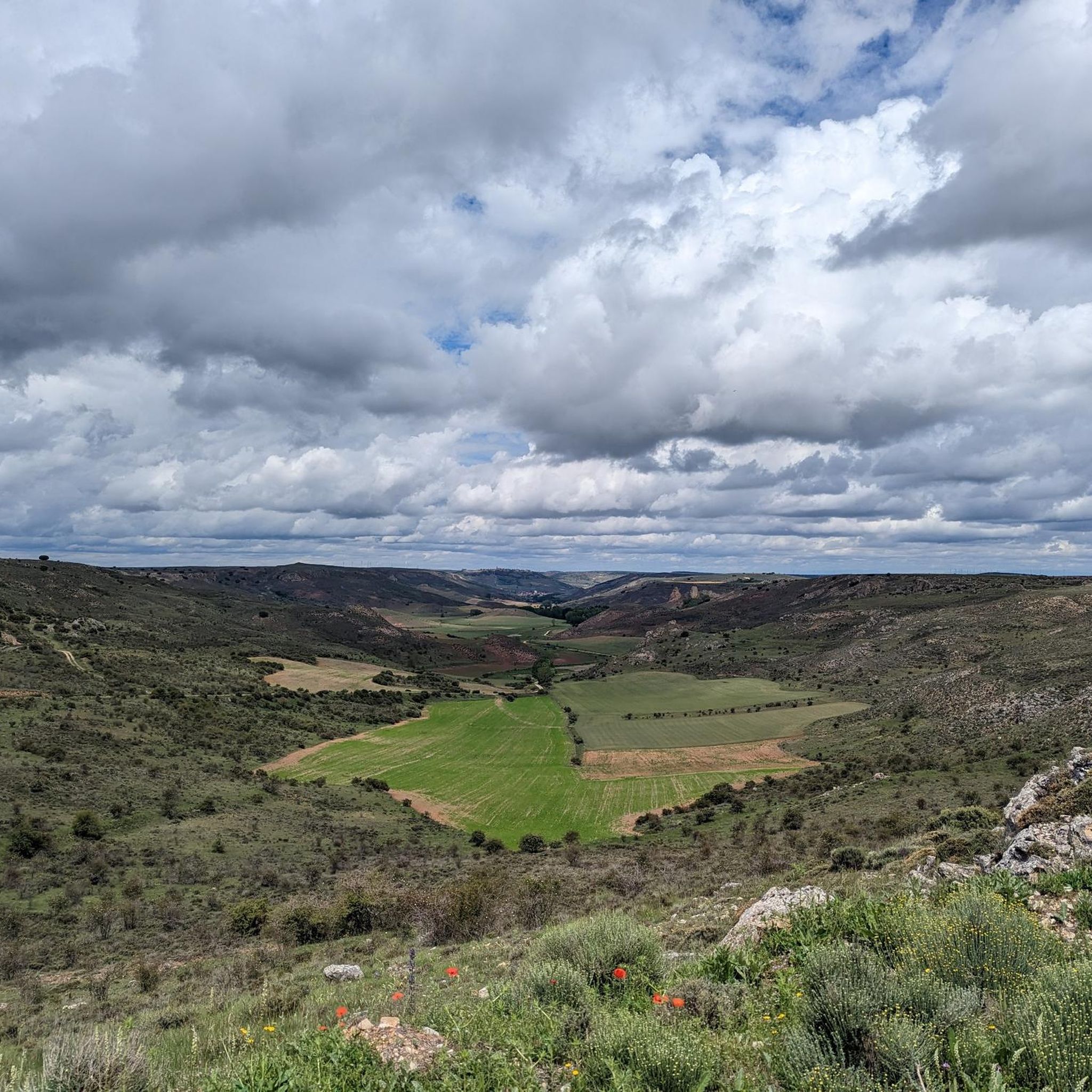
Hiking around Anguita offers diverse landscapes within the Alto Tajo Natural Park, characterized by varied geology and the presence of the Tajuña River. The region provides accessible trails that cater to different fitness levels, from gentle village loops to more challenging routes with significant elevation changes. Hikers can explore areas featuring river valleys, natural rock formations, and the unique terrain of the natural park.
Best hiking trails around Anguita
- The most popular hiking route is Cueva de los Casares and…
Last updated: July 13, 2026
1
hikers
12.9km
03:51
410m
410m
Moderate hike. Good fitness required. Easily-accessible paths. Suitable for all skill levels.
3
hikers
15.2km
04:04
180m
180m
Moderate hike. Good fitness required. Easily-accessible paths. Suitable for all skill levels.

Sign up for free
10.6km
02:50
130m
130m
Moderate hike. Good fitness required. Easily-accessible paths. Suitable for all skill levels.
2
hikers
7.56km
01:57
40m
30m
Easy hike. Great for any fitness level. Easily-accessible paths. Suitable for all skill levels.
2
hikers
11.5km
03:06
150m
150m
Moderate hike. Good fitness required. Easily-accessible paths. Suitable for all skill levels.
Get access to more routes and recommendations from other explorers.
Sign up for free
Already have an account?
Our route recommendations are based on thousands of hikes, rides, and runs completed by other people on komoot.
Start today with a free account
Your next adventure awaits.
Login or Signup

Tips from the Community

Small but precious town of Soria on the banks of the Río Blanco.
0
0
A small but beautiful town with very welcoming people. Very special landscapes.
0
1
It is a beautiful, monumental town, with two churches, San Pedro and Santa María de La Lastra, a Muslim Tower, the Caves of El Cid, a large Plaza Mayor, houses of red sand, and very welcoming people. It is bathed by the Tajuña River, which flows strongly through the town, producing rapids and waterfalls.
0
0
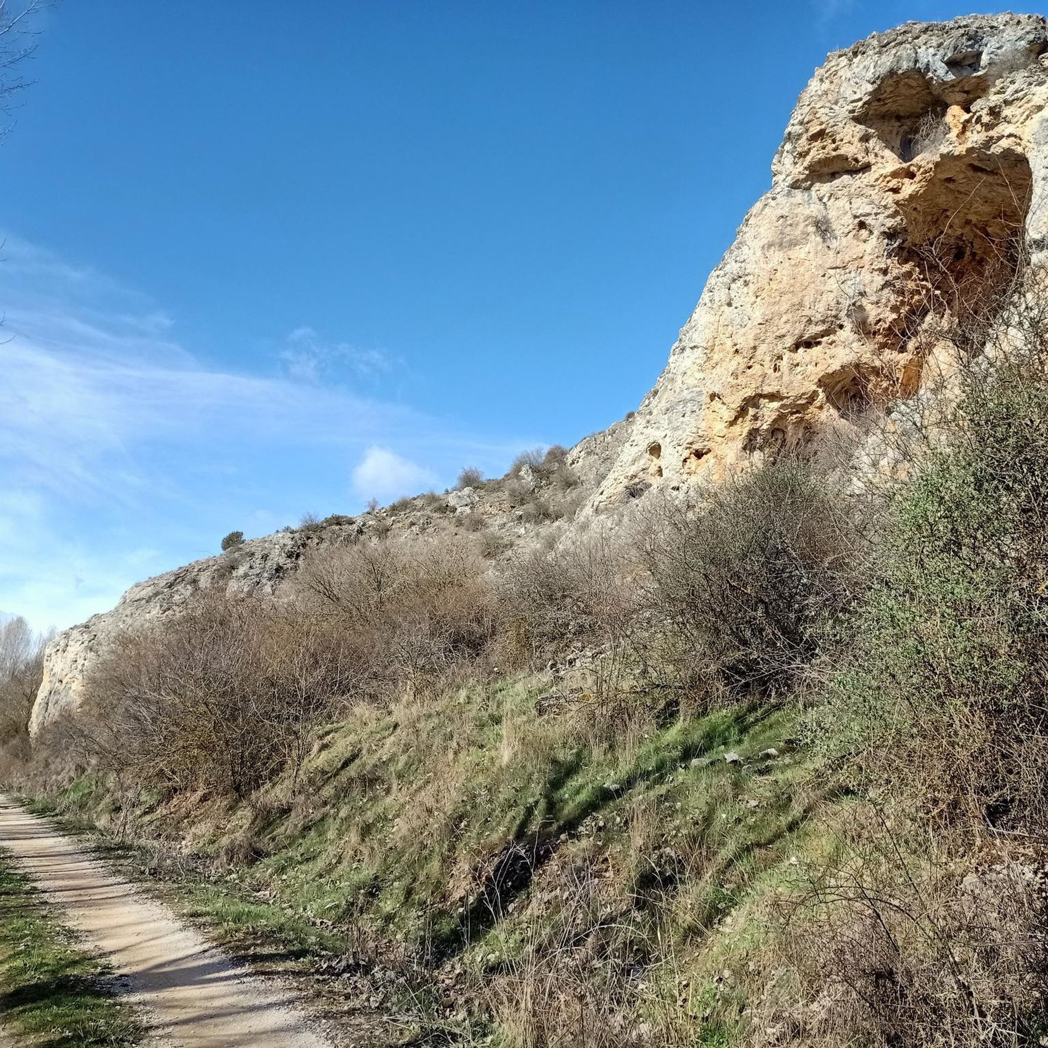
Giant awnings that have been formed "miraculously." A landscape of great beauty.
0
0
Perhaps the best prehistoric cave in Spain. With three rooms or spaces connected by corridors. Many types of animals, some of them in relief.
0
0
Nice place, like the rest of the landscape upstream and downstream of La Hoz del Rio Tajuña.
1
0
Extraordinary town, on the banks of the Tajuña River, full of history. From its Celtiberian Castros through its Roman Camps, to its Cuevas del Cid and its Muslim towers. Nearby is one of the most characteristic Dolmens of the plateau, the Portillo del Cortes Dolmen. There were also menhirs although with the concentration of land they disappeared. Its churches are also of extraordinary value. Its very welcoming people.
1
0
Nice town in the south of the province of Soria. Located between Medinaceli and Maranchón, it has an extraordinary Fountain next to the old laundry and the beautiful Blanco River, once full of crabs.
1
0
Frequently Asked Questions
How many hiking trails are available around Anguita?
There are 9 hiking routes around Anguita, offering a variety of experiences within the Alto Tajo Natural Park. These trails cater to different fitness levels, from easy strolls to more challenging excursions.
Are there easy hiking options suitable for beginners in Anguita?
Yes, Anguita offers several easy hiking options. For instance, the Hiking loop from Anguita is an easy 7.6 km trail. The Anguita Village and Church loop from Anguita is also a good option, providing accessible paths around the village.
What kind of natural features can I expect to see on hikes around Anguita?
Hiking around Anguita means exploring the diverse landscapes of the Alto Tajo Natural Park. You'll encounter varied geology, river valleys, and natural rock formations. Notable features include the Cueva de los Casares, the Valley of Miracles, and the Tajuña River Gorges.
Are there any circular hiking routes in Anguita?
Yes, many of the trails around Anguita are circular. A popular option is the Mouth of the Tajuña River — circular via the Camino del Cid from Anguita, which is a moderate 15.2 km path. Another is the Cueva de los Casares and Valley of Miracles Loop, an 8.0-mile (12.9 km) route.
What are some challenging hikes available near Anguita?
While most routes are moderate, some sections of trails like the Cueva de los Casares and Valley of Miracles Loop can involve significant elevation gain (up to 3,000 ft) and require good fitness. The Mouth of the Tajuña River — circular via the Camino del Cid from Anguita is also considered a moderate hike requiring good fitness.
What is the best time of year to go hiking in Anguita?
Anguita offers hiking opportunities throughout the year. Spring and autumn generally provide pleasant temperatures and vibrant scenery, ideal for longer hikes. Summer can be warm, so early morning or late afternoon hikes are recommended. Winter offers a different, often quieter, experience, though some higher elevation paths might require appropriate gear.
Are there any specific landmarks or points of interest to explore along the trails?
Yes, you can explore several interesting landmarks. The Anguita Village and Church is a central point for some loops. You can also find the Cueva de los Casares and the Valley of Miracles, which are significant natural and geological sites.
Is public transport available to reach hiking trailheads in Anguita?
Information on specific public transport routes directly to all trailheads is limited. It is generally advisable to plan for personal vehicle use to access the more remote starting points for hikes around Anguita and within the Alto Tajo Natural Park.
Where can I find parking for hiking in Anguita?
Parking is typically available within Anguita village itself, which serves as a common starting point for several routes, including the Anguita Village and Church loop. For other trailheads, roadside parking might be available, but it's best to check specific route details before you go.
Do I need any permits to hike in Alto Tajo Natural Park near Anguita?
Generally, permits are not required for standard hiking activities on marked trails within the Alto Tajo Natural Park. However, for specific activities or access to certain protected areas, it's always recommended to check the official park regulations or local information sources before your visit.
What do other hikers enjoy the most about hiking in Anguita?
The hiking routes in Anguita are highly rated by the komoot community, with an average score of 5.0 stars. Hikers often praise the diverse landscapes within the Alto Tajo Natural Park, the varied geological features, and the options available for different ability levels.
Are there any dog-friendly hiking trails around Anguita?
Many trails in the Anguita area and within the Alto Tajo Natural Park are generally dog-friendly, provided dogs are kept under control, especially in areas with livestock or wildlife. It's always a good idea to bring water for your dog and check specific trail regulations for any restrictions before heading out.
Most popular attractions around Anguita

Get inspired with the komoot mobile app


Explore more
Browse the best Hikes in other regions.
