The best walks and hikes around Antas De Ulla
4.7
(355)
2,425
hikers
19
hikes
Hiking around Antas De Ulla offers diverse natural landscapes, situated within the Comarca da Ulloa in Galicia. The region features a blend of mountains, rivers, and extensive woodlands, providing varied terrain for outdoor activities. The Ulla River is a significant natural feature, with riverside environments and oak groves. Hills like Monte Santiaguiño offer panoramic views and trekking opportunities.
Best hiking trails around Antas De Ulla
- The most popular hiking route is Roman Bridge of Furelos – Pilgrim Statue in O…
Last updated: July 1, 2026
4.7
(266)
1,741
hikers
23.2km
06:27
440m
440m
Hard hike. Very good fitness required. Easily-accessible paths. Suitable for all skill levels.
4.5
(13)
95
hikers
Hard hike. Very good fitness required. Easily-accessible paths. Suitable for all skill levels.

Sign up for free
5.0
(6)
99
hikers
Moderate hike. Good fitness required. Easily-accessible paths. Suitable for all skill levels.
4.5
(6)
85
hikers
Moderate hike. Good fitness required. Easily-accessible paths. Suitable for all skill levels.
4.6
(38)
204
hikers
Hard hike. Very good fitness required. Easily-accessible paths. Suitable for all skill levels.
Get access to more routes and recommendations from other explorers.
Sign up for free
Already have an account?
Our route recommendations are based on thousands of hikes, rides, and runs completed by other people on komoot.
Start today with a free account
Your next adventure awaits.
Login or Signup
Tips from the Community

All along the way you can see the typical kilometer markers that show you the distance to Santiago.
1
0
Contrary to what the name suggests, this was not the king's palace or residence. It's a lovely little place and good for a break.
1
2
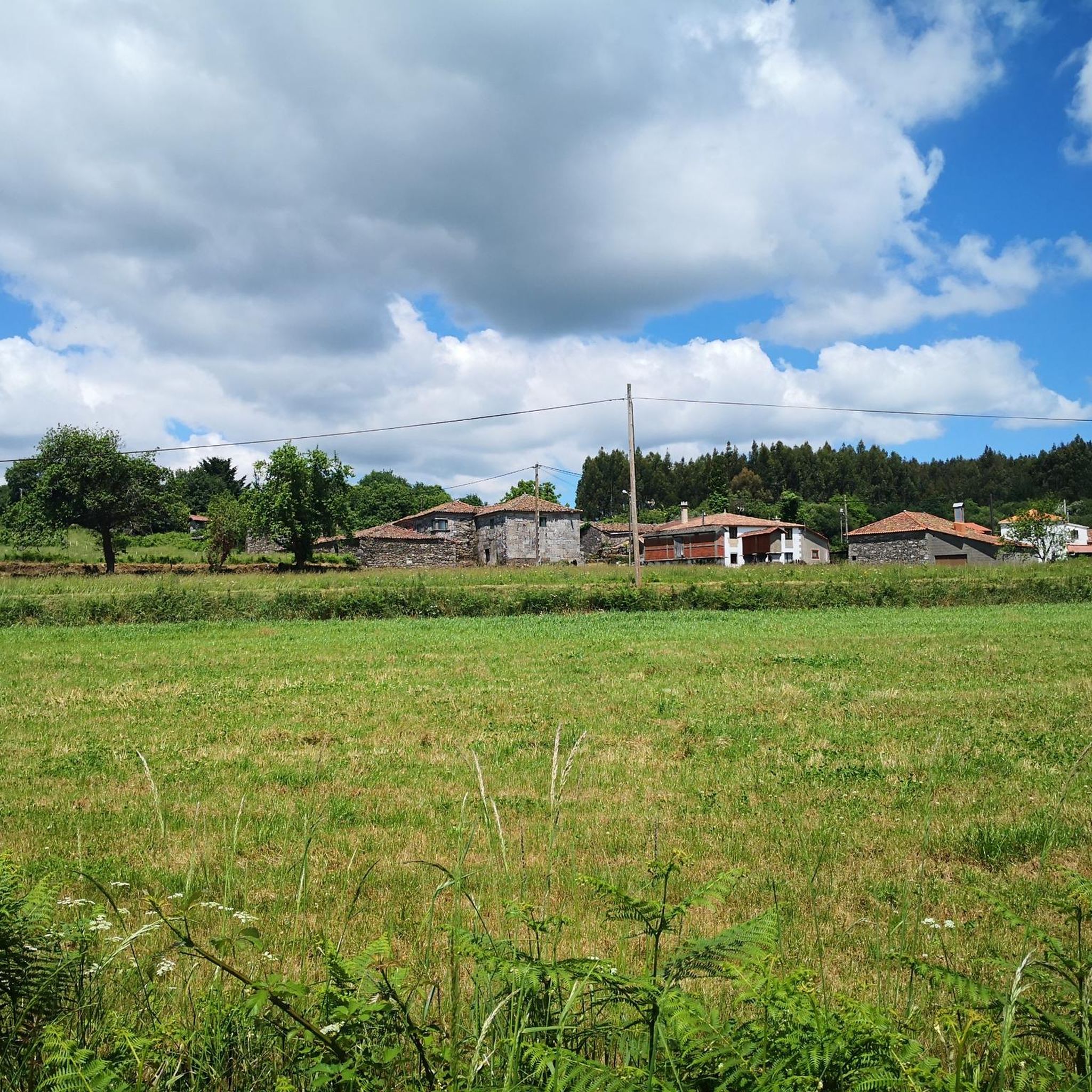
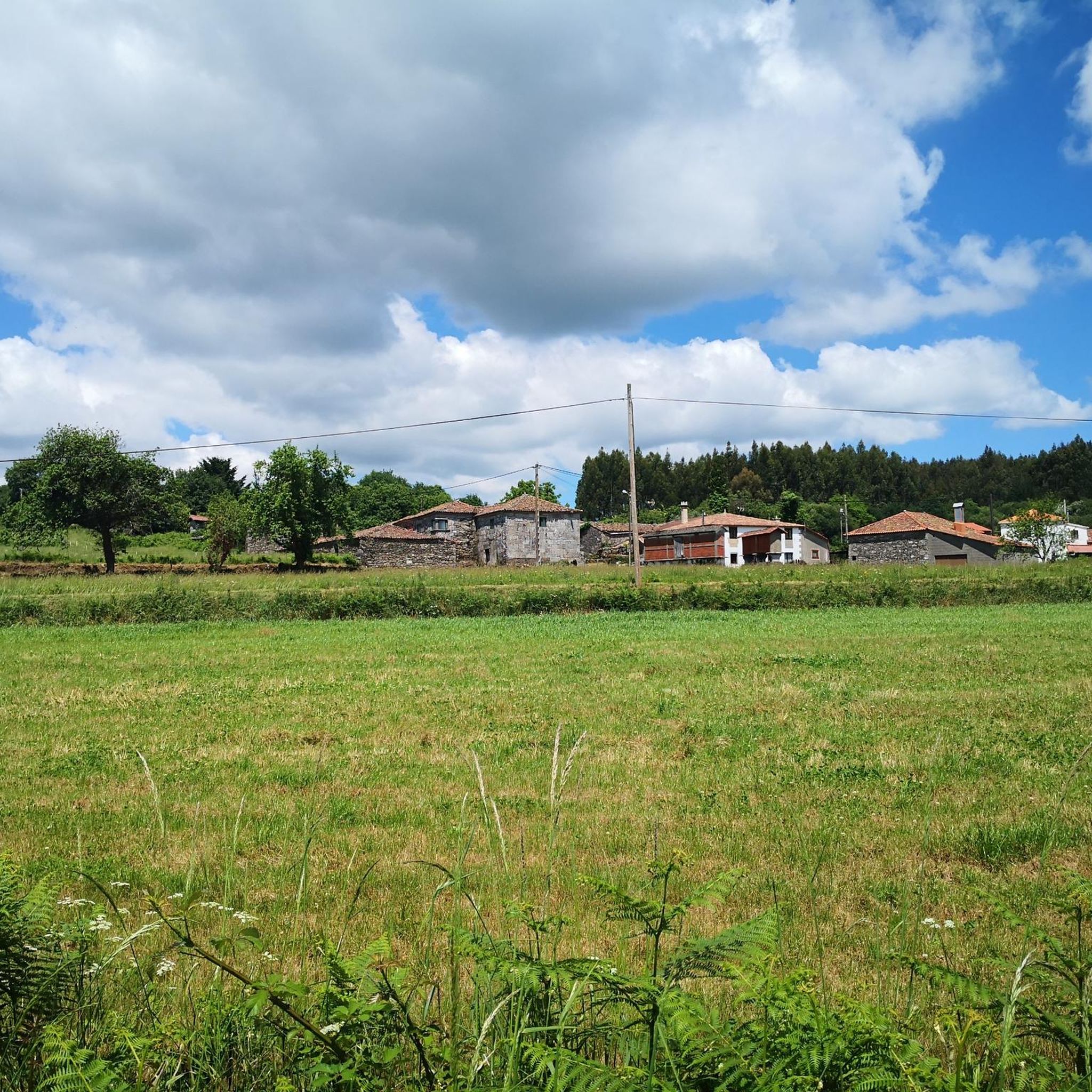
Beautiful old Galician granaries that you can see here in all shapes and sizes.
2
1

The trees in the picture are giant eucalyptus trees (Eucalyptus regnans). The giant eucalyptus is the tallest deciduous tree in the world and, in favorable locations, can reach heights of up to 65 meters in 50 years. The trees were brought to Europe from Australia by a Galician missionary in the 19th century and have adapted well to the climate in Galicia.
1
1
Romanesque church dating from the last third of the 12th century with later alterations. Only the main entrance and part of the façade remain of the original design. It has a Latin cross plan with a rectangular nave, two side chapels, and a pentagonal presbytery. The walls are made of masonry and granite ashlars, and the roof is covered with two- and four-sided tiles. The entrance is Romanesque and features a rounded arch with two archivolts, coved arches, an outer band of truncated spires, and decorated capitals. The tympanum is plain on quoins. The altarpiece in the main chapel is neoclassical.
1
1

O Leboreiro, capital of the parish of Santa María do Castelo in north-western Spain, is located along the French Way of the pilgrimage to Santiago de Compostela.
4
0

Frequently Asked Questions
What kind of landscapes can I expect to see while hiking in Antas De Ulla?
Antas De Ulla, located in the Comarca da Ulloa, offers a rich variety of natural landscapes. You'll encounter a blend of mountains, rivers, and dense woodlands. The region is characterized by extensive green areas, lush riverside environments along the Ulla River, and hills like Monte Santiaguiño, which provide panoramic views.
Are there any easy hiking trails suitable for beginners or casual walkers?
Yes, Antas De Ulla offers several easy hiking options. For instance, the Eucalyptus Forest – Church of Saint James in Lestedo loop from Palas de Rei is an easy 4.6-mile (7.4 km) trail that can be completed in about 2 hours. Overall, there are 5 easy routes available in the area.
What are some notable natural features or landmarks I can discover on the trails?
The region is rich in natural and historical attractions. Along the Ulla River, you can find the scenic O Xirimbao suspension bridge and ancient Roman pesqueiras. Picturesque waterfalls, such as the Cascada de Ramil on the Pontillón River, are nestled within leafy riverside forests. Historically, you might encounter the medieval Roman Bridge of Furelos and traditional Galician hórreos (granaries).
Are there any circular hiking routes in Antas De Ulla?
Yes, many of the hiking routes in Antas De Ulla are circular, allowing you to start and end at the same point. Examples include the Roman Bridge of Furelos – Pilgrim Statue in O Coto loop from O Leboreiro, a 14.2-mile (22.9 km) trail, and the Church of Saint James in Lestedo – Os Chacotes Recreation Area loop from Palas de Rei, which is 10.8 miles (17.4 km).
What do other hikers say about the trails in Antas De Ulla?
The hiking routes in Antas De Ulla are highly regarded by the komoot community, holding an average rating of 4.75 stars from over 280 reviews. Hikers often praise the diverse scenery, from lush riverside paths to panoramic viewpoints, and the integration of historical and cultural elements along the trails.
Can I bring my dog on the hiking trails in Antas De Ulla?
Generally, many trails in natural areas of Galicia are dog-friendly, but it's always advisable to keep your dog on a leash, especially in areas with livestock or wildlife. Specific regulations can vary, so check local signage at trailheads. The varied terrain and open spaces make it a pleasant region for hiking with a well-behaved dog.
Are there any trails suitable for families with children?
Yes, Antas De Ulla offers trails that are suitable for families. Look for the 'easy' rated routes, which are typically shorter and have less elevation gain. The region's riverside areas, like Ínsuas de Gres and Sucira with their oak groves and river beaches, are particularly pleasant for a family day out in nature.
What is the best time of year to go hiking in Antas De Ulla?
The best time for hiking in Antas De Ulla is generally during the spring (April to June) and autumn (September to October) months. During these periods, the weather is typically mild and pleasant, with lush greenery in spring and vibrant colors in autumn. Summer can also be good, but it can get warmer, especially in July and August.
Are there any historical or cultural sites along the hiking routes?
Absolutely. Many trails in Antas De Ulla incorporate elements of local history and culture. You might encounter architectural gems like the medieval Roman Bridge of Furelos, which is part of the French Way of St. James. The San Tirso Church, Palas de Rei and the Church of Saint Mary of Leboreiro are also points of interest along some routes, connecting hikers to the historic Camino de Santiago.
How many hiking trails are available in Antas De Ulla?
There are over 20 hiking trails documented in Antas De Ulla, catering to various skill levels. This includes 5 easy routes, 11 moderate routes, and 4 difficult routes, ensuring options for everyone from casual walkers to experienced hikers.
Is parking available at the trailheads in Antas De Ulla?
While specific parking information for every trailhead isn't always detailed, many rural hiking areas in Galicia typically offer informal parking spaces near popular starting points or villages. It's advisable to check the route details on komoot for specific parking recommendations or look for designated areas in nearby towns like O Leboreiro or Palas de Rei.
Are there any challenging hikes for experienced trekkers?
Yes, for experienced trekkers, Antas De Ulla offers several challenging routes. An example is the Church of Saint James in Lestedo – Os Chacotes Recreation Area loop from Sestelo, a difficult 16.9-mile (27.2 km) path that explores local religious sites and natural recreation areas. There are 4 difficult routes in total.
Most popular attractions around Antas De Ulla

Get inspired with the komoot mobile app


Explore more
Browse the best Hikes in other regions.
