The best running trails around Aberin
4.2
(9)
933
runners
113
runs
Jogging around Aberin offers a variety of routes, many of which feature significant elevation changes, indicating a hilly or mountainous landscape. The region's running trails often pass through areas with historical landmarks and local towns, providing diverse scenery for runners. These routes cater to different fitness levels, from moderate paths to more challenging ascents. The terrain includes both natural paths and sections near developed areas, allowing for varied running experiences.
Best jogging routes around Aberin
- The most popular jogging route…
Last updated: October 15, 2026
80
runners
21.6km
03:26
1,020m
1,020m
Hard run. Very good fitness required. Sure-footedness, sturdy shoes and alpine experience required.
22
runners
8.83km
00:57
80m
80m
Moderate run. Good fitness required. Mostly paved surfaces.

8
runners
8.49km
01:08
260m
260m
Moderate run. Good fitness required. Mostly paved surfaces.
5.0
(1)
5
runners
6.27km
00:40
80m
80m
Moderate run. Good fitness required. Mostly paved surfaces.
9
runners
5.08km
01:02
420m
420m
Hard run. Very good fitness required. Sure-footedness, sturdy shoes and alpine experience required.
Get access to more routes and recommendations from other explorers.
Already have an account?
Our route recommendations are based on thousands of hikes, rides, and runs completed by other people on komoot.
Start today with a free account
Your next adventure awaits.

Tips from the Community

A fountain in what looks like an old variant of the Camino de Santiago
0
0

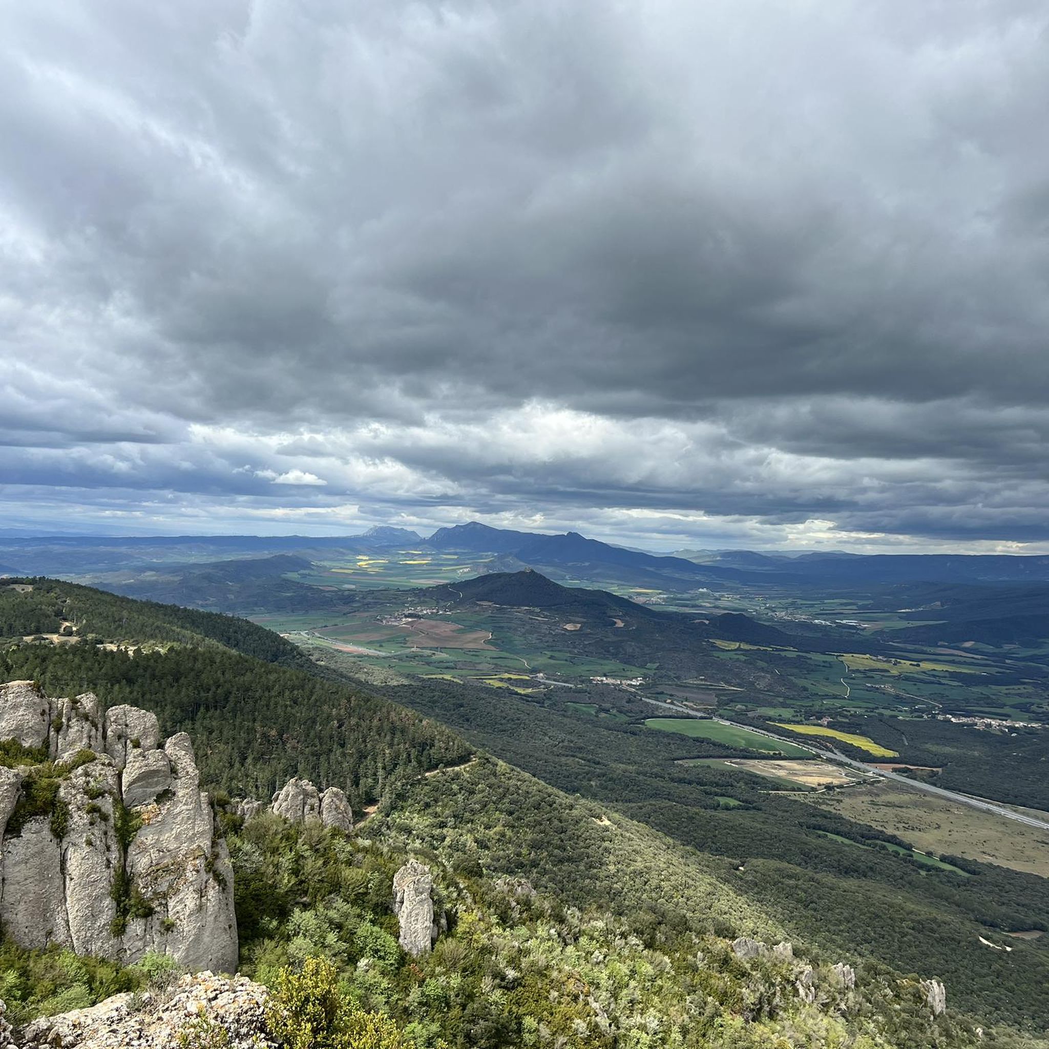
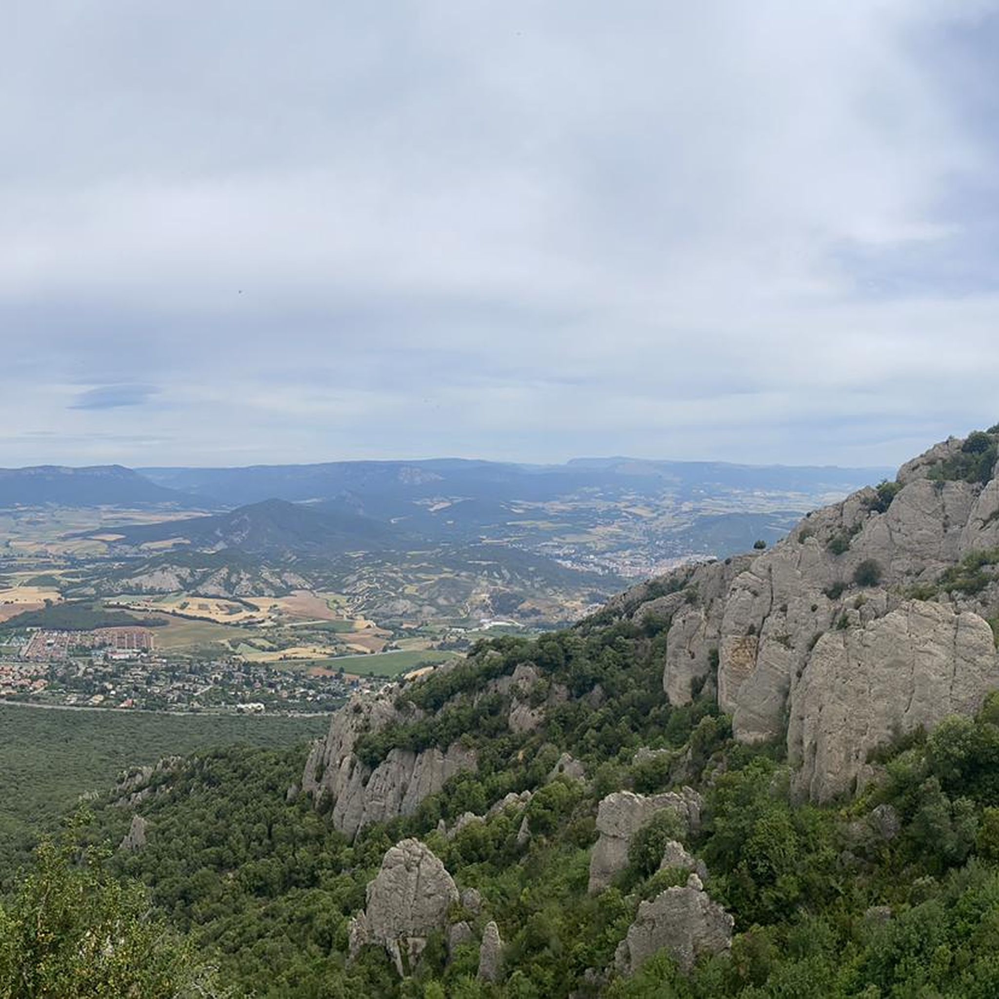
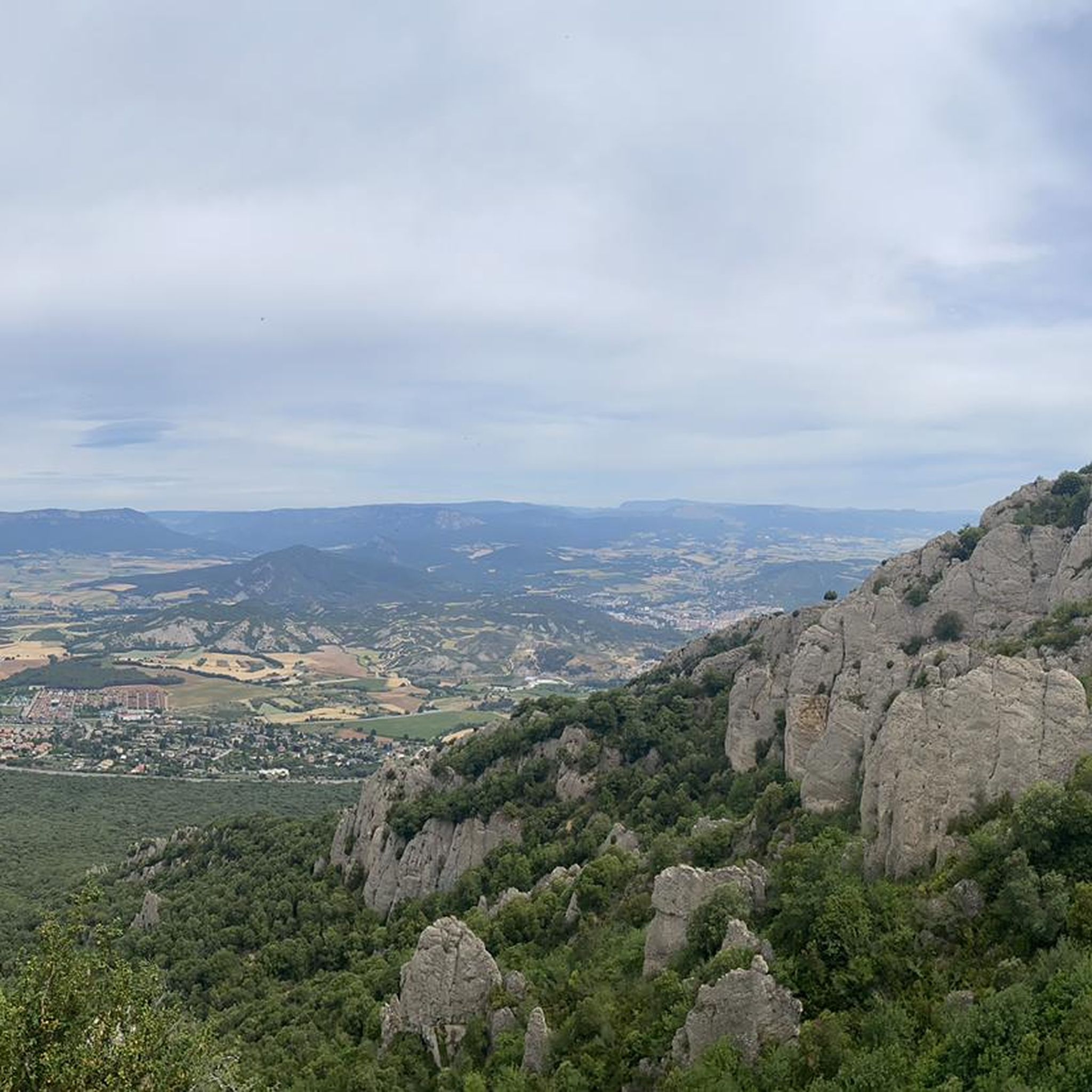
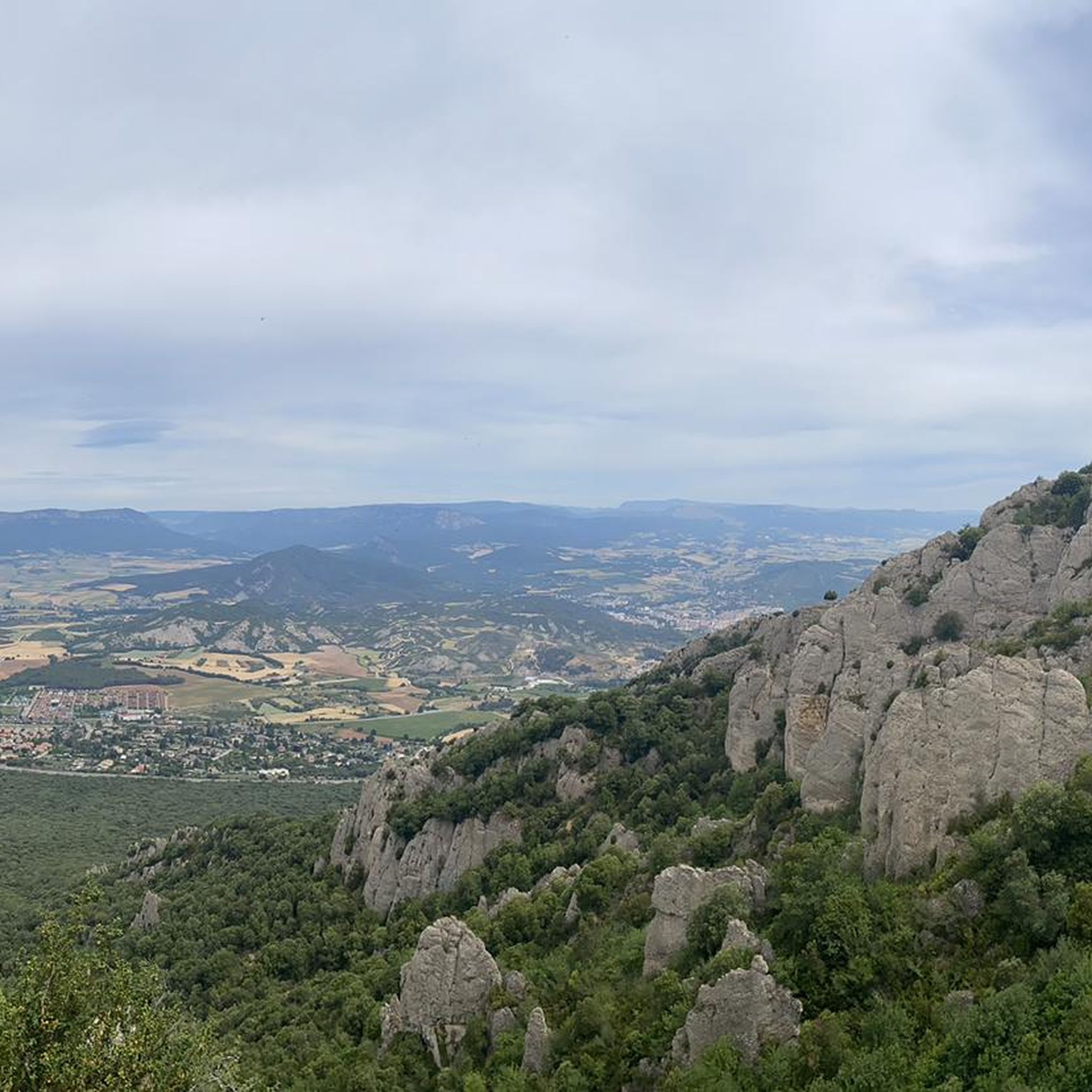
It is without a doubt the top to visit if you are walking through the Iratxe area. With an altitude of 1045 meters above sea level. the views are impressive and you can enjoy a beautiful landscape. It is next to the San Cipriano and towards the opposite side is the geodesic vertex of the same name. A place worth visiting!
1
0

This is one of those peaks where you like to be, to which you like to reach, very cool
1
1
Vertex located next to the antennae. A perfect place for a sandwich, especially if you continue 100 meters towards "Los Cañones", to the meadow below.
1
0
Nice hermitage prior to the top of San Cipriano.
1
0

A great mountain full of possibilities for the practice of MTB, trail and hiking
0
0

A must for mountain bikers with a good 1000m! There is also a wonderful view!
0
0

Montejurra is at 1040m, the highest mountain in the area and offers a fantastic view of the valley.
0
0
Frequently Asked Questions
How many running trails are available in Aberin?
Aberin offers a wide selection of over 100 running trails, catering to various preferences and fitness levels. You'll find everything from moderate paths to challenging mountain ascents.
What kind of terrain can I expect when jogging in Aberin?
Jogging in Aberin is characterized by its hilly and often mountainous landscape, featuring significant elevation changes. Routes frequently pass through areas with historical landmarks and local towns, offering diverse scenery that includes both natural paths and sections near developed areas.
Are there any easy running routes for beginners in Aberin?
Yes, Aberin has a few routes suitable for beginners or those seeking a less strenuous run. While many trails involve significant climbs, there are at least 3 easy routes available. For a moderate option, consider the Estella-Lizarra – Drinking Water Fountain loop from Villatuerta, which is 5.2 miles long with a manageable elevation gain.
What do other runners enjoy about the trails in Aberin?
The running trails in Aberin are highly rated by the komoot community, with an average score of 4.0 stars from over 10 reviews. More than 800 runners have explored Aberin's varied terrain, often praising the challenging climbs and the scenic diversity that includes historical sites and local towns.
Are there any circular running routes in Aberin?
Many of the running routes in Aberin are designed as loops, providing convenient circular options. An example is the Iglesia de San Pedro de la Rúa – Drinking Water Fountain loop from Ayegui / Aiegi, a moderate 5.5-mile trail that takes you past interesting sights.
What are some scenic spots or landmarks I can see while running in Aberin?
Aberin's routes often pass by historical sites and offer scenic views. You might encounter landmarks like the Iglesia de San Pedro de la Rúa, the historic town of Estella-Lizarra, or the unique Wine Fountain — Bodegas Irache. For those seeking mountain views, trails can lead to peaks like Montejurra.
Are there any challenging running routes for experienced runners?
Absolutely. Aberin is known for its challenging terrain, with 34 difficult routes available. A prime example is the Montejurra – Montejurra Summit loop from Morentin, a demanding 13.6-mile trail with over 3,380 feet of elevation gain, leading to the Montejurra Summit.
Can I find routes that pass by water sources or fountains?
Yes, some routes in Aberin are known to pass by water sources. The Estella-Lizarra – Drinking Water Fountain loop from Villatuerta is one such trail that leads past a drinking water fountain, which can be convenient during your run.
Are there any routes that explore historical sites or old forts?
Yes, Aberin's landscape is dotted with historical points of interest. You can find routes that take you past sites like the Fuerte de San Juan loop from Villatuerta, offering a blend of exercise and historical exploration.
What is the best time of year for running in Aberin?
Given the hilly and sometimes mountainous terrain, spring and autumn generally offer the most pleasant conditions for running in Aberin, with milder temperatures. Summer can be warm, and winter might present colder conditions, especially at higher elevations. Always check local weather forecasts before heading out.
Are there any routes that connect local towns or villages?
Many running paths in Aberin are designed to connect local towns and villages, allowing you to experience the region's community life as you run. These routes often provide a mix of natural landscapes and glimpses into local architecture and culture.
Most popular attractions around Aberin

Get inspired with the komoot mobile app


Explore more
Browse the best Running Trails & Routes in other regions.
