The best MTB trails around Aguilar De Codés
4.8
(22)
675
riders
39
rides
Mountain biking around Aguilar De Codés offers a diverse landscape for riders. The region is characterized by significant elevation changes, including the 1,414-meter Joar Summit, and features a mix of open terrain and forested sections. Riders can expect routes that traverse valleys, ascend hills, and utilize historical paths like old railway lines. The area provides a variety of trails suitable for different skill levels, from moderate to difficult.
Best mountain bike trails around Aguilar De Codés
- The most popular mountain bike trail is Santa Cruz de Campezo – Bitigarra loop from Santa Cruz de Campezo / Santikurutze Kanpezu, a 37.7 miles (60.7 km) trail that takes about 6 hours 15 minutes to complete. This challenging route features substantial elevation gain through varied terrain.
- Another top favourite among local mountain bikers is Joar Summit (1,414 m) – Ibernalo Hermitage loop from Santa Cruz de Campezo / Santikurutze Kanpezu, a difficult 19.6 miles (31.6 km) path. This route ascends to the Joar Summit, offering expansive views before descending past the Ibernalo Hermitage.
- Local mountain bikers also love the Atauri Tunnel – Vasco-Navarro Railway Bridge loop from Santa Cruz de Campezo / Santikurutze Kanpezu, a 22.1 miles (35.6 km) trail leading through historical railway features, often completed in about 3 hours 6 minutes.
- Mountain biking around Aguilar De Codés is defined by challenging summit ascents, historical railway paths, and forested sections. The network offers options for moderate and difficult ability levels.
- The routes in Aguilar De Codés are highly rated by the komoot community with an average score of 4.8 stars from more than 20 reviews. More than 600 mountain bikers have used komoot to explore Aguilar De Codés's varied terrain.
Last updated: July 3, 2026
5.0
(1)
112
riders
Hard mountain bike ride. Very good fitness required. Advanced riding skills necessary.
5.0
(1)
48
riders
Hard mountain bike ride. Very good fitness required. Advanced riding skills necessary. Some portions of the route may require you to push your bike.

Sign up for free
15
riders
Moderate mountain bike ride. Good fitness required. Suitable for all skill levels.
17
riders
Hard mountain bike ride. Very good fitness required. Advanced riding skills necessary. Some portions of the route may require you to push your bike.
10
riders
Hard mountain bike ride. Very good fitness required. Advanced riding skills necessary. Some portions of the route may require you to push your bike.
Get access to more routes and recommendations from other explorers.
Sign up for free
Already have an account?
Our route recommendations are based on thousands of hikes, rides, and runs completed by other people on komoot.
Start today with a free account
Your next adventure awaits.
Login or Signup
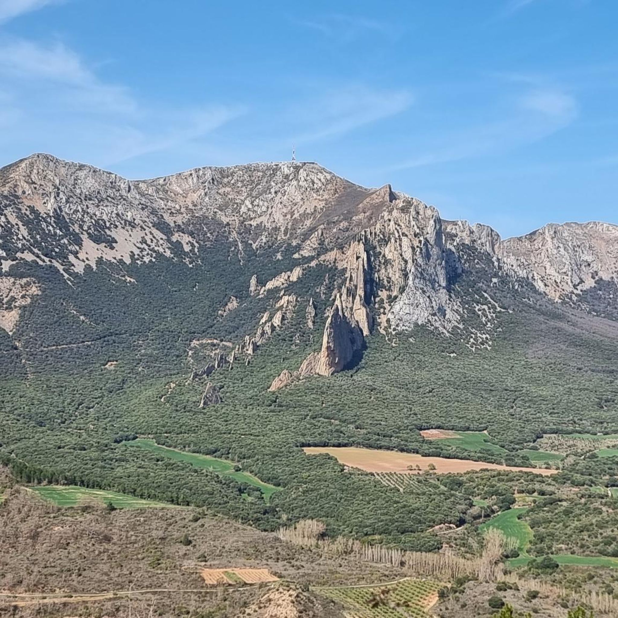
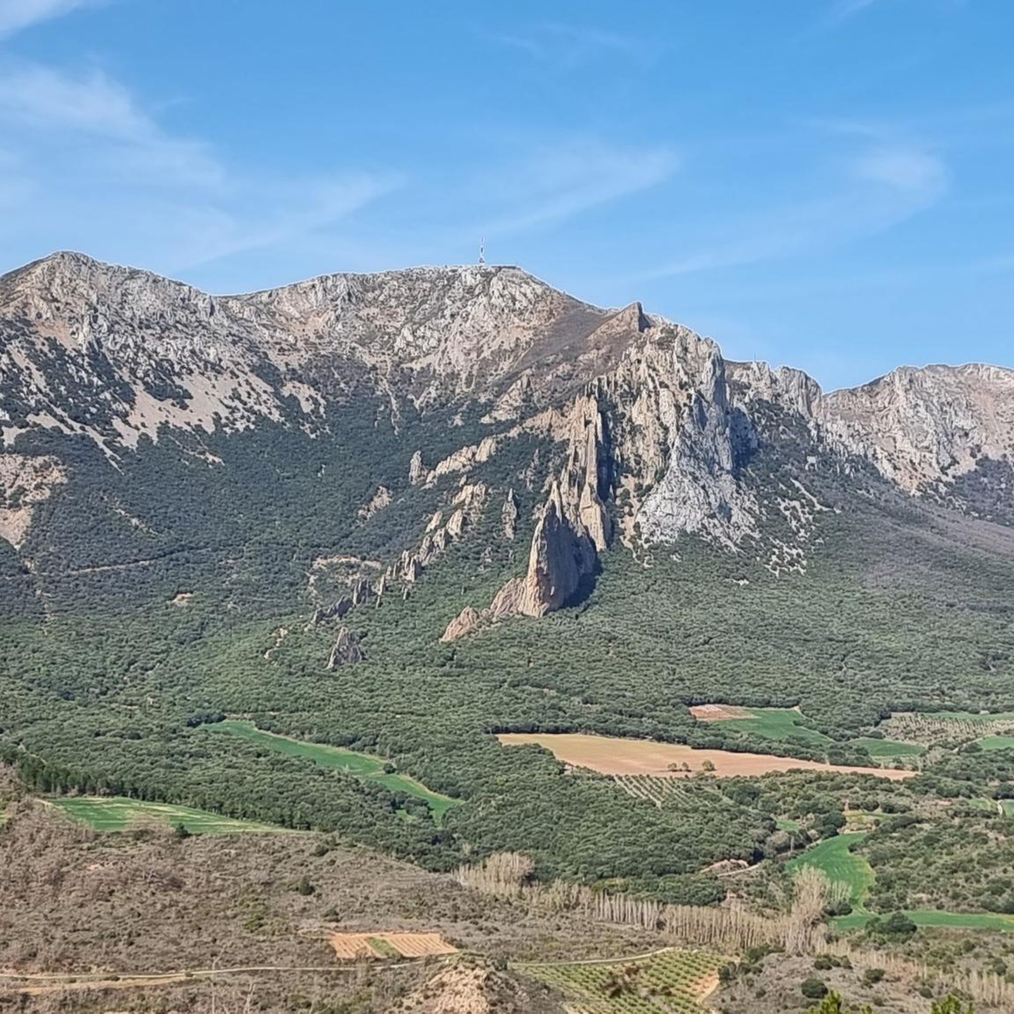
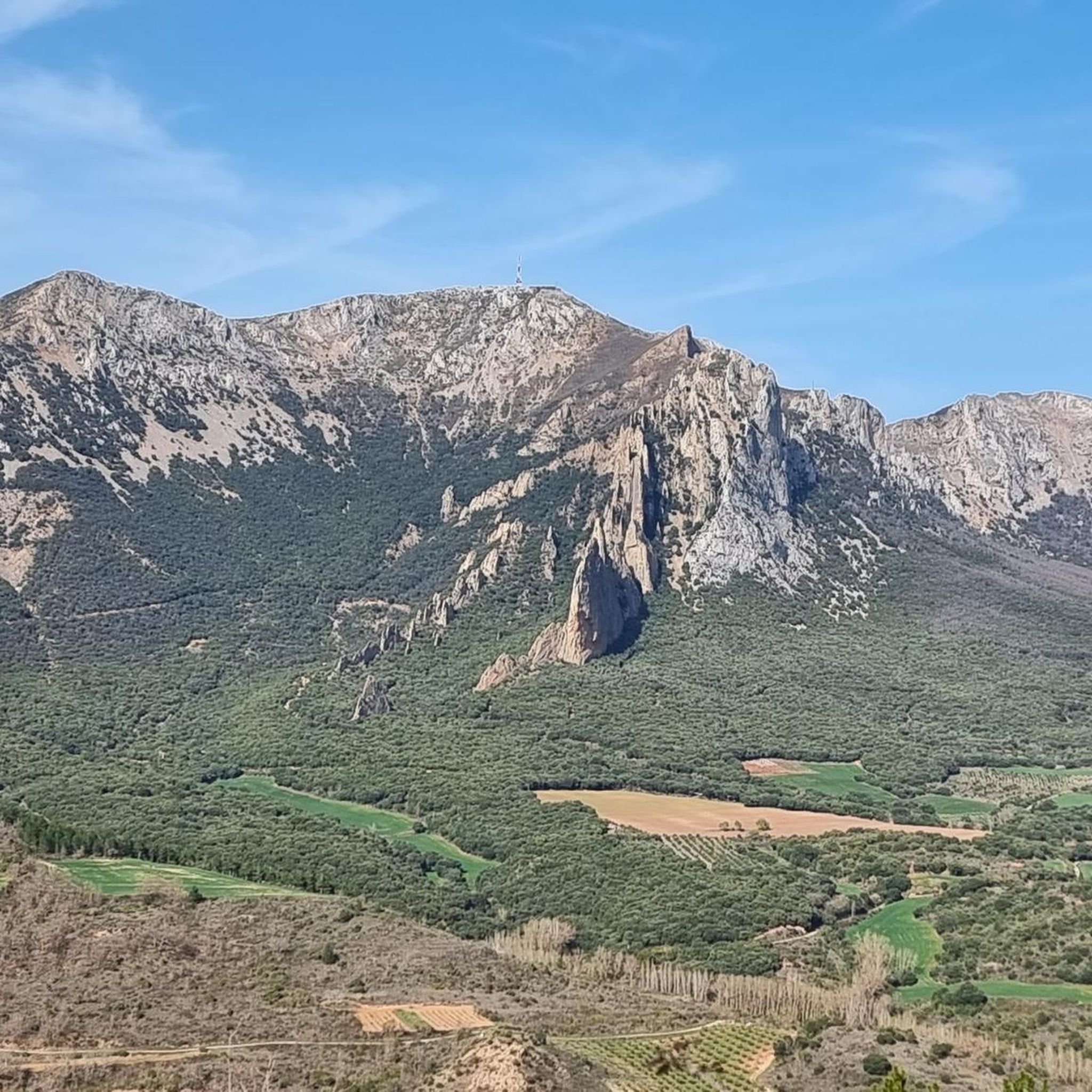
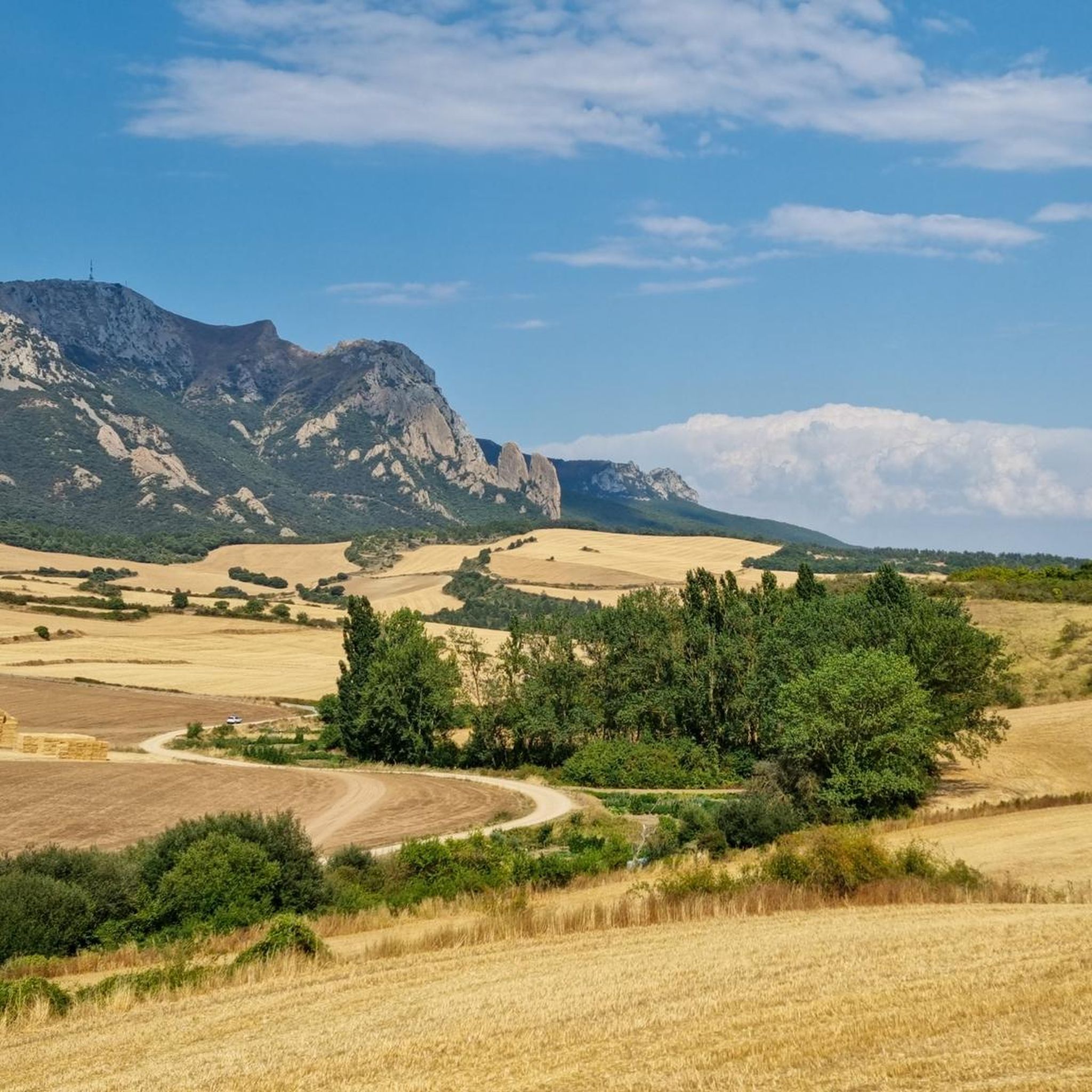

Tips from the Community

Santa Cruz de Campezo, or Santikurutze Kanpezu, is a beautiful village in the Álava Mountains, situated beside the Ega River. With its historic stone center and the Church of the Assumption as a highlight, it combines history and nature in a peaceful setting. It offers all basic amenities and is a good starting point for exploring the nearby valleys and mountains.
1
0

Hermitage with views and a large bar-restaurant
0
0

A very pleasant walk through the beech forest to get here.
1
0
Beautiful hermitage near Bitigarra.
1
0

Simple route for all audiences
0
0
Basque-Navarrese Footbridge, a highly recommended route. Suitable for everyone.
1
0

Shelter in a magnificent location. It's not in bad condition, but it needs some improvements to make it an excellent shelter.
0
0
Frequently Asked Questions
What is the overall difficulty level of mountain bike trails around Aguilar De Codés?
Mountain biking in Aguilar De Codés is generally geared towards more experienced riders. There are no easy trails listed; instead, you'll find 40 moderate and 14 difficult routes. These trails often feature significant elevation changes, including ascents to peaks like the Joar Summit.
Are there any family-friendly mountain bike routes in Aguilar De Codés?
Given that there are no easy mountain bike trails in Aguilar De Codés, routes are generally more suited for families with older children or those with prior mountain biking experience. The 40 moderate trails might offer suitable options for active families looking for a challenge.
What kind of terrain can I expect on mountain bike trails in Aguilar De Codés?
The terrain around Aguilar De Codés is diverse, characterized by significant elevation changes. You'll encounter a mix of open sections, forested areas, and routes that traverse valleys and ascend hills. Some trails also utilize historical paths, such as old railway lines, offering a unique riding experience.
How long are the mountain bike trails in Aguilar De Codés?
The mountain bike trails in Aguilar De Codés vary significantly in length. For example, the Santa Cruz de Campezo – Joar Summit (1,414 m) loop is about 10.6 miles (17.1 km), while the challenging Santa Cruz de Campezo – Bitigarra loop extends to 37.7 miles (60.7 km).
Are there mountain bike trails that include viewpoints or scenic spots?
Yes, many trails offer expansive views, especially those that ascend to higher elevations. The Joar Summit (1,414 m) – Ibernalo Hermitage loop, for instance, ascends to the Joar Summit, providing panoramic vistas. You can also find highlights like the View of Sansol in the wider region.
What is the best time of year to go mountain biking in Aguilar De Codés?
Spring and autumn are generally the most favorable seasons for mountain biking in Aguilar De Codés, offering pleasant temperatures and vibrant landscapes. Summers can be hot, especially at lower elevations, while winters may bring colder conditions and potential snow at higher altitudes, particularly around the Joar Summit.
Are there any circular mountain bike routes in Aguilar De Codés?
Yes, many of the mountain bike routes in Aguilar De Codés are designed as loops. Examples include the Atauri Tunnel – Vasco-Navarro Railway Bridge loop and the Santa Cruz de Campezo – Ibernalo Hermitage loop, allowing you to start and finish in the same location.
What do other mountain bikers say about the trails in Aguilar De Codés?
The mountain bike trails in Aguilar De Codés are highly regarded by the komoot community, with an average rating of 4.8 stars from over 20 reviews. Riders often praise the challenging ascents, the diverse landscapes, and the unique experience of riding along historical railway paths.
Are there any historical or cultural attractions along the mountain bike routes?
Yes, some routes incorporate historical features. For example, the Atauri Tunnel – Vasco-Navarro Railway Bridge loop takes you through historical railway infrastructure. Additionally, nearby attractions include the Arquijas Tunnel and the charming Lapoblación Village.
How many mountain bike trails are available in Aguilar De Codés?
There are over 50 mountain bike trails available around Aguilar De Codés, offering a wide range of options for riders looking for moderate to difficult challenges.
Where do mountain bike trails typically start in Aguilar De Codés?
Many of the mountain bike routes in the region, including popular ones, start from towns like Santa Cruz de Campezo / Santikurutze Kanpezu. These starting points often provide access to amenities and are convenient for parking.
Most popular routes around Aguilar De Codés
Most popular attractions around Aguilar De Codés

Get inspired with the komoot mobile app


Explore more
Browse the best MTB trails in other regions.
