The best running trails around Rudawski Park Krajobrazowy
4.8
(52)
2,356
runners
74
runs
Jogging around Rudawski Park Krajobrazowy offers a diverse landscape for runners. The region is characterized by its varied terrain, including forested hills, distinctive rock formations, and historic castle ruins. Runners can explore paths that wind through dense woodlands and open areas, providing a mix of challenges and scenic views. The area's natural features make it suitable for various running experiences, from gentle forest paths to more demanding ascents.
Best jogging routes around Rudawski Park Krajobrazowy
- The most popular jogging route is Starościńskie Rocks – Bolczów Castle Ruins loop from Karpniki, a 11.3 miles (18.2 km) trail that takes 2 hours 17 minutes to complete. This route features notable rock formations and historical castle ruins.
- Another top favourite among local runners is Szwajcarka Mountain Hut – Bolczów Castle Ruins loop from Trzcińsko, a difficult 27.6 miles (44.5 km) path. This trail offers extensive views and passes by a mountain hut and castle ruins.
- Local runners also love the Great Sokolik (Forstberg) – Szwajcarka Mountain Hut loop from Karpniki, a 6.7 miles (10.8 km) trail leading through forested hills and past a mountain hut, often completed in about 1 hour 24 minutes.
- Jogging around Rudawski Park Krajobrazowy is defined by forested hills, unique rock formations, and historic sites. The network offers options for different ability levels, from moderate forest runs to more challenging routes with significant elevation gain.
- The routes in Rudawski Park Krajobrazowy are highly rated by the komoot community with an average score of 4.8 stars from over 40 reviews. More than 1000 runners have used komoot to explore Rudawski Park Krajobrazowy's varied terrain.
Last updated: July 15, 2026
5.0
(1)
161
runners
36.1km
04:37
1,350m
1,350m
Hard run. Very good fitness required. Mostly paved surfaces. Suitable for all skill levels.
5.0
(2)
125
runners
18.2km
02:16
620m
620m
Hard run. Very good fitness required. Mostly paved surfaces. Suitable for all skill levels.

Sign up for free
94
runners
45.7km
05:58
1,780m
1,780m
Hard run. Very good fitness required. Mostly paved surfaces. Suitable for all skill levels.
33
runners
10.7km
01:23
390m
380m
Hard run. Very good fitness required. Mostly paved surfaces. Suitable for all skill levels.
29
runners
17.1km
02:16
650m
650m
Hard run. Very good fitness required. Mostly paved surfaces. Suitable for all skill levels.
Get access to more routes and recommendations from other explorers.
Sign up for free
Already have an account?
Our route recommendations are based on thousands of hikes, rides, and runs completed by other people on komoot.
Start today with a free account
Your next adventure awaits.
Login or Signup
Popular around Rudawski Park Krajobrazowy
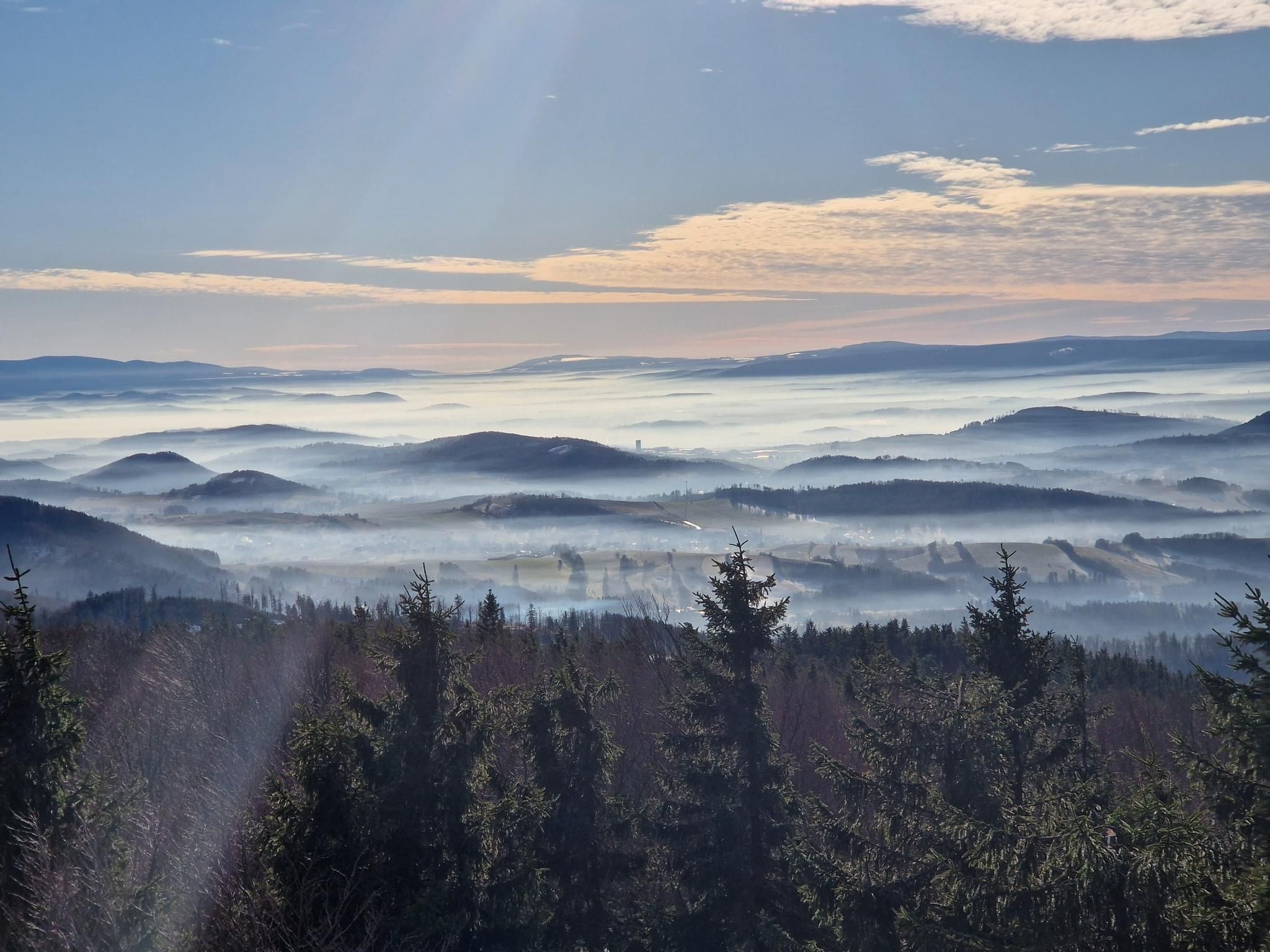
The Main Sudeten Route – a great Polish mountain adventure
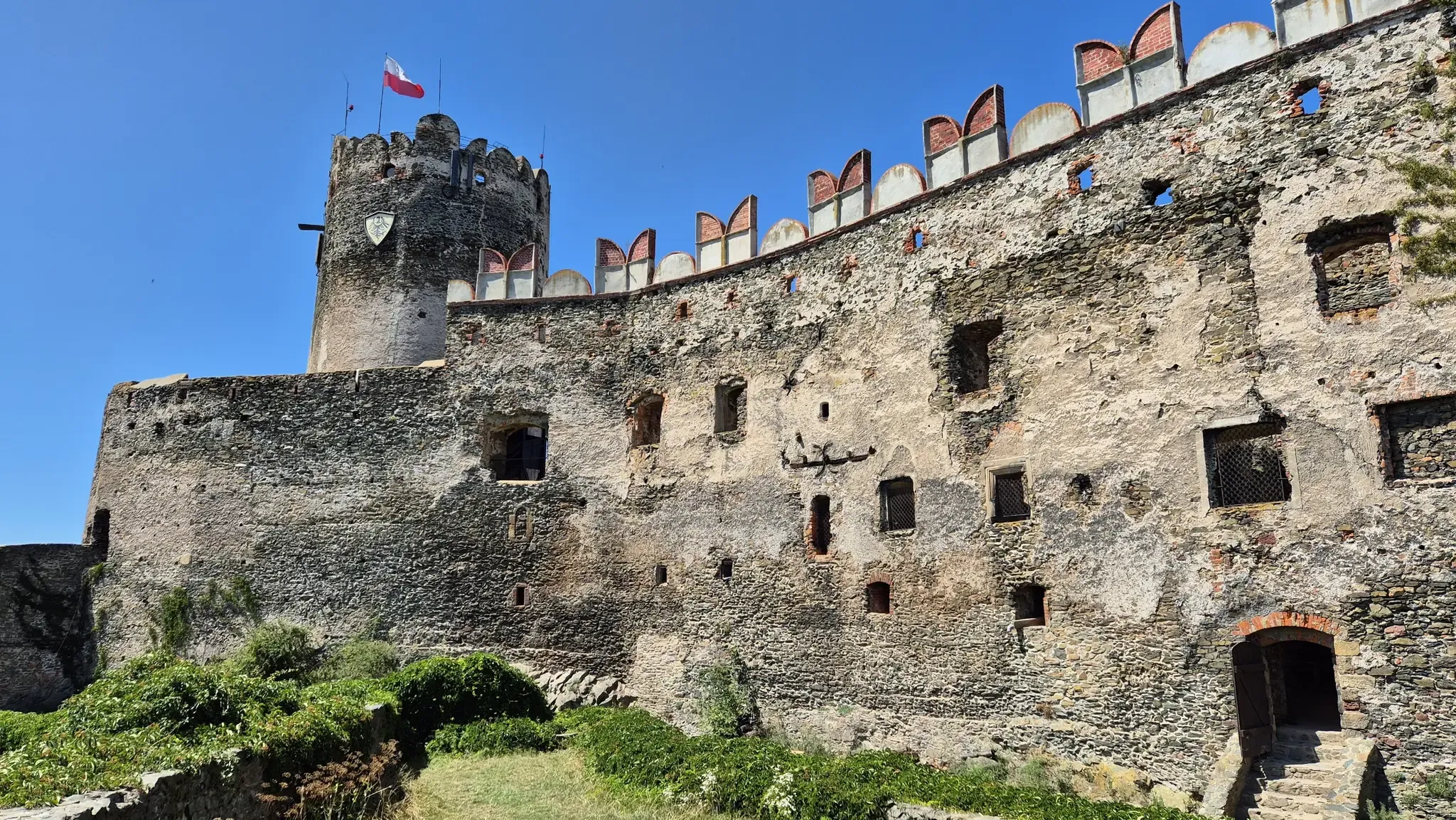
Piast Castles Trail – Great strongholds of Sudety
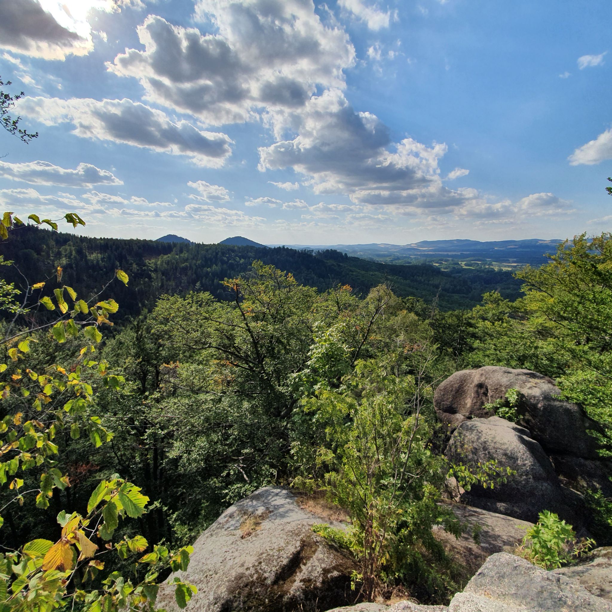
Hiking around Rudawski Park Krajobrazowy
Road Cycling Routes around Rudawski Park Krajobrazowy
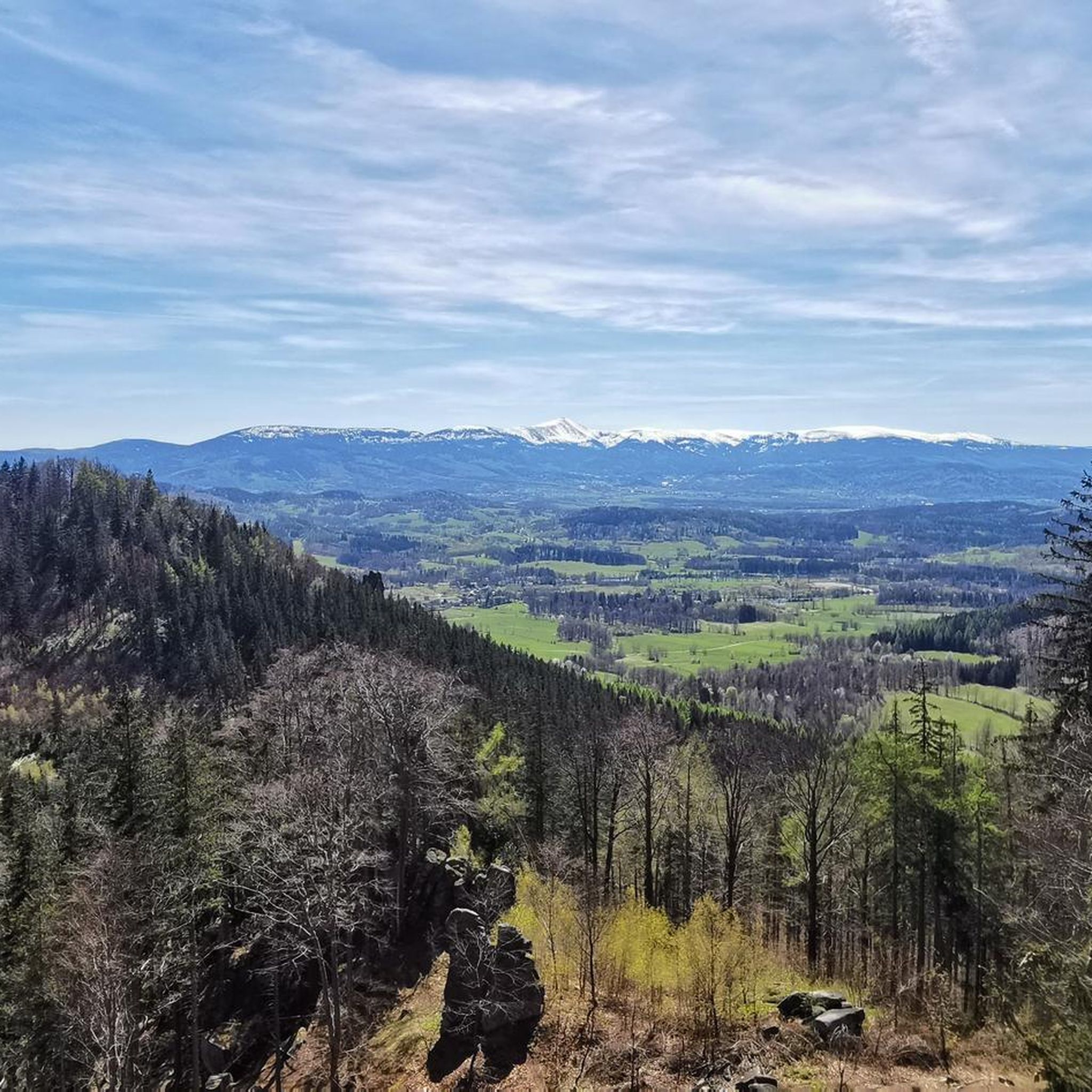
Cycling around Rudawski Park Krajobrazowy

Gravel biking around Rudawski Park Krajobrazowy

Mountain Hikes around Rudawski Park Krajobrazowy
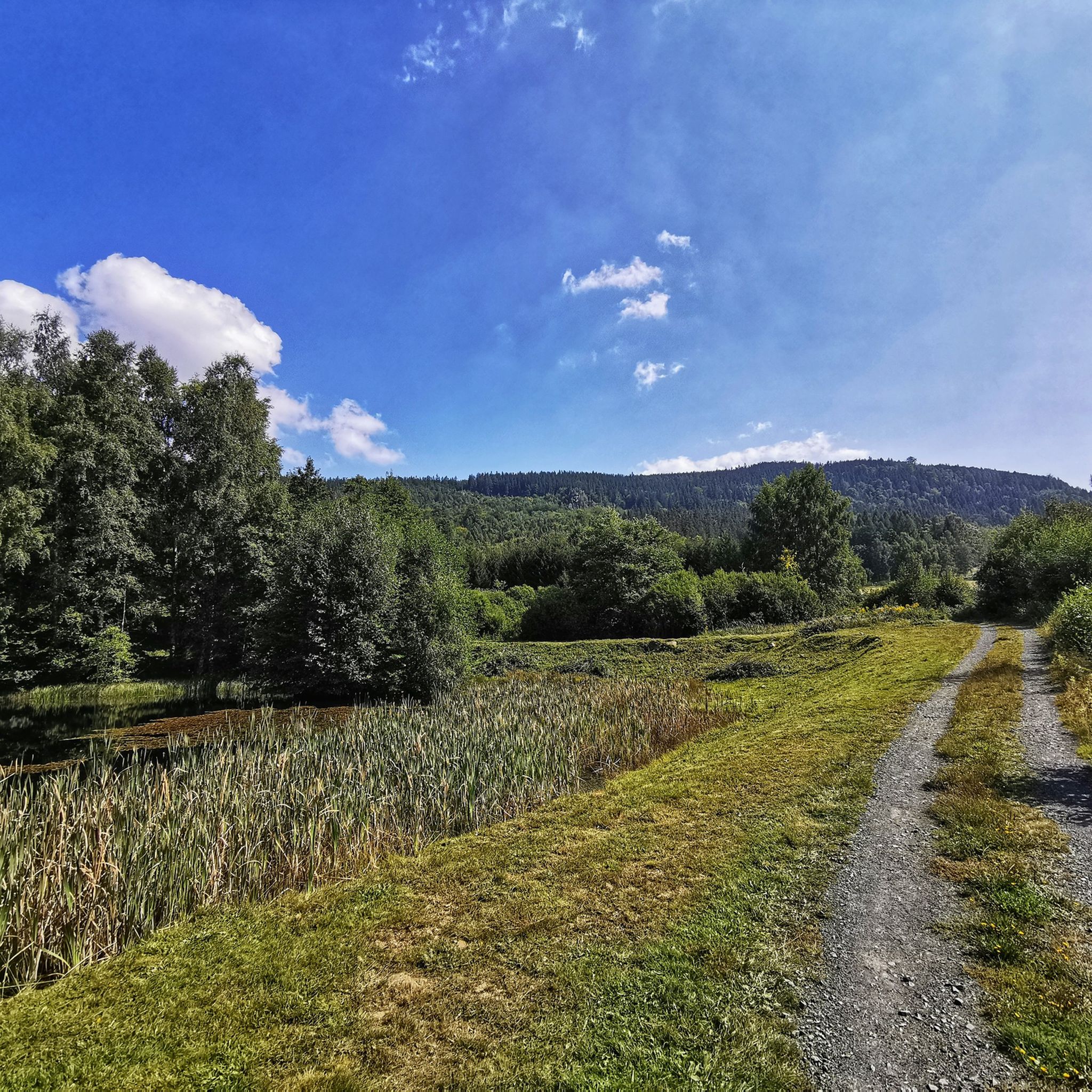
MTB Trails around Rudawski Park Krajobrazowy
Other adventures around Rudawski Park Krajobrazowy

Tips from the Community

you have to walk uphill to the blue lake
1
0
the purple lake owes its color to iron compounds dissolved in the water, as the walls and bottom of the pit in which it is located are rich in copper and iron compounds
0
0

The lake is not really purple or violet, but rather orange-brown, but still worth seeing.
1
0
Worth seeing. The lake has a great intense color.
2
0

A fantastic castle built on solid rock, a beautiful site in any season. It commands respect for those who built it in the 14th century (yes, over 600 years ago!)
0
0

Rudawy Janowickie by bike or on foot
0
0

In summer the water level in the lakes is quite low.
1
0

Absolutely incredible rock formation. Is it even real? Only at the top do the rocks connect, and beyond that everything has two colossal walls. Everything carved out naturally! Extraordinary.
0
0
Frequently Asked Questions
Are there running routes suitable for beginners in Rudawski Park Krajobrazowy?
Yes, Rudawski Park Krajobrazowy offers a few easier running routes. While many trails are moderate to difficult, there are at least 3 routes classified as easy, perfect for those new to trail running or looking for a less strenuous jog. These typically feature gentler terrain and shorter distances.
What kind of terrain can I expect on the running trails in Rudawski Park Krajobrazowy?
The running trails in Rudawski Park Krajobrazowy feature a diverse landscape. You'll encounter forested hills, distinctive rock formations, and paths winding through dense woodlands and open areas. Some routes include more demanding ascents, while others offer gentle forest paths, providing a mix of challenges and scenic views.
Are there any circular running routes in Rudawski Park Krajobrazowy?
Yes, many of the running routes in the park are circular, allowing you to start and finish at the same point. For example, the popular Starościńskie Rocks – Bolczów Castle Ruins loop from Karpniki is a great option, as is the Great Sokolik (Forstberg) – Szwajcarka Mountain Hut loop from Karpniki.
What are some notable landmarks or attractions I can see while running in the park?
Rudawski Park Krajobrazowy is rich in natural and historical landmarks. You can run past impressive rock formations like Starościńskie Rocks, or discover historical sites such as the Bolczów Castle Ruins. The Great Sokolik (Forstberg) also offers great views, and the Szwajcarka Mountain Hut is a popular point of interest.
Can I bring my dog on the running trails in Rudawski Park Krajobrazowy?
Generally, dogs are welcome on trails in Rudawski Park Krajobrazowy, but it's always best to keep them on a leash, especially in protected areas or near wildlife. Be mindful of other runners and hikers, and ensure you clean up after your pet.
Are there any mountain huts or cafes along the running routes for refreshments?
Yes, the Szwajcarka Mountain Hut is a prominent feature on several routes, such as the Szwajcarka Mountain Hut – Bolczów Castle Ruins loop from Trzcińsko. This hut provides a great spot to rest and grab refreshments during your run.
What do other runners enjoy most about jogging in Rudawski Park Krajobrazowy?
The komoot community highly rates the running experience in Rudawski Park Krajobrazowy, with an average score of 4.8 stars from over 40 reviews. Runners often praise the diverse terrain, the mix of challenging ascents and gentle forest paths, and the scenic views that include unique rock formations and historic sites.
What are the typical distances for running trails in Rudawski Park Krajobrazowy?
Running trails in Rudawski Park Krajobrazowy vary significantly in length. You can find shorter routes, like the Husyckie Skały – Schronisko PTTK Szwajcarka loop from Pałac Wojanów at around 8.3 km (5.2 miles), up to much longer and more challenging runs such as the Szwajcarka Mountain Hut – Bolczów Castle Ruins loop from Pałac Dębowy, which is about 25.9 km (16.1 miles).
When is the best time of year to go running in Rudawski Park Krajobrazowy?
The park is beautiful year-round, but spring and autumn offer particularly pleasant conditions for running with milder temperatures and vibrant foliage. Summer is also popular, though some trails might be busier. Winter running is possible, but be prepared for snow and ice, especially on higher elevations.
Are there any family-friendly running paths in Rudawski Park Krajobrazowy?
While many routes are moderate to difficult, some of the easier and shorter trails can be suitable for families looking for a gentle jog or walk. Look for routes with less elevation gain and smoother paths. Always check the route details for difficulty and distance to ensure it matches your family's fitness level.
How many running routes are available in Rudawski Park Krajobrazowy?
There are over 50 dedicated running routes available in Rudawski Park Krajobrazowy on komoot. These routes cater to various fitness levels, ranging from easy forest paths to more challenging trails with significant elevation changes.
Can I access the running routes in Rudawski Park Krajobrazowy using public transport?
Access to Rudawski Park Krajobrazowy by public transport can be limited, especially to specific trailheads. While some villages around the park may have bus connections, it's often more convenient to reach the starting points of many routes by car. Always check local transport schedules in advance.
Most popular routes around Rudawski Park Krajobrazowy
Most popular attractions around Rudawski Park Krajobrazowy

Get inspired with the komoot mobile app


Explore more
Browse the best Running Trails & Routes in other regions.
