The best cycling routes around Valverdejo
6
riders
4
rides
Touring cycling routes around Valverdejo often traverse diverse landscapes, including rolling rural areas and paths alongside significant reservoirs. The region is characterized by varied terrain, with routes that can feature both gentle gradients and more challenging ascents. Many paths connect historic towns and offer views of the natural environment, including water features like the Embalse Alarcón and Embalse de Contreras.
Best touring cycling routes around Valverdejo
- The most popular touring cycling route is Valera de Abajo from Alarcón — circular…
Last updated: June 28, 2026
Hard bike ride. Very good fitness required. Mostly paved surfaces. Suitable for all skill levels.
80.3km
05:01
860m
860m
Hard bike ride. Very good fitness required. Mostly paved surfaces. Suitable for all skill levels.

Sign up for free
56.9km
03:47
470m
470m
Hard bike ride. Very good fitness required. Mostly paved surfaces. Suitable for all skill levels.
59.3km
03:36
510m
510m
Hard bike ride. Very good fitness required. Mostly paved surfaces. Suitable for all skill levels.
67.0km
03:57
400m
400m
Moderate bike ride. Good fitness required. Mostly paved surfaces. Suitable for all skill levels.
Our route recommendations are based on thousands of hikes, rides, and runs completed by other people on komoot.
Start today with a free account
Your next adventure awaits.
Login or Signup
Popular around Valverdejo
Tips from the Community

Beautiful viewpoint of the dam, the river and the factory.
11
0
The Contreras dam (Embalse de Contreras) is a 129-meter-high arch dam built in 1972. Located on the border of the provinces of Cuenca (Castilla-La Mancha) and Valencia, the dam spans the Cabriel and Guadazaón rivers. The reservoir serves mainly for water supply, flood protection, and irrigation.
10
1


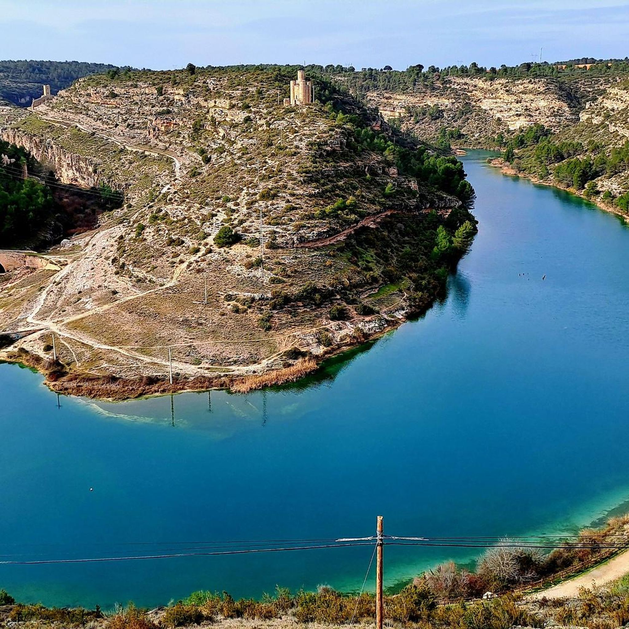
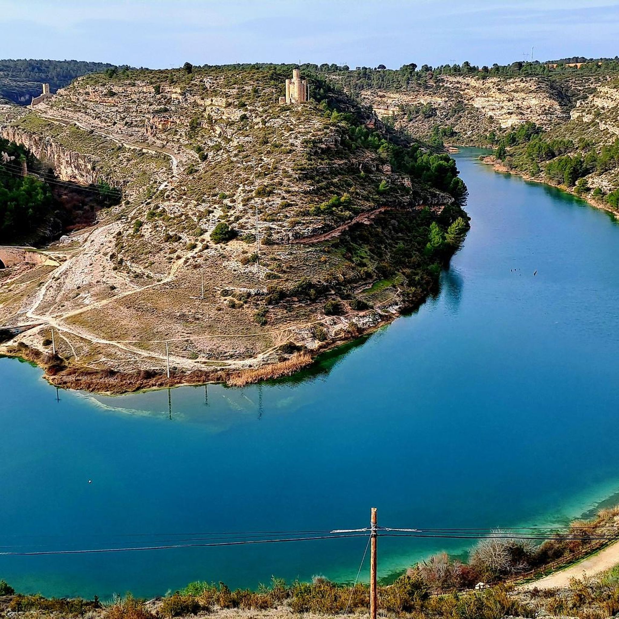
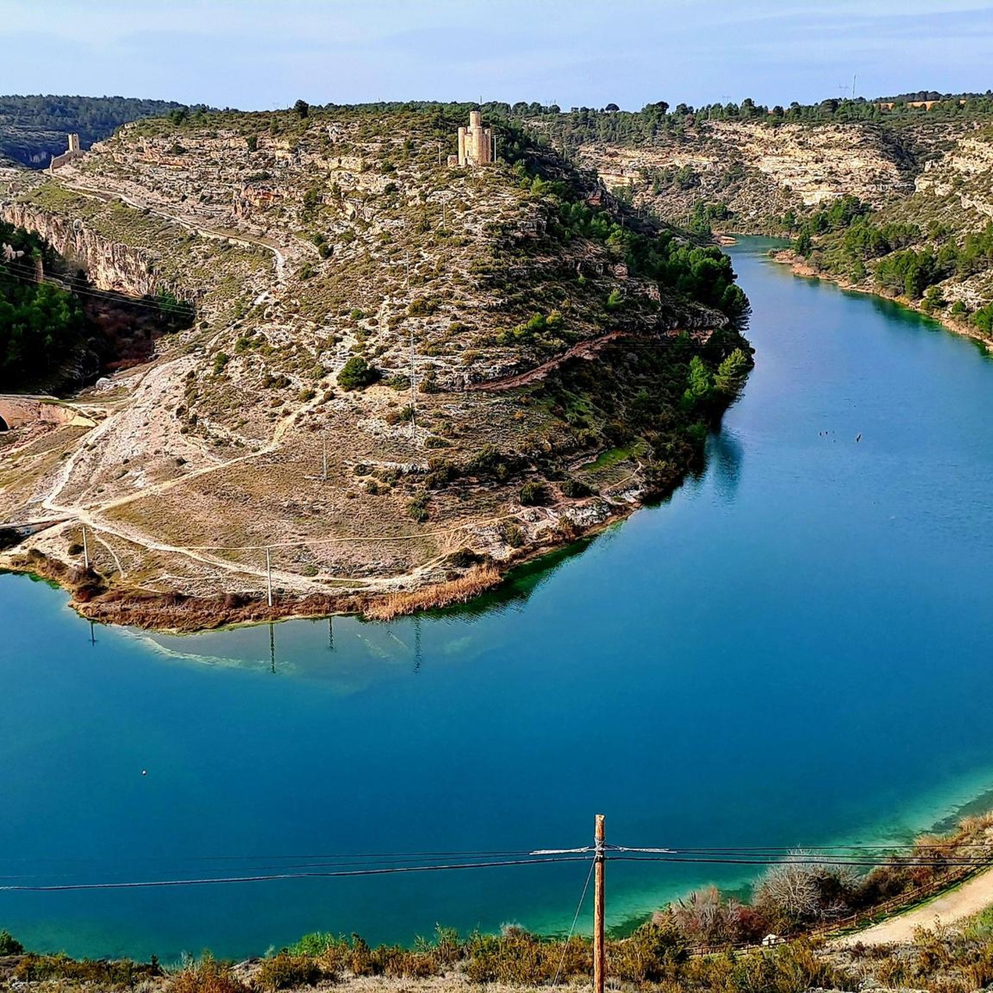
The Tower of Cañavate and the ruins that surround it are part of the medieval defensive complex of Alarcón (Cuenca), within the spectacular landscape of the Hoces del Júcar.
2
0
It is a traditional stone bridge, integrated into the landscape of the gorges. It forms part of the historic center of Alarcón, declared a Historic-Artistic Site.
2
0
The Henchidero Bridge is located near Alarcón (Cuenca), within the Hoces del Júcar natural area. It is a historic bridge that crosses the Júcar River downstream from the Alarcón Reservoir, very close to the small Henchidero Dam, which regulates the flow in this area. It is on the PR-CU71 "From Bridge to Bridge..." route, which connects the Picazo Bridge with the Henchidero Bridge, following the course of the Júcar River.
2
0
It offers a breathtaking panoramic view of the Júcar River's meander, Alarcón Castle, and the vertical canyons carved by the river. You can also see the small dam (Henchidero Dam), the Tébar Bridge, and the defensive towers that flank the gorge.
2
0
The Alarcón viewpoint overlooking the Júcar River gorges is part of the PR-CU71 trail. The viewpoint is located just before entering Alarcón from the CUV-8033 road, on a clearing next to the Torre de Armas (Tower of Arms), at the beginning of the PR-CU71 "From Bridge to Bridge..." trail. It has free parking and an information panel about the route.
3
0
Frequently Asked Questions
How many touring cycling routes are available around Valverdejo?
There are 4 touring cycling routes documented around Valverdejo on komoot. These routes offer a variety of experiences, from moderate to difficult, often traversing rural landscapes and reservoir shores.
What is the general difficulty level of touring cycling routes in Valverdejo?
The touring cycling routes around Valverdejo are generally considered to be of moderate to difficult intensity. There are 3 difficult routes and 1 moderate route. For example, the Valera de Abajo from Alarcón — circular by the shore of the Embalse Alarcón is a challenging 48.4-mile trail with significant elevation gain, while Iniesta — circular from Motilla del Palancar offers a more moderate 41.6-mile option.
Are there any circular touring cycling routes in Valverdejo?
Yes, many of the touring cycling routes around Valverdejo are designed as circular trips, allowing you to start and end in the same location. Examples include the challenging Valera de Abajo from Alarcón — circular by the shore of the Embalse Alarcón and the moderate Iniesta — circular from Motilla del Palancar.
What kind of landscapes can I expect to see while touring cycling around Valverdejo?
Touring cycling around Valverdejo offers diverse landscapes, primarily characterized by rolling rural areas and paths alongside significant reservoirs. You'll encounter varied terrain, from gentle gradients to more challenging ascents, with routes connecting historic towns and providing extensive views of natural environments, including water features like the Embalse Alarcón and Embalse de Contreras.
Are there any historical landmarks or natural attractions along the touring cycling routes?
Yes, the region around Valverdejo is rich in historical landmarks and natural attractions. You can explore sites such as Alarcón Castle, the impressive Henchidero Bridge, and the scenic Trail through the Gorges of Alarcón. The Alarcón Reservoir is also a prominent natural feature along many routes.
What is the best time of year for touring cycling in Valverdejo?
The best time for touring cycling in regions like Valverdejo, which are typically inland Spain, is generally during the spring (April to June) and autumn (September to October). During these periods, the weather is milder, avoiding the intense heat of summer and the cooler, potentially wetter conditions of winter. This allows for more comfortable rides and better enjoyment of the scenic routes.
Are the touring cycling routes in Valverdejo family-friendly?
While the specific routes listed around Valverdejo are rated moderate to difficult, many regions in Spain feature 'Vías Verdes' (Greenways) which are disused railway lines converted into traffic-free paths. These are known for their gentle slopes and safe environment, making them ideal for families. If you're looking for family-friendly options, exploring nearby Vías Verdes could be a great alternative, though they may not be directly within Valverdejo.
Can I bring my dog on the touring cycling routes?
Generally, dogs are welcome on many outdoor trails in Spain, especially on less crowded rural paths. However, it's always advisable to check local regulations for specific routes, especially if they pass through protected natural areas or private land. Keep your dog on a leash and ensure you carry water for them, particularly on longer routes like the Embalse de Contreras — round trip from Motilla de Palancar.
Are there places to eat or drink along the touring cycling routes?
Many touring cycling routes in Spain, particularly those following old railway lines (Vías Verdes) or connecting towns, often have amenities available. Old railway stations are sometimes converted into restaurants or cafes. Routes like Paracuellos y Almodóvar del Pinar — circular desde Motilla del Palancar, which connect towns, are likely to offer opportunities to find local eateries for refreshments.
What wildlife might I encounter on the touring cycling routes?
The diverse landscapes around Valverdejo, including reservoir areas and rural terrain, can offer opportunities to observe local wildlife. In broader regions of Spain with similar natural features, cyclists might encounter various bird species, including raptors like griffon vultures in more mountainous areas, as well as mammals such as ibex or wild boar, particularly in natural parks or protected reserves. Keep an eye out, especially during quieter times of day.
Is public transport available to access the touring cycling routes?
While specific public transport links directly to the start points of every route in Valverdejo may vary, many Spanish regions with extensive cycling networks, especially those featuring Vías Verdes, often have bus or train services that connect to towns along or near these routes. It's recommended to check local bus schedules or regional train lines for connections to towns like Motilla del Palancar or Alarcón, which serve as starting points for several routes, such as Alarcón — circular from Motilla de Palancar.
Most popular routes around Valverdejo
Most popular attractions around Valverdejo

Get inspired with the komoot mobile app


Explore more
Browse the best Cycling routes in other regions.
