The best running trails around Cartes
4.5
(38)
1,755
runners
129
runs
Jogging routes around Cartes offer a diverse landscape for runners, characterized by rolling hills and river valleys. The region features a mix of open countryside and wooded sections, providing varied terrain for different running preferences. Elevation changes are present, ranging from gentle inclines to more challenging ascents, particularly in areas like the Ibio mountain range. This natural setting supports a network of trails suitable for both casual jogs and more demanding running sessions.
Best jogging routes around Cartes
- The most…
Last updated: October 25, 2026
4.2
(6)
108
runners
8.45km
00:53
50m
50m
Moderate run. Good fitness required. Mostly paved surfaces.
53
runners
25.4km
03:23
1,020m
1,020m
Hard run. Very good fitness required. Mostly paved surfaces.

5.0
(1)
19
runners
11.9km
01:14
90m
90m
Moderate run. Good fitness required. Mostly paved surfaces.
5.0
(2)
11
runners
11.6km
01:34
530m
530m
Hard run. Very good fitness required. Mostly paved surfaces.
7
runners
21.7km
02:15
140m
140m
Hard run. Very good fitness required. Mostly paved surfaces.
Get access to more routes and recommendations from other explorers.
Already have an account?
Our route recommendations are based on thousands of hikes, rides, and runs completed by other people on komoot.
Start today with a free account
Your next adventure awaits.

Tips from the Community

The old pier of Hinojedo is a mineral loading dock located in the San Martín de la Arena estuary (Suances), built in 1924 by the Real Compañía Asturiana de Minas and closed in 1985. It is a prominent example of regional industrial heritage that served to export zinc and lead from the Reocín mines.
0
0
The La Junquera recreational area is a public outdoor space with tables, a children's play area, and barbecues. It is located in the town of Hinojedo, within the municipality of Suances.
0
0

El Torreón de Cartes is a medieval tower house from the 15th century, built by the Manrique family, counts of Castañeda and marquises of Aguilar, as part of a defensive fortress in the heart of the Camino Real, the main street of the historic center of Cartes.
2
0

Quiet place, interesting views.
0
0

The medieval Torreón de Cartes is located on Calle Camino Real, made up of two medieval towers, Gothic in style and linked by arches that cross the main street and declared a historic-artistic complex in 1985, apart from being a popular symbol widely used by area. They are the remains of an old fortress built by the Manrique family in the 15th century to defend themselves against the nearby lords of La Vega (present-day Torrelavega), begun in 1421. In 1432 it became the headquarters of justice for the Toranzo valley , doing the functions of audience and prison; Later it would also be the residence of the county corregidor.
3
1
The spa is located in Las Caldas de Besaya, which belongs to Los Corrales de Buelna, and this name is thanks to the spring of thermal waters that flows nearby, already known since Roman times (warm waters). On November 15, 1753, the old "Wool Road" or "Flour Road" that ran through this point and along the Besaya, achieved the rank of "Royal Road", notably improving the transport conditions of Castilian products destined for our coastal ports, for export overseas. The building is located next to the train stop across the old donkey-back bridge. Years later, the main road passed by, and all of this contributed to facilitating the communications of the Spa, although currently they are all out of use, but this has not caused the number of travelers to decrease and they remain very popular. The spa was built in the mid-19th century next to the hotel, the inn, and the casino, which was formerly an annex building. Today it is restored, being considered the oldest in the region and continues to receive those who wish to benefit from its mineral-medicinal waters.
3
1

Mountain pass very busy by all the cyclists of Cantabria. Of moderate slopes, with a slightly harder final kilometer and a small descent after completing the initial 1000 meters.
1
0

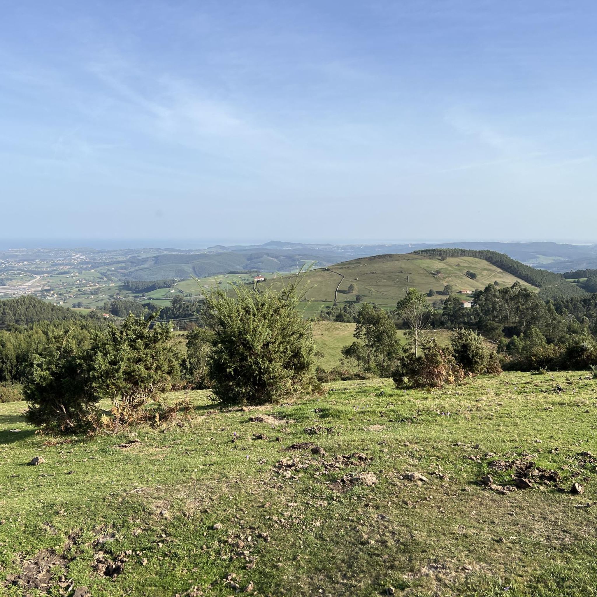
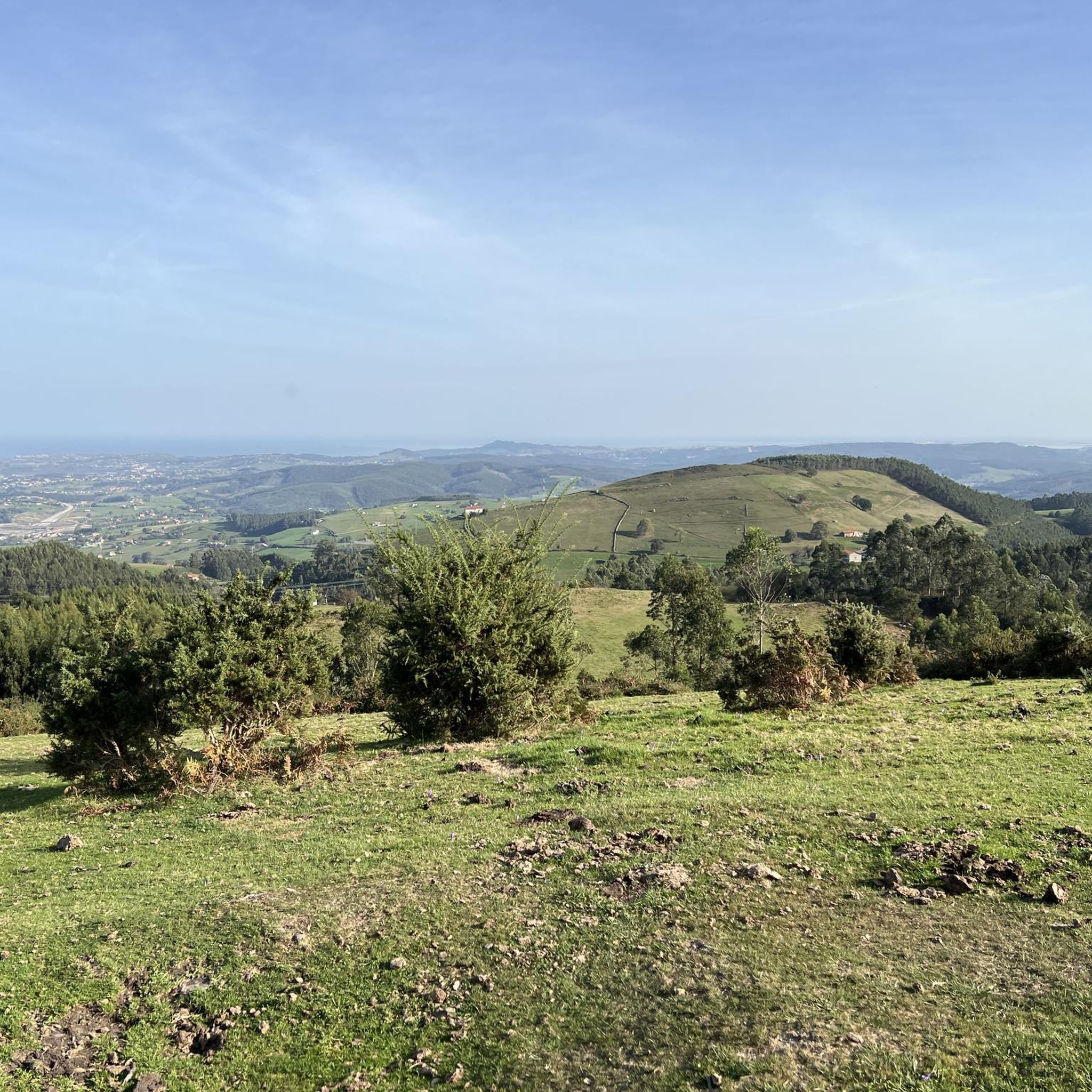
A height very close to Torrelavega with a height of 276 m above sea level.
0
0
Frequently Asked Questions
How many running routes are available around Cartes?
There are over 100 running routes documented around Cartes on komoot, offering a wide variety of options for all skill levels. These include paths through rolling hills, river valleys, and wooded sections.
Are there easy running routes suitable for beginners in Cartes?
Yes, Cartes offers routes suitable for beginners. While many routes feature moderate elevation changes, there are also easier, flatter paths available. For instance, the Running loop from Torrelavega is a moderate option that is popular and manageable for many.
What kind of terrain can I expect on the jogging trails in Cartes?
Jogging routes in Cartes feature diverse terrain, including rolling hills, serene riverine paths, and sections of woodland. You'll find a mix of open countryside and more sheltered areas, with elevation changes ranging from gentle inclines to more challenging ascents, particularly in the Ibio mountain range.
Are there any circular running routes in the Cartes area?
Yes, many of the running routes around Cartes are circular, allowing you to start and finish at the same point. A popular example is the Running loop from Cartes, which offers a balanced experience with gentle climbs and scenic views.
What are the typical distances and durations for running routes in Cartes?
Running routes in Cartes vary significantly in length and duration. You can find shorter loops around 5-6 miles (8-10 km) that take about an hour, such as the Running loop from Torrelavega. For more challenging runs, routes like the Ibio – Torreón de Cartes loop from Viérnoles can extend up to 18 miles (29 km) and take several hours to complete.
Can I bring my dog on the running trails around Cartes?
Generally, outdoor trails in the Cartes region are dog-friendly. However, it's always recommended to keep your dog on a leash, especially in areas with wildlife or near agricultural land, and to check for any specific local regulations or signage along your chosen route.
What interesting sights or landmarks can I see while running near Cartes?
While running near Cartes, you can encounter various natural and historical landmarks. Some routes might offer views of the Ibio mountain range, or pass close to coastal highlights like Santa Justa Beach or El Sable Beach. The region also features historical sites such as the Collegiate Church of Santa Juliana in nearby Santillana del Mar.
Are there any challenging running routes for experienced runners in Cartes?
Yes, experienced runners will find challenging options, particularly those venturing into the Ibio mountain range. Routes like the Ibio loop from Las Caldas de Besaya, covering over 14 miles with significant elevation gain, offer a demanding experience for those seeking a tougher workout.
What do other runners say about the trails in Cartes?
The running trails in Cartes are highly rated by the komoot community, with an average score of 4.5 stars from over 25 reviews. Runners often praise the diverse landscapes, from quiet woodlands to scenic river paths, and the variety of routes suitable for different fitness levels.
What is the best time of year to go running in Cartes?
The best time for running in Cartes is typically during spring and autumn, when the weather is mild and pleasant. Summers can be warm, especially inland, while winters are generally mild but can bring cooler temperatures and occasional rain, particularly in higher elevations.
Are there any routes that offer views of the coast or beaches?
While Cartes itself is inland, some routes or nearby areas can offer coastal views. The region is close enough to the Cantabrian coast that certain trails might provide glimpses of the sea, or you can combine your run with a visit to nearby beaches like Santa Justa Beach or Calderón Cove.
Where can I find parking for the running trails in Cartes?
Many running routes in Cartes start from or pass through towns like Cartes, Torrelavega, or Las Caldas de Besaya, where public parking facilities are generally available. For routes starting in more rural areas, roadside parking might be an option, but it's always advisable to check local signage and be mindful of private property.
Most popular attractions around Cartes

Get inspired with the komoot mobile app


Explore more
Browse the best Running Trails & Routes in other regions.
