The best walks and hikes around Riofrío De Aliste
5.0
(1)
15
hikers
6
hikes
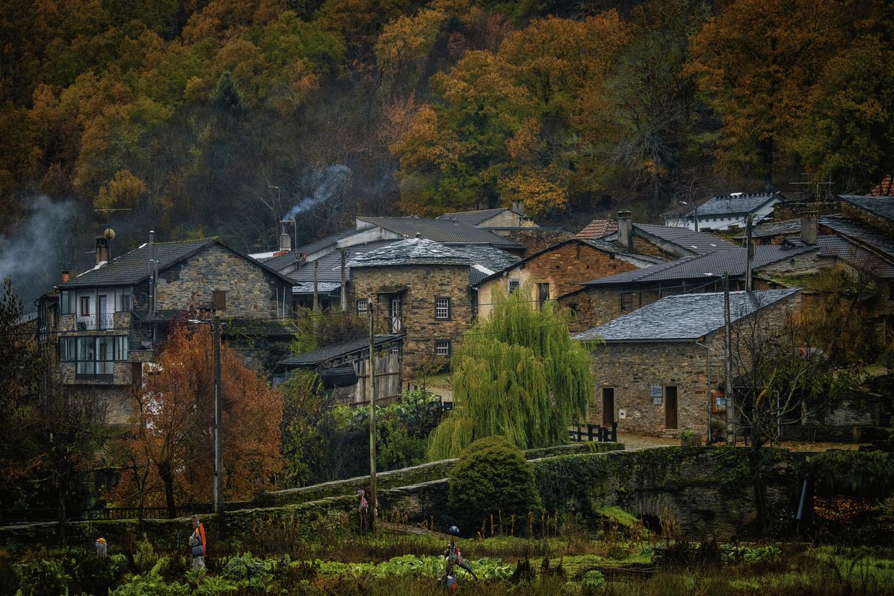
Hiking around Riofrío De Aliste offers routes through the Río Frío Valley, characterized by riverine landscapes and traditional mills. The region is situated on the southern slope of the Sierra de la Culebra, providing varied terrain. Hikers can encounter features like dry-stone walls ("cortinas") and stone enclosures ("corrales") used historically for livestock. The area provides a mix of gentle pathways along the river and more challenging sections in the sierra foothills.
Best hiking trails around Riofrío De Aliste
- The most…
Last updated: July 7, 2026
2
hikers
8.44km
02:27
240m
250m
Moderate hike. Good fitness required. Easily-accessible paths. Suitable for all skill levels.
14.8km
04:00
190m
190m
Hike the moderate 9.2-mile Route of the Corrales circular from Abejera (PR-ZA03) through varied landscapes in Sierra de la Culebra.

Sign up for free
11.2km
02:59
130m
130m
Hike the moderate 6.9-mile Rabanales Trail in Zamora, Spain, exploring riverside paths and traditional stone architecture.
5.0
(1)
8
hikers
12.3km
03:20
170m
170m
Moderate hike. Good fitness required. Easily-accessible paths. Suitable for all skill levels.
2
hikers
5.31km
01:25
60m
60m
Easy hike. Great for any fitness level. Easily-accessible paths. Suitable for all skill levels.
Our route recommendations are based on thousands of hikes, rides, and runs completed by other people on komoot.
Start today with a free account
Your next adventure awaits.
Login or Signup
Other adventures around Riofrío De Aliste

Tips from the Community

Rabanales is known in the Aliste region for preserving a historic center with abundant examples of traditional stone architecture, a hallmark of western Zamora. This architecture is characterized by its robustness, its integration with the landscape, and the use of local materials. The traditional houses and buildings are constructed primarily with local stone, especially granite, which provides solidity and a distinctive rustic aesthetic.
2
0

another example of a corral restored a few years ago
1
0
wonderful enclave with traditional corals
1
0

Rabanales is a small town located in the Aliste region with the typical traditional local architecture of masonry buildings.
1
1
Villardeciervos is a small town located in the Sierra de la Culebra de Zamora. The town was declared a historical-artistic complex in 1987 due to its traditional constructions, most of them made of local stone.
1
0

Walking through the dense pine forests, we come across the stone outcrop where the Castro de Valdemera sits. Before beginning the access to the rocky ridges we find a spring in the same rock, surrounded by stones, which rather forms a deep pool. From the top we can see the walled complex of the castro, surrounded by the remains of the wall. Climbing to the top of the stones, we can contemplate the entire Sierra de la Culebra and give you an idea of how big the castro was.
1
0
Following the path between chestnut and pine trees we arrive at the Castillán fort. The views from the top are really beautiful and allow you to contemplate the entire Sierra de la Culebra and get an idea of how big the castro was. Awesome!
1
0
Picturesque stone bridge that crosses the Mena river giving us a beautiful print.
2
0
Frequently Asked Questions
What kind of terrain can I expect on hikes around Riofrío De Aliste?
Hikes in Riofrío De Aliste feature diverse terrain. You'll find gentle pathways with minimal elevation along the Río Frío Valley, characterized by riverine landscapes. As you venture towards the Sierra de la Culebra, the terrain becomes more varied and can include moderate elevation changes. You'll also encounter unique features like dry-stone walls ("cortinas") and traditional stone enclosures ("corrales") scattered across the landscape.
Are there any easy hiking trails suitable for beginners in Riofrío De Aliste?
Yes, there are easy trails available. For instance, the Abejera Shoeing Frame loop from Abejera is an easy 5.3 km route with minimal elevation gain, perfect for a relaxed walk. The paths along the Río Frío are generally gentle and accessible for various fitness levels.
What interesting landmarks or natural features can I see while hiking in the area?
While hiking, you can discover several unique features. The region is known for its numerous old traditional mills along the Río Frío, offering a glimpse into local history. You might also encounter ancient dovecotes and the distinctive "cortinas" (dry-stone walls) and "corrales" (stone enclosures) used historically by shepherds. Notable natural attractions include the Fidionda Spring and the picturesque Aliste River in Vegalatrave. For historical interest, consider visiting Castro de Valdemera.
Are there any circular hiking routes in Riofrío De Aliste?
Yes, there are circular routes available. The Castros de Castillan y Valdemera — circular desde Ferreras de Arriba is a popular 8.4 km circular trail that offers varied terrain. Another option is the Abejera Shoeing Frame loop from Abejera, which is an easy circular walk.
What is the best time of year to go hiking in Riofrío De Aliste?
The region is generally pleasant for hiking during spring and autumn when temperatures are milder. Spring brings blooming flora, and autumn offers beautiful colors. Summer can be warm, especially in the middle of the day, so early morning or late afternoon hikes are recommended then. Winters are cooler but can still be suitable for hiking, depending on the weather conditions.
Are there any family-friendly hiking options in Riofrío De Aliste?
Yes, the trails along the Río Frío are particularly suitable for families due to their low difficulty and minimal elevation changes. These paths offer a gentle outdoor activity amidst cultural heritage, with opportunities to see old mills and traditional buildings. The Abejera Shoeing Frame loop from Abejera is also an easy option for families.
Can I bring my dog on the hiking trails in Riofrío De Aliste?
Most hiking trails in natural areas like Riofrío De Aliste are generally dog-friendly, but it's always advisable to keep your dog on a leash, especially in areas with livestock or wildlife. Ensure you carry enough water for both yourself and your pet, and always clean up after them.
How long do hikes typically take in Riofrío De Aliste?
Hike durations vary depending on the route and your pace. Shorter, easy trails like the Abejera Shoeing Frame loop from Abejera can take around 1 hour 25 minutes. Moderate trails, such as the Rabanales Trail (11.2 km), typically take about 3 hours. Longer, more challenging routes like the Abejera Shoeing Frame – Corrales de Tozalfreno loop from Abejera (18.6 km) can take over 5 hours.
What makes the Aliste region, where Riofrío De Aliste is located, unique for hiking?
The Aliste region is unique for its blend of serene riverine landscapes, the historical charm of its traditional mills, and its ethnographic structures like "cortinas" and "corrales." Its location on the southern slope of the Sierra de la Culebra provides a diverse backdrop, offering both gentle riverside walks and more extensive exploration into varied terrain, allowing hikers to experience both nature and history.
Are there any particularly scenic routes that offer good views?
While specific viewpoints are not detailed for every route, the region's position on the southern slope of the Sierra de la Culebra suggests that higher elevation trails will offer panoramic views. The Castros de Castillan y Valdemera — circular desde Ferreras de Arriba, with its moderate elevation changes, is likely to provide scenic vistas of the surrounding landscape.
What is the 'Route of the Corrals' and what can I expect on it?
The Route of the Corrals (PR-ZA 3) is a 14.8 km trail that leads through areas featuring traditional stone enclosures known as "corrales." These rudimentary circular, oval, or square stone structures were historically used by shepherds to protect livestock. This route offers a unique opportunity to explore the region's ethnographic heritage alongside its natural beauty, typically taking around 4 hours to complete.
Most popular attractions around Riofrío De Aliste

Get inspired with the komoot mobile app


Explore more
Browse the best Hikes in other regions.
