The best walks and hikes around Ventas De Huelma
4.8
(76)
325
hikers
12
hikes
Hiking around Ventas De Huelma offers access to varied landscapes, characterized by river valleys, reservoir areas, and surrounding hills. The region features trails that often follow natural watercourses like the Cacín River, leading to points of interest such as Roman bridges. Hikers can expect a mix of open terrain and paths winding through local vegetation. The area provides opportunities for both leisurely walks and more challenging routes with moderate elevation changes.
Best hiking trails around Ventas De Huelma
- The most…
Last updated: July 4, 2026
4.8
(28)
119
hikers
11.5km
03:14
250m
250m
Moderate hike. Good fitness required. Easily-accessible paths. Suitable for all skill levels.
4.8
(25)
106
hikers
11.1km
03:08
240m
240m
Moderate hike. Good fitness required. Easily-accessible paths. Suitable for all skill levels.

Sign up for free
4.8
(13)
40
hikers
6.88km
01:56
130m
140m
Easy hike. Great for any fitness level. Easily-accessible paths. Suitable for all skill levels.
3.5
(2)
15
hikers
12.5km
03:34
270m
270m
Moderate hike. Good fitness required. Easily-accessible paths. Suitable for all skill levels.
5.0
(1)
3
hikers
6.14km
01:48
170m
160m
Easy hike. Great for any fitness level. Easily-accessible paths. Suitable for all skill levels.
Get access to more routes and recommendations from other explorers.
Sign up for free
Already have an account?
Our route recommendations are based on thousands of hikes, rides, and runs completed by other people on komoot.
Start today with a free account
Your next adventure awaits.
Login or Signup
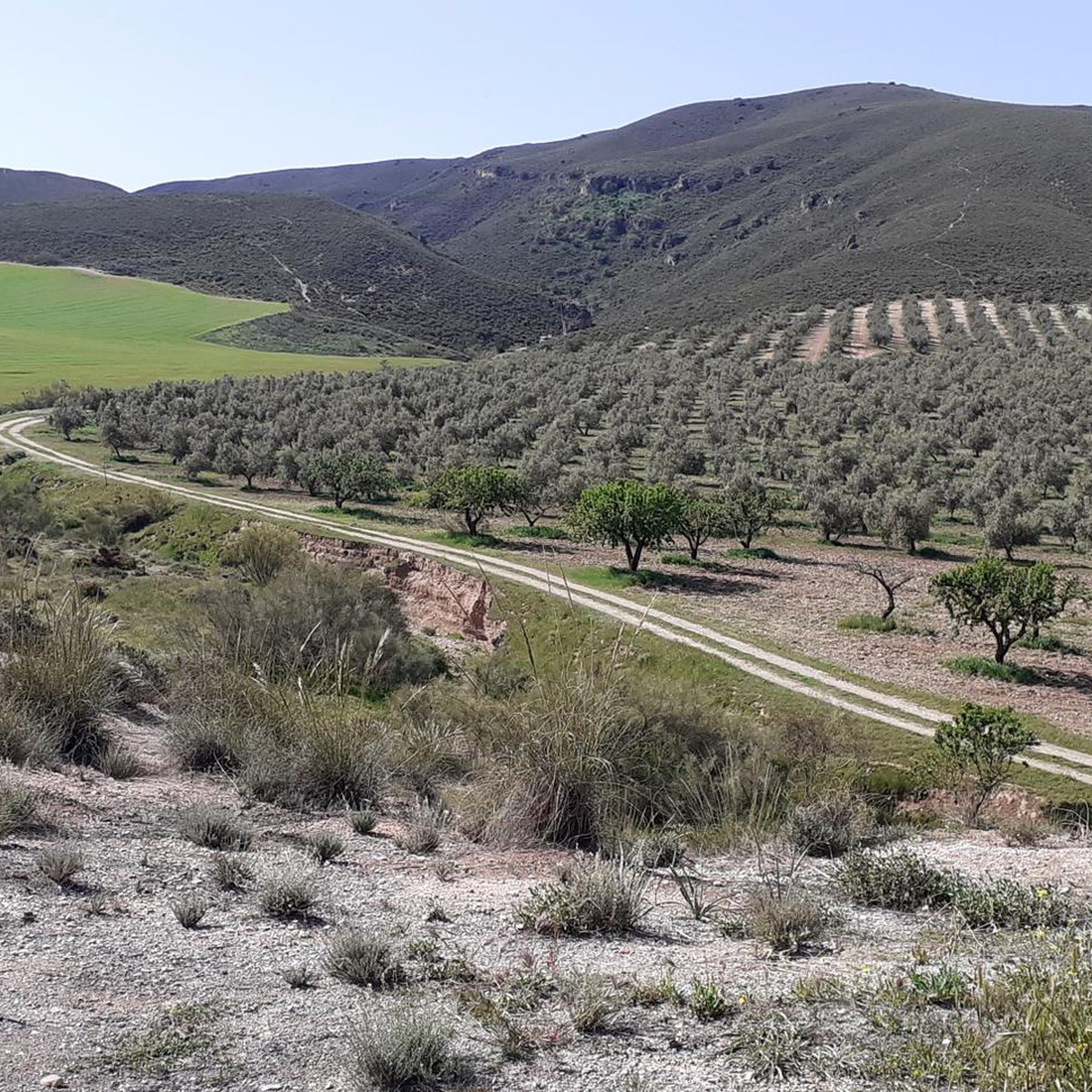
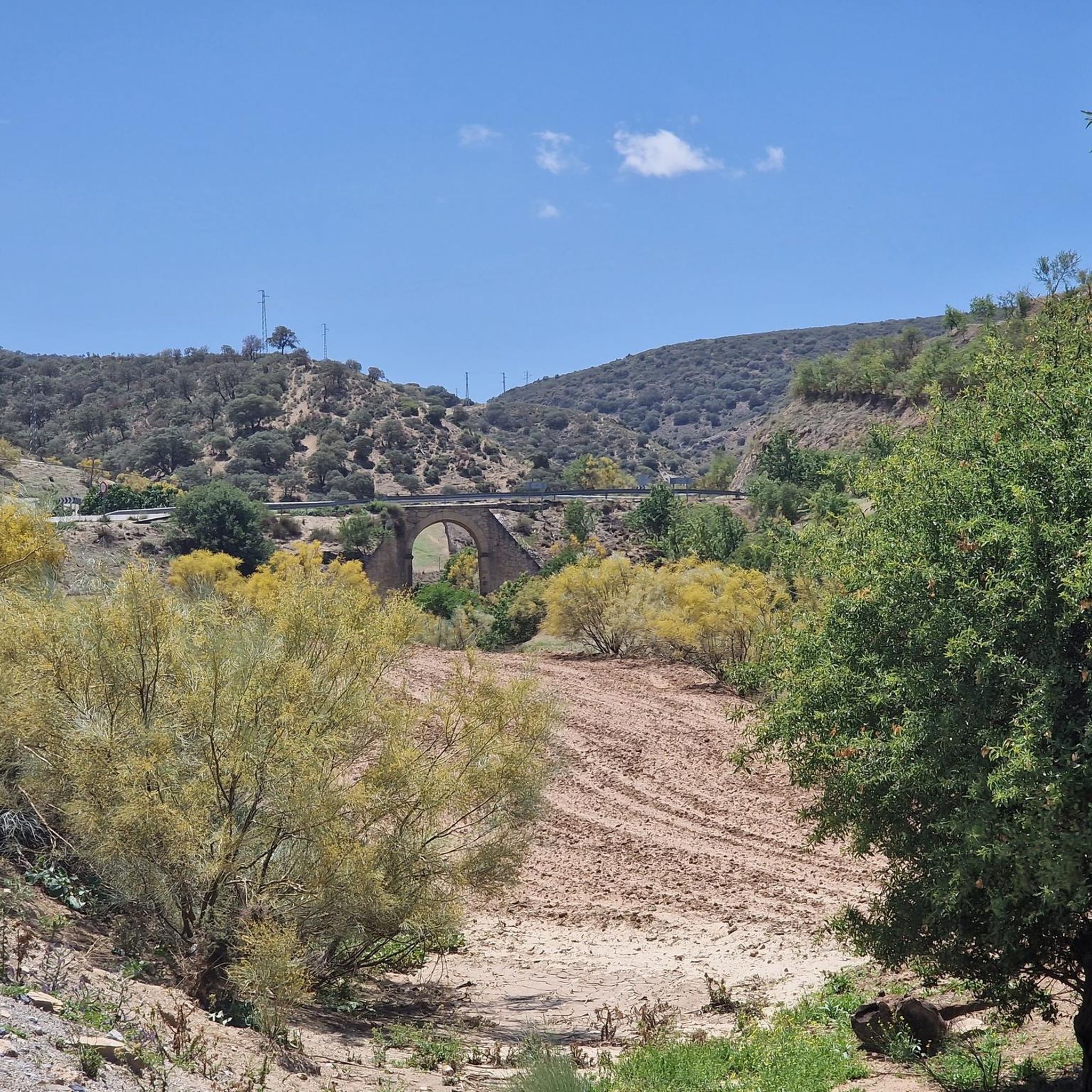
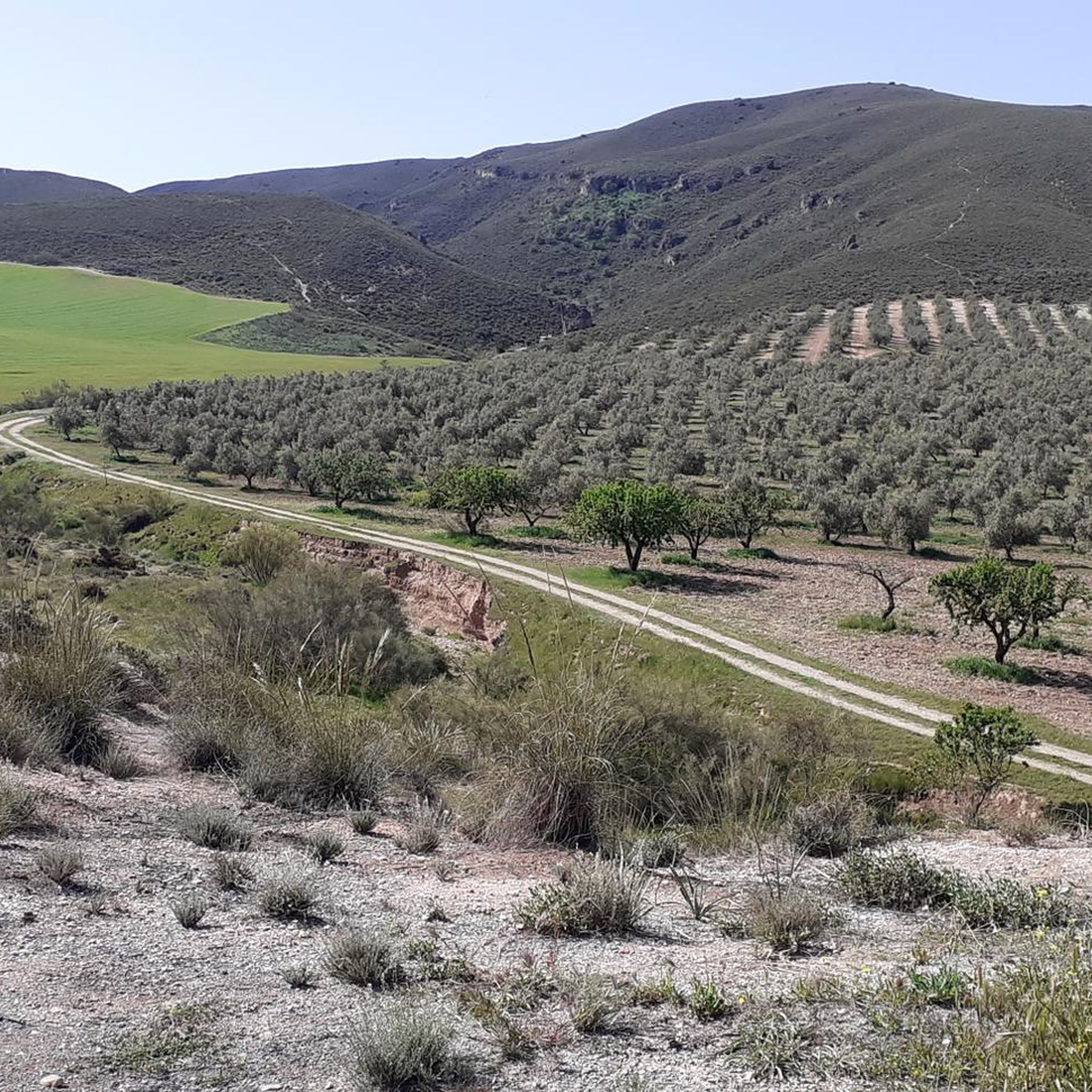


Tips from the Community

Area with easy parking next to the Bermejales reservoir dam, where to start or finish the RITPG 17 and connect with the RITPG 19 with connection to the N with Cacín and Santa Cruz del Comercio and to the S, crossing the reservoir dam, with Arenas del Rey and Játar
0
0

The Cacín River flows through the valley of the municipality of Arenas del Rey and empties into the Genil River, forming part of the Guadalquivir basin. It has a total length of approximately 50 km, of which roughly 33 km run from the Los Bermejales reservoir to its confluence. Its valley combines terraces of Quaternary sediments (conglomerates, sands, clays) and an impressive canyon carved through soft materials.
1
0

No longer present or defective and overgrown
0
0
No longer usable and completely overgrown. We arrived from the north side, and the last suspension bridge was no longer accessible. One anchor had broken off, and the wooden planks from the stands were broken or missing. A real shame!
0
0

To access it you have to follow a path half lost among the pines.
0
0
It is a 20th century church
1
0
This is a viewpoint located in the Bermejales dam, right on the path that leads us to make the Ruta de los Tajos de los Bermejales
1
0
Frequently Asked Questions
How many hiking trails are available in Ventas De Huelma?
There are over a dozen hiking routes in Ventas De Huelma, offering a variety of experiences. These include easy strolls, moderate treks, and some more challenging paths, catering to different fitness levels.
Are there easy hiking routes suitable for beginners or families?
Yes, Ventas De Huelma offers several easy routes perfect for beginners or families. A good option is the Cacín River loop from Pantano de los Bermejales, which is 4.2 miles (6.7 km) long and takes about 1 hour 53 minutes to complete. Another accessible choice is the Via Ferrata – Roman Bridge loop from Cortijo del Cura, an easy 3.8-mile (6.1 km) path.
What kind of landscapes will I encounter on the trails?
The hiking trails in Ventas De Huelma primarily feature varied landscapes characterized by river valleys, reservoir areas, and surrounding hills. You can expect paths winding along natural watercourses like the Cacín River, leading to points of interest such as Roman bridges, and a mix of open terrain and local vegetation.
Are there any circular walks in Ventas De Huelma?
Many of the routes in Ventas De Huelma are designed as circular walks, allowing you to start and end at the same point. Examples include the popular Cacín River Trail – Roman Bridge loop from Pantano de los Bermejales and the Casa Rural Pedro – La Resinera loop from Fornes.
What are some scenic viewpoints or attractions along the hiking trails?
Hikers can enjoy several scenic spots and attractions. The trails often pass by the beautiful Los Bermejales Reservoir and the Embalse de los Bermejales. You might also discover the historic Roman bridges along the Cacín River, and experience the Great agricultural landscape offering expansive views.
What do other hikers say about the trails in Ventas De Huelma?
The trails in Ventas De Huelma are highly regarded by the komoot community, with an average rating of 4.8 stars from over 60 reviews. Hikers often praise the varied terrain, the beauty of the river valleys, and the well-maintained paths that lead to interesting historical features like the Roman bridges.
Are there any advanced or more challenging hikes?
Yes, for those seeking a greater challenge, there are a couple of difficult routes available. These trails typically feature more significant elevation changes and cover longer distances, providing a more strenuous hiking experience.
Is Ventas De Huelma suitable for dog-friendly hiking?
While specific regulations for dogs on every trail can vary, the natural and open character of many routes in Ventas De Huelma, particularly those along river valleys and through agricultural landscapes, generally makes them suitable for hiking with dogs. Always ensure your dog is under control and check for any local signage regarding pet access.
What is the best season for hiking in Ventas De Huelma?
Given its location in Andalusia, the best seasons for hiking in Ventas De Huelma are typically spring (March to May) and autumn (September to November). During these months, the weather is milder and more pleasant, avoiding the intense heat of summer and the cooler, potentially wetter days of winter. Spring also brings blooming wildflowers, adding to the scenic beauty.
Are there options for less crowded hikes in the area?
While some popular routes, especially those featuring Roman bridges, can see more visitors, the region offers a good number of trails. Exploring some of the less-trafficked paths, particularly during weekdays or outside of peak holiday periods, can provide a more tranquil hiking experience. The Casa Rural Pedro – La Resinera loop from Fornes, for example, might offer a quieter alternative.
Where can I find parking for trailheads in Ventas De Huelma?
Parking availability varies by trailhead. For routes starting near Pantano de los Bermejales, you can often find designated parking areas close to the reservoir. For other routes, especially those starting from smaller villages or rural cortijos, roadside parking or small village car parks are usually available. It's advisable to check the specific route details on komoot for parking suggestions.
Most popular routes around Ventas De Huelma
Most popular attractions around Ventas De Huelma

Get inspired with the komoot mobile app


Explore more
Browse the best Hikes in other regions.
