The best walks and hikes around Guadasséquies
4.6
(245)
1,413
hikers
90
hikes
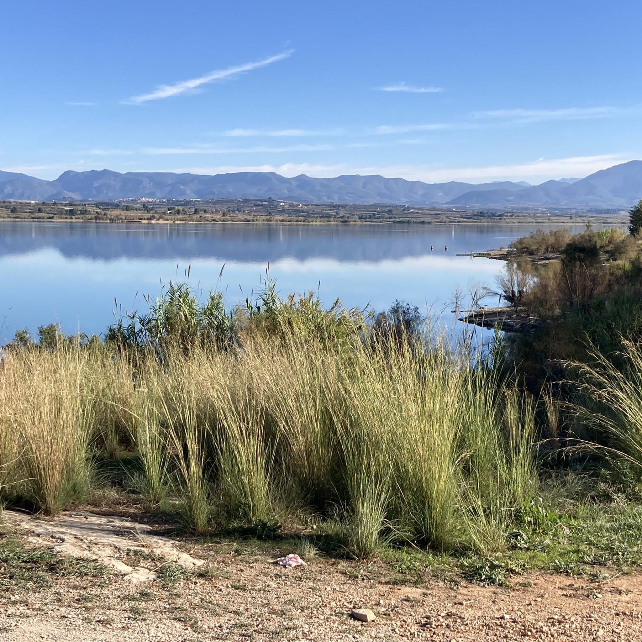
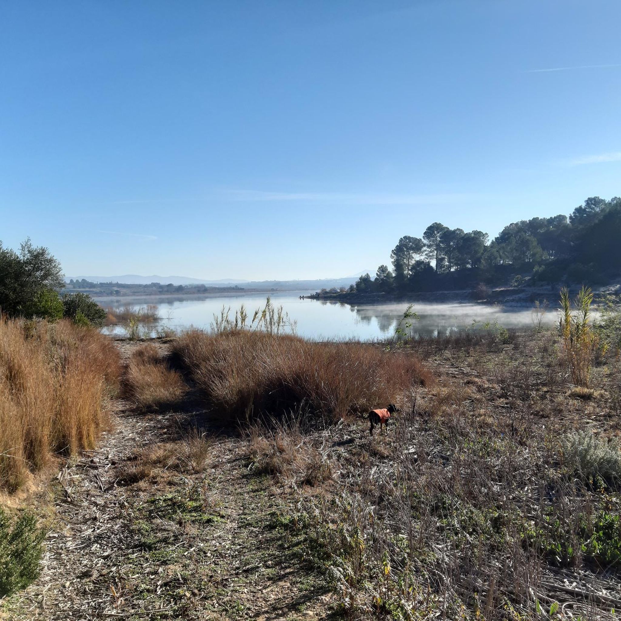
Hiking around Guadasséquies offers a diverse landscape characterized by the Albaida River, historical aqueducts, and the Cova Negra area. The region features a mix of riverside paths, open terrain, and routes around the Bellús Reservoir, nestled within the natural beauty of La Vall d'Albaida. Elevation changes are generally moderate, making the area accessible for various hiking abilities. The narrow valley formed by the Albaida River, cutting through the Sierra Grossa mountains, provides interesting geological formations.
Best hiking trails around Guadasséquies
- The most popular hiking route is Arcadetes d’Alboi Aqueduct – Cova Negra loop from Bellús, a 7.6 miles (12.2 km) trail that takes 3 hours 14 minutes to complete. This moderate route explores historical aqueducts and the Cova Negra area.
- Another top favourite among local hikers is Albaida River Crossing – Cova Negra loop from Bellús, a moderate 8.1 miles (13.1 km) path. This route follows the Albaida River and passes through the Cova Negra region.
- Local hikers also love the Cova Negra – Arcadetes d’Alboi Aqueduct loop from Bellús, a 4.1 miles (6.6 km) trail leading through the Cova Negra area and past the Arcadetes d’Alboi Aqueduct, often completed in about 1 hour 46 minutes.
- Hiking around Guadasséquies is defined by river valleys, historical aqueducts, and reservoir views. The network offers options for easy hikes and moderate hiking trails near Guadasséquies.
- The routes in Guadasséquies are highly rated by the komoot community with an average score of 4.7 stars from over 200 reviews. More than 1,300 hikers have used komoot to explore Guadasséquies's varied terrain.
Last updated: June 24, 2026
4.6
(25)
81
hikers
11.9km
03:09
110m
110m
Moderate hike. Good fitness required. Easily-accessible paths. Suitable for all skill levels.
5.0
(3)
20
hikers
13.1km
03:46
280m
280m
Moderate hike. Good fitness required. Mostly accessible paths. Sure-footedness required.

Sign up for free
5.0
(1)
20
hikers
6.62km
01:46
80m
80m
Easy hike. Great for any fitness level. Easily-accessible paths. Suitable for all skill levels.
14
hikers
14.7km
04:49
430m
430m
Moderate hike. Good fitness required. Mostly accessible paths. Sure-footedness required.
9
hikers
4.24km
01:19
160m
160m
Easy hike. Great for any fitness level. Easily-accessible paths. Suitable for all skill levels.
Get access to more routes and recommendations from other explorers.
Sign up for free
Already have an account?
Our route recommendations are based on thousands of hikes, rides, and runs completed by other people on komoot.
Start today with a free account
Your next adventure awaits.
Login or Signup

Tips from the Community

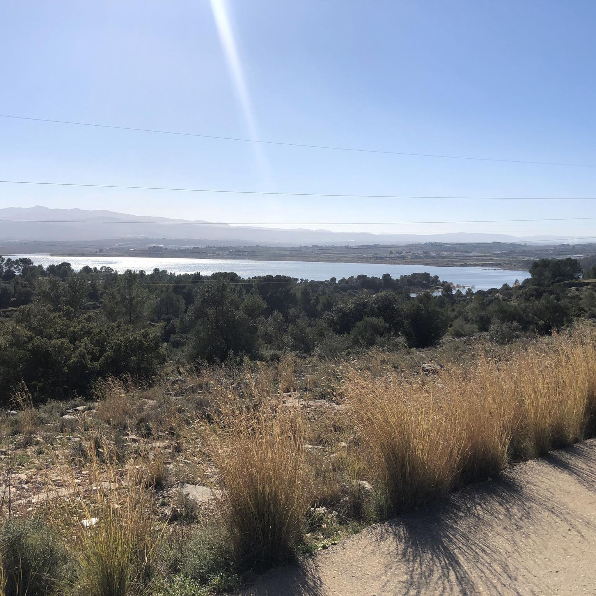
Short and steep climb, nice view over the Bellus dam. For a circular variant, instead of going around the electric pylon, go down the path that returns on the other side of the Aventador.
0
0

The La Cova Negra municipal natural area is located in the municipality of Játiva, province of Valencia. In the Cova Negra is the Middle Paleolithic site in which remains of Homo Neanderthal have appeared. This natural area is located in the narrow valley formed by the Albaida River, as it crosses the reliefs of the Sierra Grossa, at the exit of the so-called Estret de les Aigües. In the widest meander formed by the Albaida River, at the height of Pico del Paller, you can see the Cova Negra, named for the blackish appearance of its walls.
2
1

I would suggest this being a good place to plan and start your hikes from. Easy access to the river and points of interest.
1
0
One of the ways to cross the river itself. I tried several others in the vicinity which were not suitable as the river flow to high
1
0

La Cova Negra is a cavity that is located in a gorge called the Strait of Waters. Its black color is mainly due to the smoke from the bonfires made by its former inhabitants, the Neanderthals who occupied it for a few months of the year. An important amount of flint tools and other archaeological remains have been found here.
3
0

The Pont Sec ravine aqueduct, also known as Arcades d'Alboi, is part of the old Canal de Bellús in Xàtiva, a construction of medieval origin that has its origin in the source of Bellús. It traces its route along the Albaida river for ten kilometers and allowed a constant supply of water to the city of Xàtiva.
1
1
Located next to the Guarner mill, a hydraulic mill to grind wheat and obtain flour. The necessary energy was obtained by partially diverting part of the river bed through a channel, the force of which activated the operation of the mill's gears.
1
1
La Cova Negra is an important archaeological site, located in the widest meander of the Albaida river. It was home to Neanderthal man in the Paleolithic. The cave gets its name from the dark color of the walls. Human remains and paintings have been found inside.
2
0
Frequently Asked Questions
How many hiking trails are available around Guadasséquies?
There are over 90 hiking trails around Guadasséquies, offering a wide variety of options for different skill levels and preferences. The region is particularly rich in moderate trails, with over 50 available.
Are there easy hiking trails suitable for beginners or families in Guadasséquies?
Yes, Guadasséquies offers over 20 easy hiking trails perfect for beginners or families. A great option is the Cova Negra – Albaida River Crossing loop from Cova Negra, which is an easy 2.4-mile (3.9 km) path following the Albaida River.
What kind of moderate hiking trails can I find in Guadasséquies?
The region features over 50 moderate hiking trails. These often explore historical aqueducts, river valleys, and offer views of the Bellús Reservoir. A popular moderate route is the Arcadetes d’Alboi Aqueduct – Cova Negra loop from Bellús, a 7.4-mile (11.9 km) trail.
Are there any challenging hikes in the Guadasséquies area?
While the majority of trails are easy to moderate, there are 9 more challenging routes available for experienced hikers seeking a greater workout. These often involve more significant elevation changes and longer distances.
What are the typical durations for hikes around Guadasséquies?
Hike durations vary widely depending on the trail's length and difficulty. Easy routes like the Cova Negra – Albaida River Crossing loop from Cova Negra can be completed in about 1 hour. Moderate trails, such as the Arcadetes d’Alboi Aqueduct – Cova Negra loop from Bellús, typically take around 3 hours.
Are there circular walks available in Guadasséquies?
Yes, many of the trails in Guadasséquies are designed as circular routes, allowing you to start and end at the same point without retracing your steps. Examples include the Cova Negra – Arcadetes d’Alboi Aqueduct loop from Bellús and the Bellús Reservoir – Cova Negra loop from la Cova Negra.
What can I see along the hiking trails in Guadasséquies?
The trails often feature historical aqueducts like the Arcadetes d’Alboi, the Albaida River, and the Cova Negra area. You can also explore nearby natural attractions such as the Barranco de Caturla or enjoy views from the Barranc de Cairent Viewpoint. Historical sites like Castell de Xàtiva are also within reach.
Is Guadasséquies a dog-friendly hiking destination?
Many trails in the Guadasséquies region are suitable for hiking with dogs, offering open terrain and riverside paths. It's always recommended to keep dogs on a leash, especially near wildlife or agricultural areas, and to check specific trail regulations before you go.
What do other hikers enjoy the most about hiking in Guadasséquies?
The area is highly rated by the komoot community, with an average score of 4.7 stars from over 200 reviews. Reviewers often praise the diverse landscape, including river valleys and historical aqueducts, and the well-maintained paths that cater to various hiking abilities.
Is there public transport available to reach hiking trailheads in Guadasséquies?
Public transport options directly to specific trailheads in Guadasséquies may be limited. It is generally recommended to travel by car to access the starting points of most hikes, especially those further from the town center. Always check local bus schedules for the most up-to-date information.
Are there parking facilities available near the hiking trails?
Yes, parking is generally available near popular trailheads and in the town of Guadasséquies. Specific parking information can often be found on individual route pages on komoot, or by checking local signage upon arrival at your chosen starting point.
What is the best time of year to hike in Guadasséquies?
The best time to hike in Guadasséquies is typically during the spring (March to May) and autumn (September to November) when temperatures are milder and the natural scenery is vibrant. Summer can be very hot, making early morning or late afternoon hikes preferable, while winter offers cooler, crisp conditions.
Most popular routes around Guadasséquies
Most popular attractions around Guadasséquies

Get inspired with the komoot mobile app


Explore more
Browse the best Hikes in other regions.
