The best cycling routes around Cabó
4.7
(8)
266
riders
25
rides
Touring cycling around Cabó is characterized by its mountainous terrain, featuring significant elevation changes and challenging climbs. The region, located in the Spanish Pyrenees, offers routes that traverse high mountain passes and provide panoramic views of the surrounding landscape. Cyclists can expect winding roads through valleys and along ridges, with a diverse environment that tests endurance and rewards with scenic vistas. This area is ideal for those seeking demanding touring cycling routes.
Best touring cycling routes around Cabó
- The most…
Last updated: June 28, 2026
19
riders
58.6km
04:12
1,230m
1,230m
Hard bike ride. Very good fitness required. Mostly paved surfaces. Suitable for all skill levels.
3.5
(2)
14
riders
45.4km
03:30
1,120m
1,120m
Hard bike ride. Very good fitness required. Mostly paved surfaces. Suitable for all skill levels.

Sign up for free
12
riders
105km
07:38
2,350m
2,350m
Hard bike ride. Very good fitness required. Mostly paved surfaces. Suitable for all skill levels.
14
riders
36.8km
02:47
850m
850m
Hard bike ride. Very good fitness required. Mostly paved surfaces. Suitable for all skill levels.
16
riders
56.5km
04:10
1,280m
1,280m
Hard bike ride. Very good fitness required. Mostly paved surfaces. Suitable for all skill levels.
Get access to more routes and recommendations from other explorers.
Sign up for free
Already have an account?
Our route recommendations are based on thousands of hikes, rides, and runs completed by other people on komoot.
Start today with a free account
Your next adventure awaits.
Login or Signup

Tips from the Community

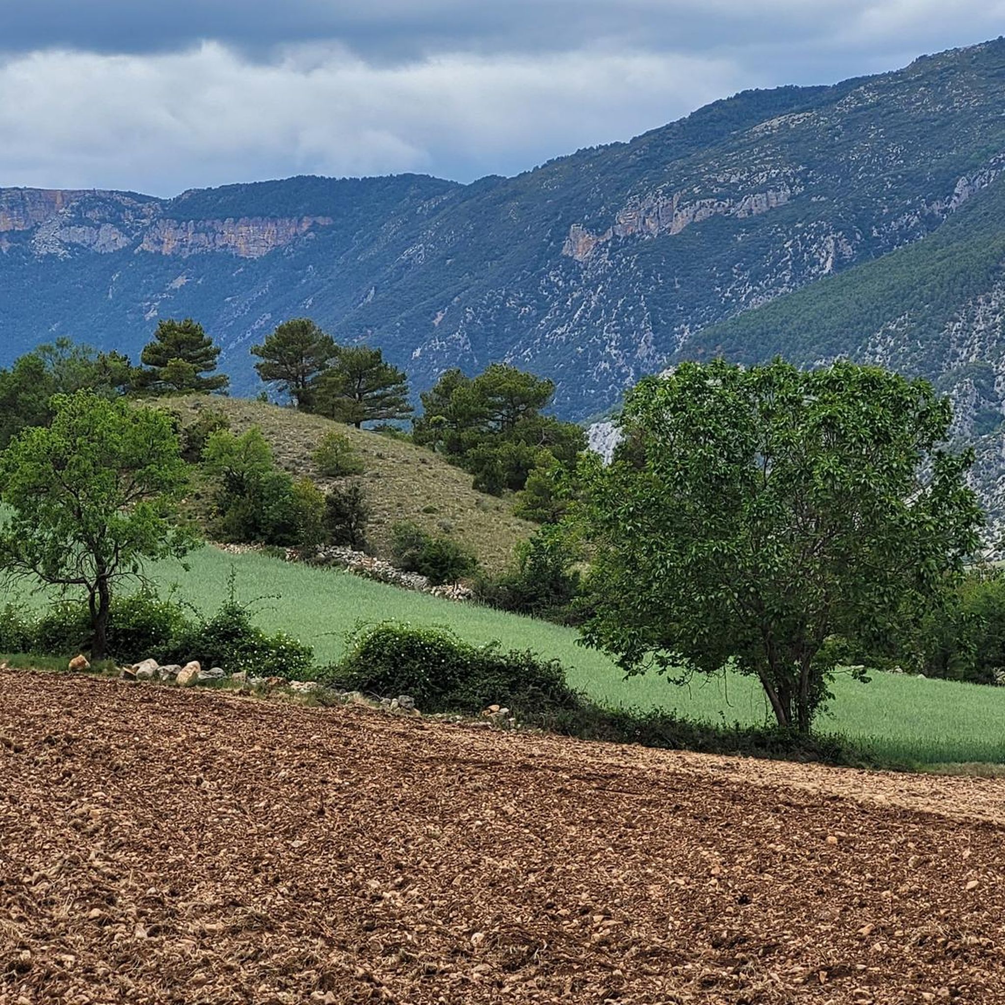
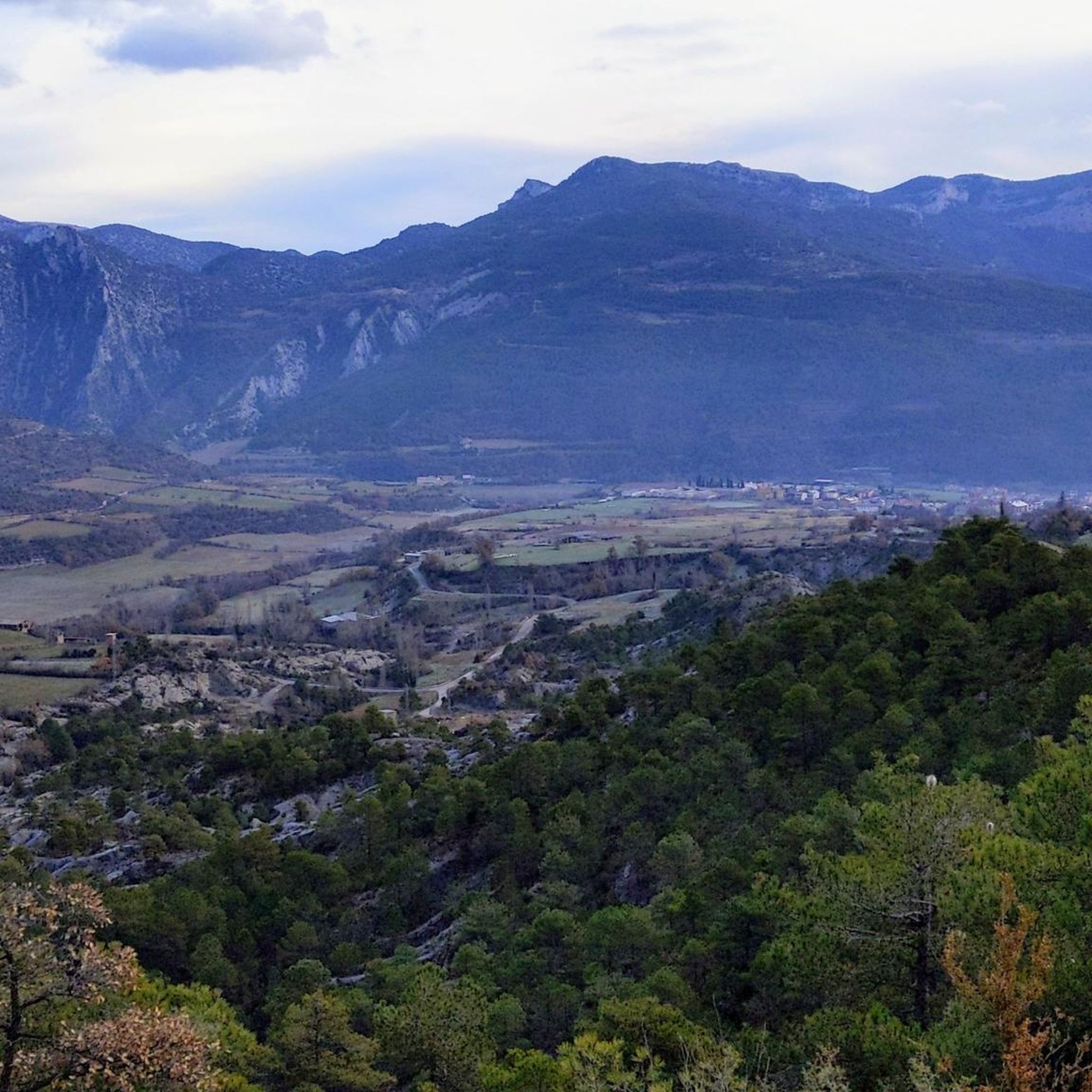
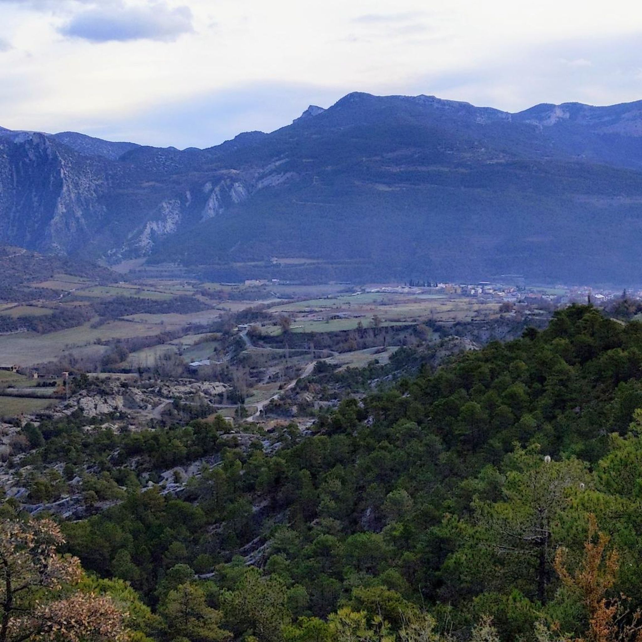
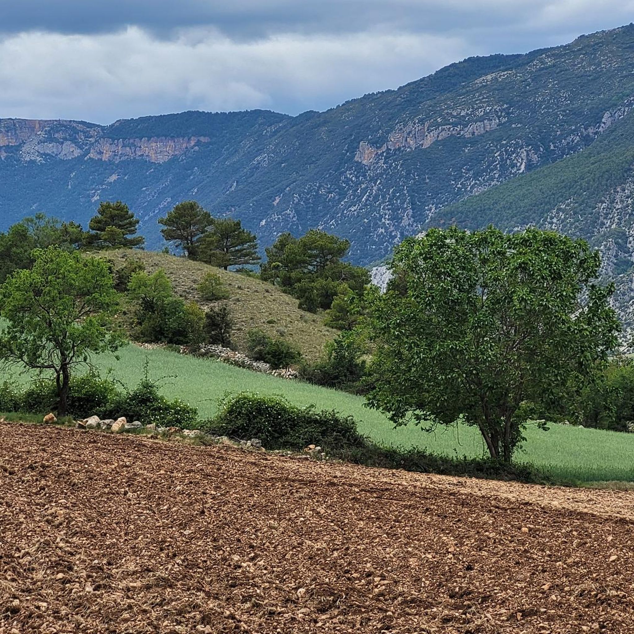
On the border between Alt Urgell and Solsonès, the Serra-seca viewpoint is located near kilometer 25 of the road between Hostal de Cirera and Cambrils. Access is via a signposted track and a small path that leads to a high point from which you can enjoy spectacular views of the Ribera Salada, the Oliana reservoir and a good part of the central Pre-Pyrenees. It is an ideal stop to breathe and enjoy the landscape in silence. The approach terrain can have irregular sections, with loose stones and slopes, so you need to be careful if you go by bike. The environment is exposed and windy on changeable days, so it is advisable to wear suitable clothing and check the bike before continuing.
0
0


Convenient mountain town with all the facilities you need during a multi-day cycling or hiking holiday: excellent campsite, a few hotels, several restaurants, a supermarket, a bakery, ...
0
0

Next to the Coll d'Ares, it is the most iconic port in the Montsec mountain range and the Lleida Pre-Pyrenees. The views from above, either towards the Pyrenees and the Isona and Tremp valley, as well as the Plana de Lleida, are magnificent. It is a port with 4 aspects, each one different: - The southern slope, which begins in Artesa de Segre, is almost 24 km long and runs along a road with a lot of traffic, very wide and with long straights. After passing the town of Folquer, you face the hardest section of the climb, now with continuous curves and horseshoes, although with a road that is still very wide. The best are the views of the Lleida plain. It is not a side that I like since it is very stinky. - The southeast slope, the one that begins in Pons, is longer than the previous one, with 29 km. It has 2 rest sections, with some descent, and the road is narrow and twisty. There are good views along the climb. This slope joins the southern slope that comes from Artesa de Segre at the height of Folquer, where the hardest 7 km remain until reaching the top of the pass. - The main northern slope begins in Tremp and is 28.2 km. It is similar to the Artesa de Segre slope, with a similar gradient and a wide, busy road with a progressive slope, although it is true that there are no kilometers that reach 7%. I don't like. - The northwest slope, which also begins in Tremp, takes the old road that goes up through the town of Sant Salvador de Toló. It is a climb without traffic, on an irregular asphalt road, one of the old ones, which is grippy and difficult to roll, but in good condition. If you plan to go up to Comiols on the northern slope, you have to do it here and forget about the slope that runs along the main road.
0
0


Spectacular views from above and a port that leaves you marked.
0
0

Small town located below the Coll de Comiols and at the foot of the Roc de Benavent, a stone structure that can be reached on foot from the town itself.
0
0

Serra-Seca, a Solsonès classic. You can go up from Valldan or Montpol, Solsona, in this case it is advisable to continue to Cambrils, Odèn, Canalda and go down again to Solsona via Lladurs.
0
0
Frequently Asked Questions
How many touring cycling routes are available around Cabó?
There are over 20 touring cycling routes available around Cabó. The region is known for its demanding terrain, with 20 out of 22 routes classified as difficult, offering significant elevation changes and challenging climbs through the Spanish Pyrenees.
What kind of terrain can I expect when touring cycling in Cabó?
Touring cycling in Cabó is characterized by mountainous terrain, featuring significant elevation changes and challenging climbs. You can expect winding roads through valleys and along ridges, traversing high mountain passes. The diverse environment tests endurance and rewards with scenic vistas.
Are there any routes suitable for beginner touring cyclists in Cabó?
While Cabó is primarily known for its demanding routes, there are a couple of moderate options available. However, most routes are classified as difficult, making the area ideal for experienced touring cyclists seeking a challenge rather than beginners.
What are some notable natural features or viewpoints I can encounter on the cycling routes?
The routes around Cabó offer panoramic views of the surrounding Pyrenean landscape. You might encounter natural monuments like Fuente de la Menta or the impressive Boumort Canyon. Many routes also pass through significant mountain passes such as Coll de Bóixols and Coll d'Arnat, which often provide excellent viewpoints.
Are there any circular touring cycling routes around Cabó?
Yes, many of the touring cycling routes around Cabó are designed as loops. For example, the Organyà – Coll de Bóixols loop from Organyà and the Organyà – Coll de Bóixols loop from Coll de Nargó are popular circular options that allow you to start and finish in the same location.
What do other touring cyclists enjoy most about cycling in Cabó?
The area is highly rated by the komoot community, with an average score of 4.6 stars from over 6 reviews. Cyclists often praise the challenging ascents, the rewarding panoramic viewpoints, and the demanding nature of the routes through the mountainous Pyrenean landscape.
Are there any waterfalls or other water features along the cycling routes?
Yes, you can find water features in the vicinity. The Waterfalls of Organyà are a notable natural attraction that can be explored near some of the cycling routes.
What is the longest touring cycling route in Cabó?
The longest touring cycling route listed is the Coll de Bóixols – Coll de Comiols loop from Coll de Nargó, which spans 65.3 miles (105.1 km) and typically takes around 7 hours 37 minutes to complete. This route leads through multiple mountain passes.
Can I find routes that offer views of specific landmarks or points of interest?
Many routes offer views of significant mountain passes and natural features. For instance, the Organyà – Serra Seca Viewpoint loop from Organyà is specifically designed to take you to a prominent viewpoint, offering expansive vistas of the region.
What is the best time of year for touring cycling in Cabó?
Given Cabó's location in the Spanish Pyrenees with significant elevation changes and mountain passes, the best time for touring cycling is generally during the warmer months, from late spring to early autumn, to avoid snow and ice at higher altitudes and ensure more favorable weather conditions for challenging climbs.
Are there any routes that are particularly challenging for advanced cyclists?
Absolutely. Cabó is renowned for its challenging routes. The Coll de Bóixols – Coll de Comiols loop from Coll de Nargó, at over 100 km with significant elevation gain, is an excellent option for advanced cyclists seeking a demanding multi-pass experience. Most routes in the area are classified as difficult.
Are there any specific highlights or points of interest along the route from Coll de Nargó?
From Coll de Nargó, you can embark on routes like the Organyà – Sant Climent de Coll de Nargó loop. This route, while challenging, offers a journey through the mountainous landscape, connecting you to various points of interest in the region.
Most popular attractions around Cabó

Get inspired with the komoot mobile app


Explore more
Browse the best Cycling routes in other regions.
