The best running trails around Lullington
4.1
(50)
7,750
runners
415
runs
Jogging routes around Lullington, primarily located in South Derbyshire, traverse a landscape characterized by rolling agricultural fields and semi-wooded areas. The terrain features sand and gravel glacial deposits, with the River Mease and Seal Brook flowing nearby. Elevation changes are generally gentle, making the area suitable for various running abilities. This region offers a serene environment for outdoor activities, with views across the lowland landscape of the Trent valley.
Best jogging routes around Lullington
- The most popular jogging route is…
Last updated: October 4, 2026
90
runners
3.97km
00:25
20m
20m
Easy run. Great for any fitness level. Mostly paved surfaces. Suitable for all skill levels.
61
runners
10.5km
01:07
90m
90m
Moderate run. Good fitness required. Mostly paved surfaces. Suitable for all skill levels.

37
runners
14.2km
01:31
110m
110m
Moderate run. Good fitness required. Mostly paved surfaces. Suitable for all skill levels.
28
runners
6.47km
00:41
40m
40m
Moderate run. Good fitness required. Mostly paved surfaces. Suitable for all skill levels.
8
runners
5.69km
00:36
60m
60m
Moderate run. Good fitness required. Mostly paved surfaces. Suitable for all skill levels.
Get access to more routes and recommendations from other explorers.
Already have an account?
Our route recommendations are based on thousands of hikes, rides, and runs completed by other people on komoot.
Start today with a free account
Your next adventure awaits.
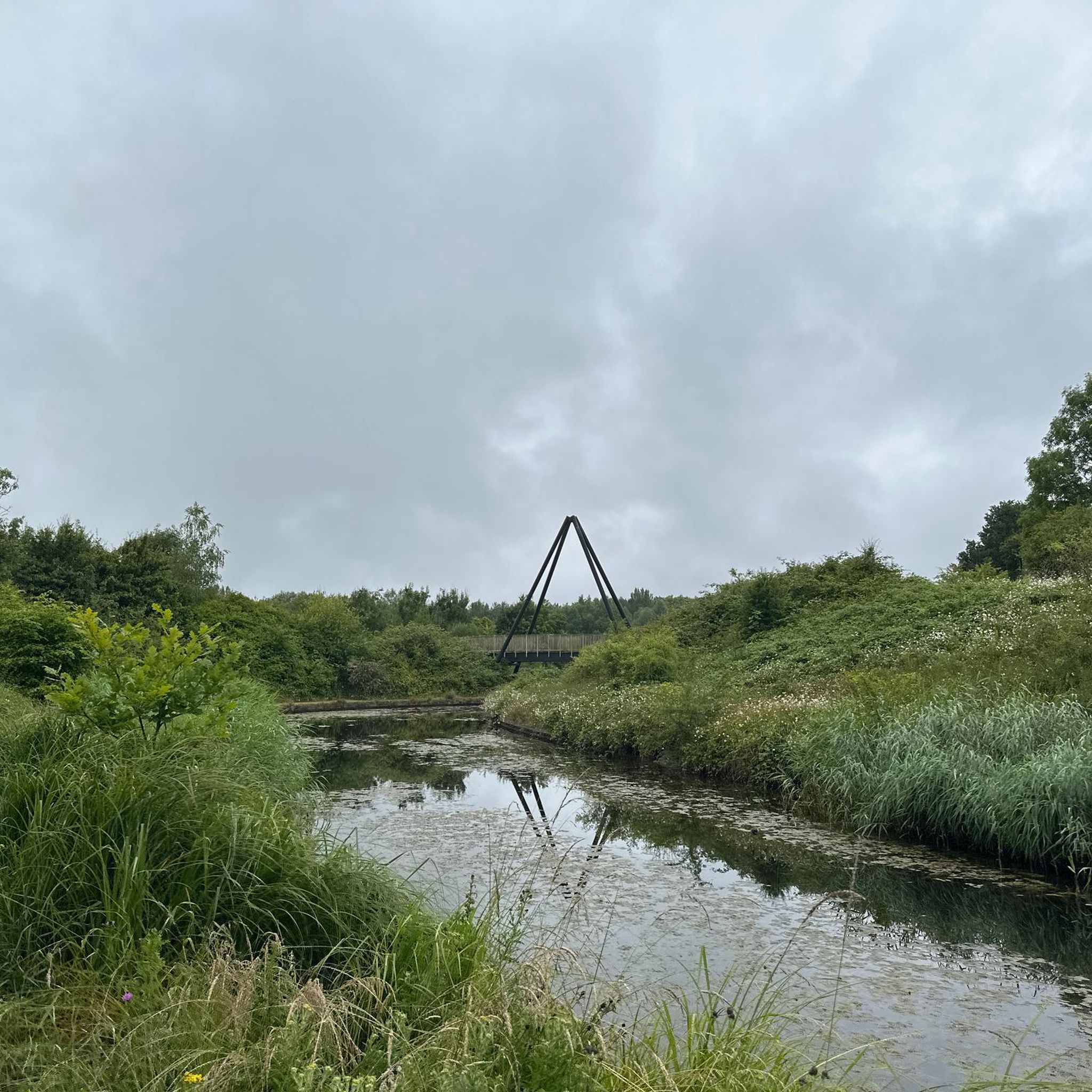
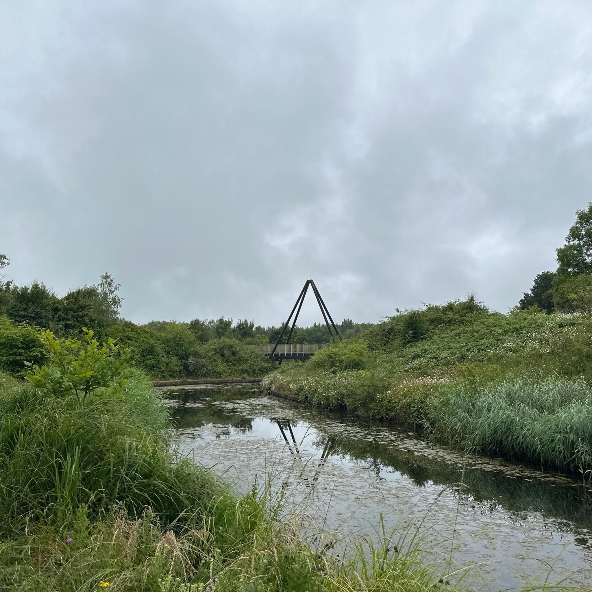

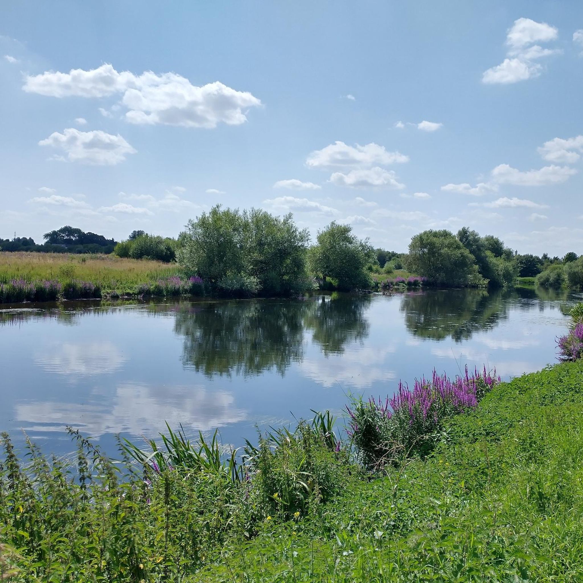
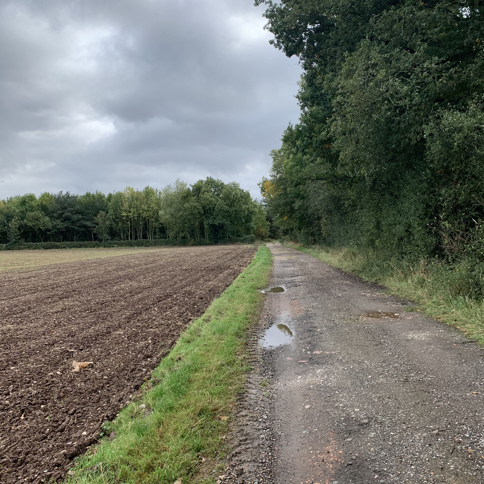
Tips from the Community

a great place to walk round - just wish it had a dinner / pub overlooking the lake
0
0

Lovely trail throughout all seasons of the year!
1
0

Former opencast mine now a scenic large central lake surrounded by paths for enjoyable walking.
0
0


The Honey Pot is no longer trading
0
0
Frequently Asked Questions
How many running routes are available around Lullington?
Komoot offers over 400 running routes around Lullington, catering to various preferences and fitness levels. These include a mix of easy, moderate, and some more challenging trails.
What kind of terrain can I expect on the jogging routes in Lullington?
The jogging routes around Lullington, primarily in South Derbyshire, traverse a landscape characterized by rolling agricultural fields, semi-wooded areas, and riverside paths along the River Mease and Seal Brook. The terrain often features sand and gravel glacial deposits, with generally gentle elevation changes, making it suitable for various running abilities.
Are there easy running routes suitable for beginners or families in Lullington?
Yes, Lullington offers a good selection of easy running routes. For instance, the Greenheart Lake loop from Rosliston is an easy 2.5-mile (3.9 km) trail that takes about 25 minutes to complete, perfect for a relaxed run or a family outing.
Are there any circular running routes in Lullington?
Many of the running routes in Lullington are circular, allowing you to start and finish at the same point. Popular options include the Greenheart Lake loop from Rosliston and the Conkers Parkrun Canal Path loop from Castle Gresley, which offers a longer circular experience.
What do other runners enjoy most about jogging in Lullington?
The running routes in Lullington are highly rated by the komoot community, with an average score of 4.0 stars from over 30 reviews. Runners often praise the serene environment, the picturesque views across the Trent valley, and the variety of paths through agricultural and semi-wooded settings.
Are there any scenic viewpoints or landmarks along the running trails?
Yes, the Lullington area offers picturesque scenery. In Lullington Village, South Derbyshire, the 'Lullington Spud' (the church spire) is a notable landmark visible from various points. Distant views from the cricket pitch overlook the lowland landscape of the Trent valley, providing pleasant scenery for outdoor enthusiasts. While not directly on the routes, nearby attractions like Moira Furnace and Canal or Ashby de la Zouch Castle offer interesting points of interest in the wider region.
Can I find dog-friendly running routes in Lullington?
Many of the trails through the agricultural and semi-wooded landscapes around Lullington are suitable for running with dogs. It's always recommended to keep dogs on a lead, especially near livestock or in nature reserve areas, and to check local signage for specific restrictions.
What is the best time of year for running in Lullington?
Lullington offers enjoyable running experiences throughout the year. Spring and summer bring lush greenery and warmer temperatures, while autumn showcases beautiful foliage. If you venture to Lullington Heath in East Sussex, August is particularly stunning when the chalk heath turns a glorious pink with heather flowers. Always be prepared for varying weather conditions, especially in winter.
Are there running routes with parking available in Lullington?
While specific parking details for every route are best checked on individual komoot tour pages, many routes around Lullington start from villages or popular recreational areas where parking facilities are typically available. For example, routes originating from Rosliston or Castle Gresley often have convenient access to parking.
What are some longer, more challenging running options in the Lullington area?
For those seeking a longer run, the Conkers Parkrun Canal Path loop from Castle Gresley is an 8.5-mile (13.7 km) moderate trail that leads through canal paths and parkland. Another moderate option is the Running loop from Castle Gresley, which covers 6.5 miles (10.5 km) with varied terrain and gentle ascents.
Are there any running routes that pass by water features?
Yes, the Lullington area in South Derbyshire is characterized by the presence of the River Mease and Seal Brook. Many running paths follow these waterways, offering pleasant riverside sections. The Conkers Parkrun Canal Path loop from Castle Gresley, for instance, specifically includes canal paths.
What kind of wildlife might I encounter while running in Lullington?
In the South Derbyshire area, you'll primarily experience a rural agricultural landscape with associated wildlife. If you were to explore Lullington Heath National Nature Reserve in East Sussex, you could encounter a rich variety of insects and butterflies, such as speckled wood and marbled white, along with birds and mammals like dormice, weasels, stoats, foxes, and badgers.
Most popular attractions around Lullington

Get inspired with the komoot mobile app


Explore more
Browse the best Running Trails & Routes in other regions.
