The best walks and hikes around Bühnsdorf
4.4
(4756)
17,681
hikers
503
hikes
Hiking around Bühnsdorf offers a variety of trails through woodlands and open landscapes. The region features gentle elevations and includes natural elements like ravines and forest paths. These routes provide opportunities to explore the local environment, including areas like the Heidekamper Wohld.
Best hiking trails around Bühnsdorf
- The most popular hiking route is Wooden Rest Area – View of the Piepenbek Ravine loop from Heidekamp, a 4.8 miles (7.7 km) trail that takes 1 hour 58 minutes to complete.…
Last updated: July 5, 2026
4.7
(21)
64
hikers
Easy hike. Great for any fitness level. Easily-accessible paths. Suitable for all skill levels.
4.9
(12)
33
hikers
3.67km
00:56
10m
10m
Easy hike. Great for any fitness level. Easily-accessible paths. Suitable for all skill levels.

Sign up for free
4.9
(8)
17
hikers
4.07km
01:02
10m
10m
Easy hike. Great for any fitness level. Easily-accessible paths. Suitable for all skill levels.
4.9
(8)
16
hikers
4.04km
01:02
10m
10m
Easy hike. Great for any fitness level. Easily-accessible paths. Suitable for all skill levels.
4.5
(2)
14
hikers
Easy hike. Great for any fitness level. Easily-accessible paths. Suitable for all skill levels.
Get access to more routes and recommendations from other explorers.
Sign up for free
Already have an account?
Our route recommendations are based on thousands of hikes, rides, and runs completed by other people on komoot.
Start today with a free account
Your next adventure awaits.
Login or Signup
Tips from the Community

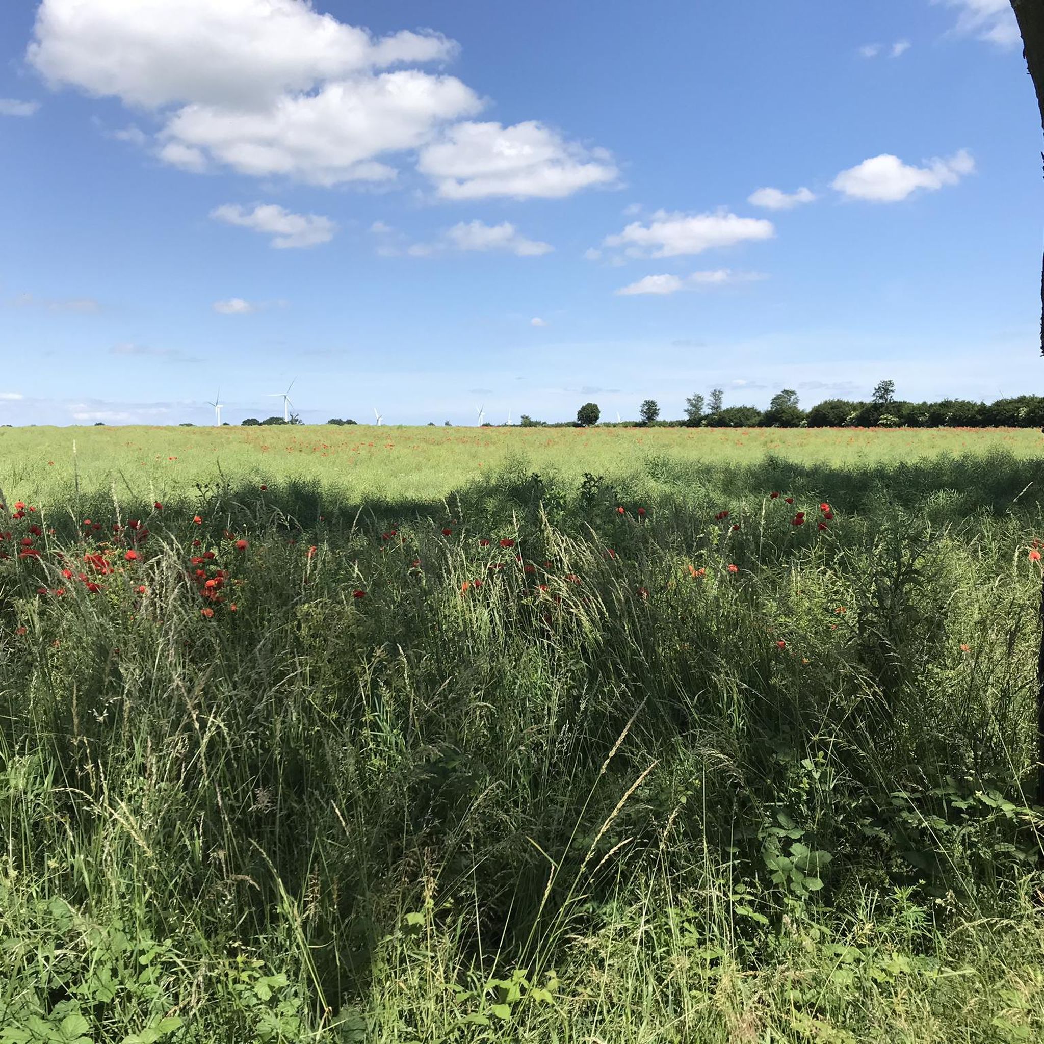
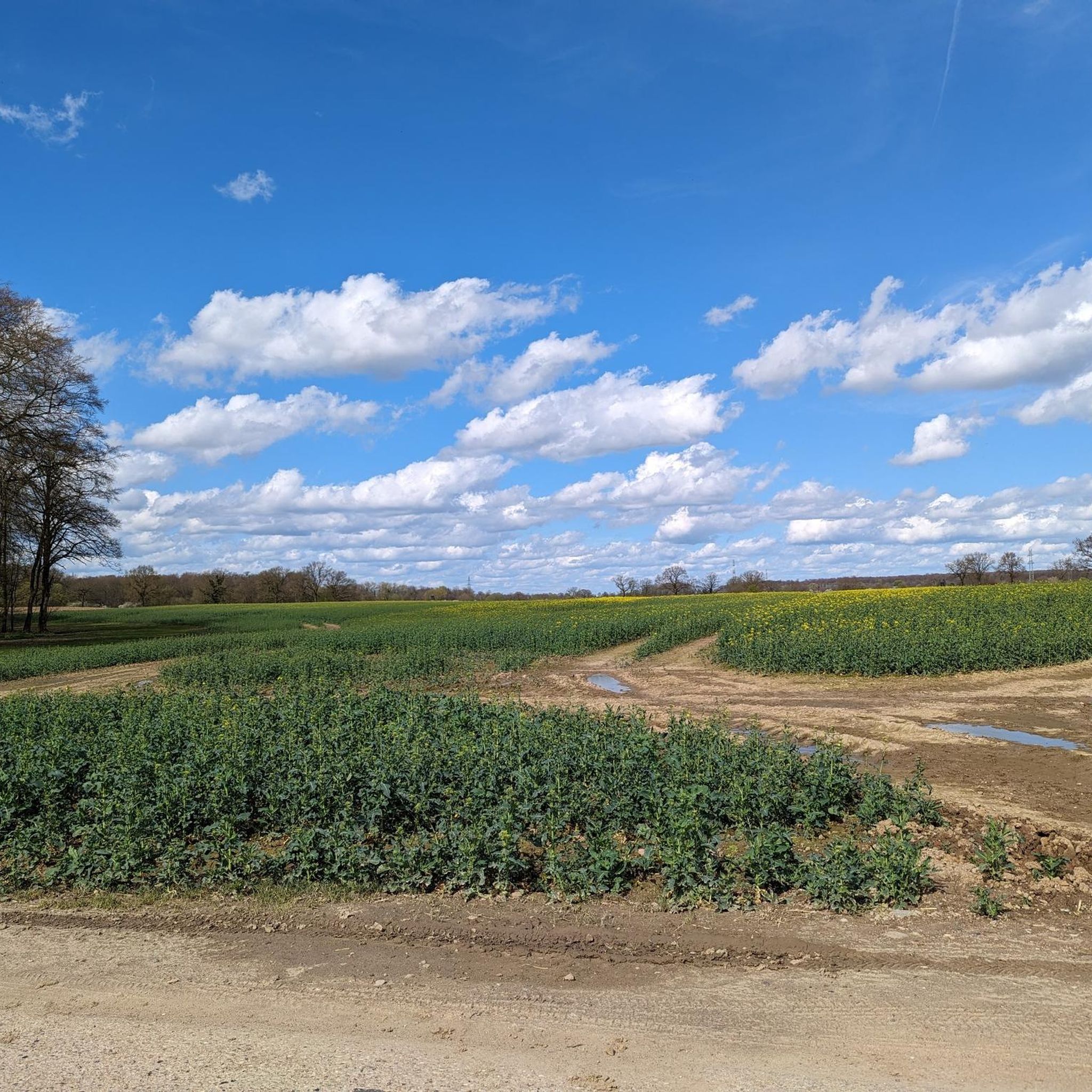
Even if in some places the blackberries are about to overgrow the path and there is a short (~10m) section with a narrow dirt path, the path itself is not overgrown. The path seems to be used by riders, among others. But it's also nice to walk on. However, an overgrown path branches off from this path.
0
0

Small parking lot is available in the forest
0
0

These are abandoned explosives bunkers from the Cold War era. Each one could contain up to 5 tons of explosives, secured behind three to four armored doors. These depots were unguarded but regularly checked. The military strategy at the time was to delay the advance of an invading enemy as effectively as possible. The most common barriers were blast shafts, which were sunk into strategically important roads and bridges during construction. The initially empty shafts could be quickly filled with explosives from such nearby depot bunkers. This meant that the road or bridge could be blown up and rendered impassable "if necessary." Until the 1990s, there were around 6,000 such barriers throughout West Germany. Since then, these barriers have been abandoned and, in many places, dismantled.
0
0
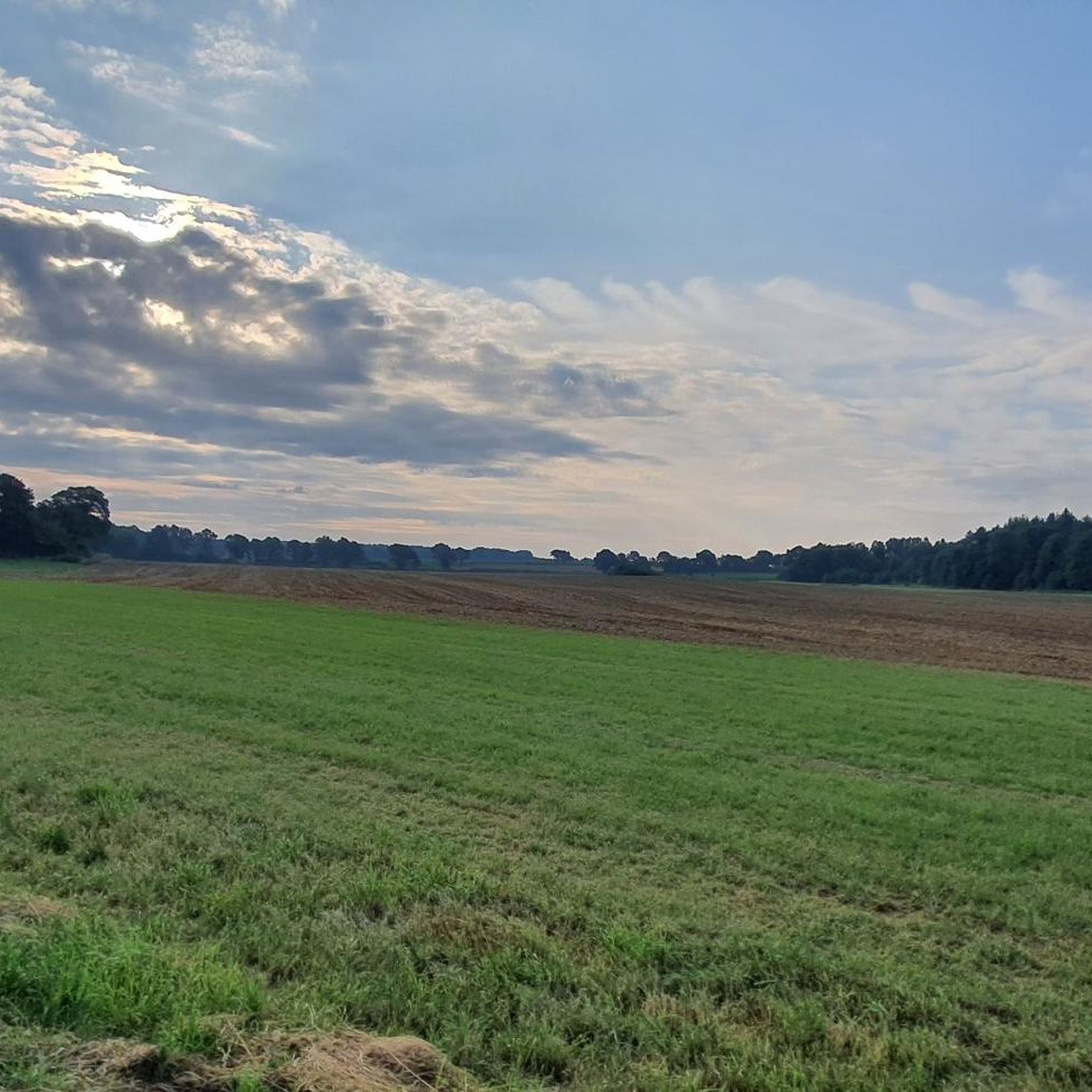
From the bench, the gaze sweeps over a flat meadow, where the "Oberteich" once spread out, drained around 1840. In the middle of the meadow, a small thicket can still be seen, hiding the meager remnant of the former Oberteich, fed by the Piepenbek coming from the direction of Voßkaten. This pond was one of over 60 fish ponds that the Cistercian monks of the former Reinfeld monastery created in the 12th century.
1
0

Beautiful, protected place for the bats...
8
0

Largely forgotten after the end of the Cold War, shelters have been on everyone's lips again since the Russian invasion of Ukraine. There are no such public shelters in Stormarn today. What has become of the bunkers in the district? Once a storage place for ammunition, now home to bats 🦇🦇🦇
5
0

The large stone graves near Reinfeld were originally two megalithic grave complexes from the Neolithic Funnel Beaker culture near Reinfeld. The preserved grave bears the Sprockhoff number 286 and the site number Reinfeld LA 3. It was archaeologically examined by Friedrich Knorr in 1919 and again in 1936 by Fritz Tischler. A restoration then took place. The destroyed grave has the site number Reinfeld LA 14. The grave is located north of Reinfeld on the edge of a forest. It stands on a hilltop and can be reached via a path. The complex has an east-west oriented burial chamber. The length is 5.5 m outside and 3.8 m inside, the width is 2.5 m outside and 1.2 m inside. During the excavations, four wall stones were found on the northern long side and two on the southern long side, as well as one end stone on each of the narrow sides. Three capstones had fallen inside the chamber. They were placed back on the wall stones during the restoration. To the east of the chamber there were two stones that could not be assigned with certainty. The spaces between the wall stones were originally filled with dry masonry made of split stones. Tischler was still able to find remnants of this between the two easternmost stones on the north side. The chamber plaster consisted of two layers. There was initially a layer of stone slabs on the natural ground. A few pieces of burned flint were found between the floor and the stone slabs. Above this was a layer of loamy sand about 30 cm thick, some of which was interspersed with split stones. This was followed by a 40 cm thick backfill of humus soil. It is unclear where the original entrance to the chamber was. Therefore, the exact type of grave cannot be determined with certainty. Due to the size of the chamber and the number of wall stones, it must have been either a large dolmen or a passage grave. No burial remains or grave goods were found during the excavations. Apparently two ceramic vessels were recovered sometime before 1921 and taken to the Museum of Patriotic Antiquities in Kiel. However, corresponding file notes are missing. According to a legend, grave LA 3 was the dwelling of a giant. One day he went to Nütschau and was killed by another giant. https://de.wikipedia.org/wiki/Gro%C3%9Fsteingr%C3%A4ber_bei_Reinfeld
3
0

Tall grass, a bit overgrown, damp ground, partly swampy. You can get through it quite well, but I picked up three ticks off my pants after this section - I would avoid this trail!
1
0
Frequently Asked Questions
How many hiking trails are available around Bühnsdorf?
Bühnsdorf offers a wide selection of hiking opportunities, with over 500 routes available. These trails range from easy strolls through woodlands to more challenging paths, ensuring options for various fitness levels.
Are there many easy hiking trails suitable for beginners in Bühnsdorf?
Yes, Bühnsdorf is very beginner-friendly. Over 350 of the available routes are rated as easy, featuring gentle elevations and well-maintained forest paths. A good example is the Forest trail near Lübeck – Dark Forest loop from Bahrenhof, which is an easy 2.3-mile (3.7 km) path through dense forest.
Can I find circular hiking routes around Bühnsdorf?
Many of the hiking routes around Bühnsdorf are designed as circular paths, allowing you to start and end at the same point. For instance, the Wooden Rest Area – View of the Piepenbek Ravine loop from Heidekamp is a popular 4.8-mile (7.7 km) loop that offers scenic views.
What do other hikers say about the trails in Bühnsdorf?
The hiking trails in Bühnsdorf are highly regarded by the komoot community, boasting an average rating of 4.4 out of 5 stars from over 4,600 reviews. Hikers frequently praise the peaceful woodlands, the well-marked paths, and the natural beauty of areas like the Piepenbek Ravine.
Are there any family-friendly hiking options in Bühnsdorf?
Yes, Bühnsdorf has several family-friendly trails, often characterized by their easy difficulty and shorter distances. The gentle terrain and natural surroundings make them suitable for walks with children. The Heidekamper Wohld loop from Oberer Herrenteich is a pleasant 2.5-mile (4.1 km) route through woodlands that families often enjoy.
Are dogs allowed on the hiking trails in Bühnsdorf?
Generally, dogs are welcome on the hiking trails around Bühnsdorf, especially in the numerous forest and woodland areas. It's always advisable to keep your dog on a leash, particularly in nature reserves or areas with wildlife, and to respect local signage.
What kind of natural attractions can I see along the hiking trails?
The trails around Bühnsdorf offer glimpses of various natural attractions. You can explore areas like the Heidekamper Wohld, discover ravines such as the Piepenbek Ravine, and enjoy the serene atmosphere of the region's woodlands. Nearby, you can also find the Brenner Moor Nature Reserve.
Are there any historical or cultural landmarks near the hiking routes?
While the hiking routes themselves focus on natural landscapes, there are cultural points of interest nearby. For example, the Nütschau Monastery is an accessible landmark in the vicinity that offers a glimpse into the region's heritage.
What is the best time of year to go hiking in Bühnsdorf?
Bühnsdorf offers enjoyable hiking experiences throughout the year. Spring brings lush greenery and blooming flora, while autumn showcases vibrant fall colors in the woodlands. Summer is ideal for longer days, and even winter can be beautiful with crisp air and potentially snow-covered landscapes, though some paths might be muddy.
Are there options for longer hikes in Bühnsdorf?
While many routes are shorter, Bühnsdorf also provides options for longer hikes by combining trails or exploring the extensive network of paths. The longest of the popular routes, the Wooden Rest Area – View of the Piepenbek Ravine loop from Heidekamp, covers 4.8 miles (7.7 km), and many other routes can be linked for extended adventures.
Is there public transport access to the hiking trails in Bühnsdorf?
Public transport options to Bühnsdorf and its surrounding areas are available, though they might require some planning depending on your starting point. It's recommended to check local bus schedules to see which routes serve the villages and trailheads closest to your desired hiking area.
Where can I park my car when hiking in Bühnsdorf?
Parking is generally available in or near the villages and at designated trailheads around Bühnsdorf. Look for public parking areas in places like Heidekamp or Bahrenhof, which serve as common starting points for many of the popular hiking routes.
Most popular routes around Bühnsdorf
Most popular attractions around Bühnsdorf

Get inspired with the komoot mobile app


Explore more
Browse the best Hikes in other regions.
