The best walks and hikes around Ashley
4.4
(237)
1,829
hikers
210
hikes
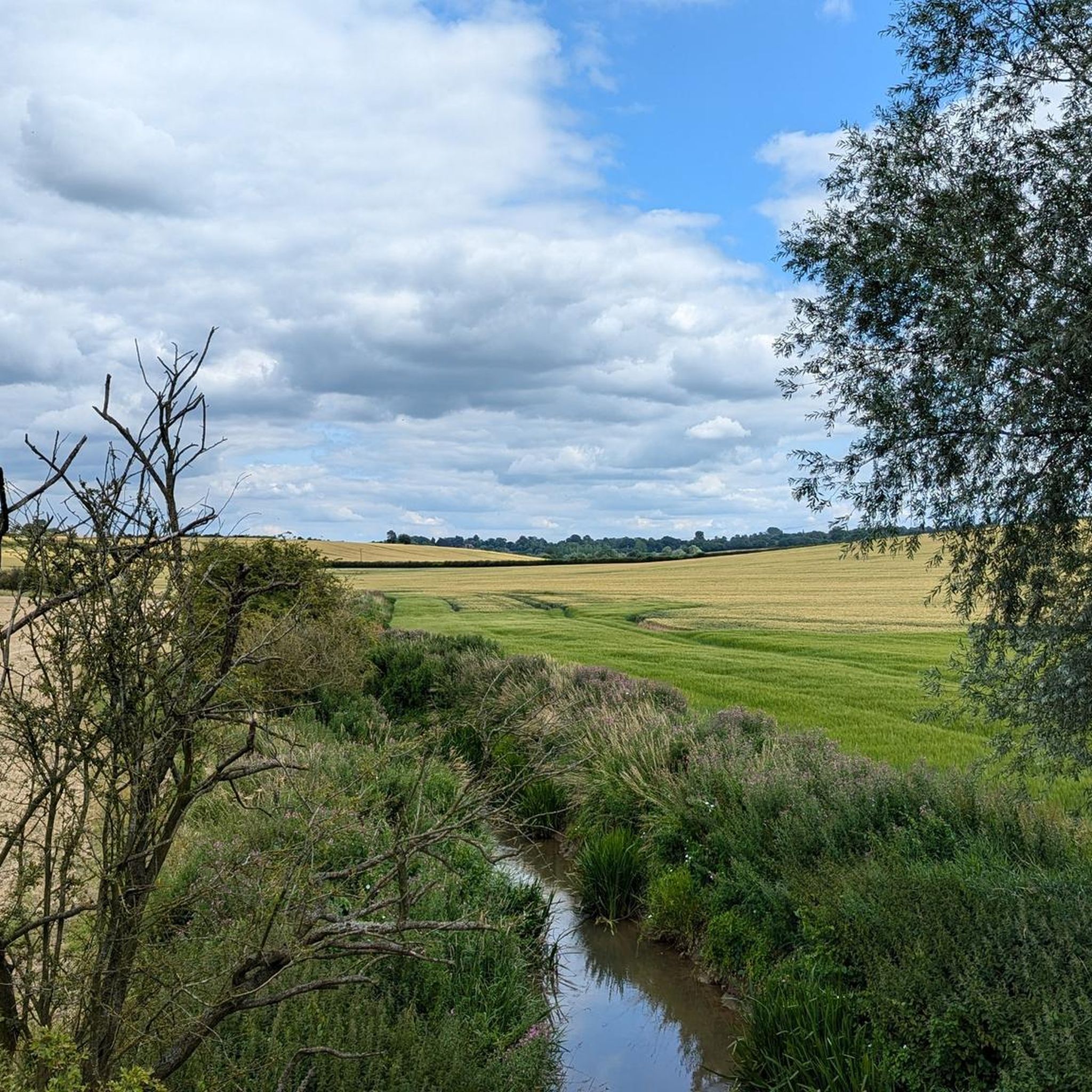
Hikes around Ashley explore the rolling countryside of the East Midlands. The landscape is characterized by gentle hills, open fields, and quiet country lanes connecting small villages. These routes offer a mix of pastoral scenery and paths through small woodlands, typical of the rural English landscape.
Best hiking trails around Ashley
- The most popular hiking route is The George at Ashley – The Milking Parlour Tearooms loop from Ashley, a 6.1 mile (9.8 km) trail that takes about 2…
Last updated: July 2, 2026
4.7
(13)
53
hikers
7.37km
02:02
130m
130m
Moderate hike. Good fitness required. Easily-accessible paths. Suitable for all skill levels.
4.3
(3)
16
hikers
13.4km
03:38
170m
170m
Moderate hike. Good fitness required. Easily-accessible paths. Suitable for all skill levels.

Sign up for free
4.0
(1)
6
hikers
9.85km
02:40
130m
130m
Moderate hike. Good fitness required. Easily-accessible paths. Suitable for all skill levels.
8
hikers
5.35km
01:27
70m
70m
Easy hike. Great for any fitness level. Easily-accessible paths. Suitable for all skill levels.
4.5
(2)
4
hikers
9.21km
02:27
100m
100m
Moderate hike. Good fitness required. Easily-accessible paths. Suitable for all skill levels.
Get access to more routes and recommendations from other explorers.
Sign up for free
Already have an account?
Our route recommendations are based on thousands of hikes, rides, and runs completed by other people on komoot.
Start today with a free account
Your next adventure awaits.
Login or Signup

Other adventures around Ashley

Tips from the Community

Wonderful view of the Nevill Holt Estate where they hold the Nevill Holt Operas which has amazing views over the surrounding countryside. Also has a beautiful large scale statue of a horse's head in the grounds.
0
0

Heading south starts as gravel climb, then grassy field down to a shaded wood which can be wet. From there a hoofey steep climb up to a flat run through a corn field. Hard work but you get to enjoy the descent!
0
0
Super rutted and hoofey, very hard work, and an overgrown hedge to force your way through. Don't often say this but stick to the road
0
0

The footpath goes through an arch under a house on the main street.
0
0

Amazing church built in the Norman period and extended repeatedly to accommodate the thousands of medieval pilgrims visiting or passing the thriving town of Hallaton.
0
0
Half gravel half grass. Grass section not great in wetter months
0
0

Very nice tea rooms, need to check opening days/times. After 8 mile walk shame it was closed
0
0
Frequently Asked Questions
Are the hiking trails around Ashley suitable for dogs?
Yes, many trails in the Ashley area are suitable for walking with dogs. The routes often cross open farmland and use public footpaths where dogs are welcome. However, you will likely encounter livestock, so it's essential to keep your dog on a lead, especially in fields with sheep or cattle. Always follow the countryside code and respect local signage.
What are some good family-friendly walks in the area?
The region offers many options for families. For a shorter, easier outing, consider the The George at Ashley loop from Ashley. It's a relatively flat 5.3 km walk that's manageable for most ages and abilities. The paths through gentle hills and fields provide a pleasant introduction to the local scenery without being too strenuous.
Are most of the walks circular or do I need to retrace my steps?
The majority of popular routes around Ashley are circular, or 'loop' trails. This means you can start and finish in the same location, which is convenient for parking. These routes are designed to showcase a variety of scenery, taking you through fields, woodlands, and quiet lanes without needing to backtrack.
What is the terrain like on the trails near Ashley?
The landscape is characterized by the rolling countryside of the East Midlands. Expect gentle hills, open fields connected by public footpaths, and walks along quiet country lanes. The trails are typically a mix of grassy paths, farm tracks, and some paved sections through villages. There are no steep mountains or rugged peaks in the immediate area.
How many hiking trails are available around Ashley?
There are over 230 hiking routes to explore around Ashley. These range from short, easy strolls to more moderate-length walks, offering plenty of options for different fitness levels and time commitments.
What do other hikers say about the routes in Ashley?
The area is highly regarded by the komoot community. Reviewers often praise the peaceful pastoral scenery, the quiet country lanes, and the well-defined paths through the rolling fields. The mix of easy and moderate routes makes it a popular choice for a relaxing day out.
Are there any challenging or difficult hikes in the area?
While the region is not known for difficult mountain ascents, you can find some more challenging options. For a longer, more demanding walk, consider the Nevill Holt Estate loop from Medbourne. At over 9 km with some elevation gain, it provides a good workout while still showcasing the area's characteristic rolling hills and farmland.
Where can I park to start a hike?
Many walks begin in or near the villages of Ashley and Medbourne. You can typically find on-street parking in these villages, but please park considerately. Some routes are designed to start and end near a local pub, like The George at Ashley or The Bewicke Arms in Medbourne, which may offer parking for patrons.
Can I get to the trailheads using public transport?
Accessing the start of the trails via public transport can be challenging as Ashley is a rural area. Bus services are limited and may not run frequently, especially on weekends. It is generally more convenient to travel to the area by car to have the flexibility to reach different trailheads.
Are there any trails with waterfalls near Ashley?
The local geography, characterized by gentle, rolling hills and pastoral landscapes, does not feature any significant waterfalls. The hikes here focus on exploring the quiet English countryside, woodlands, and charming villages rather than dramatic water features.
What kind of wildlife might I see while hiking?
While hiking the paths around Ashley, you can expect to see wildlife typical of the English countryside. Look for common bird species in the hedgerows and woodlands, such as pheasants and red kites. You may also spot rabbits, foxes, and deer, particularly during quieter times of the day like early morning or dusk.
Most popular attractions around Ashley

Get inspired with the komoot mobile app


Explore more
Browse the best Hikes in other regions.
