The best road cycling routes around Maltby
4.4
(165)
4,586
riders
13
rides
Road cycling around Maltby, UK, features routes through rural landscapes and green belts, characteristic of South Yorkshire. The terrain often includes gentle ascents and descents, providing varied challenges for cyclists. Riders can expect to encounter historical sites and expansive parklands, with some routes incorporating cycleways like those near the Conisbrough Viaduct. The area offers a mix of paved surfaces suitable for road bikes, traversing through countryside settings.
Best road cycling routes around Maltby
- The most popular road cycling route is…
Last updated: October 12, 2026
5.0
(6)
38
riders
32.7km
01:38
240m
240m
Easy road ride. Great for any fitness level. Mostly well-paved surfaces and easy to ride.
3.0
(1)
12
riders
29.5km
01:17
180m
180m
Easy road ride. Great for any fitness level. Mostly well-paved surfaces and easy to ride.

7
riders
27.9km
01:31
310m
310m
Moderate road ride. Good fitness required. Some segments of this route may be unpaved and difficult to ride.
10
riders
20.2km
01:03
200m
200m
Easy road ride. Great for any fitness level. Mostly well-paved surfaces and easy to ride.
9
riders
55.4km
02:27
420m
420m
Moderate road ride. Good fitness required. Mostly well-paved surfaces and easy to ride.
Get access to more routes and recommendations from other explorers.
Already have an account?
Our route recommendations are based on thousands of hikes, rides, and runs completed by other people on komoot.
Start today with a free account
Your next adventure awaits.
Other adventures around Maltby

Tips from the Community


This is a CASH ONLY cafe, No Cards and No Applepay. Remember to bring some cash with you 👍👍
0
0

Little farm shop selling self produced goods. Very tasty, it's a rustical setting, just off the road, plenty of place to sit outside and enjoy a brew and a piece of very tasty home made cake! 😊
0
0

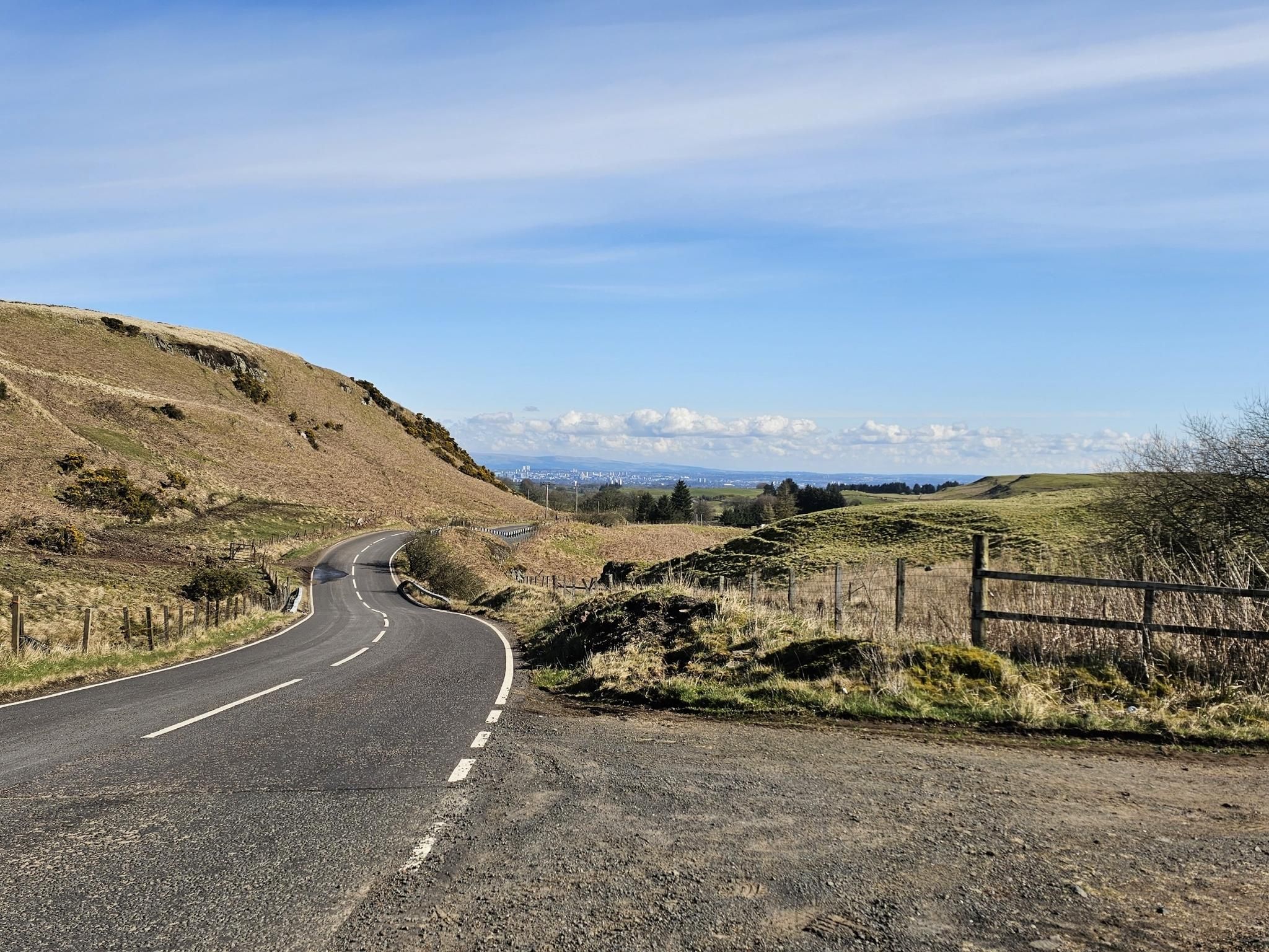
June 2025 - they've covered the road with chip and seal which is very loose and has formed mounds in places. It's not too bad going up but wouldn't recommend a descent.
0
0

The first reference dates from 1482, when it was one of a number of churches placed under the ecclesiastical authority of York by Archbishop Thomas Rotherham. At this time the church was dedicated to St Peter but the dedication was changed much later in history, possibly to distinguish it from the nearby church of St Peter at Letwell. The old church was demolished in 1820, and rebuilt by the Galley-Knight family, who owned the Firbeck Estate from the late 18th century to the mid 19th century. Further work took place in 1844, when a north aisle was added to house the organ and the vestry. Finally, in 1900, a new tower was built to replace the one built in 1820. The church has several fine stained glass windows and interesting hatchments and monuments, including some to the St Leger family. Anthony St Leger was the founder of the famous race in 1776 and the original racecourse was in an oval field above the village near the St Leger’s home, Park Hill Hall.
0
0

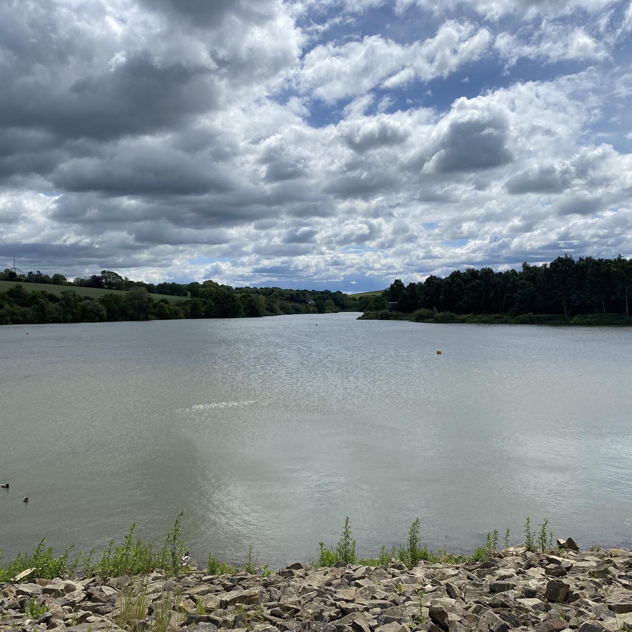
King’s Wood Lane is a peaceful, open road that forms part of the Rotherham Local Cycle Network, connecting King’s Wood with Laughton-en-le-Morthen. Be sure to stop by the café at Leger Lakes, just before reaching Laughton-en-le-Morthen.
0
0
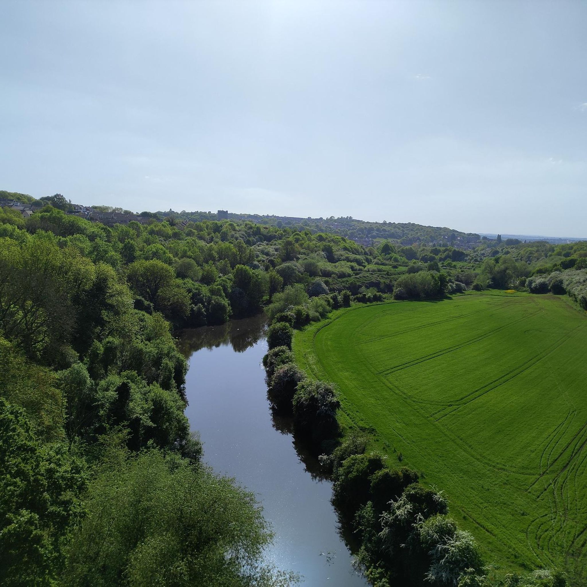
This is a Very quiet lane, stop on the bridge and take in the views, very interesting to see the sheer scale & size of the quarry.
0
0
Frequently Asked Questions
How many road cycling routes are available around Maltby?
There are over 440 road cycling routes available around Maltby, catering to various skill levels. You'll find a wide selection, from easy rides to more challenging excursions.
What are the general difficulty levels of road cycling routes in Maltby?
The routes around Maltby offer a good mix of difficulty levels. Approximately 120 routes are considered easy, over 280 are moderate, and around 38 routes are more difficult, providing options for all experience levels.
What kind of terrain can I expect on road cycling routes near Maltby?
Road cycling around Maltby, UK, primarily features routes through rural landscapes and green belts characteristic of South Yorkshire. You can expect a mix of paved surfaces, gentle ascents, and descents. Some routes may incorporate cycleways, such as those near the Conisbrough Viaduct, offering varied scenery.
Are there easy road cycling routes suitable for beginners in Maltby?
Yes, Maltby offers a good selection of easy road cycling routes perfect for beginners. For instance, the Firbeck Dike – Stone Archway loop from Braithwell is an easy 15.2-mile path that winds through scenic countryside. Another easy option is the High Common Trig Point – Go Outdoors Shop loop from Braithwell, which covers about 34.8 kilometers.
Are there challenging climbs for experienced road cyclists in the Maltby area?
While many routes feature gentle ascents, some offer more significant climbs. The View of Ughill Wind Turbines – Bib Lane Climb loop from Maltby, for example, includes a notable climb and varied terrain over its 17.3 miles, providing a moderate challenge for those looking for more elevation.
What historical sites or natural features can I see along road cycling routes in Maltby?
The Maltby area is rich in historical sites and natural beauty. You might encounter the ancient Dead Man's Hole, explore the woodlands of Anston Stones Wood, or pass by the impressive Sprotbrough Weir. The region's green belts and rural landscapes also offer plenty of natural scenery.
Are there any scenic viewpoints on the road cycling routes around Maltby?
Yes, you can find scenic viewpoints along the routes. For example, the View of Ughill Wind Turbines – Bib Lane Climb loop from Maltby offers views towards wind turbines. Additionally, you might find picturesque spots like The Crags, which provides excellent vistas.
Are there circular road cycling routes available in Maltby?
Many of the road cycling routes around Maltby are designed as loops, allowing you to start and finish in the same location. Examples include the popular H's Cafe & Deli, Tickhill – Stream Crossing on Byway loop from Maltby and the Firbeck Hall – Leger Lakes Fishing Ponds loop from Firbeck.
What do other cyclists say about road cycling in Maltby?
The road cycling routes in Maltby are highly rated by the komoot community, holding an average score of 4.4 stars from over 150 reviews. Cyclists often praise the varied terrain, the mix of rural roads, and the scenic countryside views.
Are there places to stop for refreshments like cafes or pubs along the routes?
Yes, many routes are designed to pass through or near villages and towns where you can find cafes and pubs. The route H's Cafe & Deli, Tickhill – Stream Crossing on Byway loop from Maltby, for instance, suggests a stop at H's Cafe & Deli in Tickhill, indicating that refreshment stops are often integrated into the cycling experience.
What are the parking options for cyclists near Maltby's road cycling routes?
While specific parking facilities for each route are not detailed, many routes start from Maltby itself or nearby villages. It's generally advisable to look for public parking in these starting locations. For routes that venture into broader Rotherham, consider checking local council websites for parking information.
Is public transport accessible for reaching road cycling routes in Maltby?
Maltby is located within South Yorkshire, which has a public transport network. While direct access to specific route starting points by public transport might vary, you can often reach Maltby or nearby towns via bus services. For detailed information on public transport options, it's best to consult local transport authority websites for routes and schedules.
Most popular attractions around Maltby

Get inspired with the komoot mobile app


Explore more
Browse the best Road cycling routes in other regions.
