The best walks and hikes around Ballygowan
4.6
(13)
279
hikers
19
hikes
Hiking trails around Ballygowan, County Down, Northern Ireland, traverse a tranquil rural setting characterized by diverse natural landscapes. The region features accessible forest parks, serene reservoir shorelines, and gentle hills, offering varied terrain for outdoor activities. Key natural attractions include the expansive Strangford Lough to the east, dense woodlands like Killynether Wood and Ballyboley Forest, and the peaceful Killylane Reservoir. These features provide a range of environments for hikers to explore.
Best hiking trails around Ballygowan
- The most popular hiking route is Causeway Coast and Glens - 7 - Woodburn Forest, an easy 3.7 miles (6.0 km) trail that takes 1 hour 36 minutes to complete. This route explores the established paths within Woodburn Forest.
- Another top favourite among local hikers is Killylane Reservoir & Ballyboley Forest loop, a moderate 5.4 miles (8.7 km) path. This trail combines the tranquil shores of Killylane Reservoir with the woodlands of Ballyboley Forest.
- Local hikers also love the Ballyboley Forest – Ballyboley Forest loop from Glenwhirry River, a 4.7 miles (7.6 km) trail leading through Ballyboley Forest, often completed in about 2 hours 5 minutes.
- Hiking around Ballygowan is defined by accessible forest parks, reservoir shorelines, and gentle hills. The network offers options for different ability levels, from easy strolls to more moderate excursions.
- The routes in Ballygowan are highly rated by the komoot community with an average score of 4.7 stars from over 10 reviews. More than 300 hikers have used komoot to explore Ballygowan's varied terrain.
Last updated: November 9, 2026
5.0
(3)
37
hikers
6.01km
01:36
70m
70m
31
hikers
8.72km
02:20
100m
100m

5.0
(2)
34
hikers
7.58km
02:05
130m
130m
Moderate hike. Good fitness required. Easily walkable paths.
17
hikers
8.74km
02:20
100m
100m
Moderate hike. Good fitness required. Easily walkable paths.
11
hikers
3.84km
01:01
40m
40m
Easy hike. Easily walkable paths.
Get access to more routes and recommendations from other explorers.
Already have an account?
Our route recommendations are based on thousands of hikes, rides, and runs completed by other people on komoot.
Start today with a free account
Your next adventure awaits.
Popular around Ballygowan



Tips from the Community

Wonderfully expansive forest and the lovely Glenwhirry river as a bonus. Apparently this place is well known for having been haunted by an ancient apparition! Always the same four Druids appear. To observe, then vanish.
0
0

Woodburn Forest is a picturesque woodland area west of Carrickfergus, renowned for its diverse flora and fauna. Popular among hikers, it offers scenic trails, serene reservoirs, and abundant wildlife.
0
0

Ballyboley Forest provides a picturesque setting for an enjoyable jog. The forest features a whopping 70 different types of native tree species which tower high above the forest floor.
2
0
Killylane Reservoir is a pristine reservoir situated on open moorland near Ballyboley Forest. It's a real hidden treasure and a perfect spot for a run. You can laze along the lush green banks overlooking the water to stretch and unwind post-jog.
2
0
Killylane Reservoir is a pristine reservoir situated on open moorland near Ballyboley Forest. It's a real hidden treasure, perfect for a leisurely stroll or picnic on the lush green banks.
1
1
Ballyboley Forest provides a picturesque setting for a leisurely stroll through the southern end of the Antrim Coast & Glens Area of Natural Beauty. The forest features a whopping 70 different types of native tree species which tower high above the forest floor.
2
0

Hard packed gravel through Woodburn. Suitable and fun for all bike types.
1
0

Take your rubbish home as there are no bins around any of the dams only in the carpark
0
0
Frequently Asked Questions
What kind of terrain can I expect on hiking trails around Ballygowan?
The hiking trails around Ballygowan, County Down, offer a varied landscape, primarily characterized by accessible forest parks, tranquil reservoir shorelines, and gentle hills. You'll find well-established paths through woodlands like Ballyboley Forest and Killynether Wood, as well as routes along the serene Killylane Reservoir. The region's natural features provide a mix of environments suitable for different preferences.
Are there any easy hiking routes suitable for beginners or casual walkers?
Yes, Ballygowan offers several easy routes. For instance, the Forest Dirt Bike Trail loop from North Woodburn Reservoir is an easy option, covering about 3.8 km. In total, there are 9 easy routes available, providing gentle strolls through the area's natural beauty.
What are some scenic viewpoints or natural attractions to look out for on the trails?
Ballygowan's trails offer several scenic spots. You can enjoy expansive views across Strangford Lough, especially from trails near Killynether Wood which often lead to the historic Scrabo Tower. Other natural highlights include the serene Killylane Reservoir and the diverse Ballyboley Forest, known for its native tree species.
Are there any circular hiking routes in the Ballygowan area?
Yes, many of the trails around Ballygowan are designed as loops, offering convenient circular walks. A popular moderate option is the Killylane Reservoir & Ballyboley Forest loop, which combines tranquil shores with woodland paths. Another is the Woodburn Forest – Woodburn Reservoir loop from Anglers Car Park, also a moderate route.
Can I bring my dog on the hiking trails around Ballygowan?
Many of the forest parks and natural areas around Ballygowan are generally dog-friendly, though it's always recommended to keep dogs on a lead, especially in areas with livestock or wildlife. Specific rules can vary by location, so check local signage. The varied terrain, from woodlands to reservoir paths, provides excellent opportunities for walks with your canine companion.
What is the best time of year to go hiking in Ballygowan?
Ballygowan offers enjoyable hiking experiences throughout the year. Spring and autumn provide pleasant temperatures and beautiful scenery with changing foliage. Summer is ideal for longer days and warmer weather, while winter can offer crisp, quiet walks, though some paths might be muddy. Always check local weather forecasts before heading out.
Are there family-friendly hiking options in Ballygowan?
Absolutely. The region's accessible forest parks and gentle hills make it suitable for families. There are 9 easy routes available, many of which are well-maintained paths through woodlands like Woodburn Forest, perfect for walks with children. These trails often provide a safe and enjoyable environment for all ages.
Where can I find parking for hiking trails near Ballygowan?
Parking is generally available at the starting points or near popular trailheads for many of Ballygowan's hiking routes, especially at forest parks and reservoir access points. For example, routes like the Woodburn Forest – Woodburn Reservoir loop often have designated parking areas like Anglers Car Park.
Are there any cafes or pubs near the hiking routes in Ballygowan?
While Ballygowan itself is a charming village, many hiking routes are set in tranquil rural areas. You'll find local cafes and pubs within Ballygowan and nearby towns. It's a good idea to plan your refreshments before or after your hike, as amenities might not be directly on the trails.
How many hiking trails are available around Ballygowan?
There are over 20 hiking trails available around Ballygowan. These routes cater to various fitness levels, with 9 easy trails and 13 moderate trails, ensuring there's something for everyone to explore in the region's diverse landscapes.
What do other hikers say about the trails in Ballygowan?
The hiking trails around Ballygowan are highly regarded by the komoot community, with an average rating of 4.7 stars from over 10 reviews. Hikers often praise the tranquil rural setting, the variety of natural landscapes, and the well-maintained paths through forest parks and along reservoir shorelines.
Can I reach the trailheads using public transport?
While Ballygowan is a rural area, some public transport options may connect to the village. However, direct public transport access to specific trailheads might be limited. It's advisable to check local bus schedules and plan for potential short taxi rides or car sharing to reach more secluded starting points.
Most popular routes around Ballygowan
Most popular attractions around Ballygowan
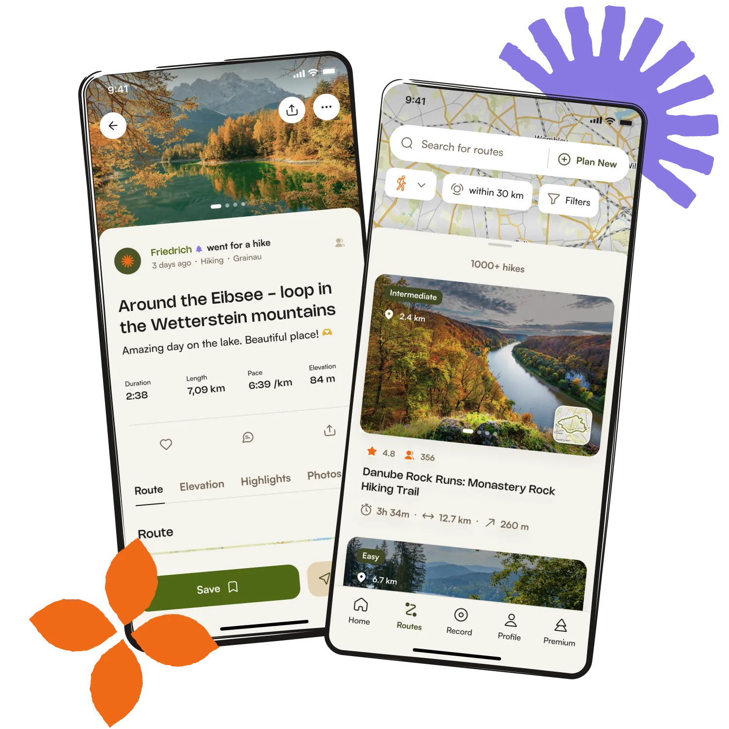
Get inspired with the komoot mobile app


Explore more
Browse the best Hikes in other regions.