The best running trails around Ipstones
4.6
(24)
1,142
runners
13
runs
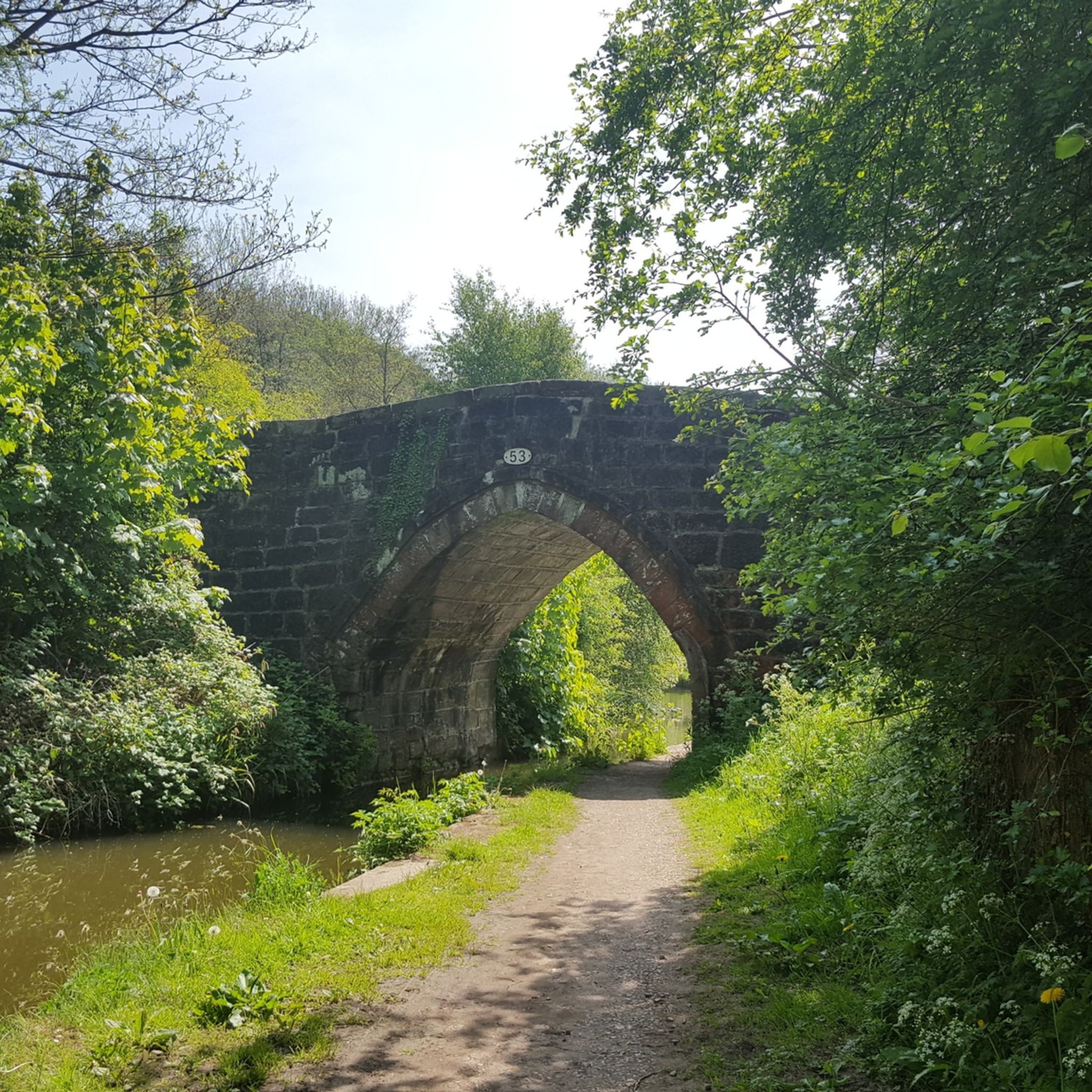
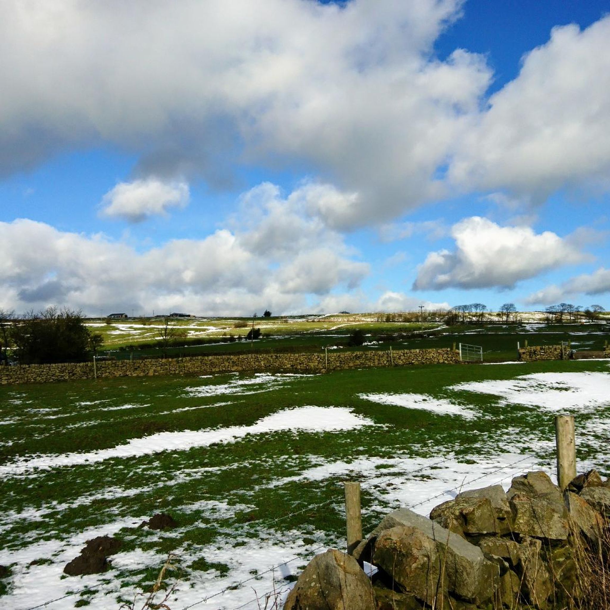
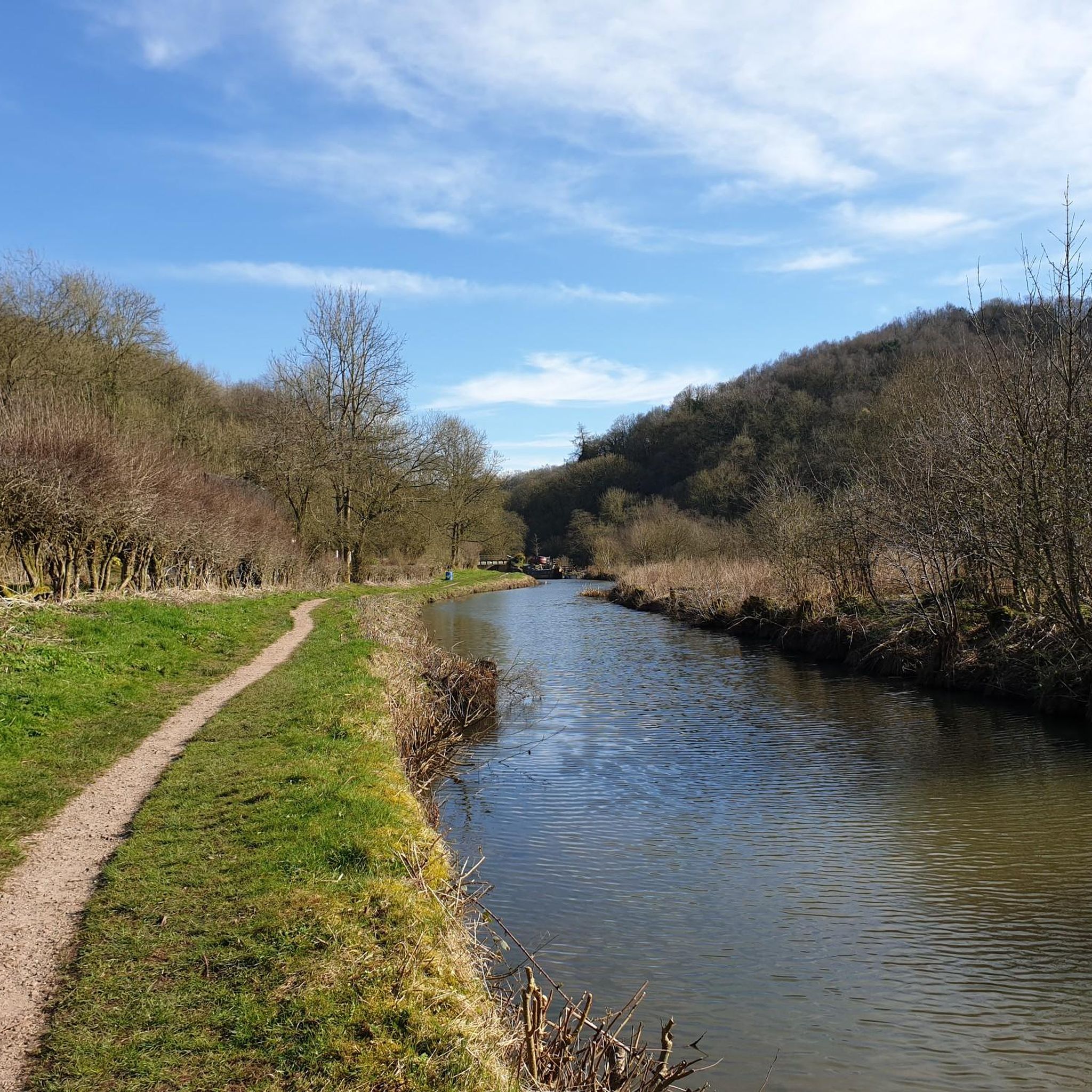
Jogging routes around Ipstones traverse a varied landscape, from rocky escarpments and river valleys to expansive moorland and woodlands. The area, situated on the edge of the Peak District National Park, features elevated terrain like Ipstones Edge, which rises to 1,250 feet (380 meters). This diverse environment provides a stimulating setting for running, with routes ranging from sheltered valley paths to more open, challenging moorland trails.
Best jogging routes around Ipstones
- The most popular jogging route is The Golden Lion Pub loop from Ipstones, a 4.7 miles (7.5 km) trail that takes about 48 minutes to complete. This moderate route offers a mix of local village and countryside running.
- Another top favourite among local runners is Ramblers Retreat – Ramblers Retreat Café loop from Froghall, a difficult 11.6 miles (18.6 km) path. This route features significant elevation gain and extends into the broader regional landscape.
- Local runners also love the Ruelow Wood – Coalpit Wood loop from Froghall, a 5.4 miles (8.7 km) trail leading through woodlands, often completed in about 1 hour.
- Jogging around Ipstones is defined by rocky escarpments, river valleys, and diverse woodlands. The network offers options for different ability levels, from moderate paths to more challenging routes.
- The routes in Ipstones are highly rated by the komoot community with an average score of 4.8 stars from more than 20 reviews. More than 1000 runners have used komoot to explore Ipstones's varied terrain.
Last updated: September 30, 2026
5.0
(1)
14
runners
18.8km
02:14
380m
380m
Hard run. Very good fitness required. Mostly paved surfaces. Suitable for all skill levels.
17
runners
Moderate run. Good fitness required. Mostly paved surfaces. Suitable for all skill levels.

12
runners
5.58km
00:36
70m
70m
Moderate run. Good fitness required. Mostly paved surfaces. Suitable for all skill levels.
2
runners
9.09km
01:02
140m
140m
Moderate run. Good fitness required. Mostly paved surfaces. Suitable for all skill levels.
3
runners
9.18km
01:09
210m
210m
Moderate run. Good fitness required. Mostly paved surfaces. Suitable for all skill levels.
Get access to more routes and recommendations from other explorers.
Already have an account?
Our route recommendations are based on thousands of hikes, rides, and runs completed by other people on komoot.
Start today with a free account
Your next adventure awaits.

Tips from the Community


Hetty's does a nice sausage and bacon barm
0
0
Easy to pass, good condition
0
0
nice stop during the hike
0
0
Clearly visible next to the path
0
0
Frequently Asked Questions
What kind of terrain can I expect on the running routes around Ipstones?
The Ipstones area, situated on the edge of the Peak District National Park, offers a diverse landscape for runners. You'll find routes traversing rocky escarpments like Ipstones Edge and The Roaches, picturesque river valleys such as the Dove and Churnet Valley, and expansive moorland, heathland, and woodlands. This variety means you can experience everything from challenging inclines with rewarding vistas to sheltered, shaded paths through forests.
Are there running routes suitable for families or beginners in Ipstones?
While many routes offer moderate challenges, the area provides options for various fitness levels. You can find easier paths, often on more stable surfaces, that are suitable for a family outing or those new to running. These routes typically feature stunning scenery and allow for a more relaxed pace.
Can I bring my dog on the running trails near Ipstones?
Yes, many trails in the Ipstones area are dog-friendly, allowing you to enjoy your run with your canine companion. However, as the region is characterized by rural charm with sheep grazing in fields, it's essential to keep dogs under control, especially near livestock. Always check local signage for specific rules regarding dogs on particular trails or nature reserves.
Are there any circular running routes available around Ipstones?
Yes, many of the running routes around Ipstones are designed as loops, offering a convenient way to start and finish in the same location. For example, The Golden Lion Pub loop from Ipstones is a popular moderate circular trail, and Sunny Bank Wood loop from Ipstones also offers a pleasant circular experience.
What are some notable natural features or landmarks I might see while running in the Ipstones area?
The region is rich in natural beauty and interesting landmarks. You might encounter dramatic gritstone escarpments like The Roaches, offering panoramic views, or explore woodlands such as Swineholes Wood. Geological formations like Thor's Cave and Reynard's Cave provide dramatic backdrops, and the mysterious Doxey Pool on The Roaches adds a touch of local folklore.
How many running routes are available in the Ipstones area?
There are over 15 dedicated running routes around Ipstones listed on komoot, offering a wide range of options for different abilities and preferences. These routes have been explored by more than 1000 runners, showcasing the area's popularity for outdoor activities.
What do other runners enjoy most about the trails in Ipstones?
The running routes in Ipstones are highly rated by the komoot community, with an average score of 4.8 stars from over 20 reviews. Runners often praise the varied terrain, from challenging moorland to sheltered woodlands, and the stunning scenery that includes wild landscapes and picturesque river valleys. The mix of surfaces also allows for diverse training experiences.
Are there any running routes that offer particularly good views?
Absolutely. Routes that venture onto higher ground, such as those around Ipstones Edge (rising to 1,250 feet) or The Roaches, provide extensive and breathtaking panoramic views across the Staffordshire Moorlands and into the Peak District National Park. These elevated sections offer rewarding vistas for your efforts.
Are there any cafes or pubs near the running routes in Ipstones?
Yes, the village of Ipstones and surrounding areas offer amenities where you can refuel or relax after your run. Some routes, like Ramblers Retreat – Ramblers Retreat Café loop from Froghall, even incorporate specific cafes into their names, indicating convenient spots for refreshments. Local pubs also provide a welcoming atmosphere.
What is the best time of year to go running in Ipstones?
The Ipstones area is beautiful year-round, but late summer is particularly stunning when swathes of purple heather bloom across the heathland habitats like Swineholes Wood and Black Heath on Ipstones Edge. Woodlands can provide cooler, shaded options during warmer weather, while the varied terrain ensures interesting runs in all seasons, though some moorland paths might be more challenging in wet or winter conditions.
How can I find parking near the running trailheads in Ipstones?
Many running routes in the Ipstones area have convenient parking options nearby. While specific parking details vary by trailhead, routes often start from or pass through villages or designated parking areas. It's advisable to check the individual route details on komoot for specific parking information before you head out.
Are there any challenging running routes for experienced runners?
Yes, for experienced runners seeking a challenge, Ipstones offers routes with significant elevation gain and longer distances. For instance, the Ramblers Retreat – Ramblers Retreat Café loop from Froghall is classified as difficult, covering 11.6 miles (18.6 km) with substantial ascent, extending into the broader regional landscape for a demanding run.
What types of woodlands can I expect to run through in the Ipstones area?
The region features diverse woodlands, including areas like Swineholes Wood, known for its characteristic stunted oak trees and a rich ground layer of heathland shrubs such as bilberry. You might also encounter areas like Ruelow Wood and Coalpit Wood, which offer shaded paths and a different running experience, as seen on the Ruelow Wood – Coalpit Wood loop from Froghall.
Most popular routes around Ipstones
Most popular attractions around Ipstones

Get inspired with the komoot mobile app


Explore more
Browse the best Running Trails & Routes in other regions.
