The best running trails around Mary Tavy
4.2
(26)
2,014
runners
134
runs
Jogging routes around Mary Tavy offer diverse terrain within Dartmoor National Park, characterized by open moorland, river valleys, and historical mining landscapes. The region features impressive granite tors, such as Yes Tor and High Willhays, providing challenging ascents and panoramic views. Runners can explore routes along the River Tavy, through ancient woodlands like Wistman's Wood, and past remnants of the area's mining heritage. The landscape provides a mix of well-surfaced paths and more rugged trails, catering to various running preferences.
…Last updated: September 30, 2026
31
runners
16.8km
01:47
170m
170m
Hard run. Very good fitness required. Mostly paved surfaces. Suitable for all skill levels.
25
runners
13.9km
01:29
130m
130m
Moderate run. Good fitness required. Mostly paved surfaces. Suitable for all skill levels.

5.0
(1)
18
runners
7.28km
00:55
220m
220m
Moderate run. Good fitness required. Mostly paved surfaces. Suitable for all skill levels.
5.0
(2)
19
runners
10.3km
01:16
260m
260m
Moderate run. Good fitness required. Mostly paved surfaces. Suitable for all skill levels.
9
runners
11.7km
01:17
180m
180m
Moderate run. Good fitness required. Mostly paved surfaces. Suitable for all skill levels.
Get access to more routes and recommendations from other explorers.
Already have an account?
Our route recommendations are based on thousands of hikes, rides, and runs completed by other people on komoot.
Start today with a free account
Your next adventure awaits.

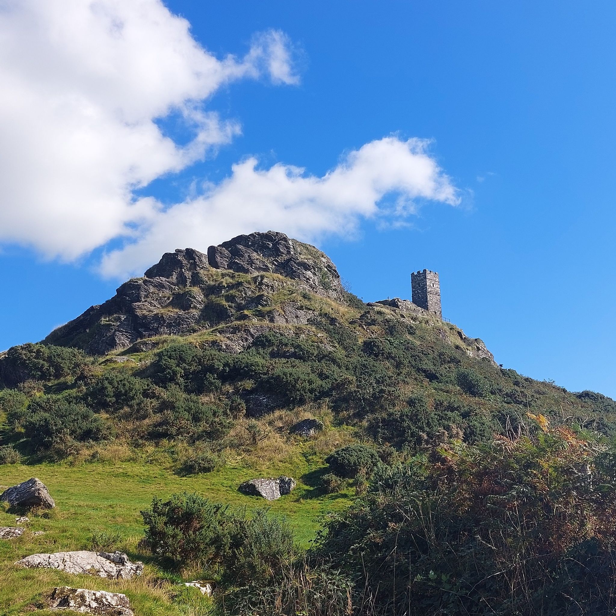
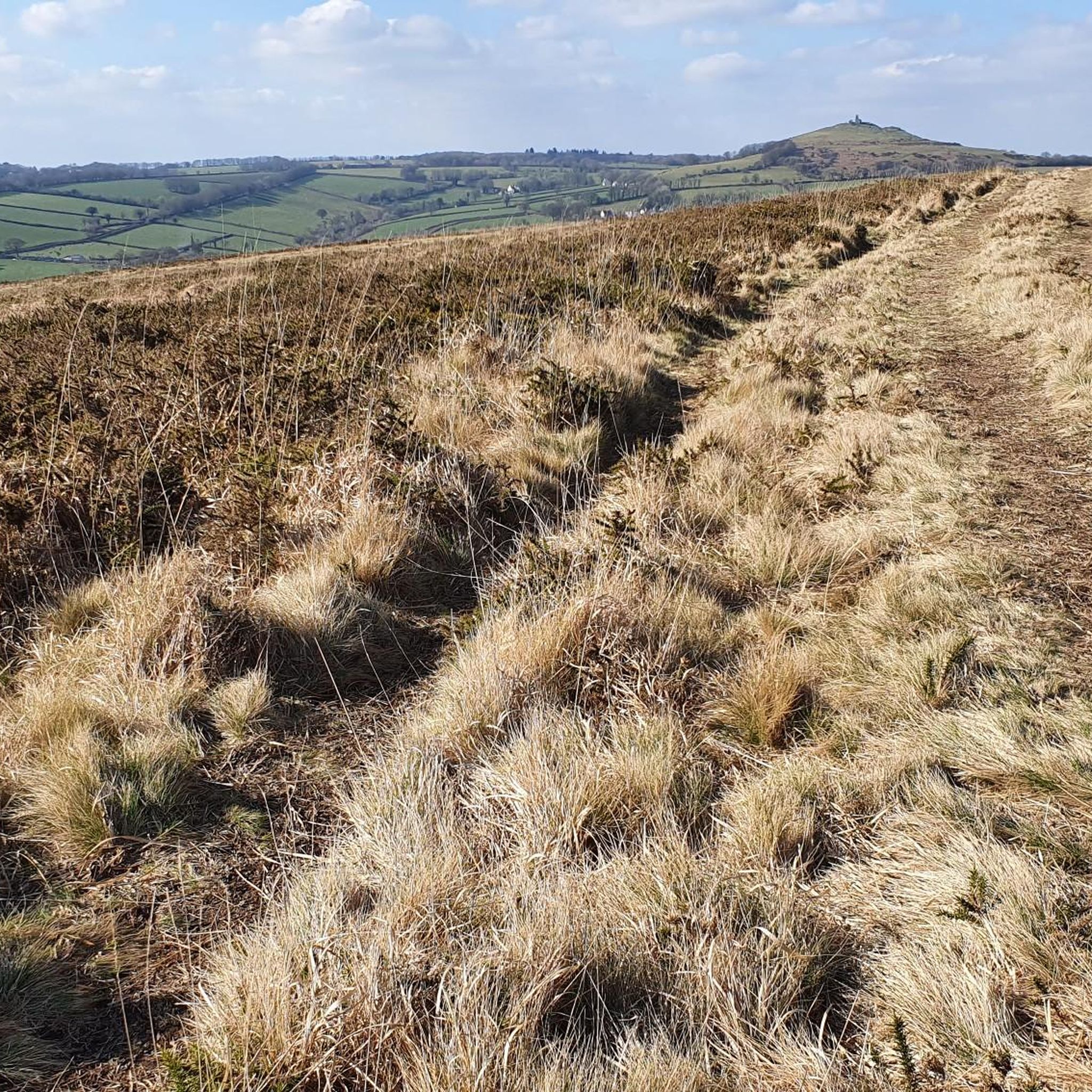
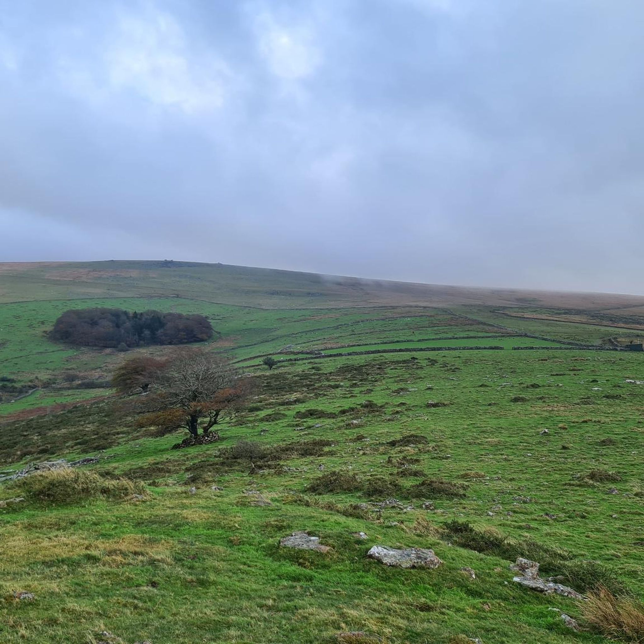
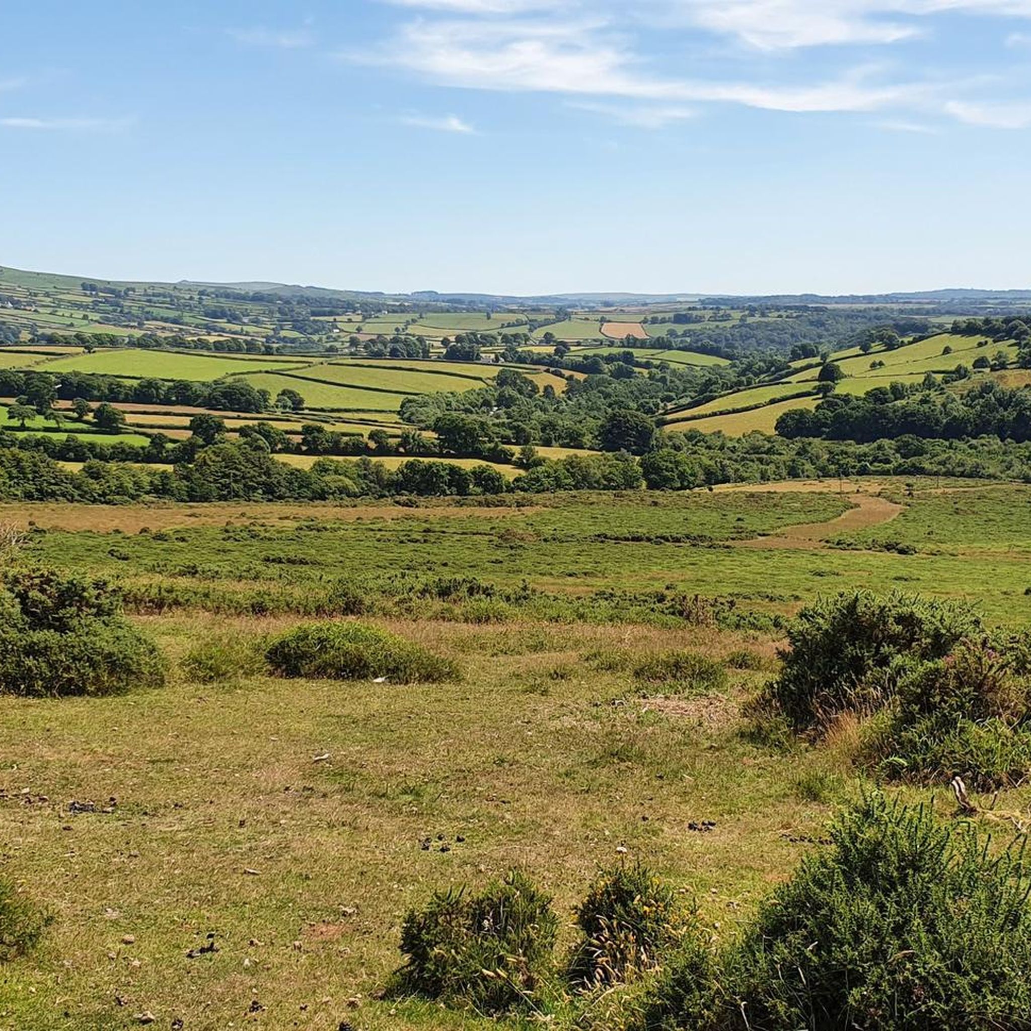

Other adventures around Mary Tavy

Tips from the Community

A very interesting exhibition about the history of the city with its mining industry.
0
0
We managed to get through here even with fully packed touring bikes. More pushing than riding, though.
0
0
The path has very rough granite blocks, where it is better to push the bike. The bridge is easily passable, although slightly slippery when wet.
0
0

It's a tap installed outside a wooden shed of the electrical department and as close as you can get to a public fountain. Push the wooden lever hard to start the water flow, and enjoy.
0
0

The path along the old railway track is very overgrown, muddy and in parts one is walking in a stream for a good distance. Wouldn’t recommend it.
1
0

Shortly after crossing the bridge, we had to return. There is a public footpath, but it's only accessible via a wooden construction with two steep steps. We were walking with our two 80 pounds dogs; the steps are not accessible for dogs and we could only have continued if we had lifted them both above this whatever-it-is-called thingy.
0
0
impressive granite exterior, probably C14 origin. * peaceful atmosphere on the graveyard with some interesting (and old) tombstones.
0
0

Historic covered market, in beautifully restored building. Great for browsing, all sorts on offer, good when the weather's wet (which is fairly frequent 😉).
1
0
Frequently Asked Questions
How many running routes are available around Mary Tavy?
There are over 140 running routes in the Mary Tavy area, offering a wide range of options for different fitness levels. These include 9 easy routes, 103 moderate routes, and 36 more challenging trails.
What kind of terrain can I expect on jogging routes near Mary Tavy?
Jogging routes around Mary Tavy feature diverse terrain, from wild open moorland and serene river valleys to historical mining landscapes. You'll find a mix of well-surfaced paths, such as sections of the Granite Way, and more rugged trails with granite tors and ancient woodlands like Wistman's Wood.
Are there any family-friendly running trails in Mary Tavy?
Yes, Mary Tavy offers several family-friendly options. The Mary Tavy Recreation Ground provides ample space for strolling and running, and the Granite Way offers well-surfaced paths without significant hills, suitable for a more relaxed family jog. Look for routes marked as 'easy' in the komoot guide for suitable options.
Can I bring my dog on the running trails around Mary Tavy?
Many trails around Mary Tavy are dog-friendly, especially those within Dartmoor National Park. However, it's crucial to follow the Countryside Code, which includes keeping dogs on a lead, particularly around livestock and during nesting seasons. The Mary Tavy Recreation Ground also provides a good space for dogs.
Are there any circular running routes in the area?
Yes, many of the running routes around Mary Tavy are circular, allowing you to start and finish at the same point. For example, the Longtimber Tor – River Tavy loop from Mary Tavy is a popular circular trail, and the Wheal Betsy Engine House loop from Mary Tavy also offers a great circular experience.
What are some notable landmarks or attractions I might see while running near Mary Tavy?
The area is rich in natural beauty and historical sites. You might encounter impressive granite tors like Yes Tor summit and High Willhays summit, or the ancient Wistman's Wood. Historical mining remains, such as the leaning ruins of Wheal Betsy, also dot the landscape, adding an interesting dimension to your run. The Meldon Viaduct and Gem Bridge are also prominent features on some routes.
Are there any routes with significant elevation gain for a challenging run?
Absolutely. Mary Tavy is situated near Dartmoor's iconic granite tors, offering challenging uphill sections. Routes leading towards Yes Tor and High Willhays provide rewarding elevation and panoramic views. The The Langstone Standing Stone – St Peter's Church, Peter Tavy loop from Peter Tavy, for instance, includes over 290 meters of ascent.
What do other runners enjoy most about jogging in Mary Tavy?
The running routes in Mary Tavy are highly rated by the komoot community, with an average score of 4.4 stars from over 20 reviews. Runners often praise the diverse and striking natural landscapes, the mix of wild moorland and serene river valleys, and the fascinating historical ruins that create a uniquely engaging environment.
Are there any long-distance running trails suitable for endurance training?
While many routes are moderate, the network allows for combining trails to create longer distances. The Granite Way, a well-surfaced cycle path, can be used for extended, flatter runs. For a longer, varied run, consider the Tavistock Town Hall – Abbey Bridge and Weir loop from Peter Tavy, which covers nearly 13 km.
Is there parking available near the trailheads in Mary Tavy?
While specific parking details vary by trailhead, Mary Tavy and the surrounding Dartmoor National Park area generally offer designated parking spots or roadside parking options near popular access points. It's advisable to check local signage or route descriptions for the most convenient parking for your chosen trail.
Can I access jogging routes in Mary Tavy using public transport?
Public transport options to specific trailheads within Dartmoor National Park can be limited. While Mary Tavy itself has some local bus services, direct access to more remote trail starting points might require a short walk or taxi ride. Planning your route in advance and checking local bus schedules is recommended.
Are there any running routes that pass by waterfalls?
Yes, the region is home to Lydford Gorge, which features the beautiful Whitelady Waterfall. While not directly on the main jogging routes listed, it's a significant natural attraction nearby that can be incorporated into a longer exploration or visited separately. Some trails within the gorge offer moderate ascents and descents.
What is the best time of year to go running in Mary Tavy?
Mary Tavy offers enjoyable running conditions throughout much of the year. Spring and autumn provide pleasant temperatures and beautiful scenery, with autumn offering particularly stunning views around Gem Bridge. Summer is great for longer daylight hours, but be prepared for potentially warmer weather on exposed moorland. Winter runs can be invigorating but require appropriate gear for colder, potentially wetter conditions.
Most popular routes around Mary Tavy
Most popular attractions around Mary Tavy

Get inspired with the komoot mobile app


Explore more
Browse the best Running Trails & Routes in other regions.
