The best road cycling routes around Lake Czerniańskie
4.7
(38)
1,247
riders
42
rides
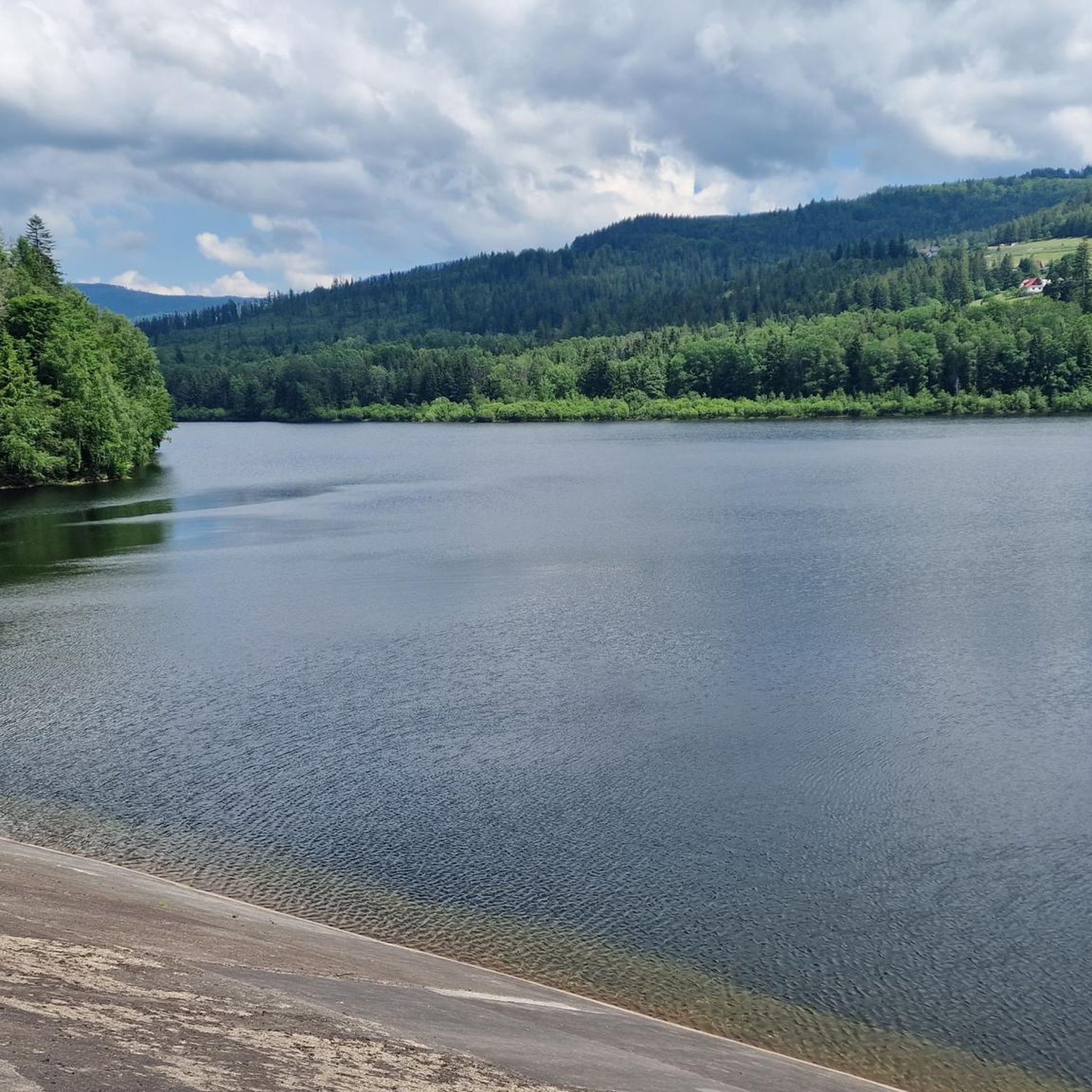
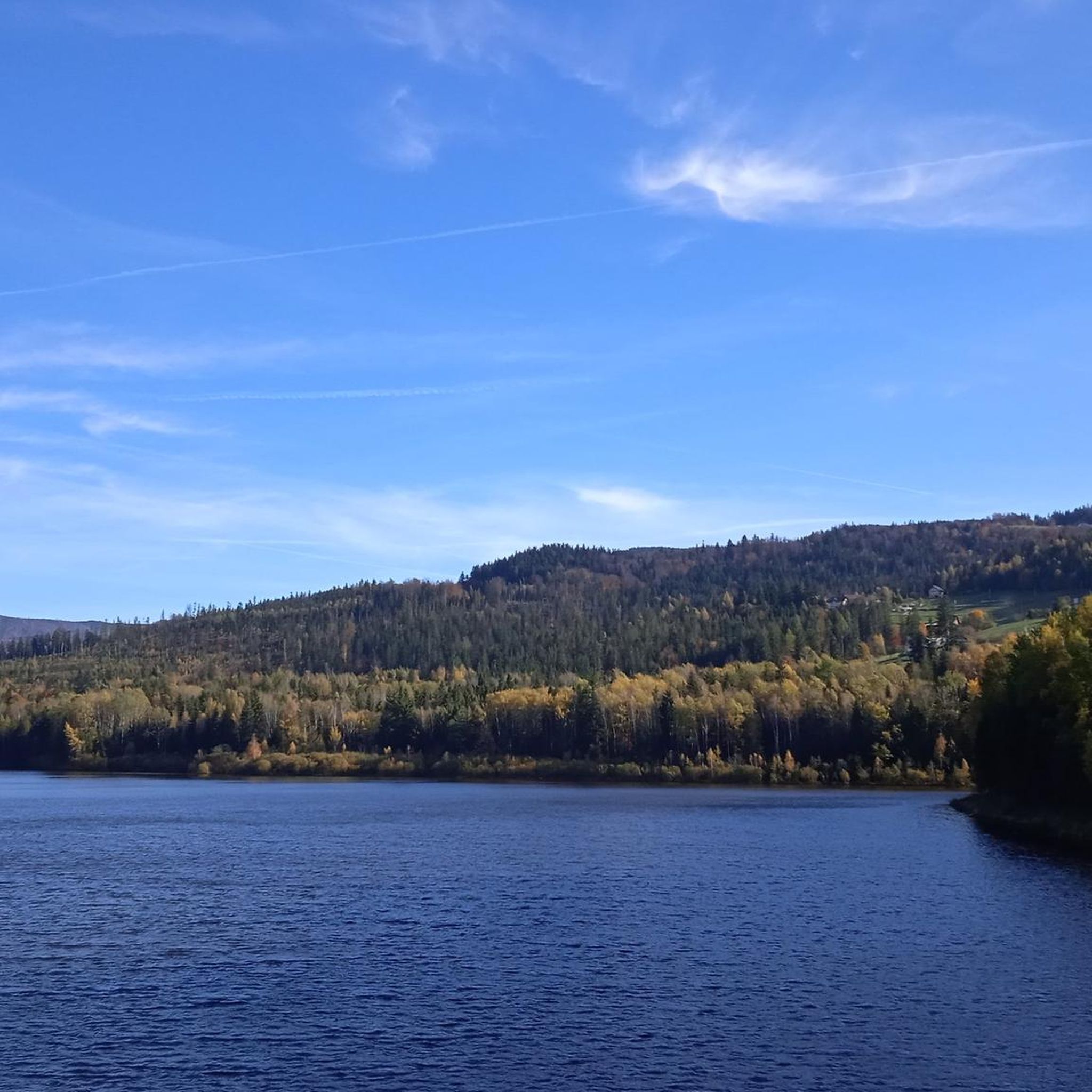
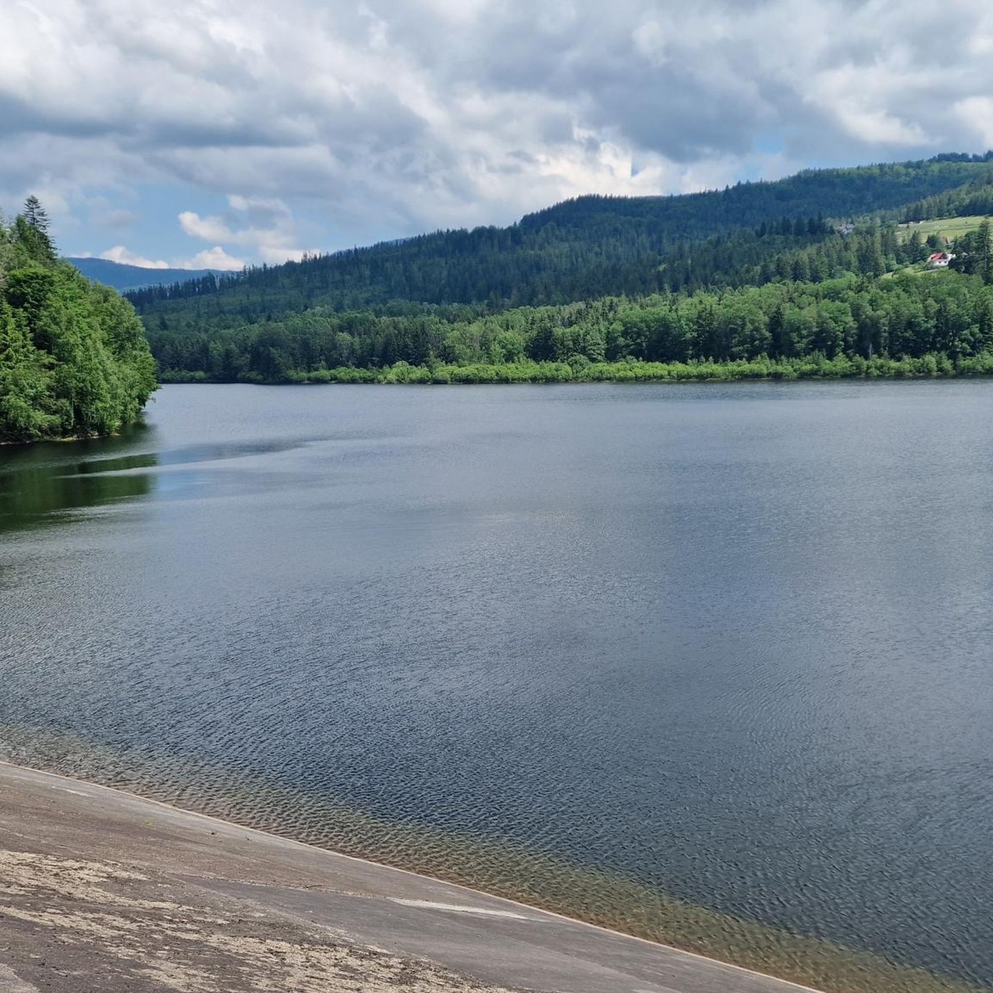
Road cycling around Lake Czerniańskie offers routes through the Silesian Beskids, a mountainous region characterized by dense spruce forests and the picturesque Czerniańskie Reservoir. The area features a mix of paved surfaces, ranging from gentle lakeside paths to more strenuous mountain ascents with significant elevation gains. This makes it suitable for various fitness levels, with many popular road bike routes Lake Czerniańskie providing scenic views of the surrounding landscape and natural attractions.
Best road cycling routes around Lake Czerniańskie
- The most popular road cycling route is Szarcula Pass – Wiślański Waterfall loop from Nowa Osada Druga, a 12.2 miles (19.6 km) trail that takes 1 hour 2 minutes to complete. This moderate route includes a pass and a waterfall.
- Another top favourite among local road cyclists is Adam Małysz Ski Jumping Hill – Czerniańskie Lake loop from Malinka Centrum, a moderate 13.8 miles (22.2 km) path. This route offers views of the ski jumping hill and the lake.
- Local road cyclists also love the Church in Istebna – Wiślański Waterfall loop from Wisła, a 11.9 miles (19.3 km) trail leading through varied terrain, often completed in about 49 minutes.
- Road cycling around Lake Czerniańskie is defined by mountainous terrain, dense forests, and the artificial reservoir. The network offers options for different ability levels, from easy loops to challenging climbs.
- The routes in Lake Czerniańskie are highly rated by the komoot community with an average score of 4.7 stars from over 18 reviews. More than 900 road cyclists have used komoot to explore Lake Czerniańskie's varied terrain.
Last updated: October 13, 2026
4.7
(3)
52
riders
20.0km
01:03
360m
360m
Moderate road ride. Good fitness required. Some segments of this route may be unpaved and difficult to ride.
12
riders
Moderate road ride. Good fitness required. Some segments of this route may be unpaved and difficult to ride.

11
riders
20.1km
00:54
150m
150m
Easy road ride. Great for any fitness level. Mostly well-paved surfaces and easy to ride.
11
riders
19.6km
00:51
180m
180m
Easy road ride. Great for any fitness level. Mostly well-paved surfaces and easy to ride.
6
riders
46.3km
02:37
910m
910m
Hard road ride. Very good fitness required. Some segments of this route may be unpaved and difficult to ride.
Get access to more routes and recommendations from other explorers.
Already have an account?
Our route recommendations are based on thousands of hikes, rides, and runs completed by other people on komoot.
Start today with a free account
Your next adventure awaits.
Tips from the Community

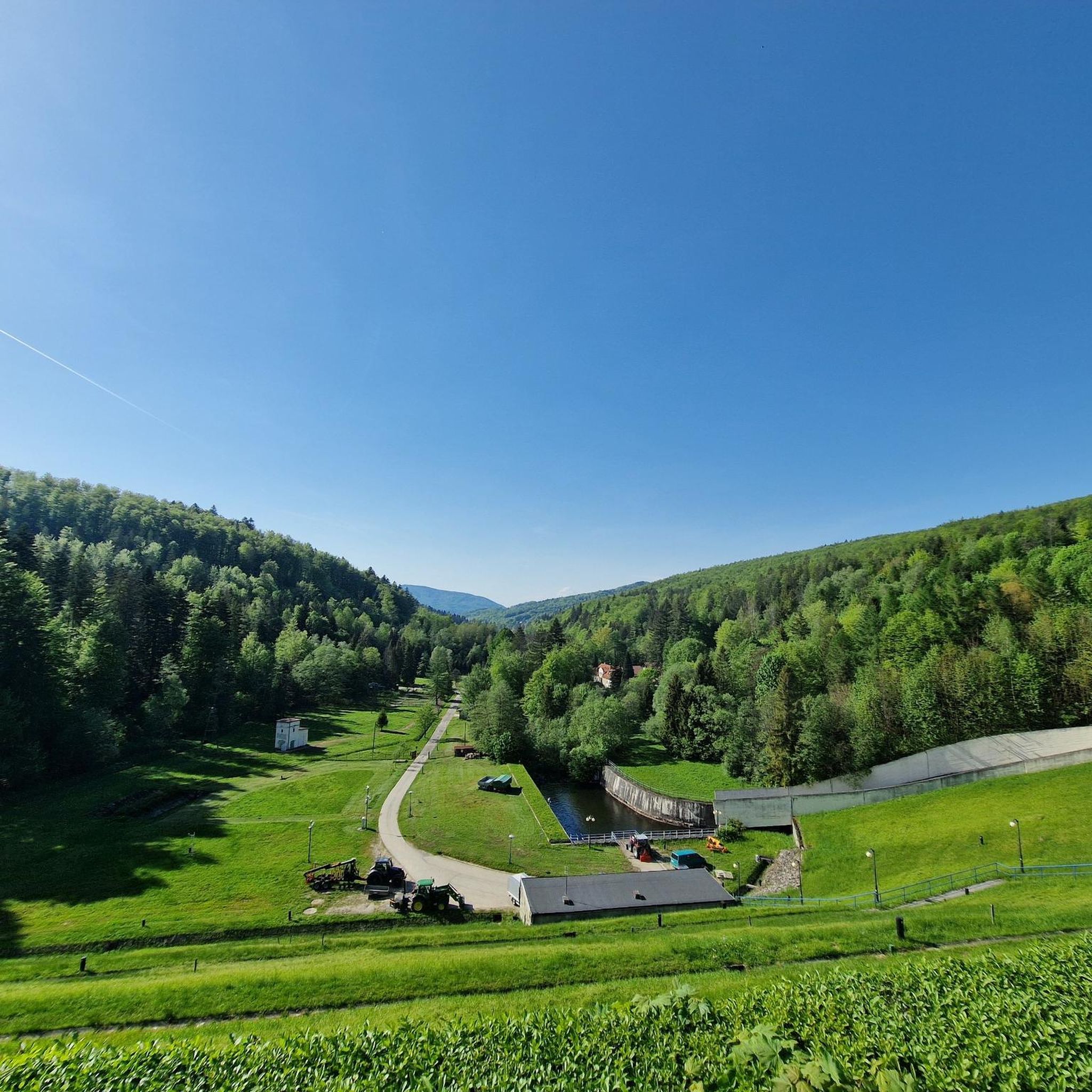
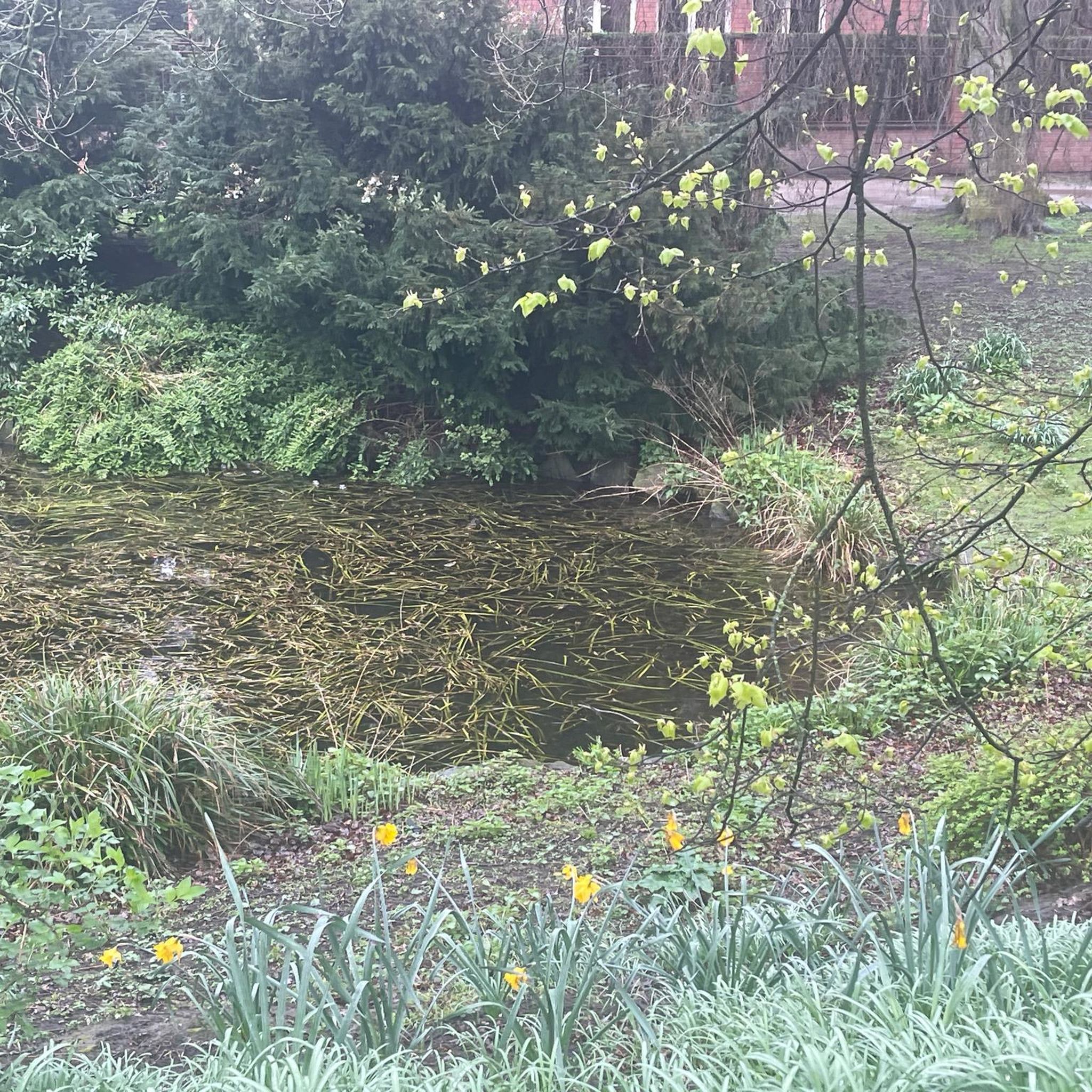
Small Dam in Wisła Nowa Osada For clarity – this place is located about 4.5 kilometers downstream from the large earthen dam forming the Czerniańskie Lake. Waterfall: It is an artificial weir 8 meters high, built on the Wisełka stream in the 1950s. Fish passages: Characteristic concrete steps and walkways visible just below the main cascade. They allow fish (mainly trout) to migrate upstream. Building on the left: This is a historic wooden-and-brick inn "Drewutnia" (originally from 1833), where tourists can eat traditional Beskid dishes.
0
0

An 8m high artificial waterfall built in the 1950s on the Vistula River
0
0

the driveway from the Zubrzyca side slowly rises upwards, where in the final phase there is a steeper driveway. It's not terrible
0
0


"All the train stations of the old Austro-Hungarian Empire resembled one another, the small stations in the small provincial towns. Yellow and tiny, they resembled lazy cats, sleeping in the snow in winter and in the sun in summer, protected, as it were, by the platform's traditional crystal glass roof and watched over by the black double-headed eagle on a yellow background." Joseph Roth, the Capuchin Crypt.
1
0

Border station on the Cadca-Zywiec railway line, built in 1884. As of May 2025: Due to the renewal of the tracks on the Polish side, the station is currently only accessible by train from the Slovak side. Rail replacement services operate on the Polish side, albeit less frequently than the trains.
3
0

The Szarcula Pass (759 m above sea level) in the Silesian Beskids is a shallow saddle located on the main watershed ridge of Poland, separating the Vistula and Olza river basins. It is located between the Kubalonka peak and the Szarcula hill and has historical significance related to old-time hut farming. An asphalt road runs through the pass, connecting the Kubalonka Pass with the Czarna Wisełka valley, making it an attractive section for road cyclists. The road is scenic and well suited for a quiet, mountain route. The place is also the border between the towns of Wisła and Istebna.
0
0
The ascent to the Kubalonka Pass from Wisła is 7.5 km long and has a 310 m elevation gain. The average gradient is 4.2%, with one more difficult section before the serpentines reaching 10-12%. The asphalt is perfect, and there is an inn at the pass (761 m).
1
0
Frequently Asked Questions
What is the general difficulty level of road cycling routes around Lake Czerniańskie?
The road cycling routes around Lake Czerniańskie offer a diverse range of difficulties. You'll find everything from easy, gentle lakeside paths to challenging mountain ascents with significant elevation gains. The area features 4 easy routes, 29 moderate routes, and 21 difficult routes, catering to various fitness levels.
Are there any beginner-friendly road cycling routes near Lake Czerniańskie?
Yes, there are several beginner-friendly options. For instance, the Church in Istebna – Wiślański Waterfall loop from Wisła is an easy 19.3 km route with moderate elevation, often completed in under an hour. Another easy option is the Wiślański Waterfall – Church in Istebna loop from Malinka, which is 19.2 km long.
What natural attractions can I see while road cycling around Lake Czerniańskie?
The region is rich in natural beauty. You can cycle past the picturesque Czerniańskie Reservoir and its impressive dam, which offers great views. The 8-meter high waterfall on the Vistula River, often called the 'Vistula Niagara,' is another notable sight. The routes also wind through dense spruce forests of the Silesian Beskids, providing a scenic backdrop.
Are there any challenging road cycling routes for experienced riders?
Absolutely. For experienced cyclists seeking a challenge, the area offers 21 difficult routes. An example is the Forest Road loop from Istebna, a demanding 45.8 km route with over 900 meters of elevation gain, designed for those with strong fitness.
What do other road cyclists enjoy most about cycling in Lake Czerniańskie?
The area is highly rated by the komoot community, with an average score of 4.7 stars from over 18 reviews. Cyclists often praise the diverse terrain, from gentle lakeside paths to strenuous mountain ascents, and the stunning views of the Silesian Beskids and the Czerniańskie Reservoir.
Are there any circular road cycling routes around Lake Czerniańskie?
Yes, many of the routes are designed as loops, allowing you to start and end in the same location. For example, the Szarcula Pass – Wiślański Waterfall loop from Nowa Osada Druga is a popular moderate 19.6 km circular route that includes a pass and a waterfall.
What is the best time of year for road biking around Lake Czerniańskie?
The best time for road biking around Lake Czerniańskie is generally from spring through autumn. During these seasons, the weather is more favorable, and the natural scenery, including the dense spruce forests, is at its most vibrant. While winter cycling is possible, conditions can be challenging due to snow and ice in the mountainous terrain.
Are there any family-friendly road cycling paths in the area?
While many routes involve elevation, there are options suitable for families, especially those with some cycling experience. The 4.54 km loop directly around the Czerniańskie Reservoir Dam is an easy, short ride with minimal elevation, perfect for a leisurely family outing. Look for routes described as 'easy' on komoot for more family-friendly options.
Where can I find parking for road bikes near Lake Czerniańskie?
Wisła, the nearby town, is known as a cyclist-friendly city and offers various parking options. Many routes start from locations like Nowa Osada Druga, Malinka Centrum, or Wisła itself, where you can typically find suitable parking for your vehicle before heading out on your ride.
What landmarks or points of interest can I explore near the cycling routes?
Beyond the natural beauty, you can visit the Presidential Castle in Wisła, known as 'Zameczek,' a significant modernist attraction. The region also provides access to trails leading to Barania Góra, the highest peak of the Vistula River, offering panoramic views from its observation tower. These can be great stops before or after your ride.
Are there cafes or places to eat along the road cycling routes?
The region around Lake Czerniańskie, particularly in and around Wisła, offers various cafes, pubs, and restaurants. While specific establishments on every route aren't detailed, you'll find amenities in the towns and villages that the routes pass through or start from, such as Wisła, Istebna, and Malinka.
Is Lake Czerniańskie accessible by public transport for cyclists?
The region is generally accessible, and Wisła, being a popular tourist destination, has public transport connections. Cyclists often use these to reach starting points for their rides. It's advisable to check local bus or train schedules for routes that accommodate bicycles to plan your journey effectively.
Most popular routes around Lake Czerniańskie

Get inspired with the komoot mobile app


Explore more
Browse the best Road cycling routes in other regions.
