The best road cycling routes around Gelligaer
4.4
(62)
3,903
riders
29
rides
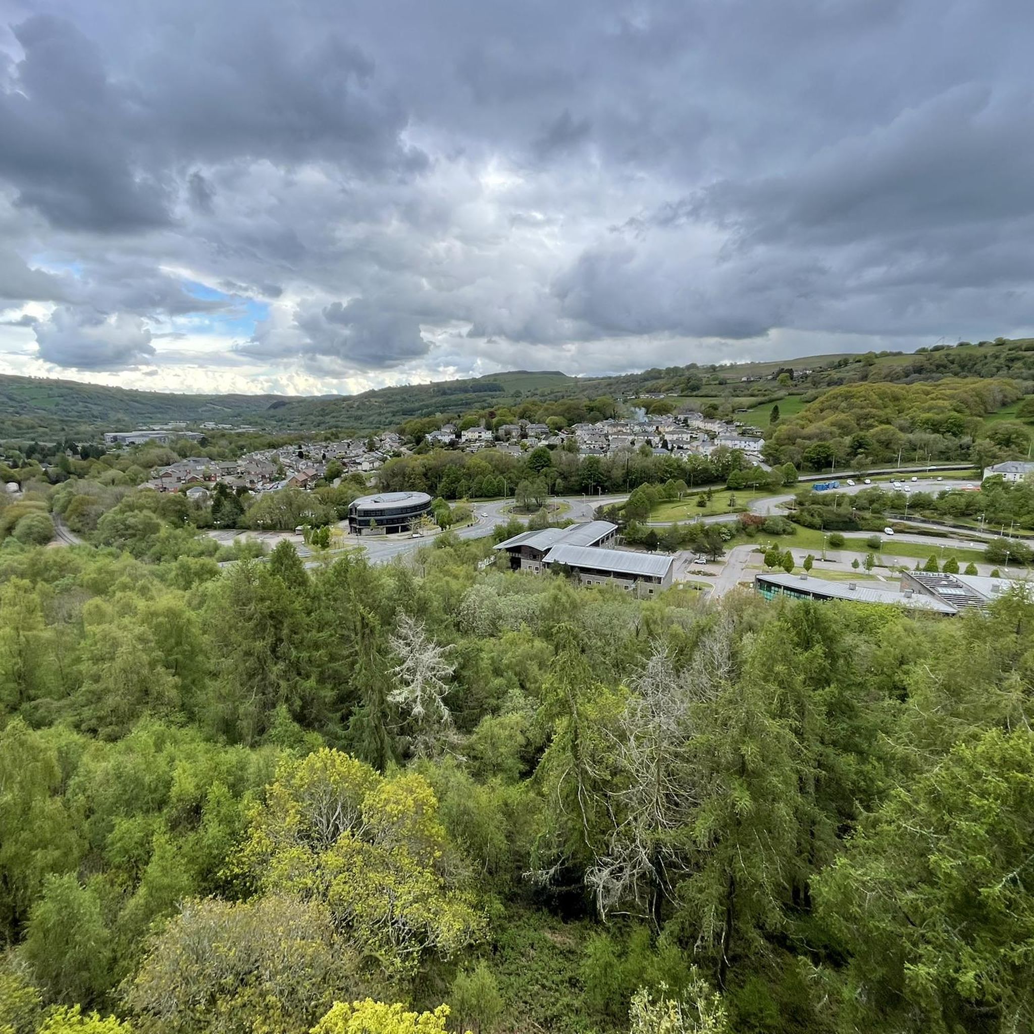
Road cycling around Gelligaer offers a varied terrain, from mostly paved surfaces to challenging inclines with significant elevation gains. The region features upland moor and ridges, such as Gelligaer Common, which rises to over 470 meters above sea level. Cyclists encounter steep slopes leading into valleys like Cwm Bargoed and the Bargoed Rhymney, providing diverse route options. The landscape also includes hills offering panoramic views, contributing to both challenging and scenic ascents and descents.
Best road cycling routes around Gelligaer
…Last updated: October 3, 2026
19
riders
40.1km
02:08
590m
590m
Moderate road ride. Good fitness required. Mostly well-paved surfaces and easy to ride.
78
riders
54.4km
02:36
550m
550m
Moderate road ride. Good fitness required. Mostly well-paved surfaces and easy to ride.

60
riders
103km
06:32
1,170m
1,170m
Hard road ride. Very good fitness required. Some segments of this route may be unpaved and difficult to ride.
4.0
(1)
41
riders
Moderate road ride. Good fitness required. Mostly well-paved surfaces and easy to ride.
4.7
(3)
36
riders
75.8km
03:33
770m
770m
Moderate road ride. Good fitness required. Mostly well-paved surfaces and easy to ride.
Get access to more routes and recommendations from other explorers.
Already have an account?
Our route recommendations are based on thousands of hikes, rides, and runs completed by other people on komoot.
Start today with a free account
Your next adventure awaits.
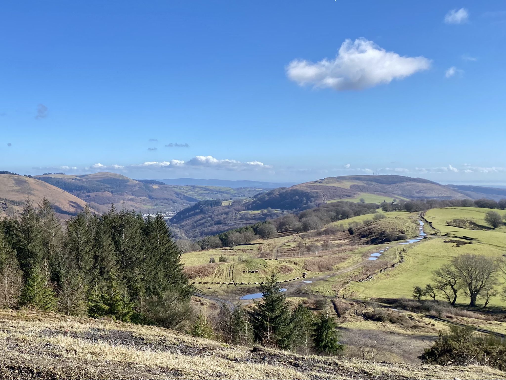
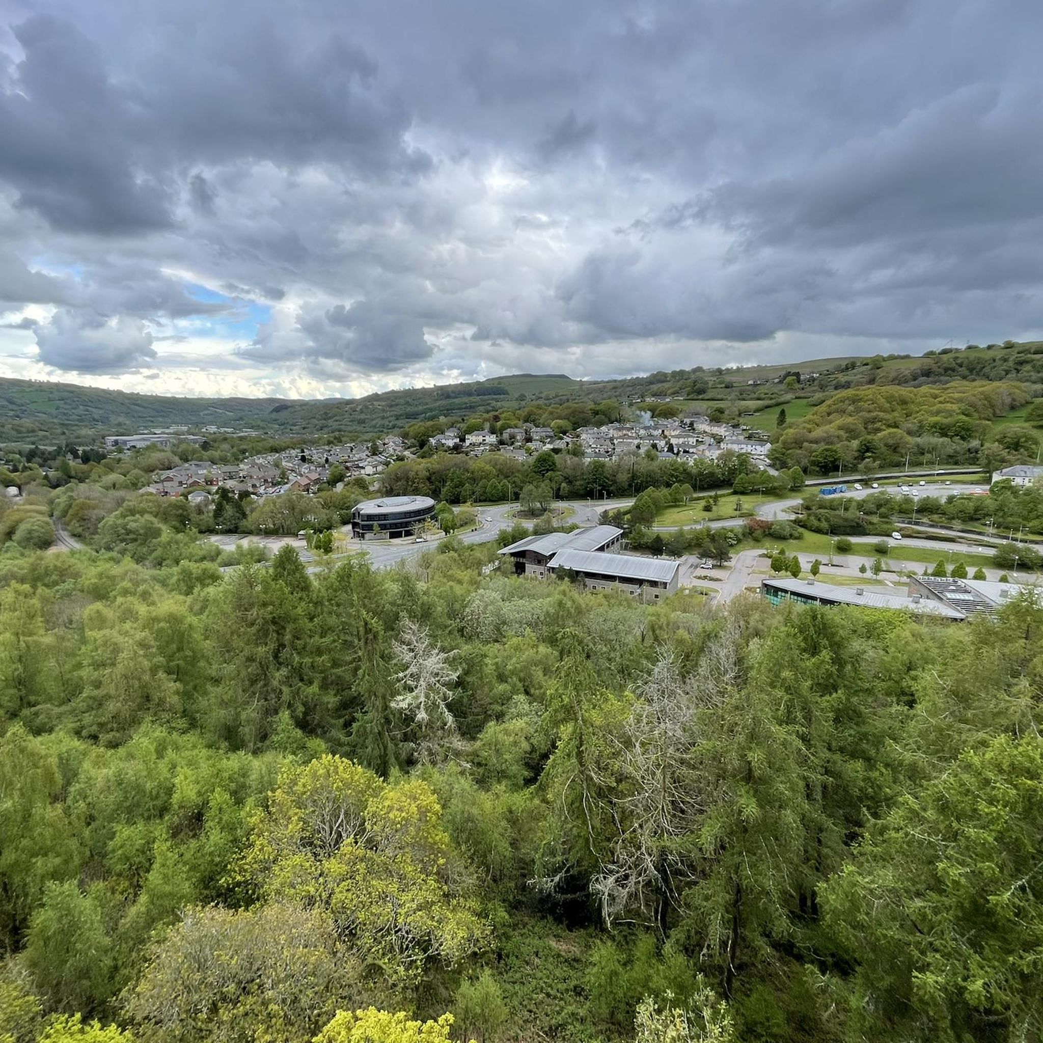
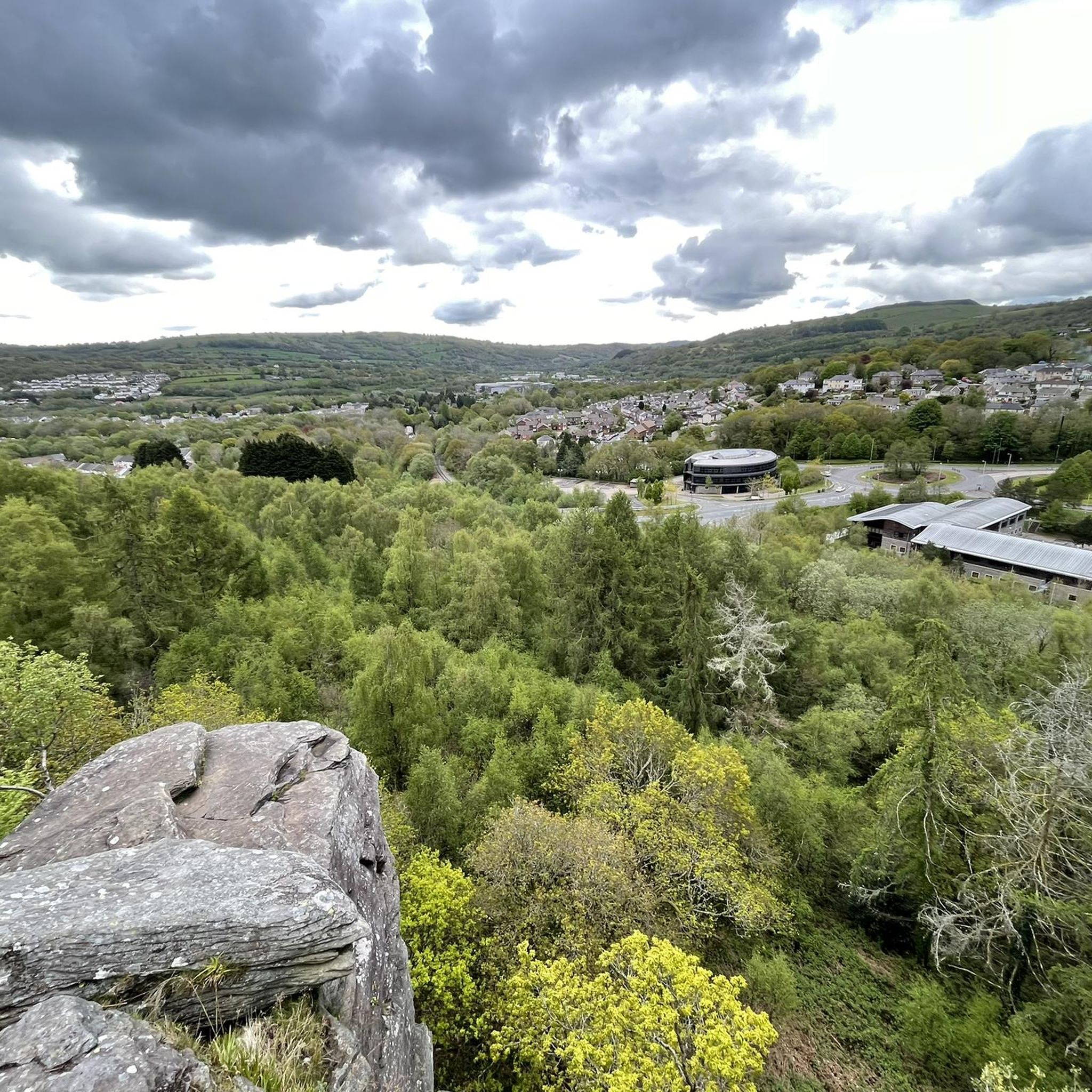
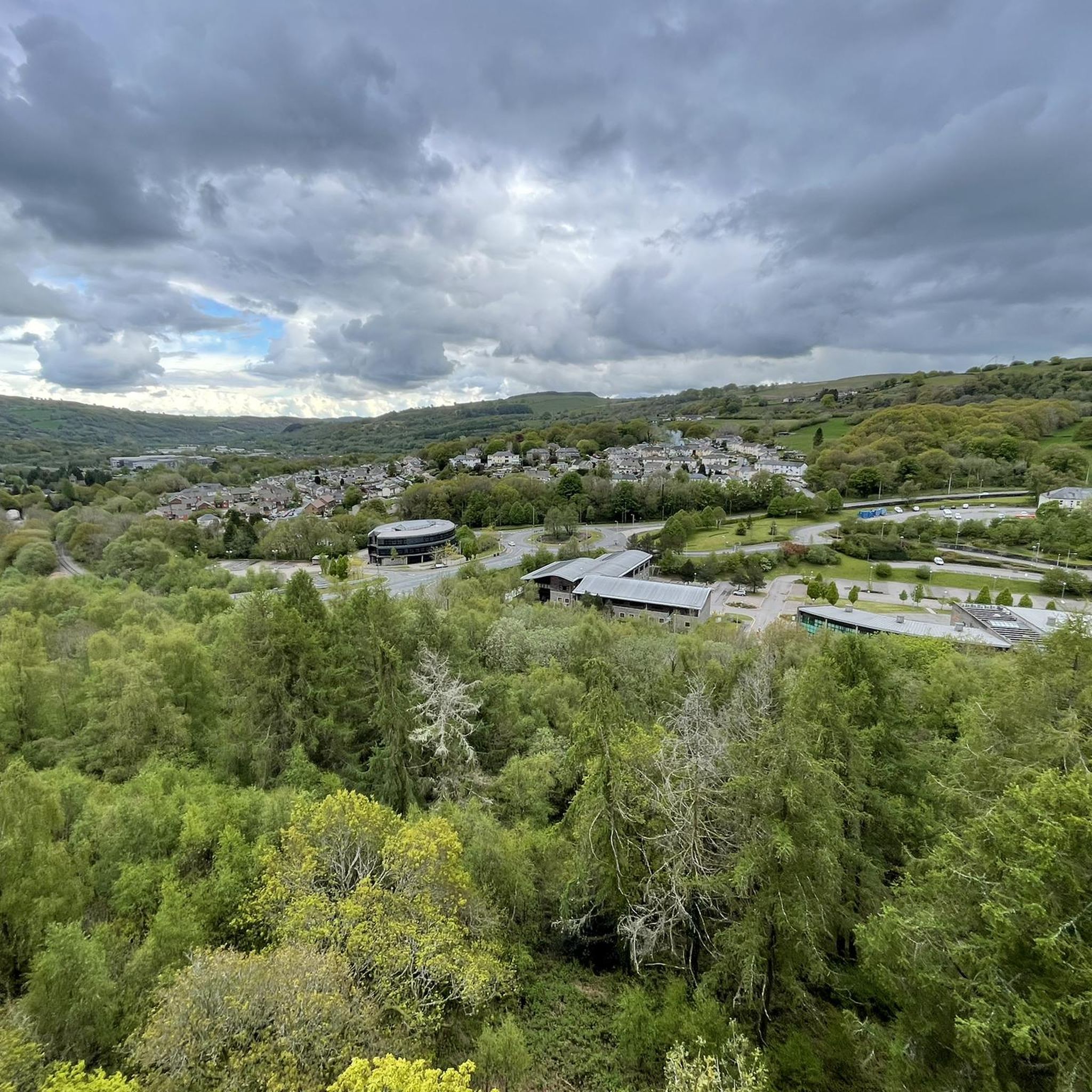
Other adventures around Gelligaer

Tips from the Community

Titanic rescue history linked to this location. Worth a visit if you are in the area.
0
0
Lovely peaceful place to ride and the easiest way to avoid traffic between Caerleon and Newport.
0
0

Leads onto Pontygwaith bridge
0
0
Lovely path to ride on. A gentle incline and suitable for most abilities
1
0
Some great views of the valley below once you get on the viaduct
0
0


Raglan castle cafe is a recommended stop, great coffee and cakes :-)
0
0
Frequently Asked Questions
How many road cycling routes are available in Gelligaer?
Gelligaer offers a diverse selection of over 30 road cycling routes, catering to various skill levels. You'll find options ranging from easy spins to challenging climbs, ensuring there's something for every road cyclist.
What kind of terrain can I expect when road cycling in Gelligaer?
The region around Gelligaer features a varied landscape, including mostly paved surfaces, but also challenging inclines and unpaved segments. You'll encounter upland moor and ridges, such as Gelligaer Common, which rises significantly above sea level. Routes often involve steep slopes leading into picturesque valleys like Cwm Bargoed and the Bargoed Rhymney, providing both diverse terrain and scenic views.
Are there challenging climbs for experienced road cyclists in Gelligaer?
Yes, Gelligaer is known for its challenging ascents, with some routes featuring elevation gains of 1500 feet or more. Hills like Twmbarlwm, Mynydd Machen, and Caerphilly Mountain offer significant climbs and panoramic rewards. For a truly demanding ride, consider the Blaen-y-Glyn Climb – Talybont Reservoir loop from Ystrad Mynach, which includes a substantial climb and covers over 100 km.
Are there any easy or beginner-friendly road cycling routes in Gelligaer?
While Gelligaer offers many challenging routes, there are also 8 easy road cycling routes available. These routes typically feature less elevation gain and are suitable for those looking for a more relaxed ride or beginners. You can explore various options to find one that matches your comfort level.
What historical sites can I see along road cycling routes in Gelligaer?
Gelligaer is rich in history. You can cycle past the earthworks of a well-preserved second-century Roman fort, strategically located on Cefn Gelligaer. The area also features Bronze Age burial sites and Iron Age settlements. For a notable historical landmark, consider visiting Twmbarlwm Hill and Iron Age hillfort, which offers both historical significance and stunning views.
Are there scenic viewpoints along the road cycling routes in Gelligaer?
Absolutely. The region boasts several hills that provide glorious panoramic views. From summits like Twmbarlwm, Mynydd Machen, and Caerphilly Mountain, you can often see the Severn Estuary, Newport, Cardiff, and the surrounding Welsh landscape. Other notable viewpoints include Mynydd Machen Summit and Garth Summit.
Are there circular road cycling routes in Gelligaer?
Many of the road cycling routes in Gelligaer are designed as loops, allowing you to start and finish at the same point. Examples include the popular Rhymney Valley views loop from Hengoed and the Hengoed Viaduct – Sirhowy Valley Bike Path loop from Pengam, which incorporates the historic viaduct.
Where can I park when road cycling in Gelligaer?
While specific parking for each route isn't detailed, areas around popular starting points like Hengoed and Pengam often have public parking facilities. For instance, the Cwmcarn — Twrch Mountain Bike Trail area, though primarily for mountain biking, indicates parking availability in the wider region that might be suitable for road cyclists accessing nearby routes.
What do other road cyclists enjoy the most about road cycling in Gelligaer?
The road cycling routes in Gelligaer are highly rated by the komoot community, with an average score of 3.5 stars from 5 reviews. Cyclists often praise the varied terrain, the challenging climbs, and the stunning panoramic views from the hills. The mix of historical sites and natural beauty also contributes to a rewarding cycling experience.
What is the best time of year for road cycling in Gelligaer?
The best time for road cycling in Gelligaer is generally during the spring, summer, and early autumn months (April to October). During these periods, the weather is typically milder and more stable, making for more comfortable riding conditions and better visibility for enjoying the panoramic views. Always check local weather forecasts before heading out.
Are there any routes that incorporate notable man-made structures?
Yes, some routes integrate interesting man-made structures into the cycling experience. A prime example is the Hengoed Viaduct – Sirhowy Valley Bike Path loop from Pengam, which allows you to cycle past or over the impressive Hengoed Viaduct, a significant local landmark.
Are there any routes that offer views of the Rhymney Valley?
Yes, the Rhymney Valley views loop from Hengoed is specifically designed to showcase the beautiful vistas across the Rhymney Valley, making it a popular choice for scenic rides.
Most popular routes around Gelligaer
Most popular attractions around Gelligaer

Get inspired with the komoot mobile app


Explore more
Browse the best Road cycling routes in other regions.
