The best walks and hikes around Ringmackilroy
4.6
(258)
1,835
hikers
99
hikes
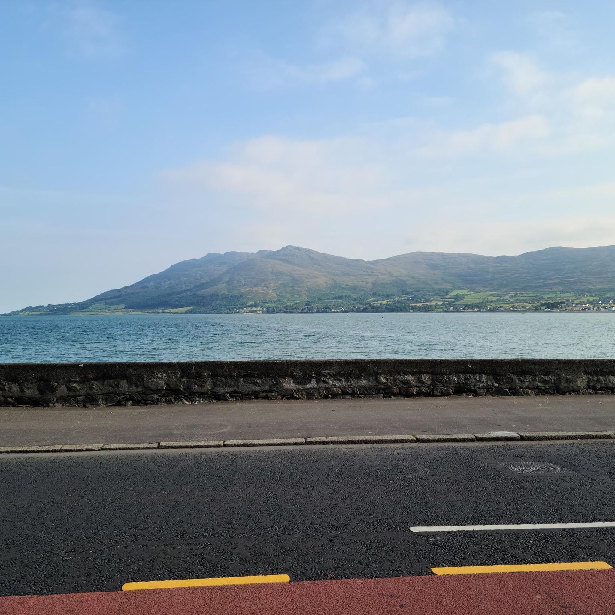
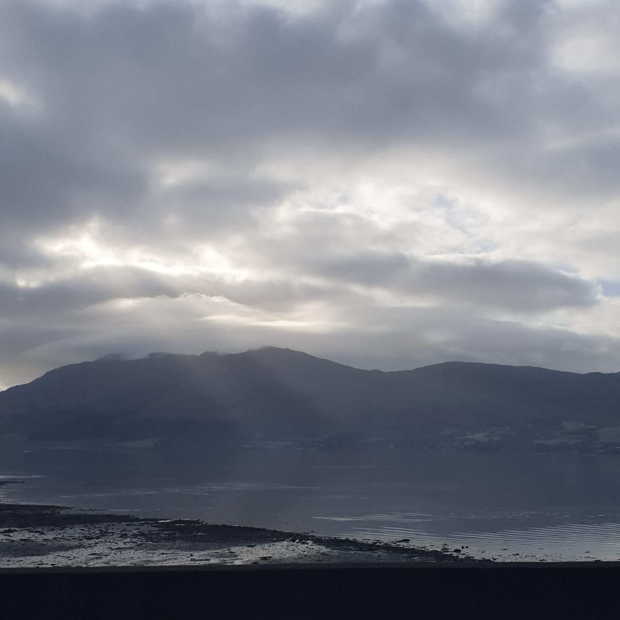
Hiking around Ringmackilroy features a diverse landscape, characterized by views of Carlingford Lough, varied forest trails, and open paths. The region offers a mix of terrain, from gentle ascents to more challenging climbs. Hikers can explore routes that traverse both natural woodlands and areas with historical points of interest.
Best hiking trails around Ringmackilroy
- The most popular hiking route is Cloughmore Stone – View of Carlingford Lough loop from Rostrevor, a 5.8 miles (9.3 km) trail that takes 3…
Last updated: July 2, 2026
4.4
(9)
76
hikers
8.84km
03:01
450m
450m
Moderate hike. Good fitness required. Easily-accessible paths. Suitable for all skill levels.
4.7
(9)
62
hikers
15.3km
03:54
50m
50m
Moderate hike. Good fitness required. Easily-accessible paths. Suitable for all skill levels.

Sign up for free
4.5
(2)
10
hikers
17.0km
04:35
220m
220m
Moderate hike. Good fitness required. Easily-accessible paths. Suitable for all skill levels.
16
hikers
4.11km
01:17
150m
150m
Easy hike. Great for any fitness level. Easily-accessible paths. Suitable for all skill levels.
5.0
(1)
15
hikers
3.07km
00:51
50m
50m
Easy hike. Great for any fitness level. Easily-accessible paths. Suitable for all skill levels.
Get access to more routes and recommendations from other explorers.
Sign up for free
Already have an account?
Our route recommendations are based on thousands of hikes, rides, and runs completed by other people on komoot.
Start today with a free account
Your next adventure awaits.
Login or Signup


Tips from the Community

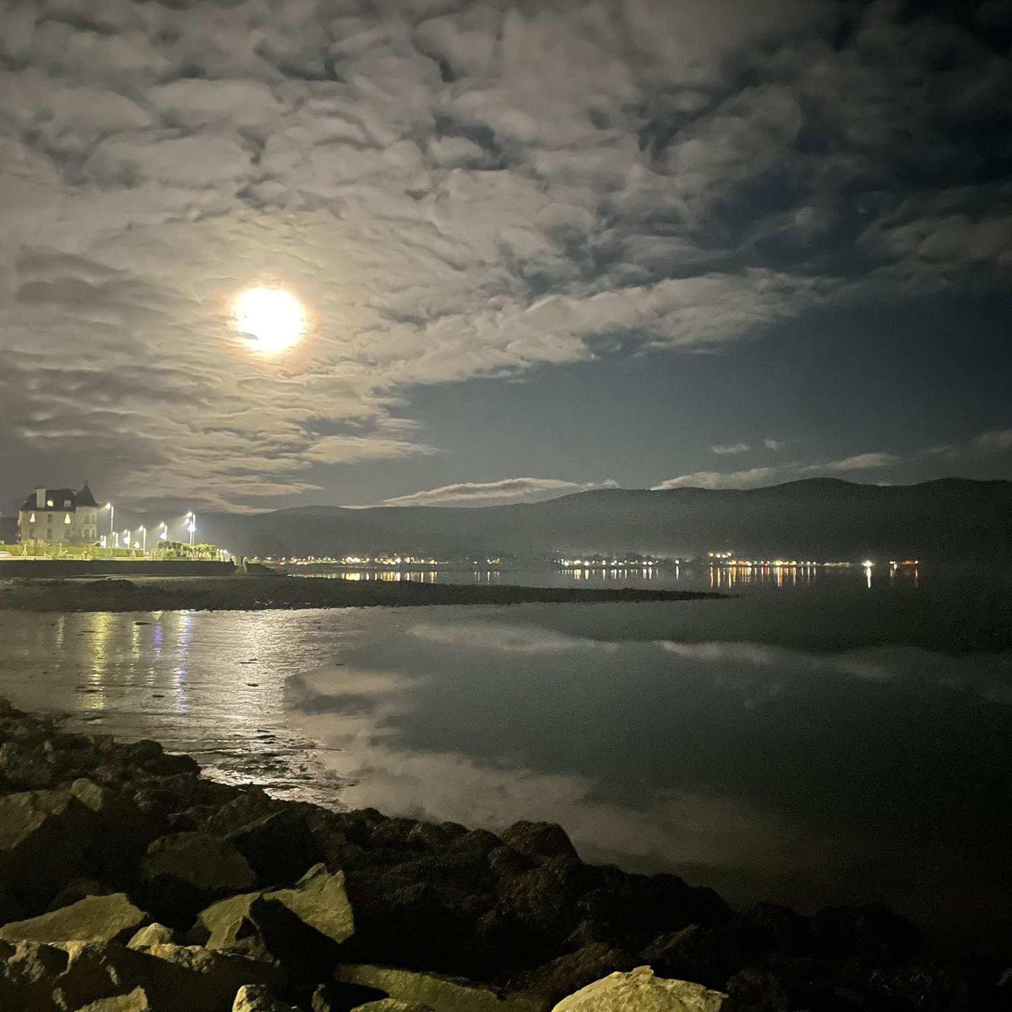
This charming seaside town overlooks the Mourne Mountains, whose silhouette rises along the coast of Northern Ireland. Carlingford is very lively at weekends thanks to its many pubs and restaurants, which attract visitors from the north, and is famous for its oysters. The village has several historical sights, such as the small King John's Castle, with its romantic silhouette overlooking the sea, and Taaffe's Castle, a former 16th-century merchant's house located a little further from the quay.
6
0
The Tholsel is undoubtedly one of the most unique structures in the heart of Carlingford. This medieval city gate, originally built in the 15th century, is the only remaining gate from the original town wall and served for centuries as the ceremonial and administrative entrance to the town.
6
1
The former Carlingford Railway Station is a beautifully preserved reminder of the time when the steam train was the lifeblood of the Cooley Peninsula. The station was once an important stop on the Dundalk, Newry & Greenore Railway (DN&GR) line, opened in 1873 and closed in 1951.
6
1
Above the medieval street pattern, which dominates the silhouette of Carlingford, stands the imposing ruin of Carlingford Castle, also known as King John’s Castle. This castle was built around 1190 by the Norman knight Hugh de Lacy and was for centuries the strategic key to the entrance of Carlingford Lough.
5
1
Carlingford Heritage Centre - Churchyard Rd - 0429373454 - www.carlingfordheritagecentre.com. Housed in a former medieval church restored by volunteers, this cultural centre offers insights into Carlingford's history. It hosts temporary exhibitions and various cultural events.
5
0

The well-signposted mountain bike trails take you through dense forests and offer breathtaking views of Carlingford Lough and the Mourne Mountains. The descent from the Cloughmore Stone, a huge boulder that was transported here during the last ice age, is a particular highlight. However, some sections are technical and require a certain level of riding technique. The trails can become slippery in wet weather, so caution is advised. Another plus point is the proximity to the charming village of Rostrevor, where you can relax in one of the cafes after the tour.
3
0

A super stop off on the greenway. 4.2km from the start of the greenway in Carlingford. delicious food, cooffee, scones etc and free fruit flavoured water.
1
0
Frequently Asked Questions
How many hiking trails are available around Ringmackilroy?
Ringmackilroy offers a wide variety of hiking experiences, with over 100 routes available. These range from easy strolls to more challenging climbs, catering to different fitness levels and preferences.
Are there easy hiking trails suitable for beginners or families in Ringmackilroy?
Yes, Ringmackilroy has numerous easy trails perfect for beginners or families. For instance, the Fiddlers Green – Mocca's Castle loop from Rostrevor is an easy 4.7 km route, and the Aslan's Table – Narnia Trail Fairy Doors loop from Rostrevor is another gentle 3.8 km option, both offering pleasant walks.
What kind of views can I expect on hikes around Ringmackilroy?
Many trails in Ringmackilroy offer stunning views of Carlingford Lough, especially routes like the Cloughmore Stone – View of Carlingford Lough loop from Rostrevor. You'll also find diverse landscapes including natural woodlands, open paths, and coastal areas.
Are there any circular hiking routes in Ringmackilroy?
Yes, many of the trails around Ringmackilroy are circular, allowing you to start and end at the same point. Examples include the Cloughmore Stone – View of Carlingford Lough loop from Rostrevor and the Táin Cafe loop from Warrenpoint.
What are some interesting landmarks or attractions to see while hiking in Ringmackilroy?
The region is rich in natural and historical landmarks. You can visit the impressive Cloughmore Stone, explore the ancient Druids' Circle in Ravensdale Forest, or discover historical sites like the Long Woman's Grave Memorial. There are also several castles nearby, such as Carlingford Castle.
What do other hikers say about the trails in Ringmackilroy?
The hiking trails in Ringmackilroy are highly regarded by the komoot community, boasting an average rating of 4.6 stars from over 240 reviews. Hikers frequently praise the varied terrain, the stunning views of Carlingford Lough, and the well-maintained paths.
Are there any trails that combine urban and natural scenery?
Yes, some routes offer a blend of urban and natural environments. The Táin Cafe loop from Warrenpoint is a moderate 15.3 km path that features a mix of town and natural landscapes, with relatively flat sections.
What is the typical duration for hikes in Ringmackilroy?
Hike durations vary significantly. Shorter, easy trails like the Aslan's Table – Narnia Trail Fairy Doors loop from Rostrevor can be completed in about an hour, while longer moderate routes such as the Carlingford – The Tholsel, Carlingford loop from Warrenpoint might take around 4 hours 30 minutes.
Are there any challenging hikes for experienced trekkers?
While many routes are easy to moderate, Ringmackilroy does offer more challenging options. Approximately 8% of the trails are classified as difficult, featuring more significant ascents and rugged terrain for those seeking a greater challenge.
Can I find trails that lead to summits or high points?
Yes, for those looking for a summit experience, Slieve Foye Summit is a notable high point in the area, offering panoramic views. Some trails will lead you towards or past such elevated locations.
What kind of terrain should I expect on the trails?
The terrain around Ringmackilroy is quite varied. You'll encounter everything from well-trodden forest paths and open trails to coastal sections and areas with gentle ascents or more challenging climbs. The region's diverse landscape ensures a different experience on each route.
Most popular attractions around Ringmackilroy

Get inspired with the komoot mobile app


Explore more
Browse the best Hikes in other regions.
