The best walks and hikes around St. Cleer
4.4
(244)
1,698
hikers
33
hikes
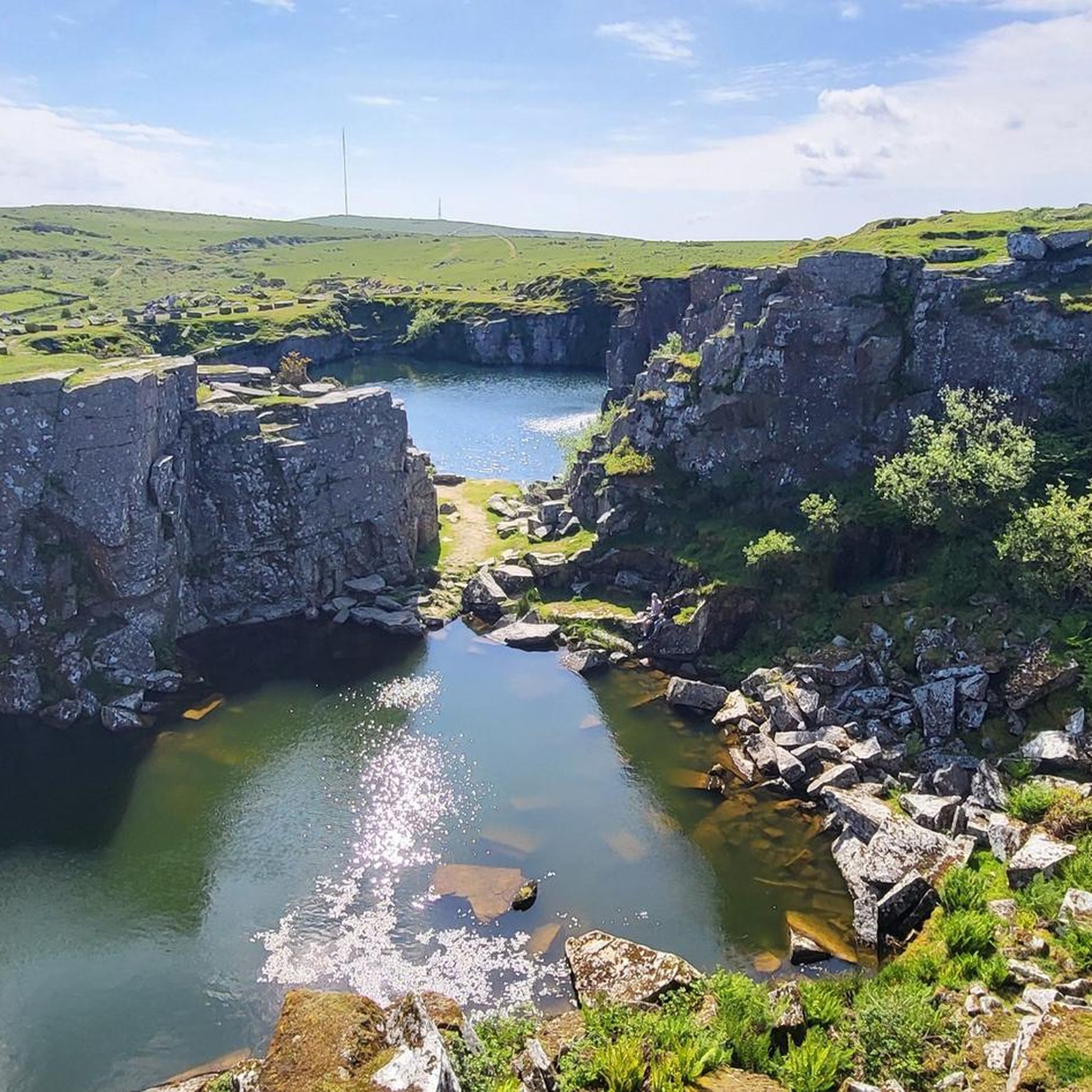
Hikes around St Cleer explore the southeastern edge of Bodmin Moor, an Area of Outstanding Natural Beauty. The region's terrain is a mix of open moorland with granite tors, ancient oak woodlands, and lakeside paths. Routes often pass historical sites, including prehistoric stone circles and remnants of Cornwall's mining past.
Best hiking trails around St. Cleer
- The most popular hiking route is Cheesewring loop from Minions — Cornwall, a 2.3 mile (3.7 km) trail that takes about 1 hour to complete. This route leads to the Cheesewring, a natural rock formation on Bodmin Moor.
- Another top favourite among local hiking enthusiasts is Sibleyback Lake loop — Cornwall, an easy 2.9 mile (4.7 km) path. This accessible Siblyback Lake circular walk follows the shoreline of the reservoir.
- Local hiking enthusiasts also love the Trethevy Quoit & St Cleer loop from Golitha Falls — Cornwall, a 7.3 mile (11.7 km) trail leading through woodland and past prehistoric sites, often completed in about 3 hours 15 minutes.
- Hiking around St. Cleer is defined by open moorland, ancient woodlands, and lakeside paths. The network of trails provides both easy, accessible routes and more moderate hikes for different ability levels.
- The routes in St. Cleer are highly rated by the komoot community with an average score of 4.5 stars from more than 80 reviews. More than 750 hikers have used komoot to explore St. Cleer's varied terrain.
Last updated: October 10, 2026
4.9
(23)
377
hikers
4.70km
01:12
20m
20m
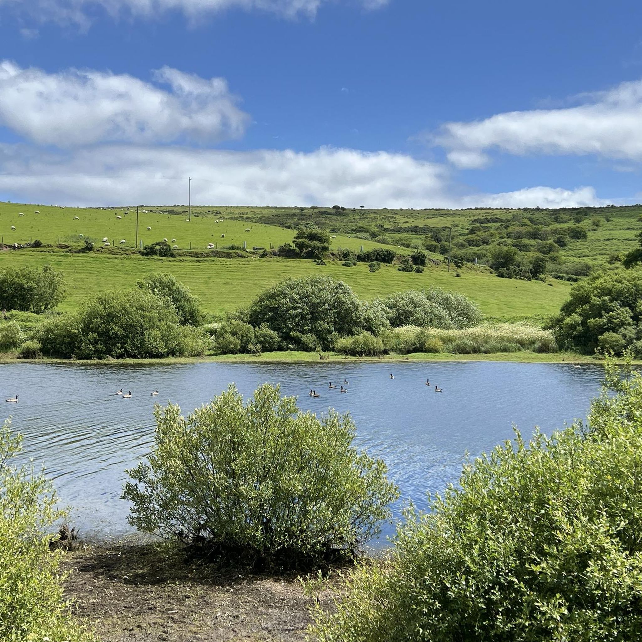
The Siblyback Lake Trail offers an easy hiking experience, covering 2.9 miles (4.7 km) with a gentle elevation gain of just 53 feet (16 metres). You can expect to complete this route in about 1 hour and 11 minutes, making it perfect for a relaxed outing. As you hike, you'll enjoy continuous views of Siblyback Lake, with Tregarrick Tor visible in the distance across the water, and pass through varied sections of woodland and open fields.
Planning your visit to Siblyback Lake is straightforward, as the trail is largely flat and features a hard-packed surface. This makes it suitable for pushchairs, wheelchairs, and even cyclists, though comfortable footwear is always a good idea. You will find convenient facilities along the way, including the Olive & Co Cafe for refreshments, public toilets, and ample picnic areas to enjoy. Be aware that some parts of the path might become soft or puddle-filled after heavy rain.
This route is situated on the edge of Bodmin Moor, providing a scenic backdrop to your walk. The trail follows the lake's shoreline, offering opportunities for bird watching, with a dedicated bird hide available for enthusiasts. It's an ideal choice if you are looking for an accessible and gentle walk that combines natural beauty with practical amenities, making it a popular spot for families and beginners alike.
3.6
(17)
99
hikers
9.87km
02:37
90m
90m
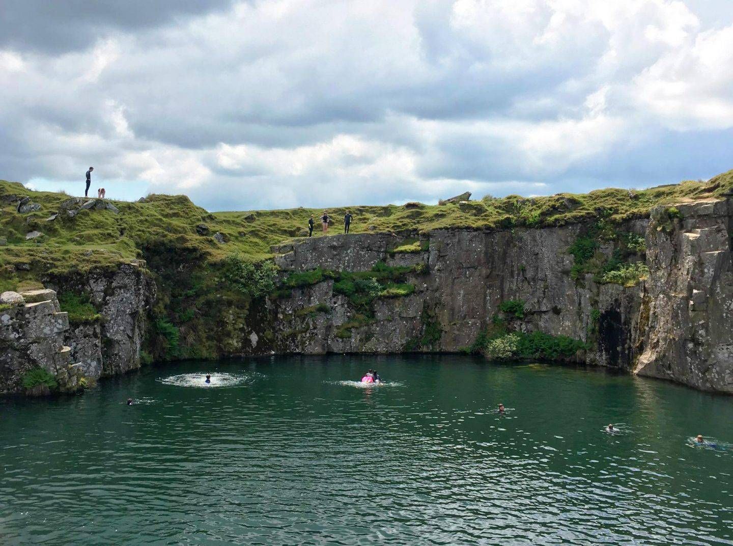
Hike the moderate 6.1-mile Golitha Falls and Siblyback Lake Trail, exploring ancient woodlands, cascading waterfalls, and tranquil lakeside

4.9
(16)
46
hikers
6.43km
01:46
100m
100m
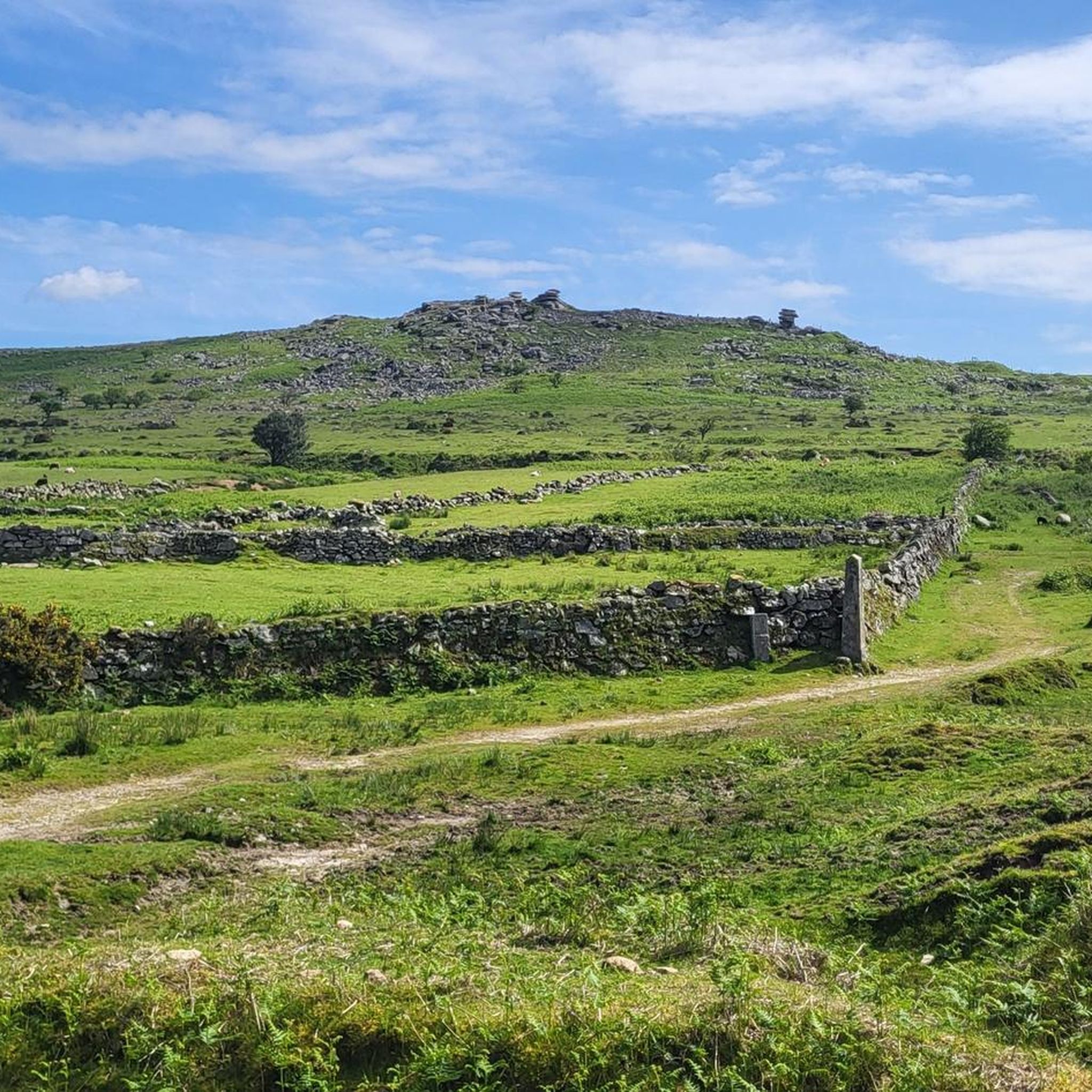
Embark on an easy 4.0-mile (6.4 km) hike around the Cheesewring & South Phönix Nine loop from Minions, a journey that typically takes about 1 hour and 45 minutes. You will experience a gentle climb of 334 feet (102 metres) as you traverse open moorland and rocky sections, offering panoramic views across Bodmin Moor. The dramatic Cheesewring, a unique weather-sculpted granite tor, stands out as a key visual landmark on this route, providing a striking focal point amidst the rugged landscape.
When planning your visit, be aware that while the trail is generally easy, the moorland environment means paths can sometimes be indistinct, so carrying a map or using a navigation app is recommended. Waterproof boots are advisable to handle potentially damp or uneven terrain. You can usually find parking conveniently located in Minions, often near the Minions Heritage Centre, which serves as a good starting point for your adventure.
This route offers a fascinating blend of natural geological wonders and rich historical context. Beyond the natural formations, you will encounter the ancient Hurlers Stone Circles, hinting at prehistoric human activity in the area. The trail also passes relics of the South Phoenix Mine, providing a glimpse into the region's industrial past and its significant mining heritage, making it a notable exploration of both nature and history.
5.0
(10)
29
hikers
3.70km
01:00
50m
50m
Hike the 2.3-mile (3.7 km) Cheesewring loop from Minions, a moderate route through Bodmin Moor's unique granite formations and ancient sites
5
hikers
11.7km
03:14
200m
200m
Moderate hike. Good fitness required. Easily-accessible paths. Suitable for all skill levels.
Get access to more routes and recommendations from other explorers.
Already have an account?
Our route recommendations are based on thousands of hikes, rides, and runs completed by other people on komoot.
Start today with a free account
Your next adventure awaits.
Other adventures around St. Cleer

Tips from the Community

Numerous remains can still be seen today, including the route of the railway tracks that transported the ore to Looe Harbour and the engine houses that were used to pump water out of the mines or to lift out the rocks.
6
0
Cornwall's World Heritage Site In 2006 Cornwall and West Devon was declared a World Heritage Site because of the important role its mining history has played in metal extraction around the world. There was a saying in the late 19th century: "If there's a hole in the ground, you'll find a Cornish man in it." When Cornwall's mines failed, men travelled the world in search of riches and engine houses very similar to the one pictured above can be found in places as far away as Mexico, South Africa and New Zealand. The village of Minions exists thanks to mining. Before 1800 there was little here except a few farmhouses in the sheltered valleys. But in the 1830s copper was discovered beneath Caradon Hill and the area was soon flooded with miners from all over Cornwall.
6
0
Please note: Bodmin Moor is notorious for its changeable weather conditions, so please bring suitable clothing as the location is remote and very exposed.
6
0
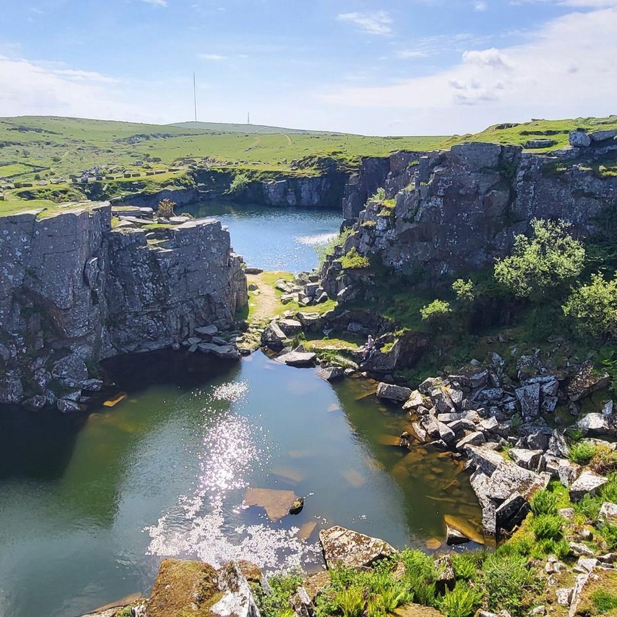
This landmark is located next to the Cheesewring Quarry (which provided the granite cladding for the structure of Tower Bridge in London) and is surrounded by other granite formations. In the late 19th century, this landmark was threatened with destruction due to its proximity to blasting operations, but was saved through local activism.
8
0
Three beautiful Neolithic or Early Bronze Age stone circles arranged in a line, a unique grouping in England. The Hurlers Stone Circles are probably the best examples of ceremonial circles in the South West. https://www.english-heritage.org.uk/visit/places/hurlers-stone-circles/
7
0

Siblyback Lake is a reservoir on the edge of Bodmin Moor. The dam blocks a small tributary of the River Fowey.
0
0

On the shore of Siblyback Lake sits Olive & Co. Open for breakfast and lunch it also serves teas, coffees and cakes, including vegan and gluten free options. Watching over the calm waters of the reservoir, sitting and enjoying a brew or something to eat makes a lovely end to a run.
0
0
The dam was built in 1968 to create the reservoir which provides drinking water and tops up the water levels of the River Fowey during the dry months. Once a small tributary of the River Fowey, Siblyback Lake now holds 3 billion litres of water.
0
0
Frequently Asked Questions
Are there any dog-friendly walks around St. Cleer?
Yes, the area around St. Cleer is very welcoming to dogs. The open moorland offers plenty of space for them to explore. For a specific route, the Cheesewring & South Phönix Nine loop from Minions — Cornwall is a great option. Please be mindful of livestock on the moors and keep your dog under control, especially during lambing season.
What are the best family-friendly or easy hikes in the area?
Siblyback Lake offers one of the most accessible walks in the region. The Sibleyback Lake loop — Cornwall is an easy, relatively flat 5 km trail around the reservoir, making it suitable for pushchairs, wheelchairs, and walkers of all abilities.
Where can I find walks with waterfalls near St. Cleer?
Golitha Falls National Nature Reserve is the primary destination for waterfall walks. The River Fowey cascades through a beautiful ancient oak woodland here. You can explore this area on the Golitha Falls & Siblyback Lake loops — Cornwall trail. The falls are particularly impressive after heavy rain.
Are there any circular walks that start from Minions?
Yes, Minions is a popular starting point for several circular hikes on Bodmin Moor. A well-regarded route is the Cheesewring loop from Minions — Cornwall, which takes you to the famous Cheesewring rock formation and offers fantastic views across the moor.
Can I visit historical or prehistoric sites on a walk?
Absolutely. The St. Cleer area is rich in history. For a comprehensive tour of ancient sites, consider the Trethevy Quoit & St Cleer loop from Golitha Falls — Cornwall. This route passes by the Neolithic burial chamber of Trethevy Quoit and other local landmarks.
What is the terrain like for hiking around St. Cleer?
The hiking terrain is varied. You'll find open, sometimes boggy, moorland with granite tors like the Cheesewring, sheltered ancient oak woodlands around Golitha Falls, and flat, accessible paths around Siblyback Lake. Trails can be rocky and uneven on the moor, so sturdy footwear is recommended.
Where is the best place for parking when starting a hike?
Parking availability depends on your chosen walk. For hikes around the Cheesewring and The Hurlers, there is a well-known free car park in the village of Minions. For walks at Golitha Falls, there is also a dedicated car park, which includes a small cafe.
Are there any pubs or cafes on the walking routes?
Yes, you can find refreshments near some of the main walking hubs. The village of Minions has a pub that is popular with walkers exploring the moors. Additionally, there is a cafe located in the car park at Golitha Falls, offering a convenient stop before or after your walk.
How difficult are the hikes in the St. Cleer area?
The hikes around St. Cleer are generally considered easy to moderate. There are 19 easy and 14 moderate routes available. You won't find any officially graded difficult or alpine-style treks, making it an accessible region for most regular walkers and families.
What do other hikers enjoy most about the trails around St. Cleer?
The trails are highly regarded by the komoot community, with an average rating of 4.5 stars. Hikers often praise the unique combination of wild moorland scenery, fascinating prehistoric sites like stone circles, and the tranquil beauty of the woodland river valleys.
How many hiking trails are available around St. Cleer?
There is a great selection of trails to choose from. You can find over 30 different hiking routes around St. Cleer, ranging from short, easy strolls to more substantial moderate-level treks across the moor and through woodlands.
Most popular routes around St. Cleer
Most popular attractions around St. Cleer

Get inspired with the komoot mobile app


Explore more
Browse the best Hikes in other regions.
