The best running trails around Claragh
4.7
(12)
1,906
runners
56
runs
Jogging around Claragh offers routes through diverse landscapes in northwest County Cork, Ireland. The region features rolling hills, part of the Derrynasaggart Mountains, with a broad, rounded profile and gentle to moderate slopes. Runners can experience a mix of forested hillsides, open moorland, and upland blanket bog, with small streams meandering down the flanks. From higher elevations, panoramic views of the surrounding countryside, including the Derrynasaggart Mountains, are available.
Best jogging routes around Claragh
- The most popular jogging route is…
Last updated: August 8, 2026
5.0
(1)
29
runners
Hard run. Very good fitness required. Mostly paved surfaces. Suitable for all skill levels.
20
runners
18.9km
02:00
200m
200m
Hard run. Very good fitness required. Mostly paved surfaces. Suitable for all skill levels.

Sign up for free
18
runners
30.2km
03:11
200m
200m
Hard run. Very good fitness required. Mostly paved surfaces. Suitable for all skill levels.
15
runners
Hard run. Very good fitness required. Mostly paved surfaces. Suitable for all skill levels.
8
runners
8.77km
01:02
50m
50m
Moderate run. Good fitness required. Mostly paved surfaces. Suitable for all skill levels.
Get access to more routes and recommendations from other explorers.
Sign up for free
Already have an account?
Our route recommendations are based on thousands of hikes, rides, and runs completed by other people on komoot.
Start today with a free account
Your next adventure awaits.
Login or Signup

Tips from the Community


This picturesque spot is located between Dundrum Bay and Murlough Bay and offers impressive views of the surrounding countryside. The paths there lead through the Murlough National Nature Reserve, a 6,000-year-old dune system that is great for cycling. However, some sections can become slippery in wet weather, so care must be taken. A particular highlight is the Downshire Bridge, which connects the village of Dundrum with the nature reserve and provides a charming crossing over the bay.
1
0
The ancient stone arches are perfectly reflected in the calm water, creating an image of timeless elegance. Cycling along here almost feels like a journey back in time - as if you are capturing a moment in another time.
1
0
This historic 10th century tower stands in idyllic countryside and offers a fascinating insight into Ireland's early Christian history. Access is via narrow country lanes; there is a small car park but it is not always well signposted. The tower is on private farmland but access is usually permitted.
1
0
The small, historic port provides a charming setting with views of the Mourne Mountains and the sea. The promenade is well maintained and is great for a relaxing cruise along the coast. However, it can get quite busy in good weather and at weekends, which can slow down the journey. A highlight is the proximity to Murlough National Nature Reserve, which is just a few kilometers away and is ideal for further exploration. Note, however, that some sections of the promenade can be slippery when wet, so care must be taken.
1
0

A very beautiful castle in the forest
0
0
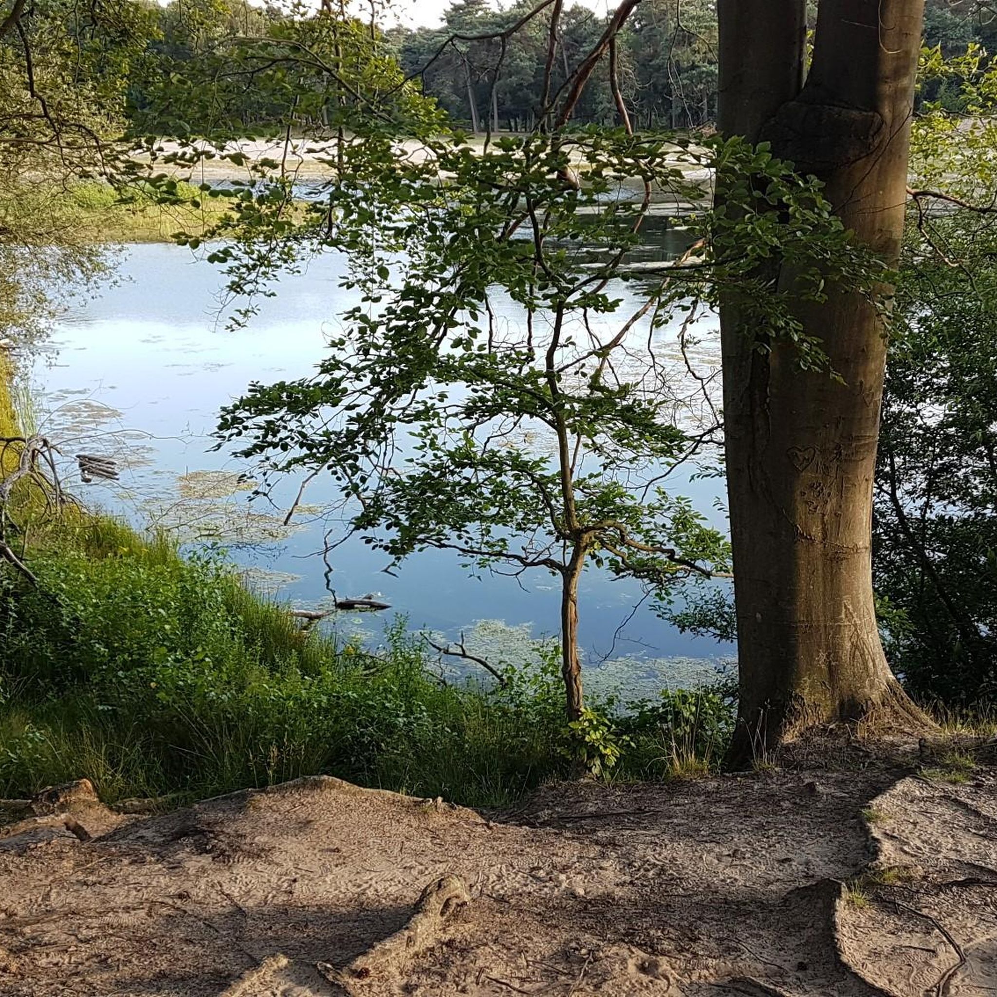
Reservoir with castle and forest
0
0
A beautiful reservoir surrounded by forest including a beautiful castle
0
0
Frequently Asked Questions
How many running routes are available around Claragh?
There are over 60 running routes around Claragh, offering a wide variety of experiences. These include options for different fitness levels, from moderate to more challenging ascents.
Are there any easy jogging routes for beginners in Claragh?
Yes, Claragh offers several easier jogging routes. While many trails involve undulating terrain, there are 6 routes specifically categorized as easy, perfect for beginners or those looking for a less strenuous run.
What kind of terrain can I expect on the jogging trails in Claragh?
The jogging trails in Claragh offer a diverse range of terrain. You'll encounter forested hillsides, open moorland, lush green fields, and dense woodlands. The slopes can be steep and rugged, reflecting the Upper Carboniferous sandstones, siltstones, and mudstones that characterize the area.
Are there any circular running routes in Claragh?
Yes, the most notable is the Claragh Loop trail, a well-marked circuit that typically ranges from 8.6 km to 11 km. This purple-marked trail incorporates laneways, hillside tracks, and paths, offering a varied running experience. There's also a shorter 5.6-kilometer variant of the Claragh Loop.
What are the best routes for panoramic views of the North Cork countryside?
Many routes ascending Claragh Mountain offer breathtaking panoramic views. A shorter 5.6-kilometer variant of the Claragh Loop provides direct summit access with steeper sections, rewarding runners with expansive vistas across the North Cork countryside, including peaks like Musheramore and the River Blackwater valley.
Are there any historical sites or landmarks to see while running in Claragh?
Yes, Claragh Mountain holds historical significance. Along the Claragh Loop, you can find a cillín, a famine-era burial ground. The mountain's summit also features archaeological evidence of early human activity, including the remains of a Late Bronze Age hillfort and a ruined cairn. While not directly on the jogging routes, you can also explore nearby attractions like Ballynoe Stone Circle or View of Castlewellan Castle.
What do other runners say about the trails in Claragh?
The running routes in Claragh are highly rated by the komoot community, with an impressive average score of 4.7 stars from over 10 reviews. Runners often praise the varied terrain, the challenging ascents, and the rewarding panoramic views from the summit.
Can I spot any wildlife while jogging in Claragh?
Yes, the diverse landscapes of Claragh Mountain provide opportunities for wildlife spotting. In the woodlands and open moorlands, you might encounter native birds such as chaffinches, robins, and blackbirds, as well as small mammals like hares and foxes.
Is there parking available near the Claragh running trails?
Yes, the Claragh Loop trail, a popular starting point for many runs, typically begins from Millstreet GAA Community Hall, where parking facilities are generally available for visitors.
What are some challenging running routes in Claragh?
For those seeking a challenge, Claragh offers 11 difficult running routes. These often feature significant ascents, with some routes gaining around 360 to 400 meters (1,180 to 1,310 feet) in elevation, and cover rugged, steep slopes.
Are there any routes that combine running with views of natural monuments?
While the Claragh trails themselves offer stunning natural beauty, you can extend your exploration to nearby natural monuments. For example, the Murlough Nature Reserve loop from Dundrum offers coastal views, and you can visit highlights like Slieve Croob Summit for expansive vistas.
Most popular routes around Claragh
Most popular attractions around Claragh

Get inspired with the komoot mobile app


Explore more
Browse the best Running Trails & Routes in other regions.
