The best walks and hikes around Drumadonnell
4.7
(248)
2,699
hikers
57
hikes
Hiking around Drumadonnell offers access to diverse landscapes in the Banbridge area of Northern Ireland, characterized by its proximity to the Mourne Mountains and several forest parks. The region features granite-topped hills, expansive heathland, and drumlin landscapes. Trails often traverse ancient woodlands and provide views of the surrounding countryside, including Castlewellan Lake and the Mourne Area of Outstanding Natural Beauty. The Drumadonnell hiking trails offer varied terrain and elevation for different skill levels.
Best hiking trails around Drumadonnell
- The most…
Last updated: June 27, 2026
5.0
(9)
32
hikers
Moderate hike. Good fitness required. Easily-accessible paths. Suitable for all skill levels.
5.0
(3)
32
hikers
Easy hike. Great for any fitness level. Easily-accessible paths. Suitable for all skill levels.

Sign up for free
18
hikers
Moderate hike. Good fitness required. Easily-accessible paths. Suitable for all skill levels.
5.0
(1)
4
hikers
Easy hike. Great for any fitness level. Easily-accessible paths. Suitable for all skill levels.
6
hikers
Easy hike. Great for any fitness level. Easily-accessible paths. Suitable for all skill levels.
Get access to more routes and recommendations from other explorers.
Sign up for free
Already have an account?
Our route recommendations are based on thousands of hikes, rides, and runs completed by other people on komoot.
Start today with a free account
Your next adventure awaits.
Login or Signup
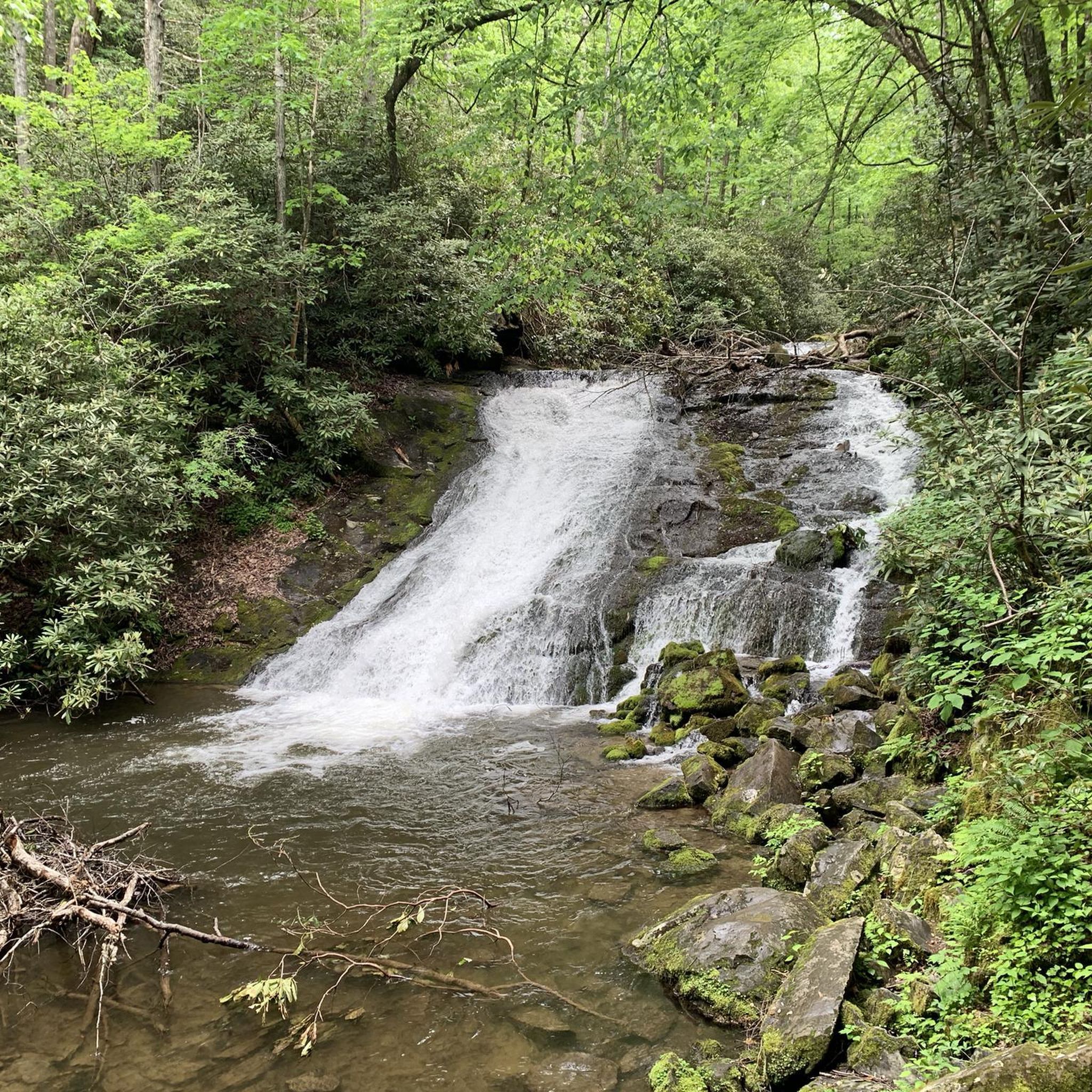


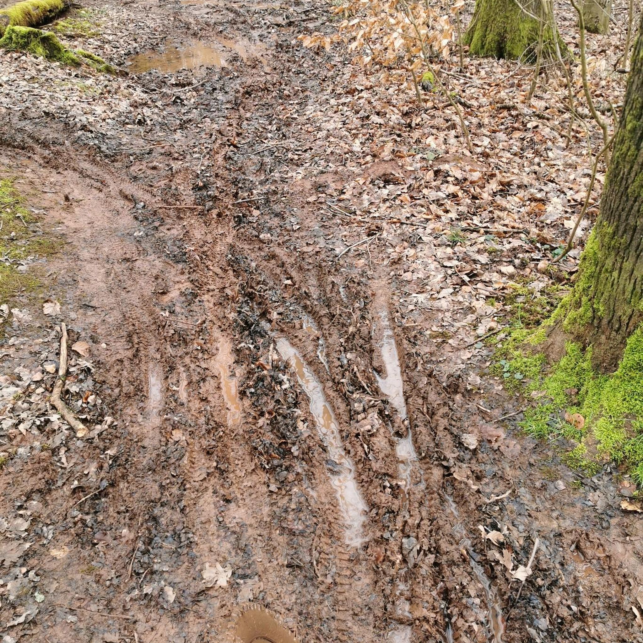
Tips from the Community

A very beautiful castle in the forest
0
0
Reservoir with castle and forest
0
0
A beautiful reservoir surrounded by forest including a beautiful castle
0
0

Home to one of the most outstanding tree and shrub collections in Europe. However this beaut has numerous features to spend your time in. There's famous lakes, a stunning Victorian Castle, incredible panoramic views, scenic walking trails, 27km of Mountain Bike Trails, an onsite multi activity centre, hedge maze and equestrian centre, Castlewellan Forest Park boasts all of this and more. A real gem
1
0

Frequently Asked Questions
What kind of hiking trails can I expect around Drumadonnell?
Hiking around Drumadonnell offers a diverse range of landscapes, primarily characterized by its proximity to the Mourne Mountains and several forest parks. You'll find trails traversing ancient woodlands, granite-topped hills, expansive heathland, and the unique drumlin landscape of County Down. Many routes provide scenic views of the surrounding countryside, including Castlewellan Lake and the Mourne Area of Outstanding Natural Beauty.
How many hiking routes are available in the Drumadonnell area?
There are over 50 hiking routes available around Drumadonnell, catering to various skill levels. You'll find a good mix of easy, moderate, and more challenging trails to explore.
What are the typical difficulty levels of hikes around Drumadonnell?
The trails around Drumadonnell offer a good range of difficulty levels. Approximately 25 routes are considered easy, 26 are moderate, and 8 are more difficult, ensuring options for both casual ramblers and experienced hikers.
Are there any family-friendly walks near Drumadonnell?
Yes, the region offers several family-friendly options. For instance, the View of Castlewellan Castle – Castlewellan Lake loop from Dollys Brae Car Park is an easy 4.1-mile (6.6 km) path that provides a relatively flat circular loop around Castlewellan Lake, perfect for families. Castlewellan Forest Park also features the Giant's Lair, a magical story trail popular with children.
What do other hikers enjoy most about the trails in Drumadonnell?
The hiking trails around Drumadonnell are highly rated by the komoot community, with an average score of 4.6 stars from over 200 reviews. Hikers often praise the varied terrain, the stunning views of the Mourne Mountains and Castlewellan Lake, and the well-maintained paths through forest and open countryside.
What natural features and landmarks can I see while hiking near Drumadonnell?
The region is rich in natural beauty and interesting landmarks. You can explore the majestic Mourne Mountains, an Area of Outstanding Natural Beauty. Specific highlights include Slieve Croob Summit, Tollymore Forest Park, and the historic Slieve Meelmore summit shelter. The area also features ancient woodlands, Castlewellan Lake, and the iconic Mourne Wall.
Are there any circular walks available around Drumadonnell?
Yes, many routes in the area are circular. A popular choice is the Slievenaslat Summit – View of Castlewellan Castle loop from Dollys Brae Car Park, a moderate 6.1-mile (9.9 km) trail offering excellent views. Another option is the easier View of Castlewellan Castle – Castlewellan Lake loop from Dollys Brae Car Park, which circles Castlewellan Lake.
What are the typical lengths and durations of hikes in this area?
Hikes around Drumadonnell vary in length and duration. For example, the Slievenaslat Summit – View of Castlewellan Castle loop is about 6.1 miles (9.9 km) and takes nearly 3 hours. An easier option like the Castlewellan Lake loop is 4.1 miles (6.6 km) and can be completed in just over 2 hours. There are options for shorter strolls and longer excursions.
What are the parking options for hiking trails near Drumadonnell?
Many popular trailheads, especially within forest parks like Castlewellan Forest Park, offer dedicated car parks. For example, several routes mentioned, such as the View of Castlewellan Castle – View of Mourne AONB loop, start from Dollys Brae Car Park. Parking fees may apply at some locations, particularly in forest parks.
Are there any dog-friendly hiking trails around Drumadonnell?
Many trails in the region, particularly within forest parks, are dog-friendly, though dogs are usually required to be kept on a lead. It's always best to check specific park regulations before visiting. The varied terrain and open spaces make it a great area for walks with your canine companion.
When is the best time of year to go hiking around Drumadonnell?
The Drumadonnell area, including the Mourne Mountains and surrounding forest parks, is enjoyable for hiking throughout much of the year. Spring and autumn offer pleasant temperatures and beautiful scenery with blooming wildflowers or vibrant foliage. Summer provides longer daylight hours, while winter can offer crisp, clear days, though conditions on higher ground in the Mournes can be challenging and require appropriate gear.
Where can I find amenities like cafes or accommodation near the hiking routes?
While Drumadonnell itself is a smaller area, nearby towns and villages such as Castlewellan offer various amenities. You'll find cafes, pubs, and accommodation options in these larger settlements, which are conveniently located close to many of the popular hiking areas and forest parks.
Most popular attractions around Drumadonnell

Get inspired with the komoot mobile app


Explore more
Browse the best Hikes in other regions.
