The best road cycling routes around Ulleskelf
4.7
(68)
2,976
riders
103
rides
Road cycling routes around Ulleskelf are situated on the southernmost edge of the Vale of York, near the River Wharfe, offering a serene environment for exploration. The region features a picturesque rural landscape with quiet country lanes and views of rapeseed fields. Routes often boast well-paved surfaces, catering to various fitness levels with options ranging from moderate rides to more challenging, longer distances with greater ascents.
Best road cycling routes around Ulleskelf
- The most popular road cycling route is Saxon…
Last updated: July 20, 2026
5.0
(1)
35
riders
39.9km
01:52
330m
330m
Moderate road ride. Good fitness required. Some segments of this route may be unpaved and difficult to ride.
3
riders
38.1km
01:46
300m
300m
Easy road ride. Great for any fitness level. Mostly well-paved surfaces and easy to ride.

Sign up for free
10
riders
30.9km
01:20
90m
90m
Easy road ride. Great for any fitness level. Mostly well-paved surfaces and easy to ride.
12
riders
134km
05:35
810m
810m
Hard road ride. Very good fitness required. Mostly well-paved surfaces and easy to ride.
9
riders
61.0km
02:31
230m
230m
Moderate road ride. Good fitness required. Mostly well-paved surfaces and easy to ride.
Get access to more routes and recommendations from other explorers.
Sign up for free
Already have an account?
Our route recommendations are based on thousands of hikes, rides, and runs completed by other people on komoot.
Start today with a free account
Your next adventure awaits.
Login or Signup



Tips from the Community

Scholars describe Ryther Castle as a modest, fortified manor, likely never having substantial defences. It is also known by the name Hall Garth, referring to the field where it stood. The castle's decline is suggested by a 1440 report on Sir William Ryther's estate, which described the manor house and several cottages as being in a "ruinous" or "waste" condition. By the time the de Rhythre family relinquished the estate, the structure was a total loss. Today there is nothing to see here, merely an overgrown beck and bog, largely obscured by trees.
1
0


Loved the fact that they let us take out bikes inside hehe
0
0
Grade I listed building. The surviving fifteenth-century structures formed part of a fortified medieval palace belonging to the Archbishops of York, which was dismantled in the aftermath of the English Civil War. The only remaining parts of the castle are the gatehouse and the banqueting hall. Stones from the destroyed castle were used in the construction of surrounding houses. The foundations of some other structures do remain as well as the castle's cellar, which was excavated in the 19th century. The gatehouse served as a courthouse until the 1930s, before being used as an officers' mess and a building for the Home Guard during World War II. The first fortifications on this site are believed to be those built by King Athelstan in the 10th Century.
1
0
Grade II listed swing bridge opened in 1872. The deck was submerged when the River Ouse flooded in 2015.
1
0
Frequently Asked Questions
How many road cycling routes are available around Ulleskelf?
There are over 110 road cycling routes around Ulleskelf, catering to various fitness levels. This includes 57 easy routes, 50 moderate routes, and 7 challenging routes for experienced cyclists.
What kind of terrain can I expect on road cycling routes near Ulleskelf?
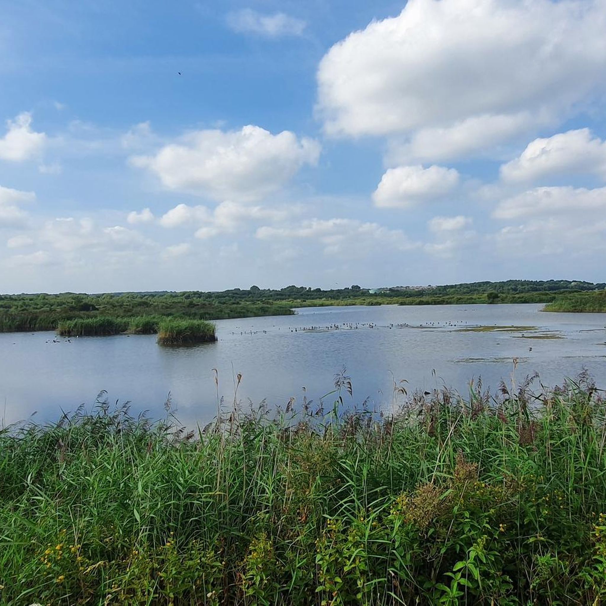
The road cycling routes around Ulleskelf are characterized by quiet country lanes, rolling hills, and views of rapeseed fields. Many routes feature well-paved surfaces, offering smooth rides. The region is situated on the southernmost edge of the Vale of York, near the River Wharfe, providing a serene rural landscape.
Are there any easy or beginner-friendly road cycling routes in the area?
Yes, Ulleskelf offers numerous easy road cycling routes. For example, the All Saints Church – Saxon Signpost loop from Church Fenton is an easy 22.9-mile path that provides a smooth ride through the rural landscape. There are 57 easy routes in total to choose from.
What are some challenging long-distance road cycling routes from Ulleskelf?
For experienced cyclists seeking a challenge, Ulleskelf serves as a starting point for longer, more difficult routes. The Quiet Country Lane – Boroughbridge High Street loop from Ulleskelf is a difficult 72.2-mile trail with significant elevation gain. Another demanding option is the Rolling Country Road – Masham Market Square loop from Ulleskelf, spanning over 84 miles.
What natural features or landmarks can I see along the road cycling routes?
Cyclists can enjoy the tranquil River Wharfe, which flows near Ulleskelf. Notable landmarks include Nellie's Tree, a unique grafted beech sapling. The nearby Trans Pennine Trail: Selby to York Cycle Path and the York Solar System Greenway offer interesting diversions, with the latter featuring a scale model of the solar system.
What do other road cyclists enjoy most about cycling in Ulleskelf?
The road cycling routes in Ulleskelf are highly rated by the komoot community, with an average score of 4.6 stars from over 60 reviews. Cyclists often praise the quiet country lanes, the picturesque rural landscape, and the variety of routes suitable for different ability levels.
Are there any family-friendly road cycling options near Ulleskelf?
While many road cycling routes are on quiet country lanes, for a dedicated family-friendly experience, the nearby Trans Pennine Trail: Selby to York Cycle Path and the York Solar System Greenway are excellent choices. These routes follow former railway lines, offering safe, accessible, and pan-flat cycling on hard-packed gravel surfaces, suitable for all ages.
What is the best time of year for road cycling around Ulleskelf?
The region's picturesque rural landscape, with its rapeseed fields and quiet country lanes, is particularly appealing during spring and summer. These seasons generally offer more favorable weather conditions for cycling, allowing riders to fully enjoy the scenic beauty of the Vale of York.
Is there public transport available to Ulleskelf for cyclists?
Ulleskelf has a railway station, Ulleskelf railway station, which is on the York to Sherburn-in-Elmet line. Cyclists should check train operator policies regarding bike carriage, especially during peak times, as space can be limited.
Where can I find parking for cyclists in Ulleskelf?
Ulleskelf is a village, and parking options typically include on-street parking where permitted or designated village car parks. It's advisable to check local signage upon arrival for specific parking regulations and availability, especially if arriving by car with bikes.
Are there any circular road cycling routes starting from Ulleskelf?
Yes, many of the road cycling routes around Ulleskelf are designed as loops, allowing you to start and finish in the same location. For instance, the challenging Quiet Country Lane – Boroughbridge High Street loop from Ulleskelf is a circular route, as are many of the other tours listed on komoot.
Are there any nature reserves or wildlife areas accessible by bike near Ulleskelf?
The surrounding area boasts several nature reserves, such as Smawthorne Marsh, Letchmire Pastures, and Askham Bog. While these are primarily for walking and observing wildlife, cyclists can often reach their vicinity via road cycling routes. Askham Bog, a survivor of ancient fenlands, is particularly noted for its ecological diversity.
Most popular routes around Ulleskelf
Most popular attractions around Ulleskelf

Get inspired with the komoot mobile app


Explore more
Browse the best Road cycling routes in other regions.
