The best running trails around Whitchurch Canonicorum
4.2
(24)
854
runners
12
runs
Jogging around Whitchurch Canonicorum offers routes through the rolling countryside of the Marshwood Vale, characterized by its diverse landscapes. The area features prominent hills like Golden Cap and Pilsdon Pen, providing elevation and panoramic views. Trails also extend towards the dramatic Jurassic Coast cliffs and along the River Char, offering a mix of inland and coastal running experiences.
Best jogging routes around Whitchurch Canonicorum
- The most popular jogging route is Golden Cap Summit – Golden Cap loop from Charmouth,…
Last updated: July 3, 2026
3.0
(1)
25
runners
11.5km
01:25
370m
370m
Hard run. Very good fitness required. Sure-footedness, sturdy shoes and alpine experience required.
9
runners
18.4km
02:21
570m
570m
Hard run. Very good fitness required. Sure-footedness, sturdy shoes and alpine experience required.

Sign up for free
8
runners
Moderate run. Good fitness required. Mostly paved surfaces. Suitable for all skill levels.
6
runners
9.94km
01:07
230m
230m
Moderate run. Good fitness required. Mostly paved surfaces. Suitable for all skill levels.
5.0
(1)
5
runners
27.5km
03:29
730m
730m
Hard run. Very good fitness required. Sure-footedness, sturdy shoes and alpine experience required.
Get access to more routes and recommendations from other explorers.
Sign up for free
Already have an account?
Our route recommendations are based on thousands of hikes, rides, and runs completed by other people on komoot.
Start today with a free account
Your next adventure awaits.
Login or Signup
Popular around Whitchurch Canonicorum
Trust10 – Trail Runs. In nature, for nature.
20 fantastic trails in North & West Dorset — National Trust
Coastal mountain biking in the South of England and Wales
Hiking around Whitchurch Canonicorum
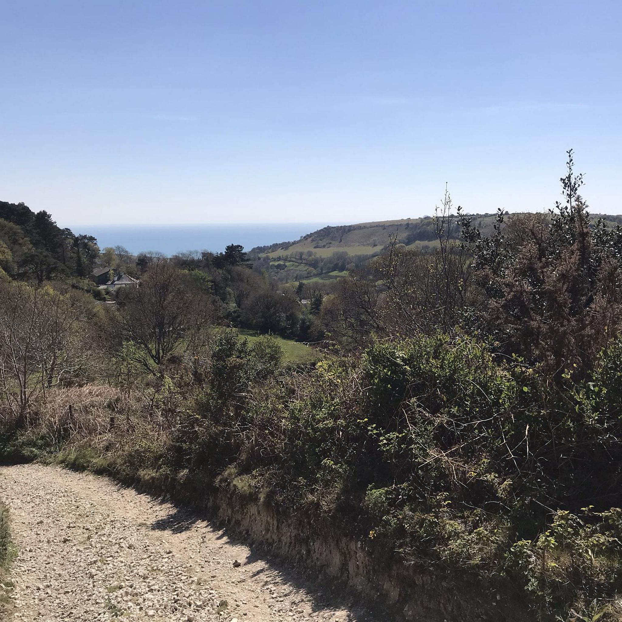
MTB Trails around Whitchurch Canonicorum
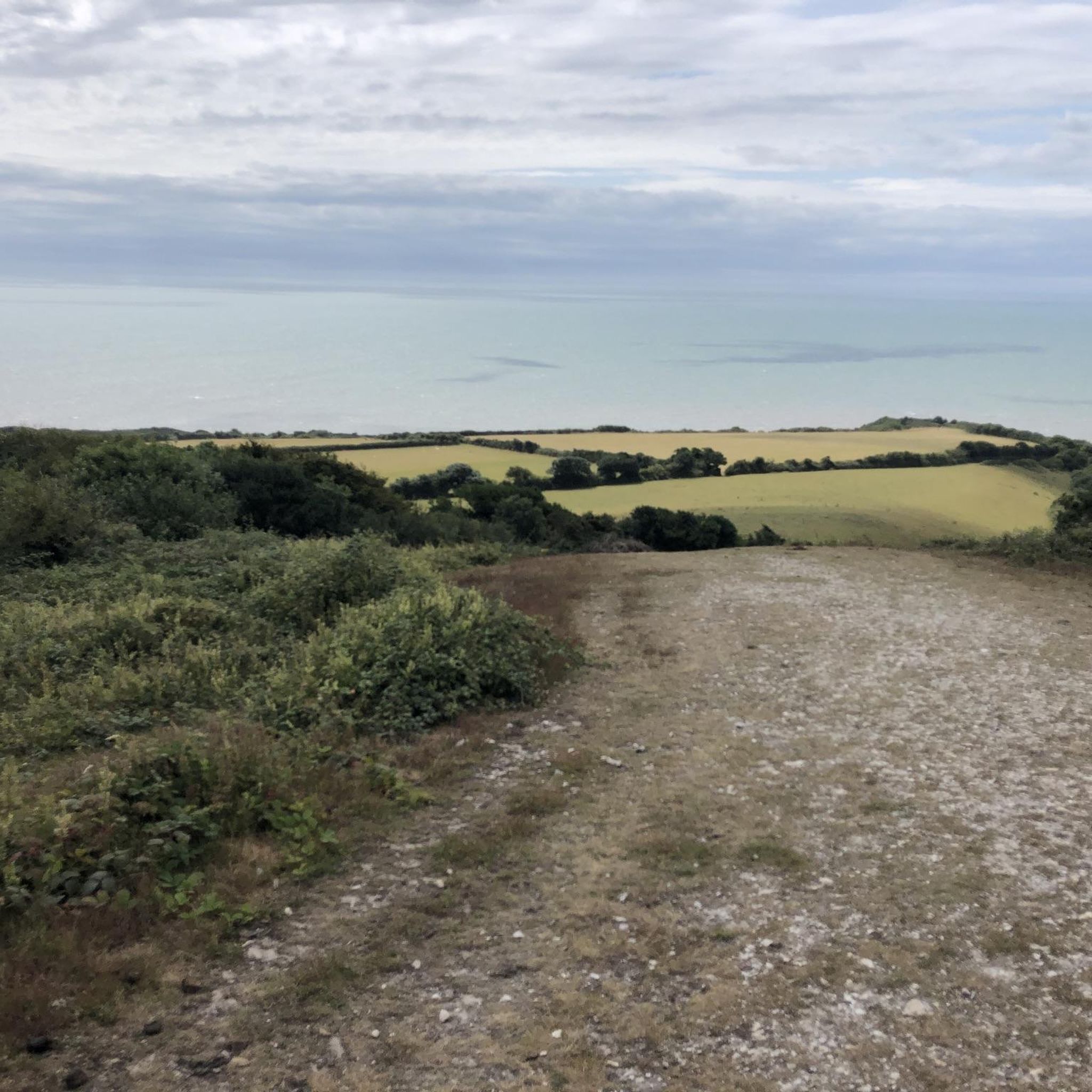
Road Cycling Routes around Whitchurch Canonicorum
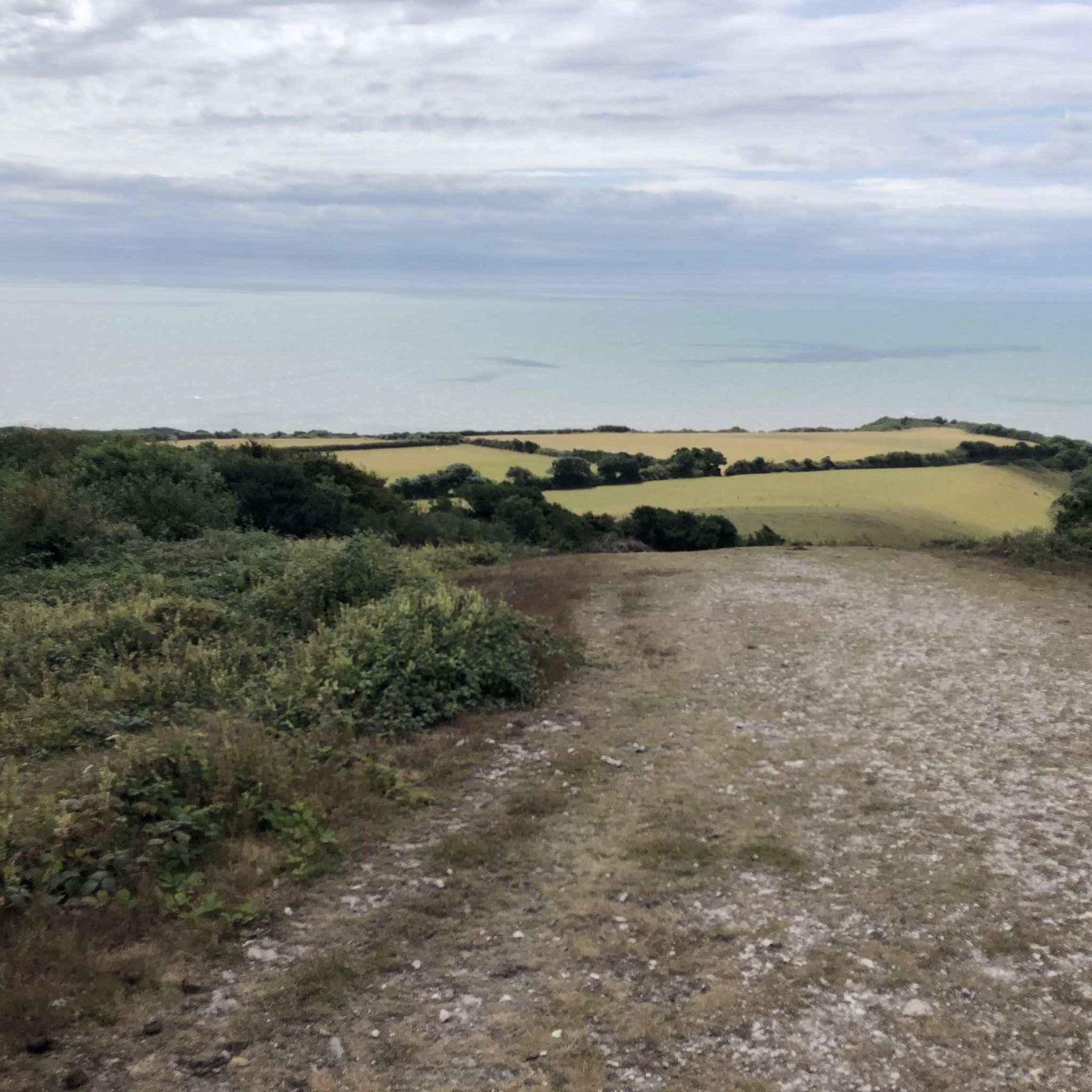
Cycling around Whitchurch Canonicorum
Other adventures around Whitchurch Canonicorum


Tips from the Community

End of the Esplanade past the rocks on the beach is great at sunset
0
0

The Highest point of the JC is atop of golden cap. the views are absolutely spectacular as far as the eye can see.
0
0
Quaint little fishing harbour with eateries and places to sit and enjoy the views
0
0
The highest point on the south coast of England. quite the lung opener and leg burner to reach. well worth it with the views though. Just be careful near the cliff edge. Constantly eroding away.
3
0
Have come across a few of these beacons on my travels down south. They were part of a network of beacons to be lit in case of an attack from the Spaniards in the 15th century.
0
0
Amazing views across the coastline overlooking the Jurassic Coast World Heritage Site. This famous landmark rises to 191m or 627 feet, making it the highest point on the south coast of England. The climb to the top is a challenge, but the reward is worth it. Waiting to greet you on the tranquil summit are panoramic views in all directions, from Portland to the east to Dartmoor in the west.
0
0
Stunning views of Lyme Regis from the top of Stonebarrow hill
0
0

Frequently Asked Questions
How many running routes are available around Whitchurch Canonicorum?
Komoot features around 15 dedicated running routes in the Whitchurch Canonicorum area. These trails offer a variety of experiences, from challenging climbs to scenic loops through the Marshwood Vale.
What is the general difficulty level of running trails in this area?
The running trails around Whitchurch Canonicorum are primarily moderate to difficult. There are 9 moderate routes and 6 difficult routes, often featuring significant elevation changes, especially on trails leading to prominent hills like Golden Cap. Runners should be prepared for varied terrain and some challenging sections.
What do other runners say about the trails in Whitchurch Canonicorum?
The running routes in Whitchurch Canonicorum are highly rated by the komoot community, with an average score of 4.2 stars from over 20 reviews. More than 900 runners have used komoot to explore the area, often praising the stunning natural beauty and diverse landscapes.
Are there any notable landmarks or scenic viewpoints to discover while jogging?
Absolutely! Many running routes offer breathtaking views and pass by significant landmarks. You can reach the highest point on the South Coast at Golden Cap Summit, offering panoramic views over Lyme Bay. Another excellent viewpoint is Pilsdon Pen Summit and Trig Point, which provides expansive views across the Marshwood Vale. You might also encounter the dramatic West Bay Cliffs or the historic Church of St Candida and Holy Cross in the village itself.
Can I find routes that offer coastal views?
Yes, several running routes in the area provide spectacular coastal views, particularly those that venture towards the Jurassic Coast. For instance, the challenging The Fisherman's Rest – Golden Cap loop from Stanton St. Gabriel offers expansive coastal vistas from Golden Cap, the highest point on the South Coast.
Are there any family-friendly running paths suitable for all ages?
While many routes in Whitchurch Canonicorum feature moderate to difficult terrain with significant elevation, there are options for easier runs. Look for trails that stick to the flatter sections of the Marshwood Vale or along the River Char for a more gentle experience. Always check the route details for elevation and surface type to ensure it's suitable for your family's fitness level.
Are dogs allowed on the running trails around Whitchurch Canonicorum?
Many trails in the Whitchurch Canonicorum area, particularly those on public footpaths and bridleways, are dog-friendly. However, it's always advisable to keep dogs on a lead, especially when passing through farmland with livestock or in areas with ground-nesting birds. Be mindful of local signage and ensure your dog is well-behaved and under control.
Are there any circular running routes available?
Yes, many of the running routes around Whitchurch Canonicorum are designed as circular loops, allowing you to start and finish at the same point. An example is the Golden Cap Summit – Golden Cap loop from Charmouth, which offers a rewarding circular experience with significant elevation and views.
What kind of terrain can I expect on the running routes?
The terrain varies significantly. You can expect a mix of rolling countryside paths through the Marshwood Vale, challenging climbs on prominent hills like Golden Cap and Pilsdon Pen, and potentially some paths along the dramatic Jurassic Coast cliffs. Surfaces can range from mostly paved sections to natural, uneven trails requiring sure-footedness.
Are there any running routes that pass by local pubs or cafes?
While specific routes aren't highlighted for passing directly by pubs or cafes, many trails are accessible from or pass near villages where you can find refreshments. Planning your route to start or end in a village like Whitchurch Canonicorum or nearby Charmouth will give you options for a post-run drink or meal.
Where can I park when visiting for a run?
Parking availability varies by trailhead. For routes starting near popular spots like Golden Cap, there are often National Trust car parks available (which may have a fee). For routes originating in villages, look for public car parks or consider parking responsibly on village streets where permitted. Always check specific route details or local information for parking recommendations.
What is a good running route for someone looking for a moderate challenge?
For a moderate challenge, consider the Nettles Along the Trail – Conegar Hill Climb loop from Coney's Castle Hill Fort. This 7.4-mile (11.9 km) trail leads through the Marshwood Vale and offers a good balance of distance and elevation, typically completed in about 1 hour 20 minutes.
Are there any hidden gem running trails in the area?
The region is rich with lesser-known paths. While not a specific route, exploring the trails around Lewesdon Hill, the source of the River Char, can offer a tranquil and less-trafficked running experience with expansive views across the Marshwood Vale. These areas often provide a sense of discovery away from the more popular coastal paths.
Most popular routes around Whitchurch Canonicorum
Most popular attractions around Whitchurch Canonicorum

Get inspired with the komoot mobile app


Explore more
Browse the best Running Trails & Routes in other regions.
