The best running trails around Lac de Roselend
4.7
(44)
5,353
runners
180
runs
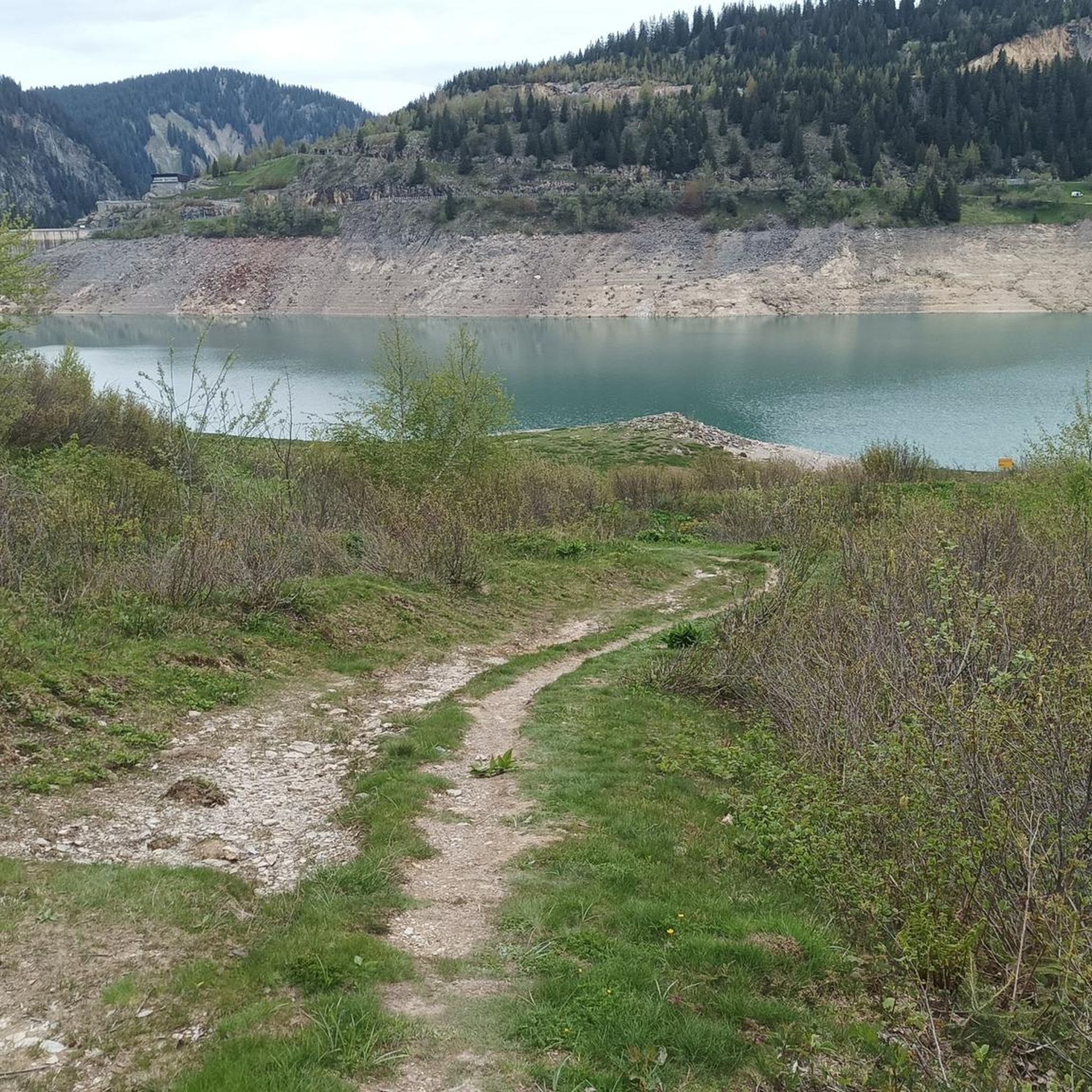
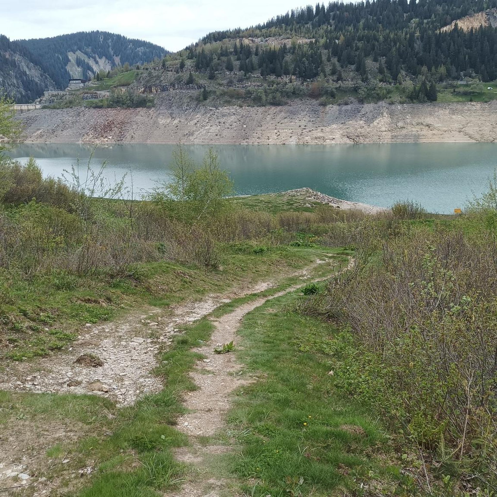
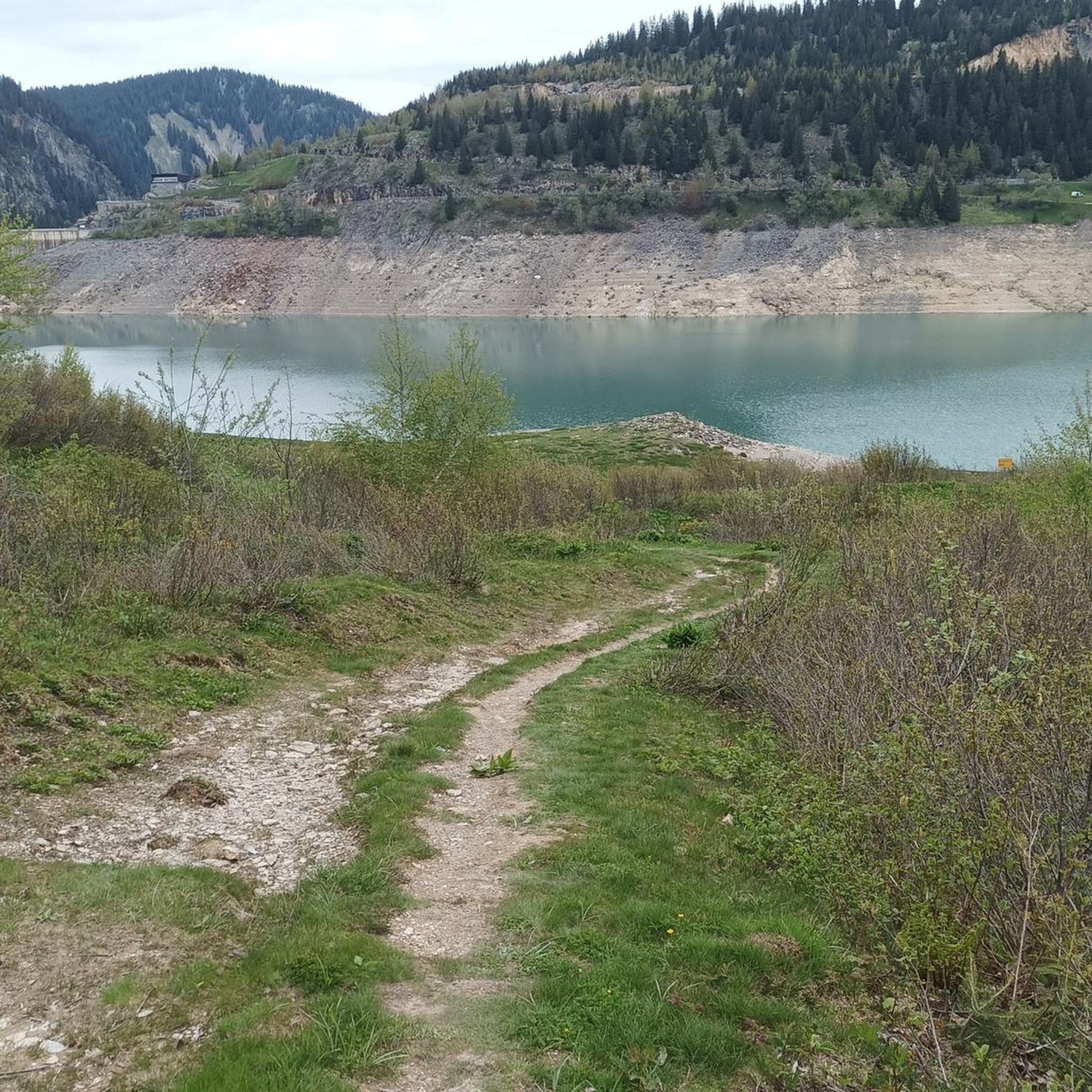
Jogging routes around Lac de Roselend are set amidst the French Alps, featuring the distinctive turquoise waters of the lake formed by the Roselend Dam. The terrain is characterized by majestic mountains, including peaks over 2400 meters, and varied landscapes of alpine pastures and forests. Joggers can expect routes that range from lakeside paths to trails with significant elevation changes.
Best jogging routes around Lac de Roselend
- The most popular jogging route is Roselend Dam – Lake Roselend loop from…
Last updated: July 11, 2026
5.0
(1)
67
runners
16.2km
02:02
400m
390m
Hard run. Very good fitness required. Sure-footedness, sturdy shoes and alpine experience required.
22
runners
15.9km
02:19
600m
600m
Hard run. Very good fitness required. Sure-footedness, sturdy shoes and alpine experience required.

Sign up for free
18
runners
20.2km
03:00
870m
870m
Hard run. Very good fitness required. Sure-footedness, sturdy shoes and alpine experience required.
14
runners
14.9km
01:59
620m
620m
Hard run. Very good fitness required. Sure-footedness, sturdy shoes and alpine experience required.
14
runners
10.9km
01:43
620m
620m
Hard run. Very good fitness required. Sure-footedness, sturdy shoes and alpine experience required.
Get access to more routes and recommendations from other explorers.
Sign up for free
Already have an account?
Our route recommendations are based on thousands of hikes, rides, and runs completed by other people on komoot.
Start today with a free account
Your next adventure awaits.
Login or Signup

Tips from the Community

Very tough climb with several kilometers averaging over 9%. As you ascend, the views of the valley are wonderful.
0
0

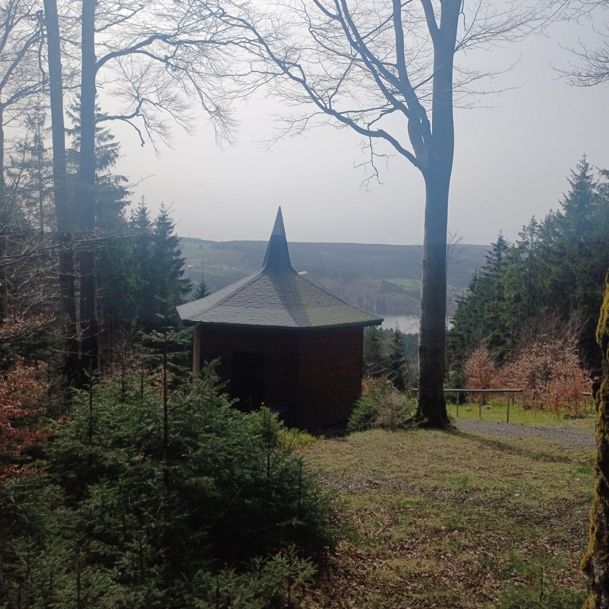
Successful installation in an unusual environment.
0
0

Fantastic views from the ridgeline at the summit 🤩
0
0

My video about the tour of Lake Roselend https://youtu.be/G0Ss9v6wxQQ
1
0
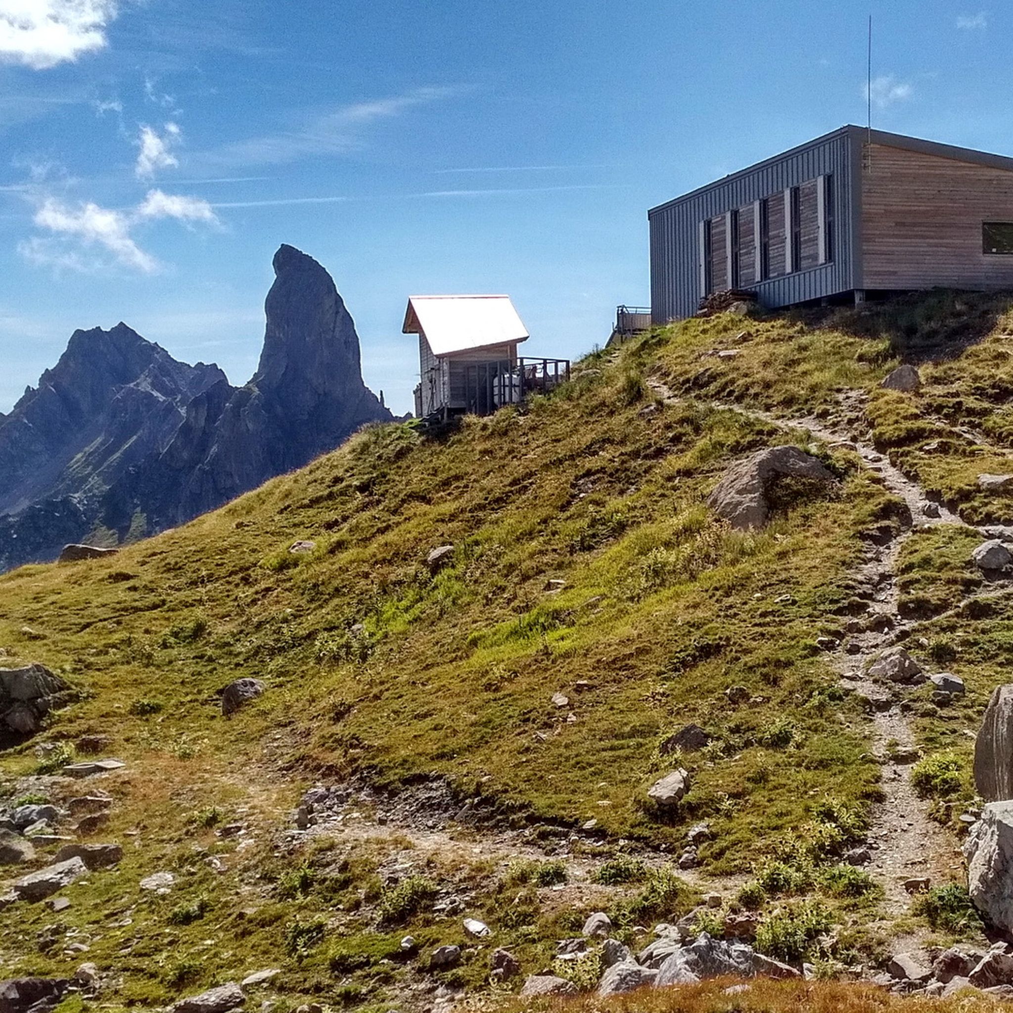
This lake is located at an altitude of 2,248 meters, at the foot of Pierra Menta, a remarkable peak in the Beaufortain massif. https://youtu.be/G0Ss9v6wxQQ
1
0
Totally unusual, the opportunity for a welcome panoramic break
0
0
Incredible views and a breathtaking ridge trail
0
0
Originally, there was a Romanesque chapel in the hamlet of Roselend. It was dedicated to Saint Mary Magdalene. A 13th-century document mentions a chapel that could be this one. More precise sources indicate that the bell was cast in 1608 or that donations were made in 1710, 1757, and 1760. In 1794, it hosted four émigré priests from the valley for their first mass after their return from exile, including the future Archbishop of Chambéry, Antoine Martinet. Submerged when the dam was filled on May 6, 1960, a chapel was rebuilt two years later near the road overlooking the lake, in a more modern style.
1
0
Frequently Asked Questions
How many running routes are available around Lac de Roselend?
There are over 180 running routes documented around Lac de Roselend on komoot. These routes offer a wide range of experiences, from easier lakeside paths to challenging mountain trails with significant elevation changes.
What kind of terrain can I expect on the jogging trails near Lac de Roselend?
The terrain around Lac de Roselend is highly varied. You'll find paths winding through alpine meadows where Tarine cows graze, sections through forests, and trails along the lake's banks. Many routes also involve ascents and descents through the majestic mountains surrounding the lake, offering a good workout and diverse scenery.
Are there any easy running routes for beginners or those looking for a relaxed jog?
While many routes in the area are challenging, there are a few easier options. The guide lists 2 easy routes and 25 moderate routes, which might be suitable for a more relaxed pace or for beginners. Look for paths closer to the lake's edge for generally less strenuous terrain.
What are some notable landmarks or points of interest I might see while running around Lac de Roselend?
As you run, you can encounter several interesting landmarks. The impressive Roselend Dam itself is a significant structure, offering excellent vantage points. You might also spot the charming Roselend Chapel, a small stone chapel rebuilt after the dam's construction. Many routes also offer continuous panoramic views of the Alps and even Mont Blanc.
Are there any circular running routes around Lac de Roselend?
Yes, many of the running routes around Lac de Roselend are circular, allowing you to start and finish at the same point. For example, the challenging Roselend Dam – Lake Roselend loop from Barrage de Roselend is a popular 16.3 km circular trail offering continuous lake and mountain views.
What do other runners say about the trails in Lac de Roselend?
The running routes in Lac de Roselend are highly rated by the komoot community, with an average score of 4.7 stars from over 45 reviews. Over 5000 runners have used komoot to explore the area, often praising the stunning turquoise waters, majestic mountain backdrops, and varied alpine scenery.
Can I find routes that offer significant elevation gain for a challenging workout?
Absolutely. Lac de Roselend is in the French Alps, so many routes feature substantial elevation changes. For instance, the Lake Roselend – La Petite Berge loop from Roc du Biolley is a difficult 15.9 km path with nearly 600 meters of elevation gain, winding through varied alpine scenery.
Are there any routes that pass through mountain passes?
Yes, the region is known for its mountain passes. The Lake Roselend – Lake of Love loop from Barrage de Roselend is a 20.2 km trail that leads through mountain passes, offering panoramic views and a significant challenge with over 860 meters of elevation gain.
What is the best time of year for running around Lac de Roselend?
The best time for running is typically during the warmer months, from late spring to early autumn, when the alpine pastures are green, and the trails are clear of snow. This period allows you to fully appreciate the vibrant turquoise waters and the grazing Tarine cows. Winter running would be more challenging due to snow and ice.
Are there any running routes that offer views of the famous Cormet de Roselend?
Yes, the area is closely associated with the Cormet de Roselend. While not a direct running route, the Ascent of the Cormet de Roselend from Beaufort is a well-known alpine pass that starts from Beaufort and offers magnificent views of the lake and surrounding peaks, providing a challenging road running opportunity or a scenic backdrop for trail runs in the vicinity.
Are there any routes that explore the area around Lake of Love?
Yes, you can find routes that venture towards the Lake of Love. The Lake of Love – Lake of Love loop from Treicol is a challenging 10.8 km route with over 600 meters of elevation gain, offering a focused exploration of that specific area.
Can I find routes that include views of Roche Parstire or Col du Pré?
Certainly. The Roche Parstire – Col du Pré loop from Hauteluce is a challenging 14.8 km route that incorporates these features, providing stunning vistas and a significant workout with over 600 meters of elevation gain.
Most popular routes around Lac de Roselend
Most popular attractions around Lac de Roselend

Get inspired with the komoot mobile app


Explore more
Browse the best Running Trails & Routes in other regions.
