The best mountain hikes around Lac de la Gittaz
4.6
(10)
154
hikers
8
hikes
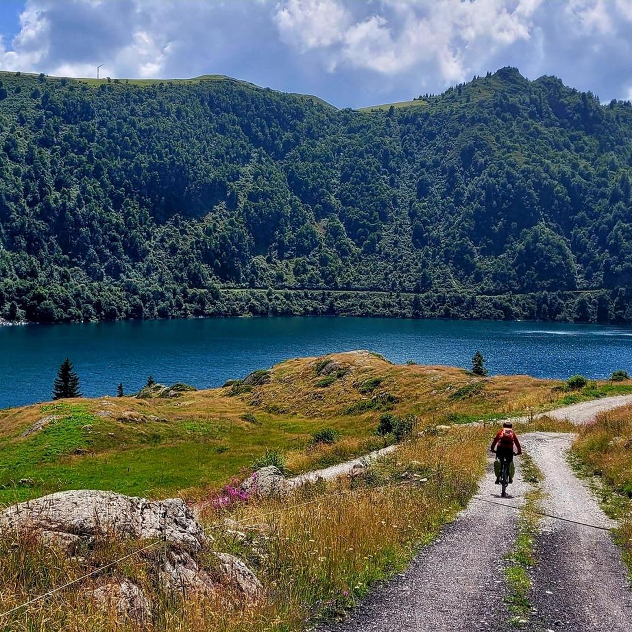
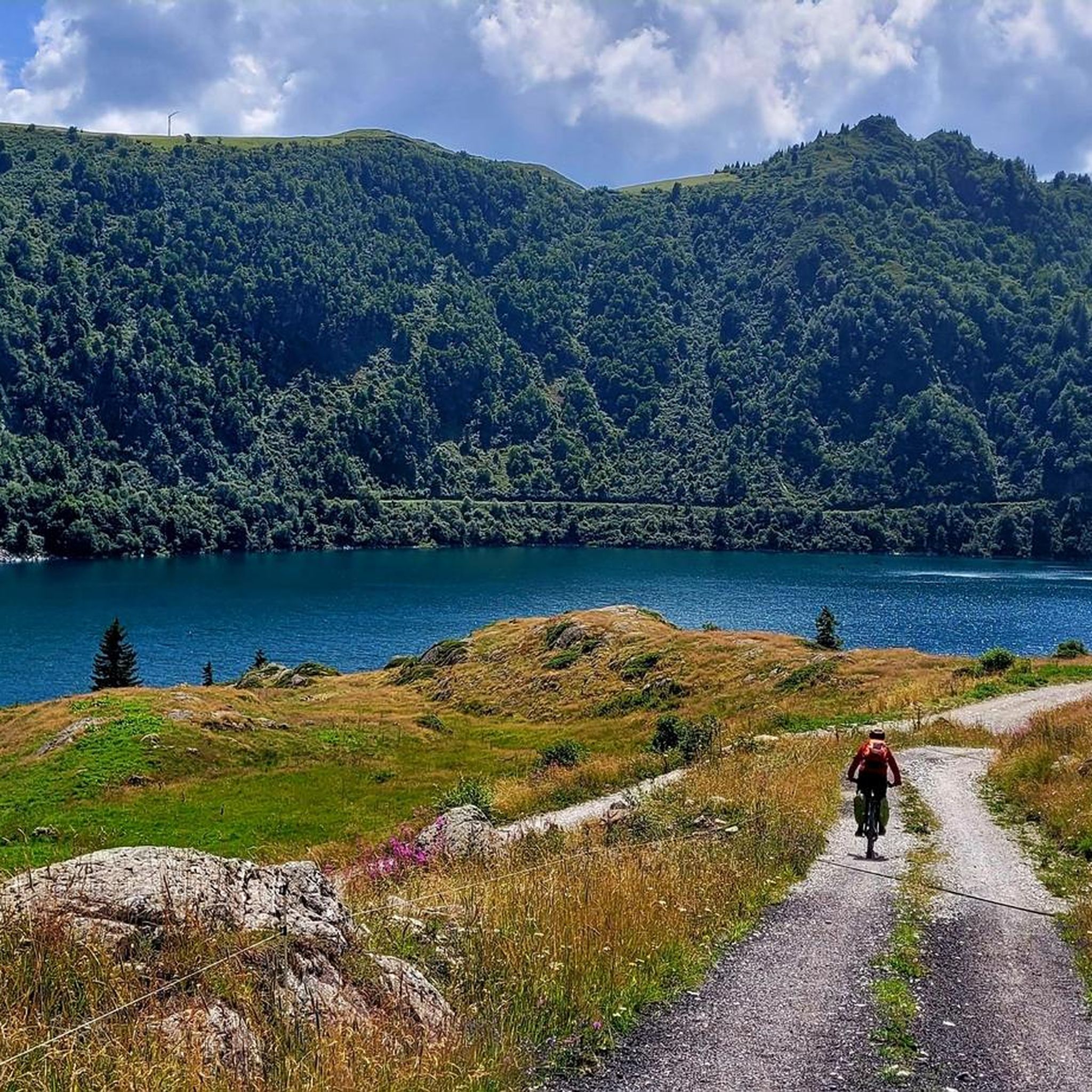
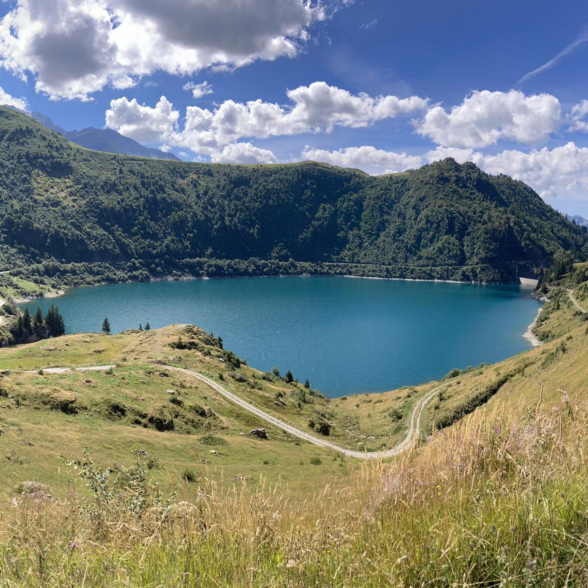
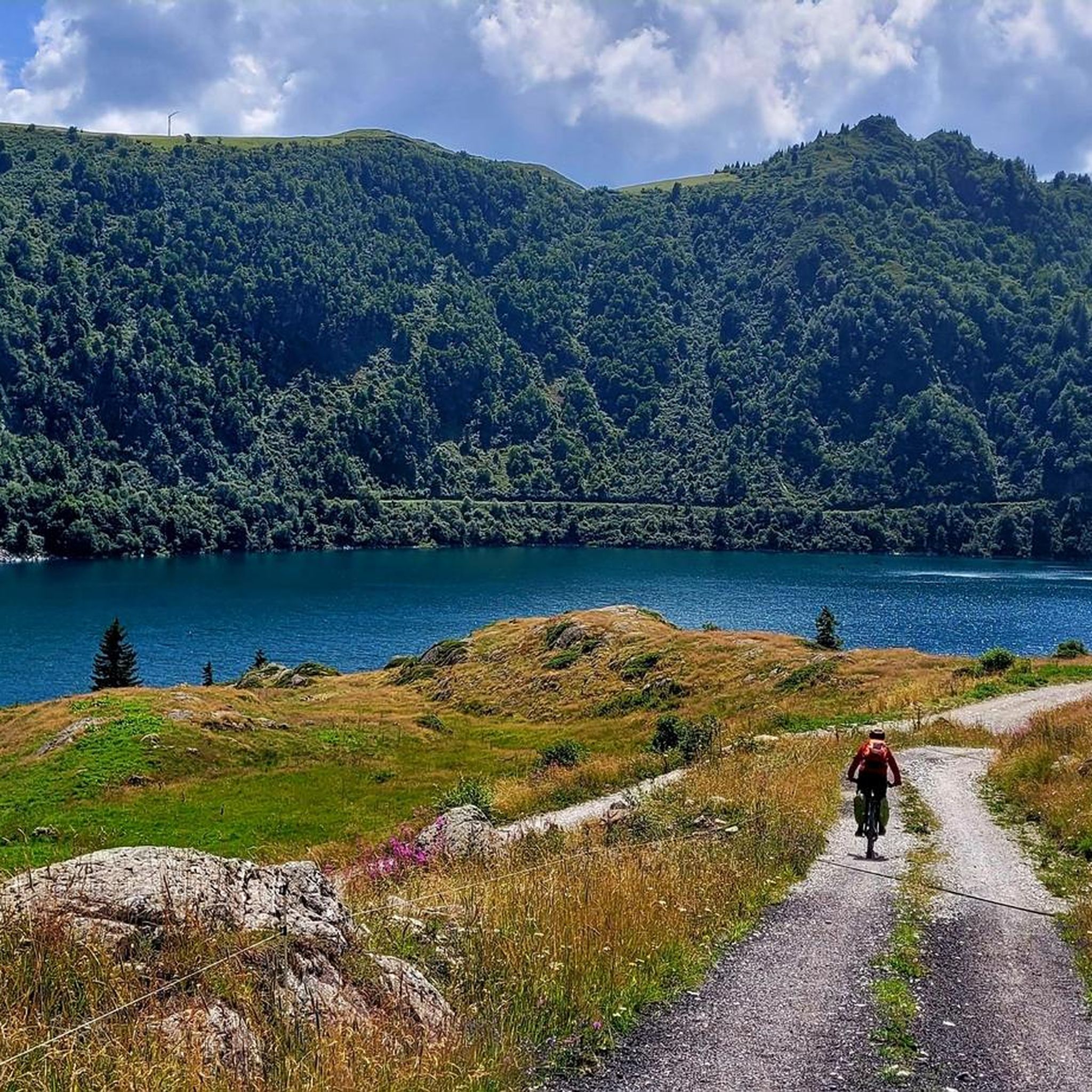
Mountaineering routes around Lac de la Gittaz are situated within the rugged Beaufortain massif in the Savoie region of France, at an altitude of 1562 meters. The area is characterized by vivid turquoise waters, green, wooded mountains, and rocky peaks, set within a glacial valley. This high-alpine environment offers challenging terrain with significant elevation changes, making it suitable for demanding alpine pursuits.
Best mountaineering routes around Lac de la Gittaz
- The most popular mountaineering route is Jusqu a la via…
Last updated: July 11, 2026
4.0
(4)
61
hikers
6.35km
03:32
500m
510m
Hard mountaineering route. Good fitness required. Sure-footedness, sturdy shoes and alpine experience required.
6
hikers
20.5km
08:33
1,170m
1,170m
Hard mountaineering route. Very good fitness required. Sure-footedness, sturdy shoes and alpine experience required.

Sign up for free
10
hikers
11.7km
05:24
920m
920m
Hard mountaineering route. Very good fitness required. Sure-footedness, sturdy shoes and alpine experience required.
5.0
(1)
8
hikers
7.70km
03:04
400m
400m
Moderate mountaineering route. Good fitness required. Mostly accessible paths. Sure-footedness required.
26
hikers
11.9km
05:35
930m
930m
Hard mountaineering route. Very good fitness required. Sure-footedness, sturdy shoes and alpine experience required.
Get access to more routes and recommendations from other explorers.
Sign up for free
Already have an account?
Our route recommendations are based on thousands of hikes, rides, and runs completed by other people on komoot.
Start today with a free account
Your next adventure awaits.
Login or Signup
Tips from the Community

Very tough climb with several kilometers averaging over 9%. As you ascend, the views of the valley are wonderful.
0
0

Dreamlike beautiful and the ascent is almost done.
2
0
Grandiose landscape, decent climb.
2
0

A freelancer and a home-based business require a Shop and Establishment Certificate. As it ensures legal identity, it erects client trust and complies with local labor laws. Shop License enables smooth business activities, is eligible for government benefits and registration, and bank account opening. https://www.legalraasta.com/shop-establishment-license
0
0
The music and editing https://www.sanjoserestaurantorder.online/ style create a vibe that’s hard not to enjoy.
1
0

The climb to the pass and the descent are difficult and steep, all in a scree field, the markings are not always visible. Not to be underestimated.
0
0

Fantastic views from the ridgeline at the summit 🤩
0
0

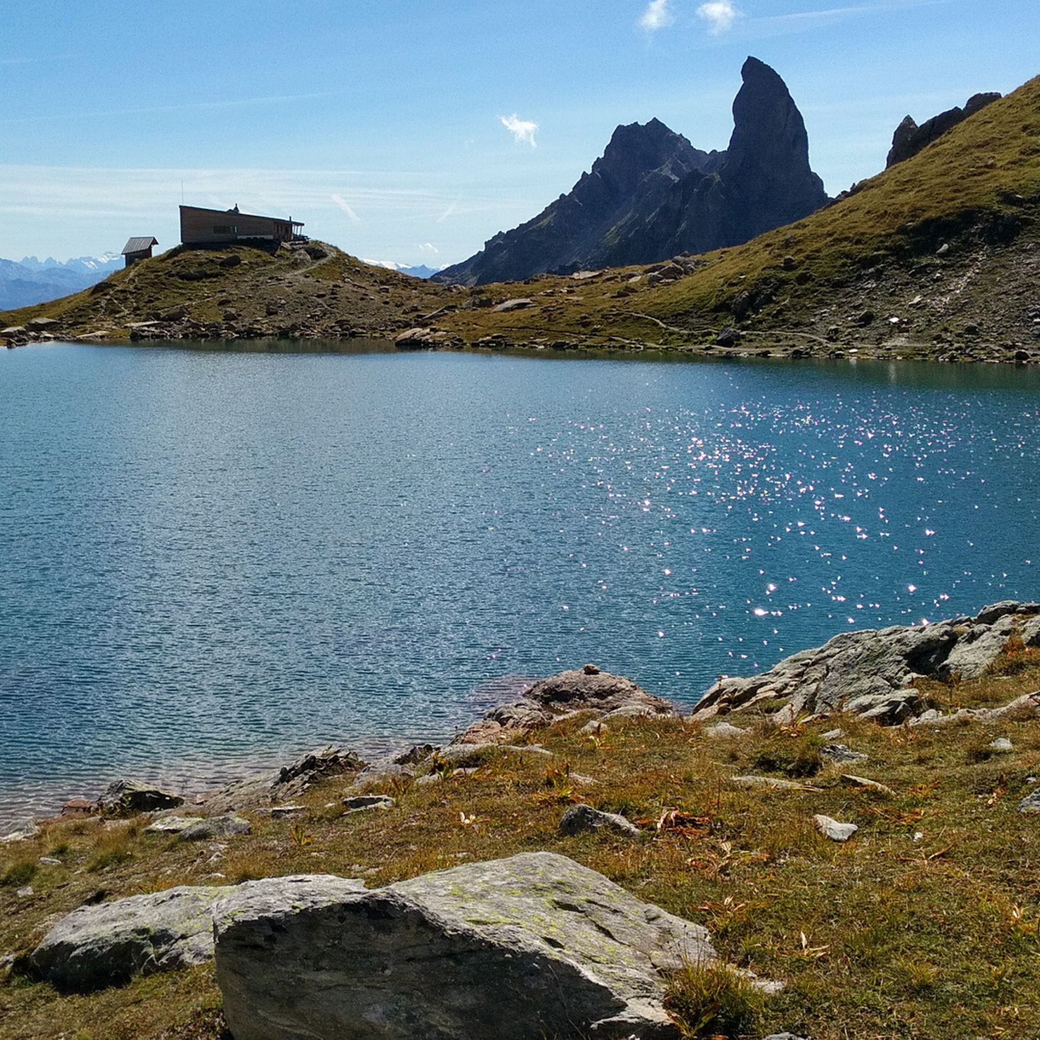
This lake is located at an altitude of 2,248 meters, at the foot of Pierra Menta, a remarkable peak in the Beaufortain massif. https://youtu.be/G0Ss9v6wxQQ
1
0
Frequently Asked Questions
What kind of terrain can I expect on mountaineering routes around Lac de la Gittaz?
The mountaineering routes around Lac de la Gittaz are characterized by rugged peaks, glacial valleys, and high-altitude lakes. You'll encounter challenging alpine terrain with significant elevation changes, set within the dramatic Beaufortain massif. The area is known for its vivid turquoise waters, green, wooded mountains, and rocky peaks.
Are there any moderate mountaineering routes available near Lac de la Gittaz?
Yes, while many routes are challenging, there are some moderate options. For example, the Parstire Rock loop from Col du Pré is a moderate route covering about 8.6 km with an elevation gain of around 460 meters, typically taking about 3 hours 36 minutes. Overall, 3 out of the 10 routes in this guide are rated as moderate.
What are some of the most challenging mountaineering routes in the area?
The region offers several demanding routes for experienced mountaineers. The Jusqu a la via ferrata loop from Cormet de Roselend is a difficult 20.7 km path with over 1100 meters of elevation gain. Another challenging option is the Le Grand Mont loop from Arêches Beaufort, which is 11.8 km long and features a similar elevation profile.
What natural features or landmarks can I see along the mountaineering routes?
The routes offer stunning alpine scenery. You'll experience vivid turquoise waters, green, wooded mountains, and rocky peaks. The area is part of a glacial valley, and you might encounter waterfalls, especially on the winding roads leading to the lake. The broader region is also home to the larger Lac de Roselend and the iconic Saint-Guérin Lake with its suspended footbridge.
What do other mountaineers say about the routes around Lac de la Gittaz?
The mountaineering routes around Lac de la Gittaz are highly rated by the komoot community, with an average score of 4.1 stars from over 10 reviews. Mountaineers often praise the rugged peaks, glacial valleys, and the overall challenging alpine experience the region provides.
Are there any circular mountaineering routes available?
Yes, several routes are designed as loops, allowing you to start and finish at the same point. Examples include the Jusqu a la via ferrata – View of Mont Blanc loop from Cormet de Roselend, which is 6.3 km, and the Lac d'Amour – Passage de la Mantaz loop from Treicol, a 12 km trail.
What is the best time of year for mountaineering in Lac de la Gittaz?
The best time for mountaineering around Lac de la Gittaz is typically during the summer months, from June to September, when the trails are generally free of snow and the weather is most stable. However, conditions can vary, and it's always advisable to check local weather forecasts and trail conditions before heading out.
Are there any routes that offer views of Mont Blanc?
Yes, the Jusqu a la via ferrata – View of Mont Blanc loop from Cormet de Roselend is specifically noted for offering panoramic views of the surrounding peaks, including Mont Blanc, making it a popular choice for those seeking iconic vistas.
How many mountaineering routes are covered in this guide for Lac de la Gittaz?
This guide features 10 distinct mountaineering routes around Lac de la Gittaz, offering a range of options primarily for experienced adventurers, with 7 routes rated as difficult and 3 as moderate.
What kind of fitness level is required for mountaineering in this region?
Given the challenging alpine terrain and significant elevation gains, a very good fitness level is generally required for mountaineering around Lac de la Gittaz. Many routes are rated as difficult, involving substantial climbs and descents over rugged ground.
Is the area around Lac de la Gittaz suitable for technical alpine routes?
Yes, the broader Beaufortain Massif and the Tarentaise region, which encompasses Lac de la Gittaz, are known for offering 'technical alpine routes.' While the specific routes in this guide focus on challenging hikes, the rugged peaks and high-alpine environment indicate that the region is conducive to more advanced mountaineering objectives.
Are there any specific passes or cols that are part of the mountaineering experience here?
The region is closely associated with the Cormet de Roselend, a legendary pass that offers magnificent views and serves as a starting point for several hikes. Other notable points include Col du Bonhomme, Col de la Sauce (2,307 m), and Fenêtre Pass, which are often part of longer, more demanding routes.
Most popular routes around Lac de la Gittaz

Get inspired with the komoot mobile app


Explore more
Browse the best Mountain Hikes & Routes in other regions.
