
The best running trails around Plan d'eau de la Haute Vilaine
4.3
(166)
2,622
runners
171
runs
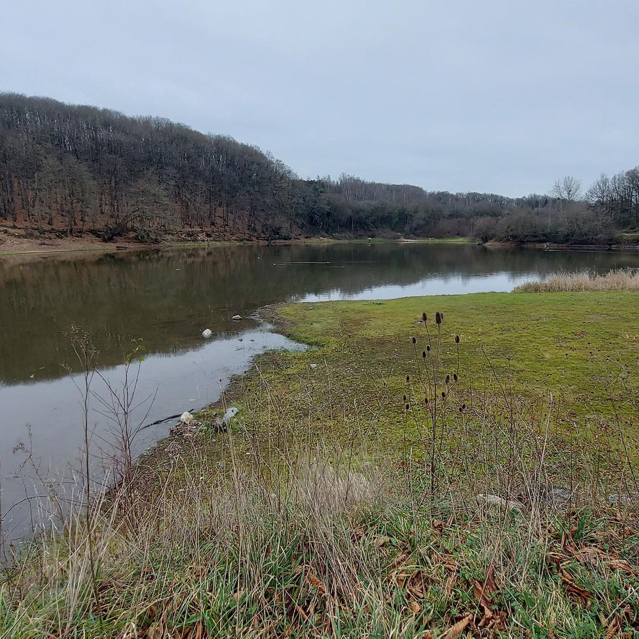
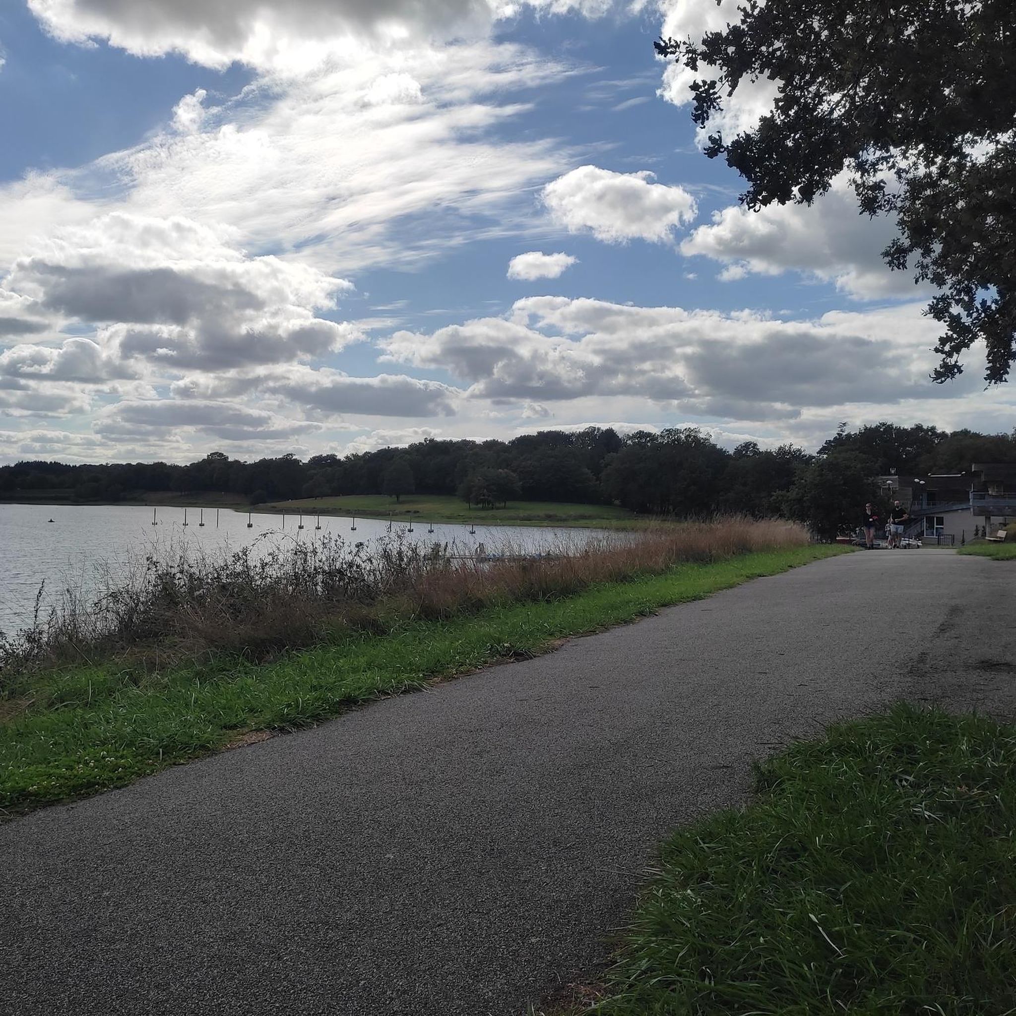
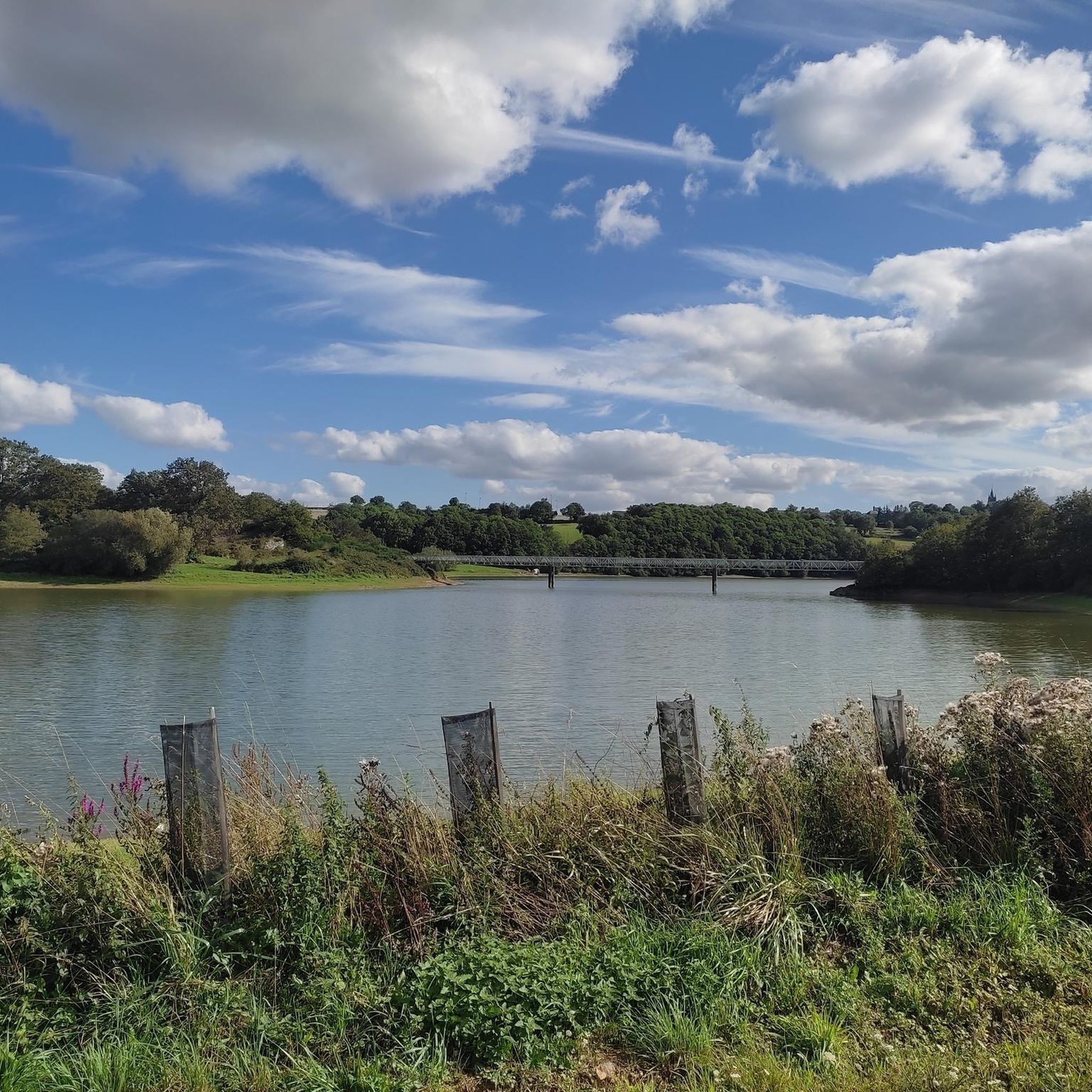
Jogging around Plan d'eau de la Haute Vilaine offers a diverse environment for runners. The area is characterized by a large body of water, providing expansive lake views, alongside varied countryside and sections of forest paths. These natural features create a rich backdrop for outdoor activities, with routes traversing rural landscapes and wooded areas. The site's primary function includes flood protection and drinking water supply, but it has been developed into a significant leisure base.
Best jogging routes around Plan…
Last updated: July 5, 2026
5.0
(1)
37
runners
14.2km
01:31
150m
150m
Moderate run. Good fitness required. Mostly paved surfaces. Suitable for all skill levels.
14
runners
4.64km
00:30
80m
80m
Easy run. Great for any fitness level. Mostly paved surfaces. Suitable for all skill levels.

Sign up for free
3
runners
14.2km
01:31
160m
160m
Moderate run. Good fitness required. Mostly paved surfaces. Suitable for all skill levels.
3.0
(1)
3
runners
8.49km
00:56
80m
80m
Moderate run. Good fitness required. Mostly paved surfaces. Suitable for all skill levels.
3
runners
6.56km
00:43
80m
80m
Moderate run. Good fitness required. Mostly paved surfaces. Suitable for all skill levels.
Get access to more routes and recommendations from other explorers.
Sign up for free
Already have an account?
Our route recommendations are based on thousands of hikes, rides, and runs completed by other people on komoot.
Start today with a free account
Your next adventure awaits.
Login or Signup


Frequently Asked Questions
How many running routes are available around Plan d'eau de la Haute Vilaine?
There are over 150 running routes available around Plan d'eau de la Haute Vilaine, offering a wide variety of options for all fitness levels. These include easy, moderate, and difficult trails.
Are there easy running paths suitable for beginners or casual joggers?
Yes, Plan d'eau de la Haute Vilaine offers several easy running paths perfect for beginners or those looking for a more relaxed jog. For example, the Running loop from La Chapelle-Erbrée is an easy 4.6 km route.
Can I find long-distance running trails for more challenging workouts?
Absolutely. For experienced runners seeking a challenge, there are longer and more difficult routes. The Le Bois des Regrétis loop from La Naftrie is a demanding 31.5 km trail that takes you through diverse rural landscapes.
Are the running routes around Plan d'eau de la Haute Vilaine suitable for families with children?
Yes, the Plan d'eau de la Haute Vilaine is a family-friendly destination. Many paths are suitable for multi-purpose use, and the leisure base features children's play areas and picnic spots, making it ideal for a family outing that includes a run.
What kind of scenery can I expect while jogging around the lake?
Runners can enjoy diverse scenery, including expansive lake views, varied countryside, and peaceful forest paths. You might also catch a glimpse of the 15th-century fortified Château des Nétumières and observe the rich biodiversity, including various bird species.
Are there any circular running routes around the Plan d'eau de la Haute Vilaine?
Yes, the area is well-known for its circular routes. A dedicated 14.5 km path encircles the lake, and a 90-meter footbridge allows for the creation of two distinct 7.2 km loops. Popular options include the Lavoir loop from La Chapelle-Erbrée (12.8 km) and the Running loop from Bourgon (8.5 km).
Is it possible to bring my dog on the running trails?
While the region is generally welcoming to outdoor activities, specific dog policies can vary. It's always recommended to keep dogs on a leash and ensure they are well-behaved, especially in areas with wildlife or other visitors. Check local signage for any restrictions.
Where can I park my car when visiting the Plan d'eau de la Haute Vilaine for a run?
The Plan d'eau de la Haute Vilaine leisure base offers parking facilities. You can typically find designated parking areas near the main access points to the trails and the leisure base amenities.
What do other runners enjoy most about the trails at Plan d'eau de la Haute Vilaine?
The running routes at Plan d'eau de la Haute Vilaine are highly rated by the komoot community, with an average score of 4.4 stars from over 150 reviews. Runners often praise the varied terrain, the beautiful lake views, and the well-maintained paths that cater to different ability levels.
Are there any facilities like picnic areas or cafes near the running routes?
Yes, the Plan d'eau de la Haute Vilaine leisure base is well-equipped. You'll find shaded picnic areas, some with barbecues, perfect for a break after your run. While specific cafes directly on the trails might be limited, the leisure base offers various amenities, and nearby towns like Vitré provide dining options.
What is the best time of year to go running at Plan d'eau de la Haute Vilaine?
The Plan d'eau de la Haute Vilaine is enjoyable for running throughout the year. Spring and autumn offer pleasant temperatures and vibrant natural scenery, with the added bonus of observing migratory birds. Summer is also popular, especially with supervised swimming available at the beach, but paths through wooded areas provide welcome shade.
Are there any notable landmarks or points of interest along the running routes?
Beyond the expansive lake itself, you can enjoy views of the 15th-century fortified Château des Nétumières from certain parts of the 26 km loop. The area also features educational trails highlighting varied landscapes and notable trees, and the GR34 trail connects to the Plan d'eau, offering further exploration opportunities.
Most popular routes around Plan d'eau de la Haute Vilaine

Get inspired with the komoot mobile app


Explore more
Browse the best Running Trails & Routes in other regions.
