The best running trails around Étang d'Izourt
4.8
(10)
1,406
runners
57
runs
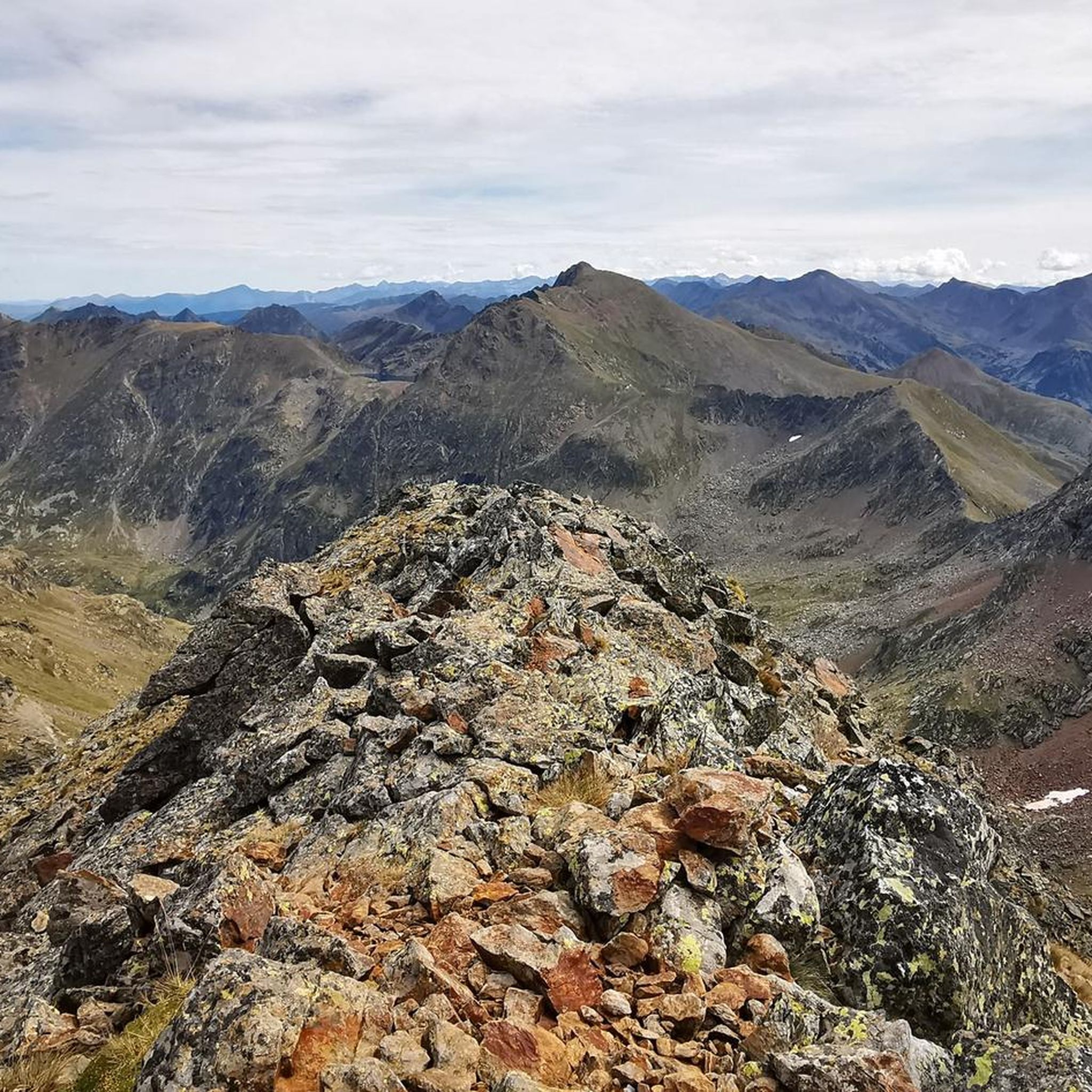
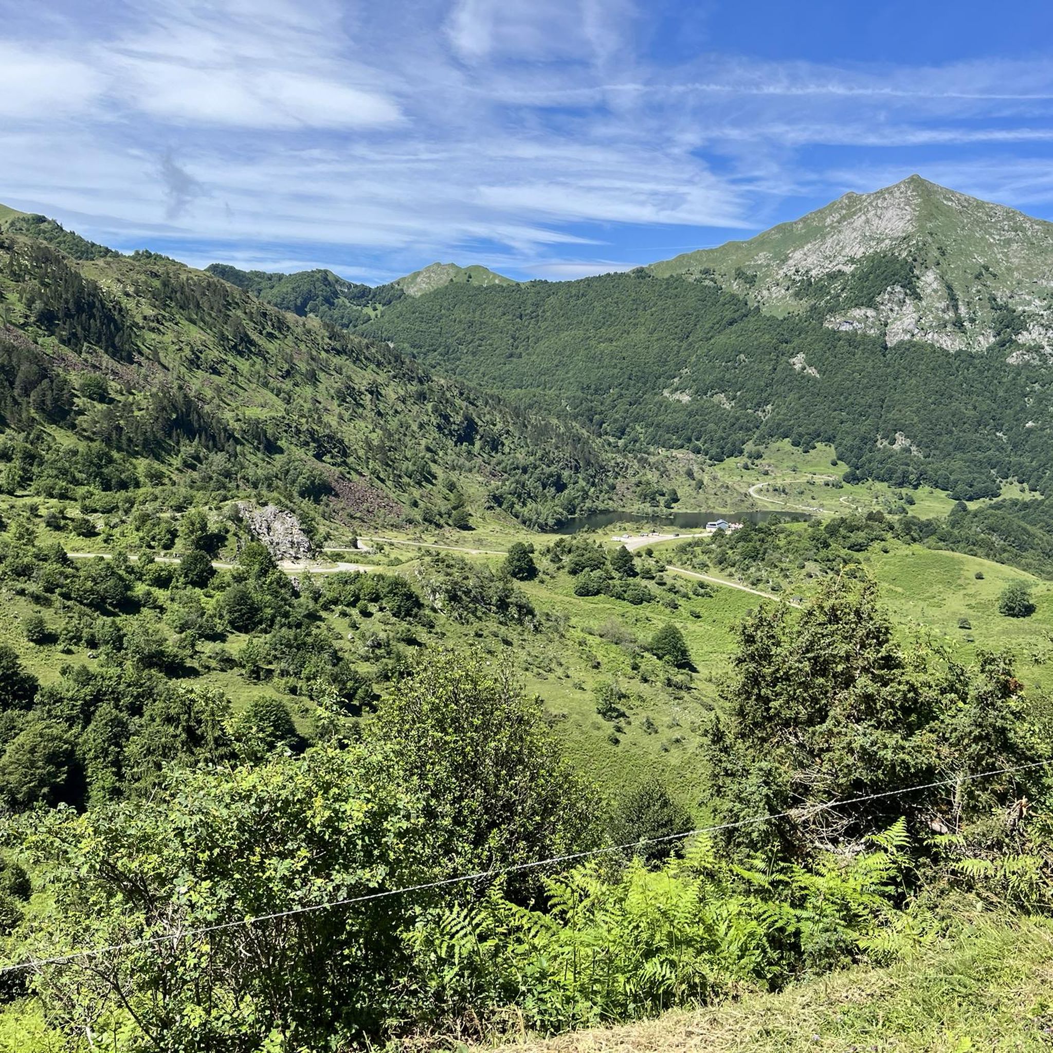
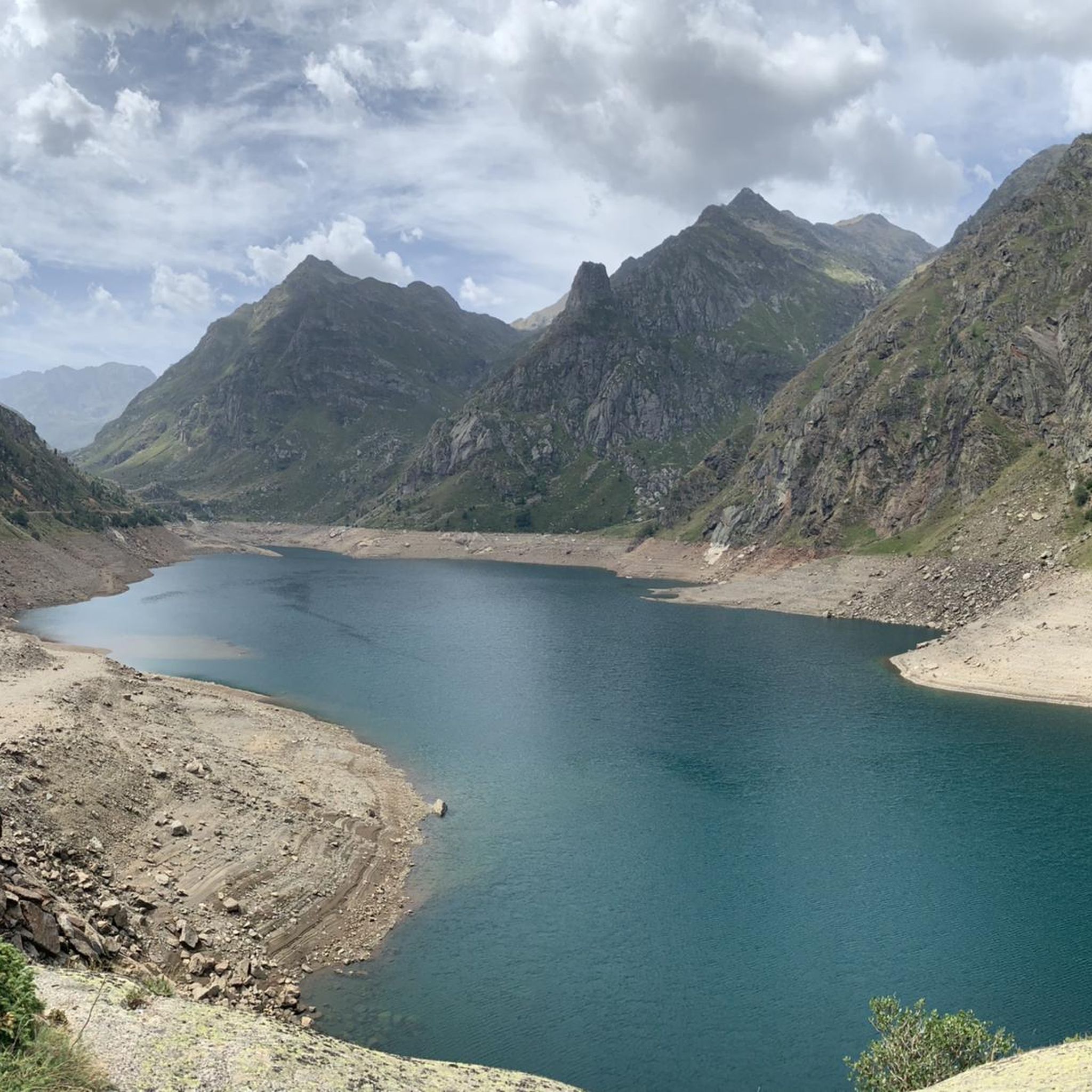
Jogging routes around Étang d'Izourt are set within a high mountain environment in the Ariège Pyrenees. The region is characterized by the emerald green waters of its barrage lake, framed by majestic peaks such as Pic de Tristagne and Pic de l'Étang Fourcat. Trails wind through lush forests of hazel and beech, alongside streams, and open to panoramic valley views. This landscape provides varied terrain for running, from shaded woodland paths to open mountain vistas.
Best jogging routes around Étang…
Last updated: July 14, 2026
22
runners
22.2km
05:10
1,710m
1,710m
This difficult 13.8-mile (22.2 km) jogging loop to Pic de Tristagne offers rugged alpine terrain and panoramic views.
4
runners
Hard run. Very good fitness required. Sure-footedness, sturdy shoes and alpine experience required.

Sign up for free
4.81km
01:00
250m
240m
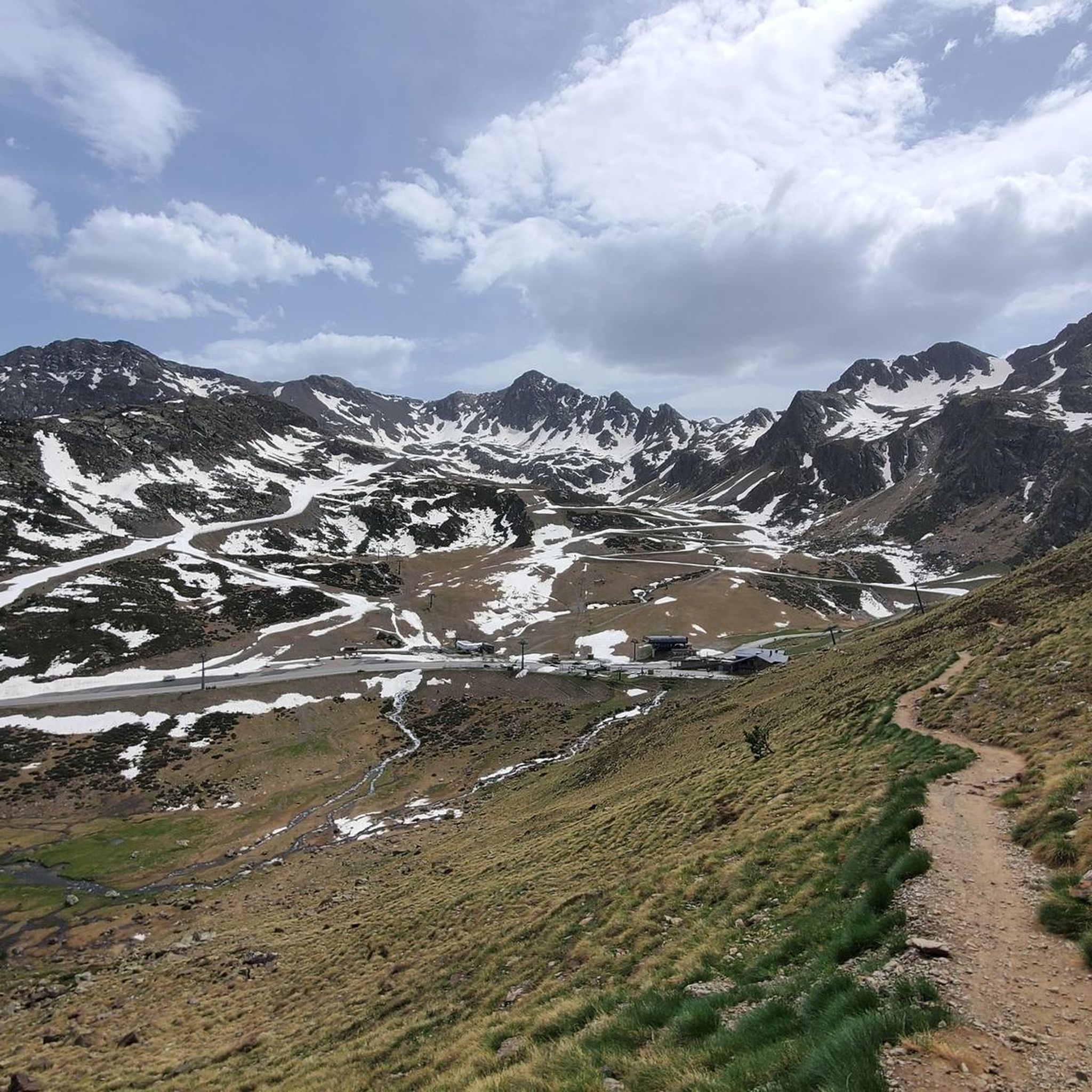
Jog this difficult 3.0 miles (4.8 km) circular route to explore the three glacial Tristaina Lakes in Andorra's Ordino Biosphere Reserve.
3
runners
5.98km
01:04
440m
440m
This difficult 3.7-mile circular jogging route to Estany Esbalçat offers high-mountain views and a challenging ascent in Andorra.
Hard run. Very good fitness required. Sure-footedness, sturdy shoes and alpine experience required.
Get access to more routes and recommendations from other explorers.
Sign up for free
Already have an account?
Our route recommendations are based on thousands of hikes, rides, and runs completed by other people on komoot.
Start today with a free account
Your next adventure awaits.
Login or Signup


Other adventures around Étang d'Izourt

Tips from the Community

Solar viewpoint on the Peyraguils pass or summit, a metal structure that allows a 360° view of the valleys of the Andorran Pyrenees and the Aran Valley, with views of Aneto.
2
0

A beautiful, not too difficult summit on the national border 🇦🇩🇫🇷😃, but requiring some light scrambling 😃 in the summit area (⚠️ UIAA: I). Great view of the surrounding lakes 😃.
1
0

Here again: Someone is rating ALL photos of highlights in this region (Northwest Pyrenees) "not accurate," even though they accurately depict the location? Why does anyone need to do that? Is it jealousy? Does someone want to drag down others' "expert" ratings? How pathetic.
1
1
Very beautiful and photogenic lakes in a high valley, accessible only by long hikes/climbing. Therefore, they are not as crowded as the reservoir in the valley below. You'll often need your hands on the descent from the eponymous peak, Pic d'Étang Fourcat.
0
0

The structure is designed to mark the hours of sunlight throughout the day, allowing visitors to experience how sunlight interacts with the structure at different times. In short, the Tristaina Solar Viewpoint is a work by Rafael Galindo, built in Corten steel and inaugurated in 2021, which celebrates the sun and its daily journey, offering a unique experience in one of the most impressive natural settings in Andorra.
1
0

There are some incredible viewing platforms in Andorra and the huge suspended ring sphere from the Tristaina solar viewpoint near Arcalís is one of them. Offering some of the most spectacular panoramic views of Andorra and the Pyrenees from the summit of Peyreguils at 2701 meters above sea level, on the border with France. There may be some challenging sections, but the views are worth it.
2
0

This is the highest point of the road that goes up to the summit of Arcalís, a beautiful road that reaches this high valley in this area of Andorra.
0
0
Peak that lets us see the lakes of Tristaina on the one hand and the whole of the Coma d'Arcalis. It is accessed mainly through Port de Rat or through the Peiraguils viewpoint.
0
0
Frequently Asked Questions
How many running routes are available around Étang d'Izourt?
There are over 50 dedicated running routes around Étang d'Izourt, offering a wide range of options for different fitness levels and preferences. The komoot community has explored these trails over 1500 times.
Are there easy jogging routes suitable for beginners in Étang d'Izourt?
While many routes in Étang d'Izourt are challenging, there is at least one easy jogging route available. It's important to check the difficulty ratings for each trail to find one that matches your fitness level, as the region is known for its high mountain terrain.
What kind of terrain can I expect on the jogging trails around Étang d'Izourt?
The terrain around Étang d'Izourt is diverse, ranging from lush forests of hazel and beech trees to open mountain vistas. You'll find paths winding alongside picturesque streams, leading to panoramic valley views, and featuring challenging ascents typical of a high mountain environment.
Are there any circular running routes in the Étang d'Izourt area?
Yes, there are several circular running routes. For example, the Ascent to Pic de Tristaina via the Albeille pass — circular from Coma de Arcalis offers a challenging 8 km loop. Another option is the Tristaina Lakes Loop Trail, which is a 4.8 km difficult route.
What are some scenic running routes with great views in Étang d'Izourt?
Many routes offer stunning views of the emerald green waters of Étang d'Izourt and majestic peaks like Pic de Tristagne and Pic de l'Étang Fourcat. The Pic de Tristagne and Étang Fourcat Loop Trail is a popular choice for its extensive high-mountain vistas.
Are there any historical or cultural points of interest along the running trails?
Yes, beyond the natural beauty, the area holds historical intrigue. Along the 'Chemin de la Mémoire,' you can find remnants of old construction buildings and commemorative panels that recount a tragic historical event related to the dam's construction. These add a layer of cultural exploration to your run.
What is the best season for jogging around Étang d'Izourt?
The best time to visit depends on your preference. The region offers panoramic views of snow-capped summits depending on the season. Summer and early autumn generally provide more stable weather conditions for high mountain running, but it's always advisable to check local weather and trail conditions before heading out.
Is Étang d'Izourt suitable for family-friendly jogging or running with children?
While the region is known for its challenging high-mountain trails, some shorter, less strenuous sections might be suitable for families with older children who are accustomed to outdoor activities. Always check the specific route's difficulty and elevation gain to ensure it's appropriate for your family's fitness level.
What do other runners enjoy most about jogging in Étang d'Izourt?
The running routes in Étang d'Izourt are highly rated by the komoot community, with an average score of 4.75 stars from over 10 reviews. Runners often praise the stunning natural beauty, the challenging ascents, and the rewarding panoramic views of the emerald lakes and majestic peaks.
Are there options for a shorter, vigorous run in the area?
Yes, for a vigorous run, consider routes like the Estany Esbalçat Loop Trail. This 6 km (3.7 miles) difficult route through a high mountain lake environment can often be completed in about 1 hour 4 minutes, making it suitable for an intense workout.
Is there parking available near the jogging trailheads?
Yes, parking is generally available near popular trailheads, such as around the Centrale hydroélectrique de Pradières, which serves as a starting point for several routes. It's recommended to research specific parking locations for your chosen route in advance.
Most popular routes around Étang d'Izourt

Get inspired with the komoot mobile app


Explore more
Browse the best Running Trails & Routes in other regions.
