The best running trails around Étangs de Fontargente
4.3
(4)
1,319
runners
74
runs
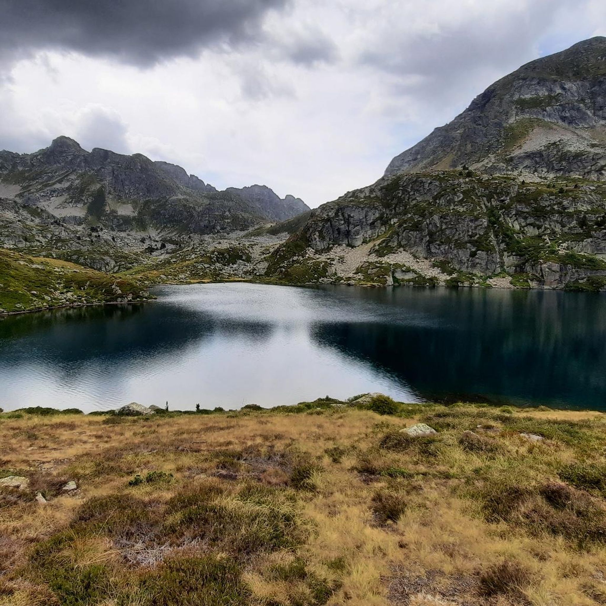
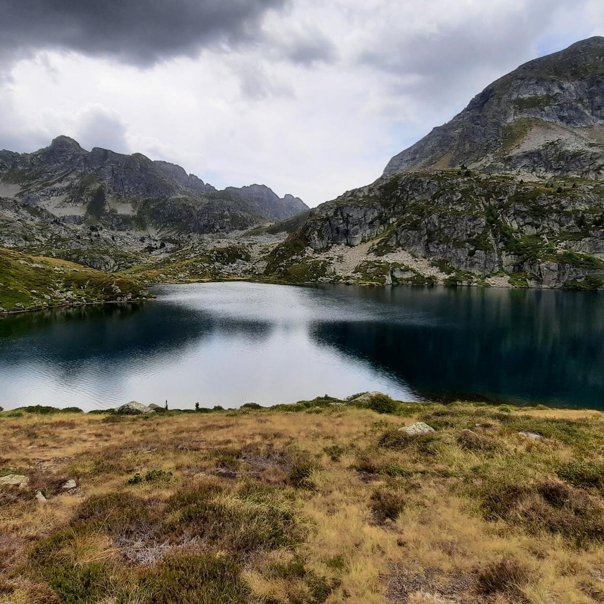
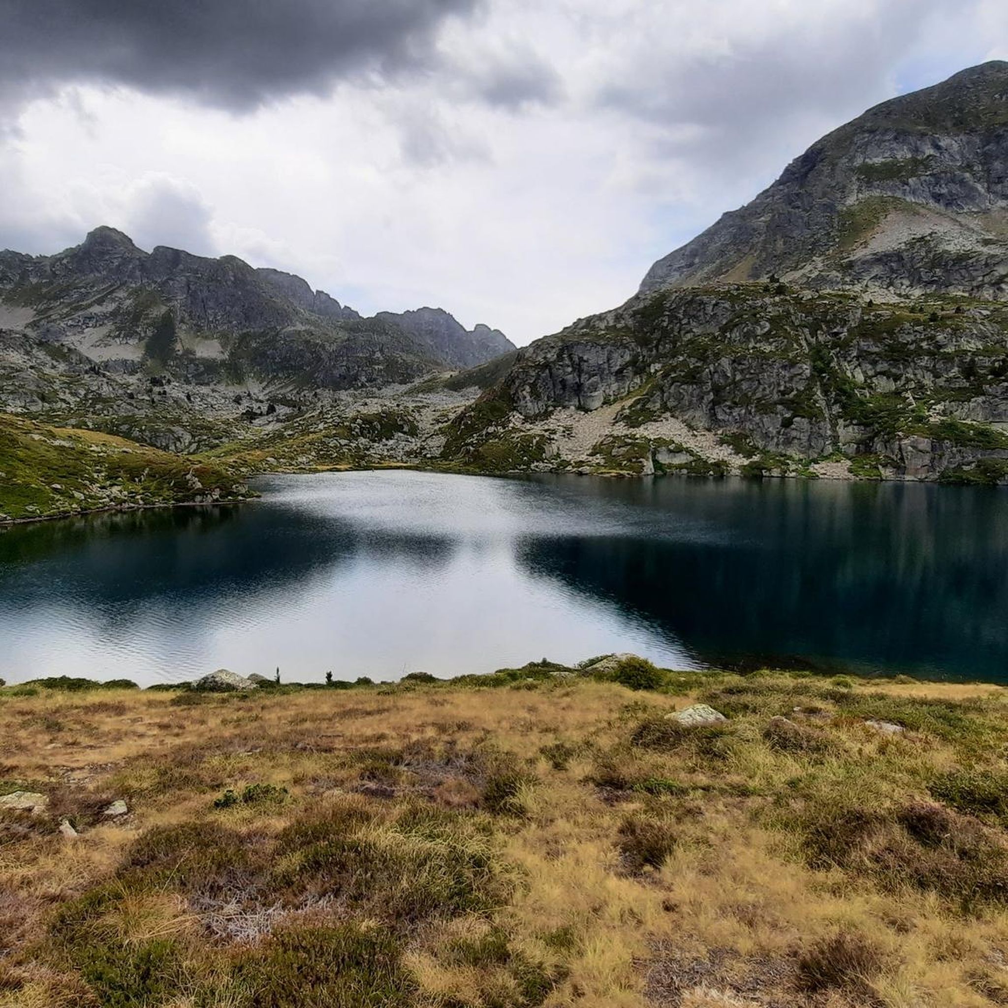
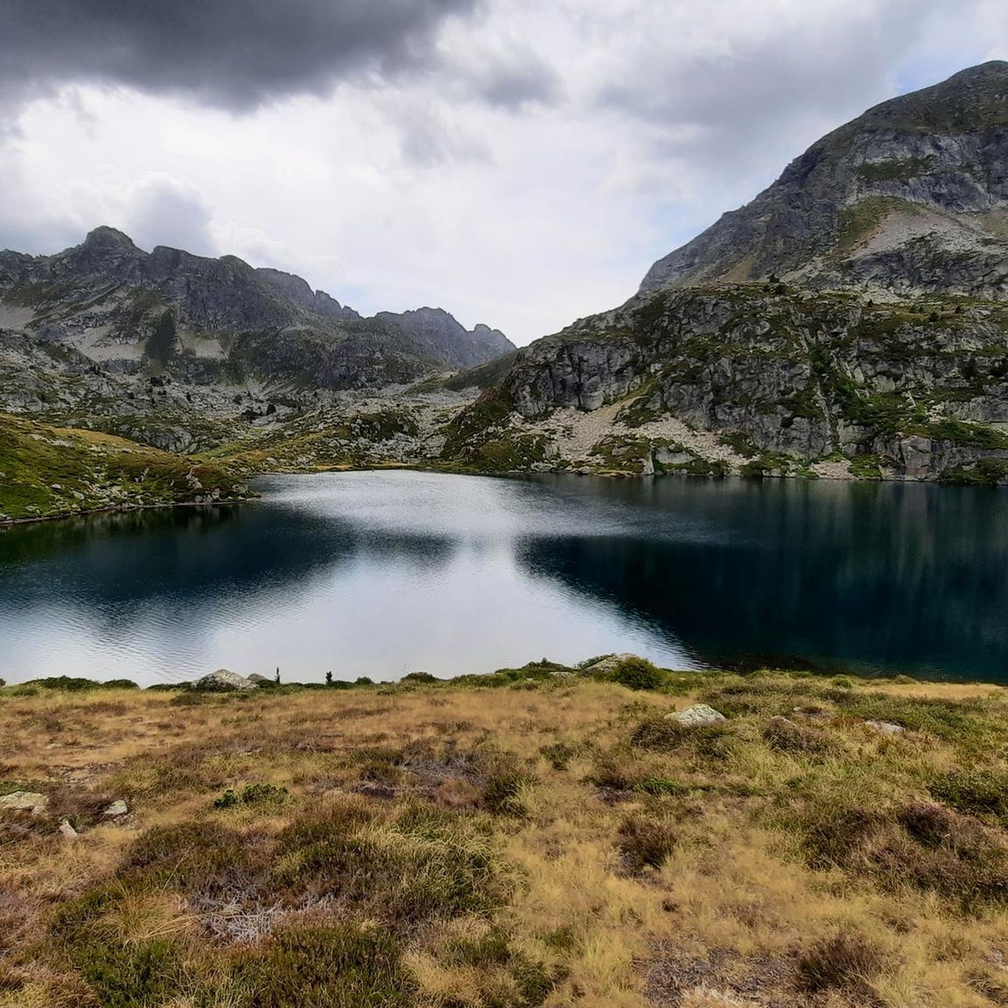
Jogging around Étangs de Fontargente offers routes through a captivating Pyrenean landscape, characterized by multiple mountain lakes and dramatic peaks. The region features a glacial cirque in the Aston Valley, with trails often following the Aston river. This area provides a refreshing environment for trail running, with options ranging from moderate paths to more challenging mountain routes.
Best jogging routes around Étangs de Fontargente
- The most popular jogging route is Rulhe Refuge loop from Refuge du Rulhe, a 6.6…
Last updated: July 4, 2026
13
runners
9.32km
01:48
550m
550m
Hard run. Very good fitness required. Sure-footedness, sturdy shoes and alpine experience required.
9
runners
10.0km
01:48
480m
480m
Hard run. Very good fitness required. Sure-footedness, sturdy shoes and alpine experience required.

Sign up for free
8
runners
17.8km
03:26
1,070m
1,070m
Hard run. Very good fitness required. Sure-footedness, sturdy shoes and alpine experience required.
38
runners
7.25km
01:25
470m
470m
A difficult 4.5-mile (7.3 km) jogging route in Vall d'Incles, featuring Pyrenean scenery, Juclar lakes, and a mountain refuge.
4.0
(1)
7
runners
9.75km
01:37
570m
570m
This difficult 6.1-mile circular route in Vall d'Incles leads to Estany d'Anrodat, offering challenging terrain and stunning alpine views.
Get access to more routes and recommendations from other explorers.
Sign up for free
Already have an account?
Our route recommendations are based on thousands of hikes, rides, and runs completed by other people on komoot.
Start today with a free account
Your next adventure awaits.
Login or Signup
Tips from the Community


There was good vegetarian food and a delicious dessert. Hot showers are available until 6 p.m. There's no real drying room. If the hut is full and all the hikers have to dry their shoes by the fireplace, expect to have to wear wet clothes and shoes the next morning. Unfortunately, there was only one used newspaper for over 50 pairs of wet shoes 🤷
0
0

A beautiful little lake with an ideal spot for camping. Bring water.
0
0

There were nine of us: five Czechs, three French women, and just me. We had a great time together that evening. Pleasant hut, but you have to bring your sleeping bag and mat.
0
0

Magnificent landscapes, the climb is really worth it!! Breathtaking, we are more used to arriving in this kind of place on foot, well we can also do it by bike and we should not deprive ourselves!
0
0

We were very well received! Possibility to pitch a tent, WC available outside and hot shower at 3 euros for 4 minutes ;) you can also book to sleep inside and eat :)
1
0

Pure relaxation at 2,300m altitude.
1
0

Crossing the Riu d'Incles river there is a small stone bridge that connects the main road of the valley and the natural trails of this lush green valley.
1
0
Frequently Asked Questions
What kind of terrain can I expect on the running trails around Étangs de Fontargente?
The running trails in Étangs de Fontargente are primarily mountain routes within the stunning Pyrenean massif. You'll encounter varied terrain, from well-marked paths around the serene mountain lakes to more challenging high-mountain sections. The area is characterized by a dramatic glacial cirque and trails often follow the Aston river, offering a refreshing environment for trail running.
Are there any easy or moderate running routes suitable for beginners in Étangs de Fontargente?
While many routes are classified as difficult, there are options for varying ability levels. The region offers some moderate paths, particularly around the ponds, which can be suitable for a leisurely jog. Out of 77 total routes, 2 are easy and 10 are moderate, providing good starting points for less experienced runners.
What are the most scenic viewpoints or natural features to look out for while running in Étangs de Fontargente?
The Étangs de Fontargente region is renowned for its 'bucolic and wild' landscape. You'll be treated to magnificent ensembles of mountain lakes, majestic Pyrenean peaks, and the dramatic glacial cirque in the Aston Valley. Keep an eye out for the Port de Fontargente, which offers a 'bien jolie vue sur l'Andorre' (a very nice view of Andorra).
Are there any circular running routes available in Étangs de Fontargente?
Yes, several circular routes are popular in the area. For instance, the Étangs de Fontargenta – Étangs de Fontargente loop from Plat des Peyres is a 10.1 km trail that takes you through the ensemble of mountain lakes. Another option is the Rulhe Refuge loop from Refuge du Rulhe, a 10.6 km route offering expansive views.
What is the best time of year to go jogging in Étangs de Fontargente?
The refreshing mountain air and numerous lakes make Étangs de Fontargente ideal for physical activity during warmer months. While specific seasonal advice isn't provided, the Pyrenean environment suggests late spring to early autumn would be most suitable, avoiding snow and ice at higher elevations.
Is Étangs de Fontargente suitable for family-friendly running or walks?
Yes, the area offers options for families. Some itineraries, particularly around the ponds, are described as 'easy' and on 'sentier bien balisé' (well-marked paths), making them suitable for a family stroll that could easily be adapted for a leisurely jog. Always check the specific route details for elevation and distance.
Are dogs allowed on the running trails in Étangs de Fontargente?
The region is a natural environment within the Pyrenees. While specific regulations for dogs are not detailed, it's generally advisable to keep dogs on a leash, especially in mountain areas, to protect wildlife and ensure the safety of other trail users. Always check local signage for any specific restrictions.
Where can I park when visiting Étangs de Fontargente for a run?
The main starting point for many routes is Pla de las Peyres. The road leading to Pla de las Peyres has been renovated, making it accessible for various vehicles, which implies parking facilities are available there. It's a common access point for exploring the area.
What do other runners say about their experience jogging in Étangs de Fontargente?
The running routes in Étangs de Fontargente are highly rated by the komoot community, with an average score of 3.5 stars from 4 reviews. Over 1200 runners have used komoot to explore the varied terrain, often praising the stunning alpine scenery and the refreshing environment of the numerous ponds and Pyrenean peaks.
Are there any refuges or places to stop for refreshments near the running routes?
The Rulhe Refuge loop from Refuge du Rulhe suggests the presence of a refuge in the area, which often provides basic accommodation and refreshments for hikers and runners. While specific cafes are not mentioned, refuges are common in Pyrenean mountain regions.
How many running routes are available in the Étangs de Fontargente area?
There are over 75 distinct running routes available in the Étangs de Fontargente region, offering a wide range of options for different fitness levels and preferences. This includes 2 easy, 10 moderate, and 65 difficult trails.
What kind of elevation gain can I expect on the running trails?
The Étangs de Fontargente region is mountainous, so expect significant elevation changes. For example, the Juclà Refuge – Port d'Incles loop from Plat des Peyres covers 17.3 km with over 1000m of elevation gain, making it a challenging run. Even a moderate route like the 'Fontargente Ponds loop' can have around 450m of elevation gain over 8.5 km.
Most popular routes around Étangs de Fontargente

Get inspired with the komoot mobile app


Explore more
Browse the best Running Trails & Routes in other regions.
