The best walks and hikes around Étang du Garbet
4.5
(963)
9,069
hikers
120
hikes
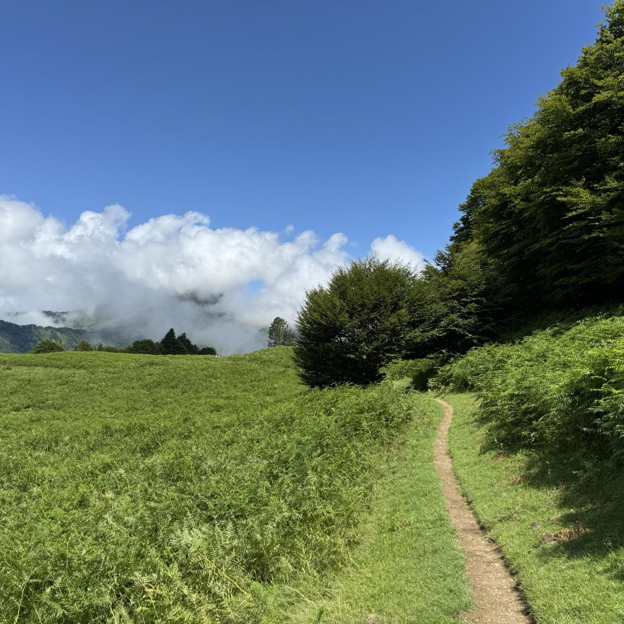
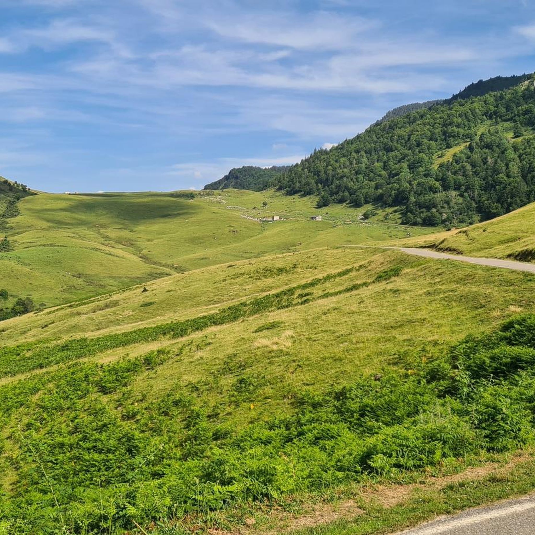
Hiking around Étang du Garbet, located in the French Pyrenees within the Ariège department, offers diverse landscapes for outdoor activities. The region is characterized by high-altitude lakes, including Étang du Garbet itself at 1683 meters, set within a granite cirque. Trails navigate through varied terrain, from shaded forests and marshy plateaus to exposed rocky paths, with notable features like the Cirque de Garbettou and its waterfall. The area provides a dynamic hiking experience with options ranging from moderate to difficult.
Best hiking trails around Étang du Garbet
- The most popular hiking route is Etang du Garbet – Parc naturel régional des Pyrénées Ariégeoises, a 4.7 miles (7.6 km) trail that takes 2 hours 53 minutes to complete. This moderate route leads directly to the lake, offering views of the surrounding granite cirque.
- Another top favourite among local hikers is Cirque de Garbettou loop from Pic des Argentières, an easy 2.1 miles (3.4 km) path. This shorter loop explores a smaller cirque featuring a picturesque waterfall and streams.
- Local hikers also love the Le Mont Ceint – hike starting from Coumebière – Parc naturel régional des Pyrénées Ariégeoises, a 5.7 miles (9.1 km) trail leading through forests and offering elevated views, often completed in about 4 hours 10 minutes.
- Hiking around Étang du Garbet is defined by glacial cirques, dense forests, and rocky mountain paths. The network offers options for different ability levels, from easy loops to challenging ascents.
- The routes in Étang du Garbet are highly rated by the komoot community with an average score of 4.6 stars from over 800 reviews. More than 8,000 hikers have used komoot to explore Étang du Garbet's varied terrain.
Last updated: July 22, 2026
4.7
(22)
245
hikers
7.63km
02:53
530m
530m
Moderate hike. Good fitness required. Easily-accessible paths. Suitable for all skill levels.
4.0
(2)
28
hikers
21.1km
09:44
1,550m
1,550m
Hard hike. Very good fitness required. Sure-footedness, sturdy shoes and alpine experience required.

Sign up for free
4.3
(4)
33
hikers
3.42km
01:21
260m
260m
Easy hike. Great for any fitness level. Easily-accessible paths. Suitable for all skill levels.
4.8
(4)
46
hikers
18.1km
08:26
1,230m
1,230m
This difficult 11.3-mile hike to La Pique Rouge de Bassiès offers panoramic Pyrenees views and a significant 4034 feet of elevation gain.
4.7
(7)
42
hikers
Moderate hike. Good fitness required. Mostly accessible paths. Sure-footedness required.
Get access to more routes and recommendations from other explorers.
Sign up for free
Already have an account?
Our route recommendations are based on thousands of hikes, rides, and runs completed by other people on komoot.
Start today with a free account
Your next adventure awaits.
Login or Signup

Tips from the Community

Fantastic scenary, but the walk is more a difficulty 2 rather than 1.
0
0

Superb hike starting from Aulus-les-Bains. Ars waterfall plus Guzet lake
0
1

Good way to the waterfall. accessible for young and old. One of the highest waterfalls in the Pyrenees.
1
1

Very nice hike. In the shade all along the trail. Perfect for a hike in the heat.
1
1

Sturdy shoes are worth it! Very rocky road.
1
1
Nice trail along the side of the mountain.
0
0

The port of Saleix, which is the pass separating the valleys of Couserans and Vicdessos, offers magnificent views of these valleys.
1
0
With its 2,088 m altitude, it is the highest peak of the Lherz massif. Its ascent is either via the port of Lers or via the port of Saleix.
2
0
Frequently Asked Questions
How many hiking trails are available around Étang du Garbet?
There are over 100 hiking trails around Étang du Garbet, offering a wide range of options for different skill levels. You'll find routes from easy strolls to challenging mountain ascents.
What kind of terrain can I expect on the hiking trails in this area?
The trails around Étang du Garbet offer diverse terrain. You can expect to hike through shaded forests, across marshy plateaus, and along exposed rocky paths. The region is characterized by its glacial cirques and granite formations, providing a dynamic and varied hiking experience.
Are there any easy hiking options suitable for beginners or families?
Yes, there are several easy hiking options. For example, the Cirque de Garbettou loop from Pic des Argentières is an easy 2.1-mile (3.4 km) path that explores a smaller cirque with a picturesque waterfall, making it a great choice for families or those seeking a less strenuous walk. Overall, there are 10 easy routes in the area.
What natural features or landmarks can I see while hiking around Étang du Garbet?
Beyond the beautiful Étang du Garbet itself, you can discover the picturesque Cirque de Garbettou with its own waterfall. For more adventurous hikers, an extension leads to Étang Bleu, characterized by abrupt cliffs and fed by a cascade. The elevated terrain also provides splendid panoramic views of surrounding peaks like the Pic des trois Comtes and Pic Rouge de Bassiès.
Can I bring my dog on the hiking trails?
The Étang du Garbet area is part of the Parc Naturel Régional des Pyrénées Ariégeoises. While many trails are dog-friendly, it's always recommended to keep dogs on a leash to protect local wildlife and ensure a pleasant experience for all hikers. Check specific trail regulations before you go.
Are there any circular hiking routes available?
Yes, many routes in the area are designed as circular walks. For instance, the Cirque de Garbettou loop from Pic des Argentières is a popular easy circular option. Another challenging circular route is the Pique Rouge de Bassiès Loop from Coumebière, offering extensive views.
What is the best time of year to go hiking in Étang du Garbet?
The best time to visit Étang du Garbet for hiking is typically during the warmer months, from late spring to early autumn (May to October). During this period, the trails are generally free of snow, and the weather is more favorable. Even in warmer months, higher elevations, especially around Étang Bleu, can still have snowfields.
Where can I park when visiting Étang du Garbet for hiking?
A common starting point for hikes to Étang du Garbet is the Agnesserre bend at 1140 meters. Parking facilities are usually available at such popular trailheads. It's advisable to arrive early during peak season to secure a spot.
What do other hikers enjoy most about hiking in Étang du Garbet?
The area is highly rated by the komoot community, with an average score of 4.6 stars from over 800 reviews. Hikers often praise the stunning 'sublime reflections' of Étang du Garbet, the dramatic setting within the granite cirque, and the diverse landscapes encountered on the trails, from dense forests to panoramic mountain views.
Are there any challenging hikes for experienced trekkers?
Absolutely. For experienced trekkers, routes extending to Étang Bleu offer a significant challenge, situated 300 meters higher than Étang du Garbet and featuring abrupt cliffs. The View of the Cascade d'Ars – Saleix Pass loop from Cascade d'Ars is another difficult option, covering over 13 miles (21 km) with substantial elevation gain.
Is Étang du Garbet suitable for fishing?
Yes, Étang du Garbet is known as a popular spot for fishing. Its cold, deep waters within the granite cirque provide a suitable environment. Ensure you have the necessary permits and adhere to local fishing regulations.
Can I reach the hiking trails by public transport?
While specific public transport options directly to all trailheads might be limited, the region is part of the Aulus-les-Bains valley. It's best to check local transport schedules for services to nearby villages, from where you might need to arrange further transport or walk to the starting points.
Most popular routes around Étang du Garbet

Get inspired with the komoot mobile app


Explore more
Browse the best Hikes in other regions.
