The best running trails around Lac de Caillaouas
4.5
(42)
3,775
runners
20
runs
Jogging around Lac de Caillaouas offers routes through a landscape characterized by high mountain lakes, valleys, and significant elevation changes. The region features a mix of open terrain and paths leading to mountain refuges and granges. Many routes involve substantial climbs, providing challenging running experiences.
Best jogging routes around Lac de Caillaouas
- The most popular jogging route is Lake Génos-Loudenvielle – Lake Génos loop from Pène des Aubères, a 7.1 miles (11.4 km) trail that takes 1 hour 15…
Last updated: July 15, 2026
5.0
(2)
121
runners
14.7km
01:36
200m
200m
Moderate run. Good fitness required. Mostly paved surfaces. Suitable for all skill levels.
17
runners
8.30km
01:45
630m
630m
Hard run. Very good fitness required. Sure-footedness, sturdy shoes and alpine experience required.

Sign up for free
230
runners
Hard run. Very good fitness required. Sure-footedness, sturdy shoes and alpine experience required.
21
runners
14.5km
03:11
1,230m
1,230m
Hard run. Very good fitness required. Sure-footedness, sturdy shoes and alpine experience required.
16
runners
8.56km
01:06
220m
220m
Moderate run. Good fitness required. Mostly paved surfaces. Suitable for all skill levels.
Get access to more routes and recommendations from other explorers.
Sign up for free
Already have an account?
Our route recommendations are based on thousands of hikes, rides, and runs completed by other people on komoot.
Start today with a free account
Your next adventure awaits.
Login or Signup
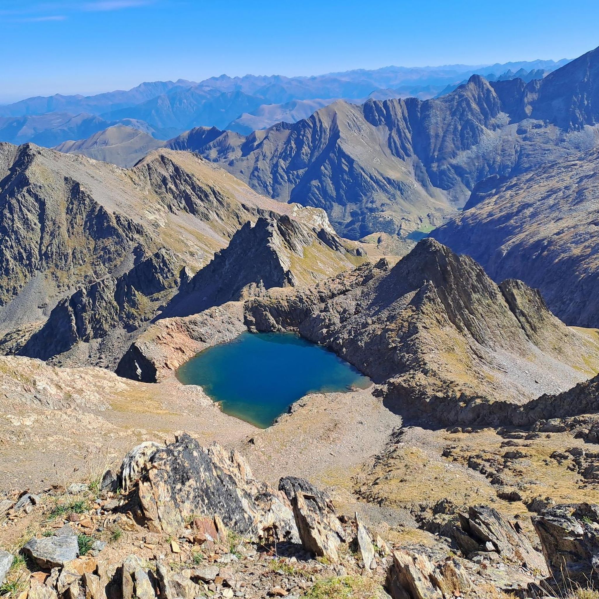
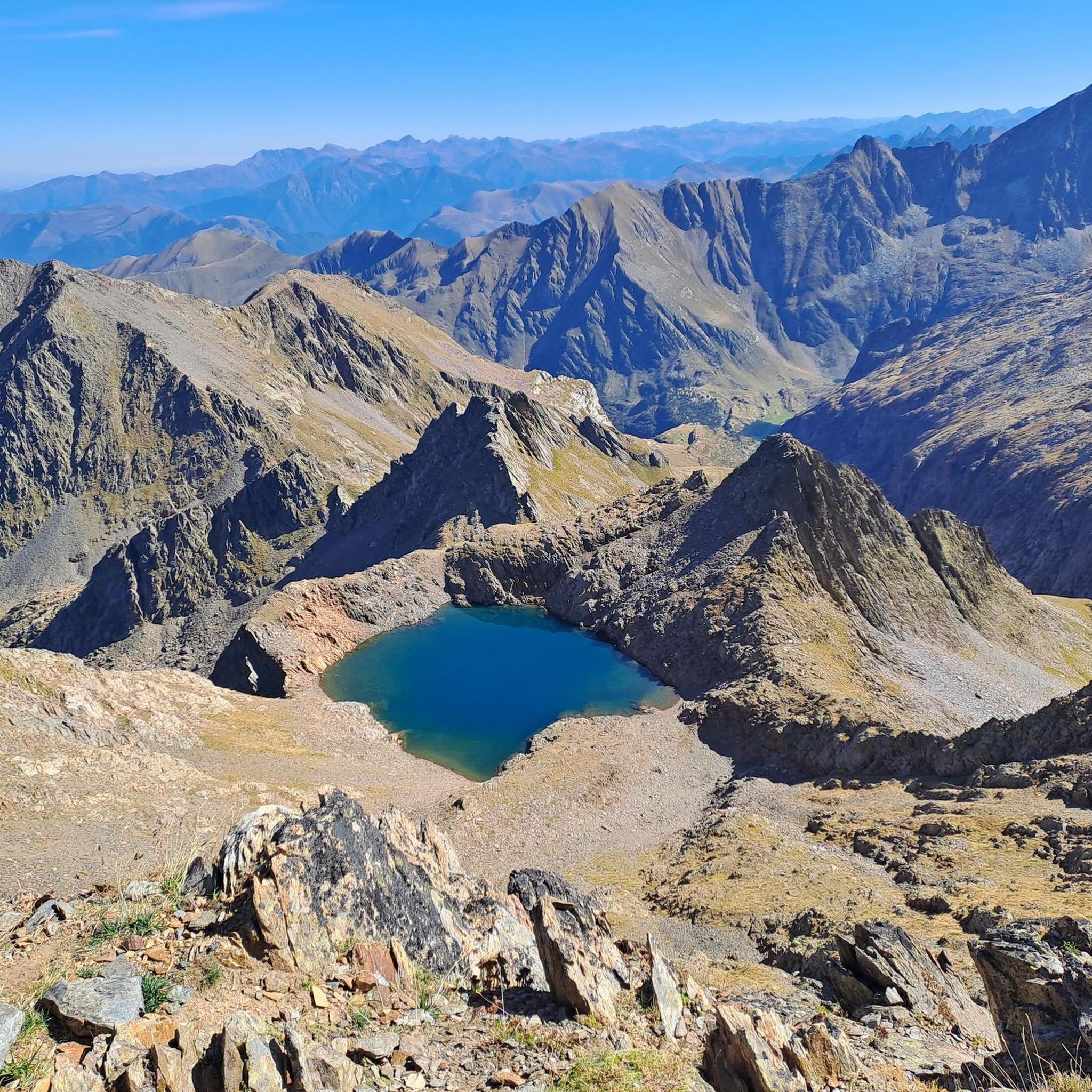
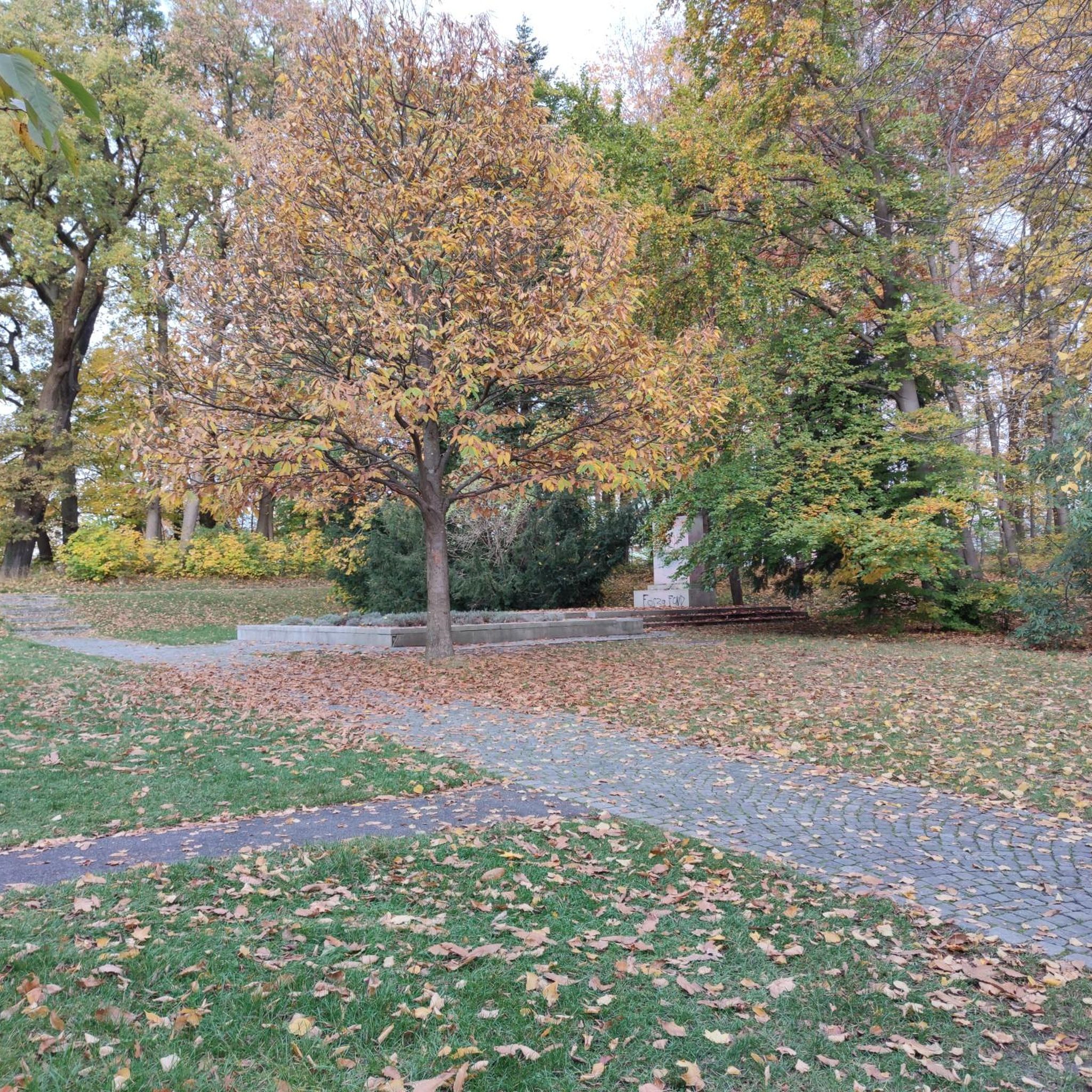
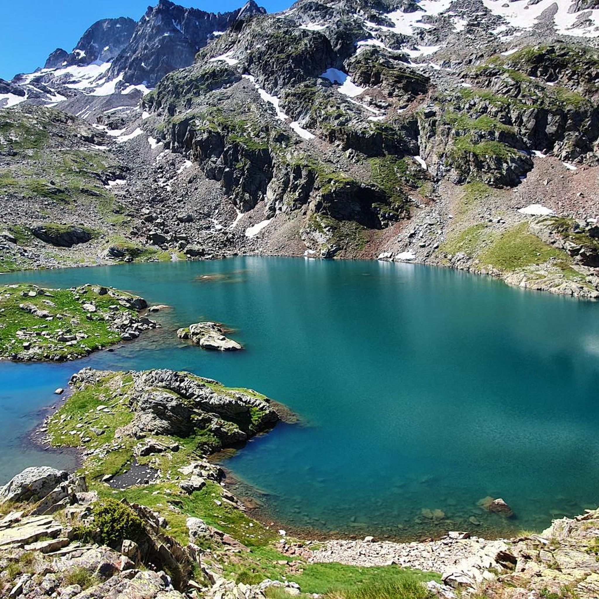

Tips from the Community

From here you also have a beautiful view of the Lac d‘Oô
0
0
The lake, which I had never heard of before my Pyrenees tour, is obviously a "must see" in this region. Together with the waterfall at the end of the lake, it is also a truly worthwhile hiking destination.
1
0


There is a camping option behind the hut. Hot meals and drinks can be ordered. Dinner and breakfast must be reserved.
2
0

Here the valley opens up to reveal a pretty plain. Continue up the valley to Lake Oô, to enjoy more magnificent views.
1
0

Hike to the stunning Lac d’Oô, a beautiful glacial lake nestled in the Pyrenees. As you approach the lake, you’ll be treated to breathtaking views of its clear, turquoise waters, surrounded by sheer cliffs and lush forest. The hike is moderately challenging, with rocky paths leading to a perfect viewpoint where the lake and surrounding peaks create a truly picturesque scene. Take some time to appreciate the tranquility of the area, where you can also catch a glimpse of the impressive Oô waterfall cascading down the mountainside.
0
0
Superb lake in the heart of the Louron valley with beautiful views of the surrounding mountains. The tour of the lake is a superb walk accessible to all. There are several playgrounds along the path.
0
0
Frequently Asked Questions
How challenging are the running trails around Lac de Caillaouas?
The running trails in this region are predominantly challenging. Out of 16 available routes, 12 are classified as difficult, and 4 are moderate. You'll encounter significant elevation changes and high-altitude terrain, making it ideal for runners seeking a demanding experience. For example, the Refuge du Portillon loop from Grand Quayrat is a difficult 5.2-mile path with substantial elevation gain.
What are the typical distances for running routes in this area?
Running routes around Lac de Caillaouas vary in distance. You can find shorter, moderate loops like the Lake Génos-Loudenvielle – Lake Génos loop from Pène des Aubères, which is 7.1 miles (11.4 km). For longer, more strenuous runs, options like the Les Granges d'Astau – Lac d'Oô loop from Granges d'Astau cover 14.0 miles (22.6 km) with considerable ascent.
Are there any running routes suitable for beginners?
While most routes are moderate to difficult, the region offers a few less strenuous options. The Les Granges d'Astau – The Granges of Astau loop from Granges d'Astau is a moderate 5.4-mile (8.7 km) trail with a more manageable elevation gain, making it a good choice for those newer to mountain running or looking for a less intense workout.
Where can I park when visiting the running trails?
Parking is generally available at key starting points for many routes. For trails originating from Granges d'Astau, such as the Les Granges d'Astau – Lac d'Oô loop, you'll find designated parking areas. Similarly, routes around Lake Génos-Loudenvielle often have parking facilities nearby.
Is public transport available to reach the running routes?
Access to the more remote mountain trails around Lac de Caillaouas is primarily by car. While some valley towns may have limited bus services, reaching specific trailheads often requires private transport. It's advisable to check local transport schedules if you plan to rely on public options, as services can be infrequent, especially outside peak season.
Are there family-friendly running routes around Lac de Caillaouas?
Given the high-mountain terrain and significant elevation changes, most routes are geared towards experienced runners. However, the moderate Lake Génos-Loudenvielle – Lake Génos loop from Pène des Aubères, with its scenic views and relatively lower elevation gain, could be suitable for active families looking for a longer walk or a gentle run together.
Can I bring my dog on the running trails?
Many trails in the Pyrenees, including those around Lac de Caillaouas, are generally dog-friendly. However, it's crucial to keep your dog on a leash, especially in areas with livestock or protected wildlife. Always ensure your dog is well-behaved and that you carry waste bags. Check specific local regulations for any restrictions.
Are there circular running routes available?
Yes, many of the popular running routes in the Lac de Caillaouas area are circular, offering varied scenery without retracing your steps. Examples include the Lake Génos-Loudenvielle – Lake Génos loop and the challenging Refuge du Portillon loop from Grand Quayrat.
What scenic viewpoints can I expect on the running trails?
The region is renowned for its stunning mountain vistas. Trails often lead to panoramic viewpoints overlooking high-altitude lakes like Lac d'Oô and Lac de Caillaouas, as well as expansive mountain valleys. The View of the plain – View of the Lac d'Oô waterfall loop specifically highlights scenic outlooks and a dramatic waterfall.
Are there opportunities for wild swimming near the running routes?
The area is dotted with numerous high-mountain lakes, such as Lac d'Oô and Lac de Caillaouas, which can offer opportunities for a refreshing dip after a run. While not officially designated swimming spots, many runners enjoy cooling off in the pristine, cold waters. Always exercise caution, be aware of water temperatures, and respect the natural environment.
What do other runners enjoy the most about jogging in Lac de Caillaouas?
The running routes around Lac de Caillaouas are highly rated by the komoot community, with an average score of 4.6 stars from over 30 reviews. Runners frequently praise the breathtaking high-mountain scenery, the challenging nature of the trails, and the sense of accomplishment from reaching mountain refuges and lakes. The diverse terrain, from open valleys to steep ascents, is also a common highlight.
What kind of terrain should I expect on the running trails?
Expect a mix of terrain characteristic of high-mountain environments. Trails often feature rocky paths, dirt tracks, and some technical sections, especially on the more difficult routes. You'll navigate through mountain valleys, past high-altitude lakes, and ascend to refuges, with surfaces ranging from smooth to rugged.
Most popular routes around Lac de Caillaouas

Get inspired with the komoot mobile app


Explore more
Browse the best Running Trails & Routes in other regions.
