The best running trails around Lago di Ripa Sottile
3.5
(37)
658
runners
50
runs
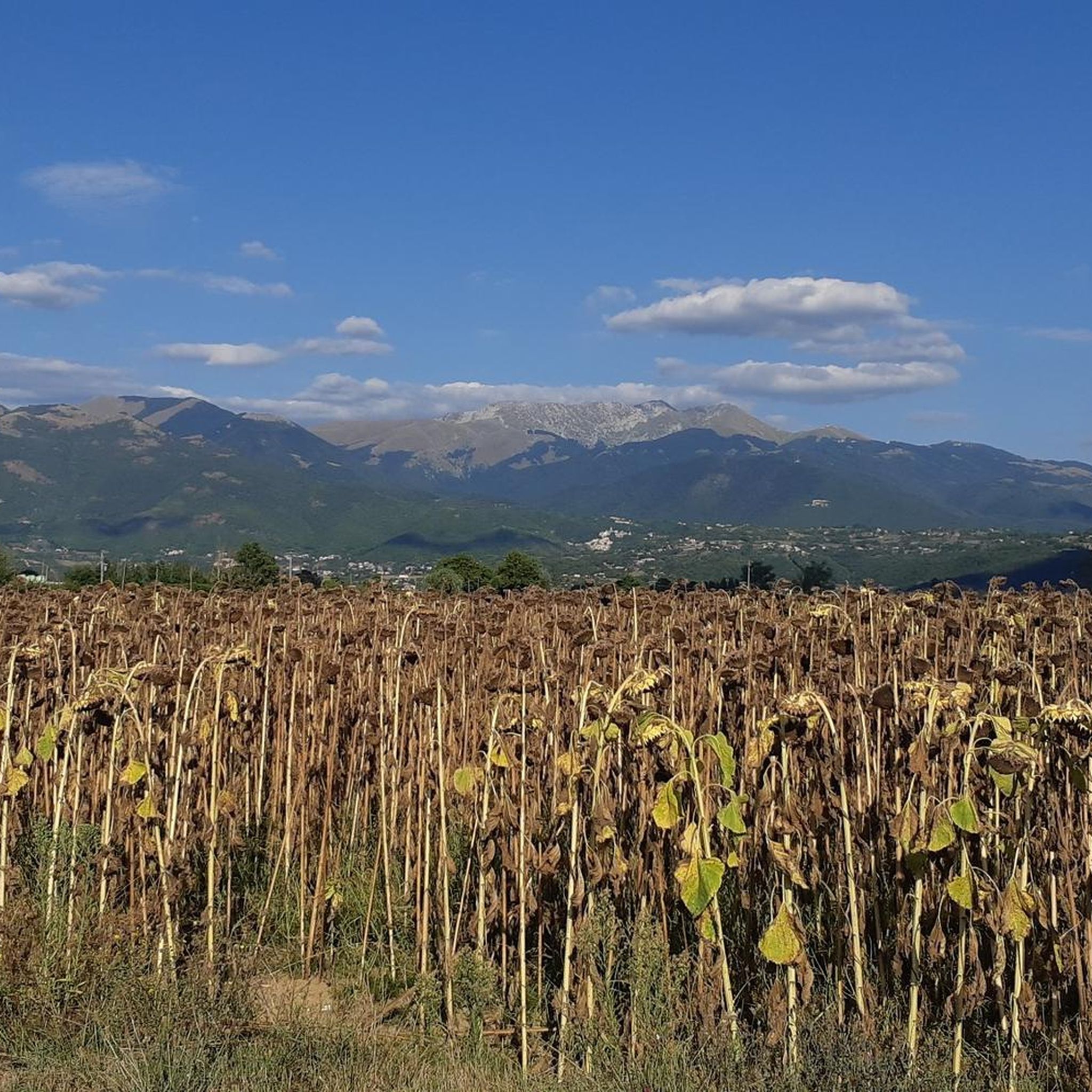
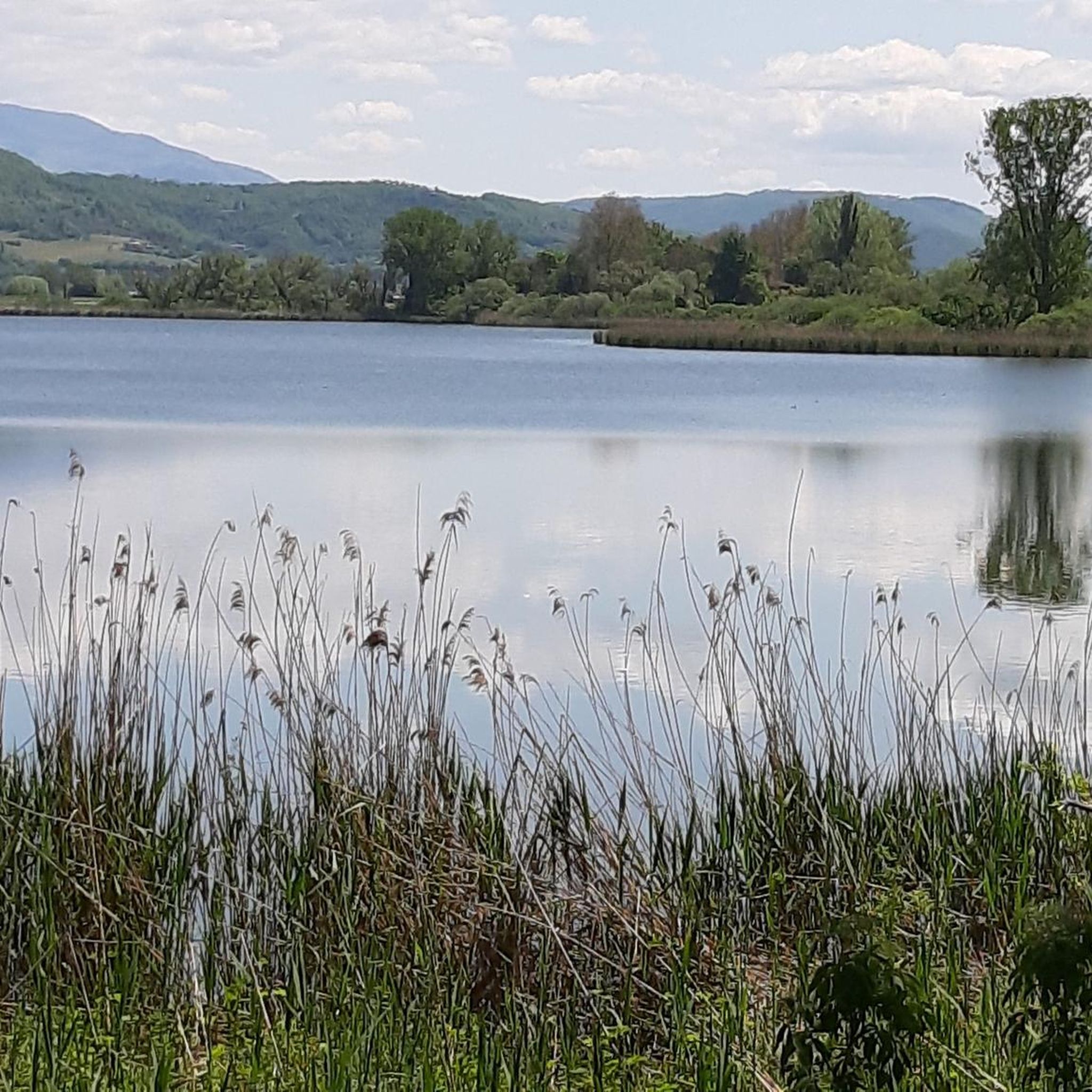
Jogging routes around Lago di Ripa Sottile offer a diverse range of terrain, from flat lakeside paths to more challenging hilly sections. The region is characterized by the presence of Lago di Ripa Sottile itself, providing scenic waterside running opportunities. Nearby features like Lake Piediluco and Monte Posatore contribute to a varied landscape that includes both open areas and elevated trails.
Best jogging routes around Lago di Ripa Sottile
- The most popular jogging route is Running loop from Aeroporto di…
Last updated: July 5, 2026
6
runners
5.73km
00:35
10m
10m
Moderate run. Good fitness required. Mostly paved surfaces. Suitable for all skill levels.
4.0
(1)
3
runners
7.69km
00:48
30m
30m
Moderate run. Good fitness required. Mostly paved surfaces. Suitable for all skill levels.

Sign up for free
2.9
(20)
26
runners
Moderate run. Good fitness required. Mostly paved surfaces. Suitable for all skill levels.
9
runners
8.23km
00:53
60m
60m
Moderate run. Good fitness required. Mostly paved surfaces. Suitable for all skill levels.
5.0
(1)
6
runners
5.72km
00:36
40m
40m
Moderate run. Good fitness required. Mostly paved surfaces. Suitable for all skill levels.
Get access to more routes and recommendations from other explorers.
Sign up for free
Already have an account?
Our route recommendations are based on thousands of hikes, rides, and runs completed by other people on komoot.
Start today with a free account
Your next adventure awaits.
Login or Signup
Tips from the Community

A stop at Piediluco Lake is highly recommended!
1
0

Chiesa del XIV secolo edificata in ricordo dei frequenti pellegrinaggi del Santo presso Piediluco (TR)
2
0

Lago di Piediluco / Lake Piediluco Located in the southeastern foothills of Umbria, with a tributary bordering Lazio, Lake Piediluco, although 1.85 km² wide, is the largest natural lake basin in the region after Lake Trasimeno. Its name seems to be interpreted as "at the foot of the sacred grove." Together with Lakes Lungo, Ripasottile, and Ventina, located in the province of Rieti, it represents one of the remains of the ancient Lacus Velinus, a large basin of alluvial origin formed starting in the Quaternary period. The irregularly shaped lake, with a circumference of approximately 13 kilometers, is located at an altitude of 375 meters and has a maximum depth of approximately 19 meters. Its natural tributary is the Fuscello stream; the other two tributaries are represented by artificial canals. One connects it to the Velino River, while the other, 42 kilometers long, consists almost entirely of tunnels and diverts part of the waters of the Nera River into the lake. The inflow and outflow of water is entirely tailored to the energy needs of the industry in nearby Terni. The emissary, the Velino River, is diverted towards Marmoré, where it flows into the Nera River to form the Marmore Waterfall. Text / Source: wikipedia.org https://it.wikipedia.org/wiki/Lago_di_Piediluco
14
0

Going down via Roma you reach the Velino bridge, known however by the same name as the one demolished in the thirties and placed, a little below, on the river bed: Roman bridge.
1
0

A hamlet of a thousand inhabitants in the municipality of Terni, Piediluco is known for the lake of the same name and is frequented by those visiting the nearby Marmore waterfalls. Of particular charm here is also the Rocca Albornoz, which stands on Monte Luco, abandoned since the end of the 18th century.
0
0

It is early morning and the air is still like the lake water, everything is silent before the awakening of nature and man. The sun is there and begins to make visible the palette of a thousand colors. It is life that gives itself
0
0

Always a beautiful lake to walk on
0
0

The name Piediluco derives from Latin and means "at the foot of the sacred forest", the town stands on the shores of the lake of the same name and at the foot of Mount Luco. Once upon a time the main commercial activity was fishing. This close relationship with the lake is also visible in the bas-reliefs of the entrance door of the church of San Francesco where fish and fishing tools are depicted. On the day of the summer solstice the town comes alive for the Water Festival with concerts, dances and a parade of allegorical boats.
1
0
Frequently Asked Questions
How many running routes are available around Lago di Ripa Sottile?
There are over 40 diverse running routes mapped and shared by the komoot community around Lago di Ripa Sottile, catering to various fitness levels and preferences.
Are there any easy or beginner-friendly jogging routes in the Lago di Ripa Sottile area?
Yes, the region offers several easy routes perfect for beginners. While many are moderate, there are at least 2 routes specifically rated as easy. These typically feature flatter terrain, often along the lakeside, providing a gentle introduction to running in the area.
Can I find circular running trails around Lago di Ripa Sottile?
Absolutely. Many of the routes around Lago di Ripa Sottile are designed as loops, allowing you to start and finish at the same point. For example, the Running loop from Aeroporto di Rieti Giuseppe Ciuffelli is a popular moderate circular option, offering open views.
What are the typical distances for running routes near Lago di Ripa Sottile?
Running routes in this area vary in length. You can find shorter loops around 3.5 miles (5.7 km), such as the Lake Piediluco – Church of San Francesco loop from Labro, which is great for a quick run. Longer options, like the Monte Posatore loop from Labro, extend to about 5.6 miles (9.0 km) for a more challenging workout.
Are the running trails around Lago di Ripa Sottile suitable for families?
Many of the flatter, lakeside paths are suitable for families, especially those with older children who enjoy running. Look for routes marked as 'easy' or 'moderate' with minimal elevation gain for a more family-friendly experience. The scenic environment makes for an enjoyable outing for all.
Are dogs allowed on the jogging paths around Lago di Ripa Sottile?
Generally, dogs are welcome on trails in the Lago di Ripa Sottile region, especially on leash. It's always a good idea to check local signage for any specific restrictions, particularly in nature reserves or protected areas. Many runners enjoy bringing their canine companions along for a lakeside jog.
What kind of scenery can I expect along the running routes?
The routes offer a mix of picturesque landscapes. You'll find scenic waterside running opportunities along Lago di Ripa Sottile and nearby Lake Piediluco. Some trails also lead through open areas, while others, like the Monte Posatore loop from Labro, provide hilly sections with elevated views.
What do other runners say about the jogging experience in Lago di Ripa Sottile?
The running routes around Lago di Ripa Sottile are highly regarded by the komoot community, with an average rating of 3.8 stars from over 40 reviews. Runners often praise the diverse terrain, from flat lakeside paths to more challenging hilly sections, and the beautiful natural surroundings.
Are there any specific routes that offer great viewpoints?
Yes, routes that venture into the hilly terrain, such as those around Monte Posatore, are likely to offer elevated viewpoints with panoramic vistas of the lakes and surrounding landscape. The open sections of many routes also provide expansive views.
What is the best time of year to go jogging around Lago di Ripa Sottile?
Spring and autumn generally offer the most pleasant conditions for jogging, with mild temperatures and beautiful natural colors. Summer mornings and evenings are also ideal to avoid the midday heat. Winter running is possible, but be prepared for cooler temperatures and potentially wet conditions.
Are there options for more challenging or difficult running trails?
Yes, for experienced runners seeking a challenge, there are 11 routes rated as difficult. These typically involve significant elevation gain and more rugged terrain. An example is the Monte Posatore loop from Labro, which features substantial uphill sections.
Where can I find parking for the running trails?
Parking availability varies by trailhead. Many routes, especially those starting from towns or popular recreational areas like near Aeroporto di Rieti Giuseppe Ciuffelli or Labro, will have designated parking areas. It's advisable to check the specific route details on komoot for parking information before you go.
Are there any amenities like cafes or restrooms along the routes?
While many routes are natural trails, those passing through or near towns like Labro or Piediluco will offer access to cafes, restaurants, and public restrooms. For longer, more remote runs, it's best to carry your own water and snacks.
Most popular routes around Lago di Ripa Sottile

Get inspired with the komoot mobile app


Explore more
Browse the best Running Trails & Routes in other regions.
