The best running trails around Curran
4.5
(2)
206
runners
15
runs
Jogging routes around Curran traverse diverse natural landscapes within the Huron National Forest. The region is characterized by rolling hills, river valleys, and numerous lakes, shaped by glacial activity. Upland forests of pine and oak dominate the sandy soils, with elevations ranging from 577 feet to over 1,200 feet, providing varied terrain for running. The Au Sable River system, including Little Wolf Creek and Yoder Creek, also contributes to the area's natural features.
Best jogging routes around Curran
- The most…
Last updated: October 2, 2026
5
runners
6.94km
00:44
60m
60m
Moderate run. Good fitness required. Mostly paved surfaces. Suitable for all skill levels.
14
runners
18.6km
01:56
100m
100m
Hard run. Very good fitness required. Mostly paved surfaces. Suitable for all skill levels.

9
runners
8.78km
00:55
90m
90m
Moderate run. Good fitness required. Mostly paved surfaces. Suitable for all skill levels.
3
runners
7.72km
00:48
60m
60m
Moderate run. Good fitness required. Mostly paved surfaces. Suitable for all skill levels.
3
runners
9.19km
00:58
80m
90m
Moderate run. Good fitness required. Mostly paved surfaces. Suitable for all skill levels.
Get access to more routes and recommendations from other explorers.
Already have an account?
Our route recommendations are based on thousands of hikes, rides, and runs completed by other people on komoot.
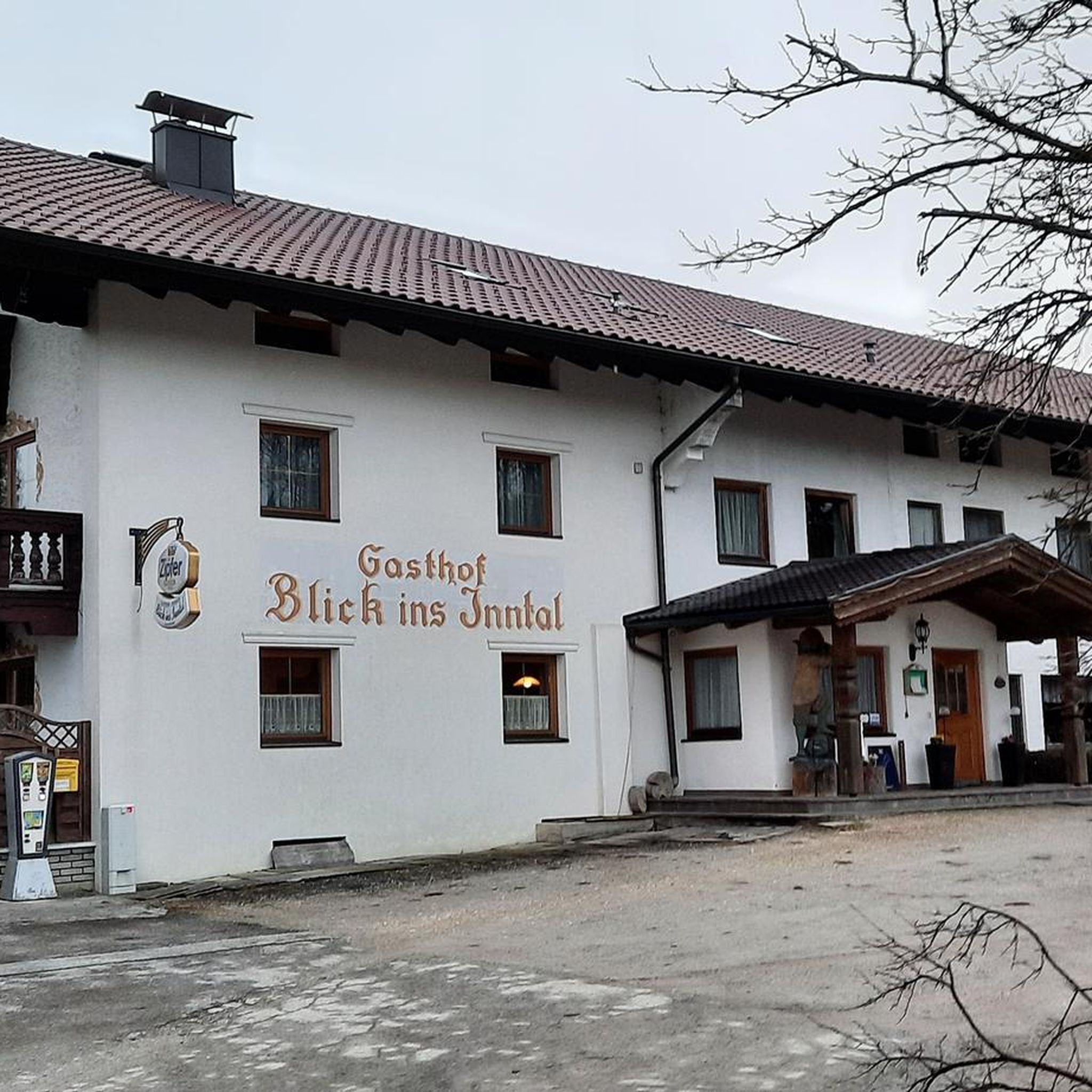

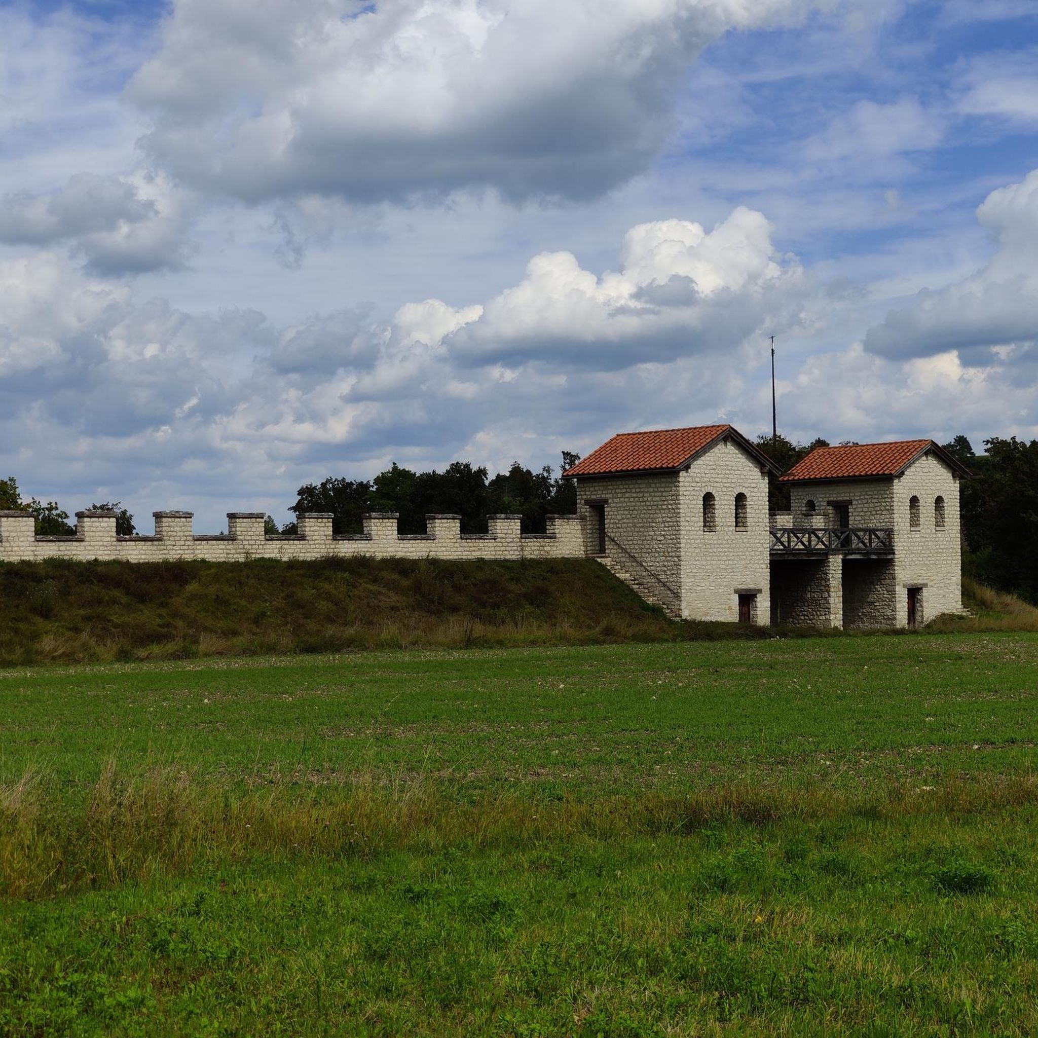
Tips from the Community

The weir at Dungannon park trickles down like a waterfall into a fresh pool of water surrounded by lush green nature.
1
0
Enjoy serene views of still waters and wading fishermen as you circumnavigate the lake at Dungannon Park.
1
0
Pull up a picnic blanket and enjoy the beautiful views over this weir in Dungannon Park. The water trickles down like a waterfall into a fresh pond surrounded by lush green nature.
2
0
Frequently Asked Questions
What kind of terrain can I expect on the running trails around Curran?
The running trails in and around Curran offer a diverse landscape, primarily within the expansive Huron National Forest. You'll encounter rolling hills, picturesque river valleys, and numerous lakes, all shaped by glacial activity. The upland forests are predominantly pine and oak, thriving in sandy soils. Elevations can vary significantly, from 577 feet near Lake Huron to over 1,200 feet southwest of Curran, providing a range of challenges for runners.
Are there any challenging running routes for experienced joggers in Curran?
Yes, for experienced runners seeking a challenge, the region offers routes with more demanding terrain and elevation changes. An example is the Rath loop from Clonoe Park & Ride, which is classified as difficult and spans over 11 miles, making it suitable for those looking for a longer, more strenuous run.
What are some moderate running options for a consistent jog in Curran?
Many routes around Curran are ideal for a consistent, moderate jog. For instance, the Dungannon Park from Dungannon Bus Station offers a straightforward path over 4 miles, typically completed in under an hour. Another great option is the Running loop from Tartlaghan, which is also a moderate 4.8-mile trail through varied landscapes.
Can I find any scenic views or landmarks along the jogging routes in Curran?
While jogging around Curran, you can enjoy the natural beauty of the Huron National Forest, including the Au Sable River system and its creeks like Little Wolf Creek and Yoder Creek. For specific points of interest, consider routes that pass by highlights such as the Blackwater River Walk or the Dungannon Park Weir. The area is also known as the 'Black Bear Capital of Michigan,' so keep an eye out for wildlife.
Are there any historical sites or man-made monuments near the running trails?
Yes, beyond the natural landscapes, you can find historical sites and man-made monuments. For example, the Mountjoy Castle and Castle Caulfield Ruins offer glimpses into the region's past. The The Argory Country House is another notable man-made monument worth exploring.
What do other runners say about the jogging experience in Curran?
The jogging routes in Curran are highly regarded by the komoot community, holding an average rating of 4.5 stars. Over 200 runners have used komoot to explore the area, often praising the diverse terrain, from rolling hills to serene river valleys, and the immersive experience within the pine and oak forests of the Huron National Forest.
Are there any loop trails available for running in Curran?
Yes, Curran offers several excellent loop trails for runners. The Roughan Lough loop from Glencon is a moderate 9-kilometer option, while the Running loop from Dungannon provides another moderate 9-kilometer circuit, allowing you to start and finish in the same location.
What is the best time of year to go jogging in Curran?
Curran offers beautiful jogging opportunities throughout the year. Spring and fall provide pleasant temperatures and vibrant scenery, with changing foliage in autumn. Summer is also popular, though it can be warmer. Winter jogging is possible, especially on groomed trails like those found at Hoist Lakes Foot Travel Area or Reid Lake Hiking & Ski Trails, which are also suitable for running when not covered in deep snow.
Are there any specific areas known for extensive trail systems suitable for running?
Absolutely. The Huron National Forest, which surrounds Curran, boasts an impressive 236 miles of trails. Key areas with extensive trail systems suitable for running include the Hoist Lakes Foot Travel Area and the Reid Lake Hiking & Ski Trails. These locations offer a variety of paths, from easy to more challenging, catering to different running preferences.
Is public transport available to reach the jogging routes around Curran?
Curran is an unincorporated community within a rural area, and direct public transport options to specific trailheads may be limited. Most visitors typically rely on personal vehicles to access the various jogging routes and trail systems within the Huron National Forest. It's advisable to plan your transportation in advance.
Are there any permits required for jogging on trails in the Curran area?
Generally, permits are not required for day-use jogging on most public trails within the Huron National Forest. However, specific areas or activities might have different regulations. It's always a good practice to check with the local forest service office or relevant land management agencies for any specific requirements, especially if you plan to camp or engage in other regulated activities.
Most popular routes around Curran
Most popular attractions around Curran

Get inspired with the komoot mobile app


Explore more
Browse the best Running Trails & Routes in other regions.
