The best walks and hikes around Lago di Mergozzo
4.4
(10141)
43,374
hikers
556
hikes
Hiking trails around Lago di Mergozzo offer diverse terrain in the Verbano-Cusio-Ossola region of Italy. The area is characterized by the clear waters of Lago di Mergozzo, surrounded by hills and mountains like Mont'Orfano, providing both lakeside paths and elevated viewpoints. The landscape includes forested slopes, rocky outcrops, and historical pathways, connecting the lake with the wider Val d'Ossola.
Best hiking trails around Lago di Mergozzo
- The most popular hiking route is Mont'Orfano Loop from Mergozzo, a 6.4 miles (10.4 km) trail that takes 3 hours 53 minutes to complete. This moderate route offers panoramic views of the lake and surrounding valleys.
- Another top favourite among local hikers is Lake Mergozzo – View of Lake Mergozzo loop from Mergozzo, a moderate 5.1 miles (8.2 km) path. This circular trail provides continuous views of Lago di Mergozzo and its tranquil shores.
- Local hikers also love the Mont'Orfano - Cadorna Line Trail (A58), a 6.6 miles (10.7 km) trail leading through historical fortifications and forested slopes, often completed in about 3 hours 48 minutes.
- Hiking around Lago di Mergozzo is defined by lake views, forested hills, and historical paths. The network offers options for easy strolls along the water's edge to more challenging ascents into the surrounding mountains.
- The routes in Lago di Mergozzo are highly rated by the komoot community with an average score of 4.4 stars from over 8,000 reviews. More than 36,000 hikers have used komoot to explore Lago di Mergozzo's varied terrain.
Last updated: September 28, 2026
4.6
(362)
1,337
hikers
10.4km
03:53
580m
580m
Hike the moderate Mont'Orfano Loop from Mergozzo for 6.4 miles (10.4 km) with panoramic lake views and historical fortifications.
4.5
(8)
88
hikers
10.7km
03:49
570m
570m
Hike the Mont'Orfano - Cadorna Line Trail (A58), a moderate 6.6-mile route with 1,868 feet of gain, offering historical insights and panoram

4.8
(6)
65
hikers
11.3km
05:17
1,030m
1,030m
Ancient cobblestone mule track climbs through beech forests to 360-degree views of three lakes.
3.0
(2)
13
hikers
15.4km
04:33
440m
440m
Historic Roman road connecting Lake Maggiore to Mergozzo through ancient woodlands and hilltop churches.
4.7
(107)
516
hikers
Easy hike. Great for any fitness level. Easily-accessible paths. Suitable for all skill levels.
Get access to more routes and recommendations from other explorers.
Already have an account?
Our route recommendations are based on thousands of hikes, rides, and runs completed by other people on komoot.
Start today with a free account
Your next adventure awaits.


Tips from the Community

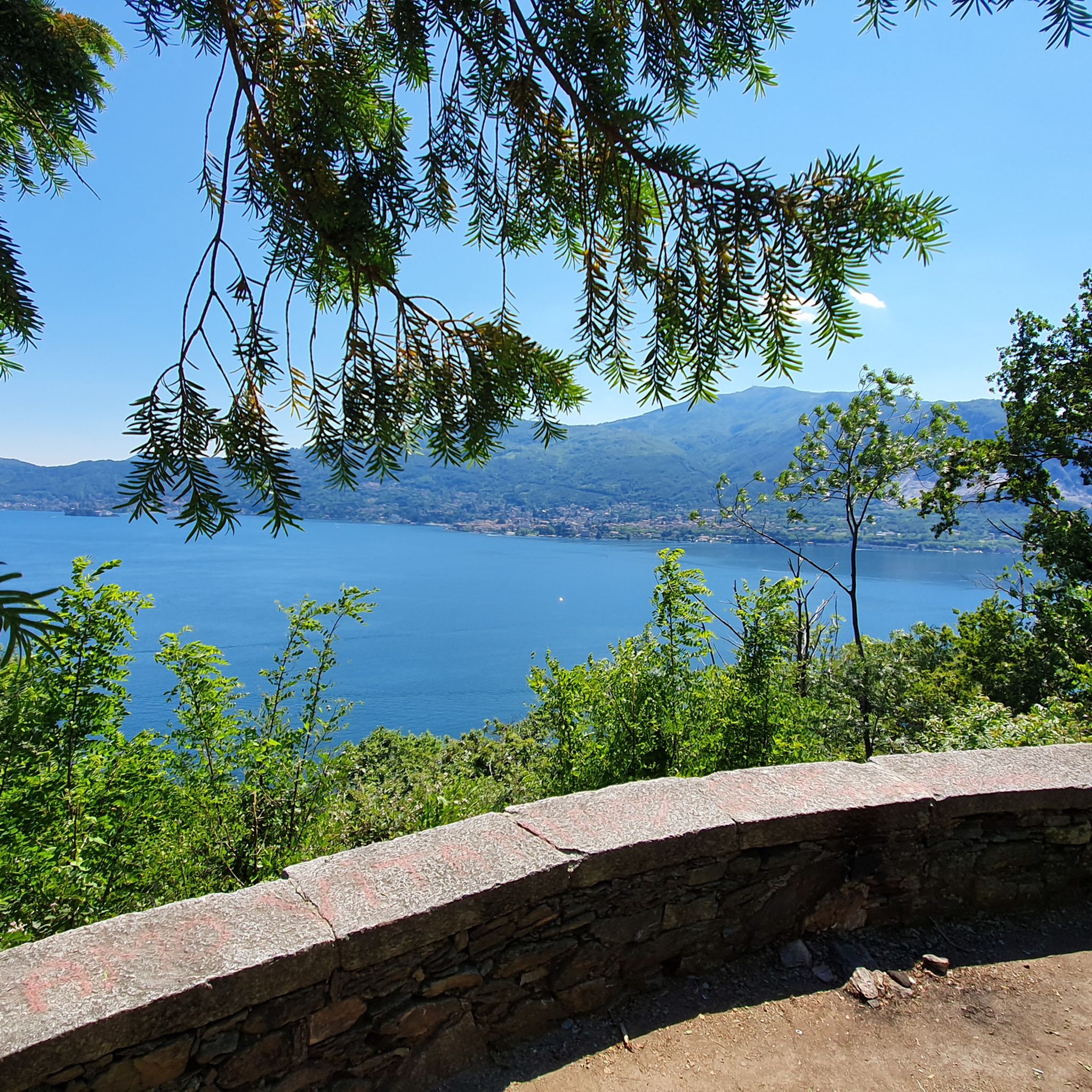
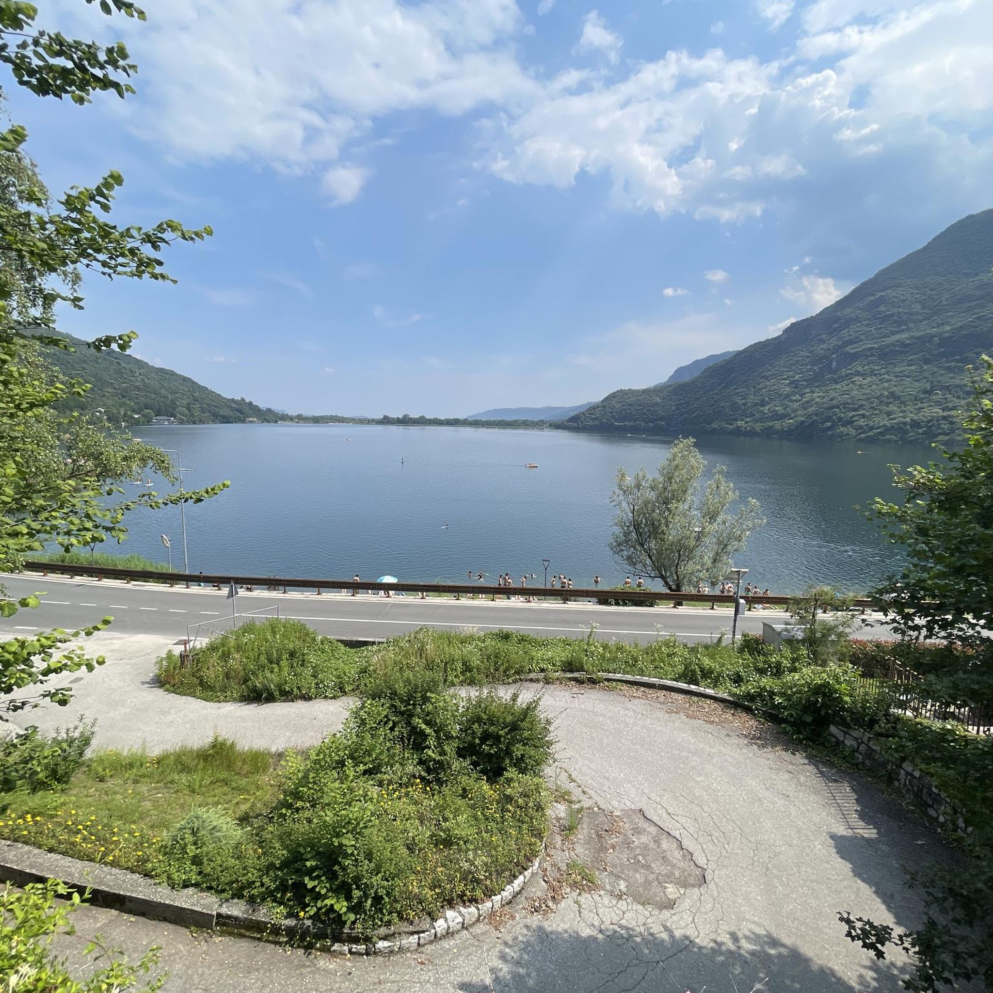
Lago di Mergozzo is a small and clear body of water located in Piedmont, in the province of Verbano-Cusio-Ossola. In the past, it was the westernmost inlet of Lake Maggiore. The floods of the Toce river created a strip of land that separated the two lakes. It is one of the cleanest lakes in Italy and Europe. On the lake, the use of motorboats is absolutely forbidden to preserve the ecosystem.
0
0

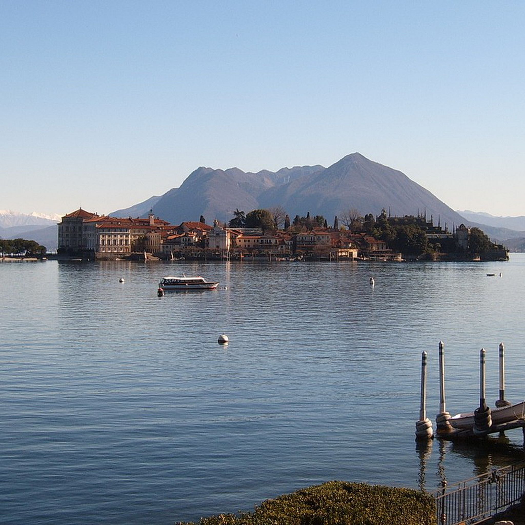
View of Lake Orta
0
0

Very beautiful waterfall along the way.
2
0
Yes, we also had easy access to the campsite, but unfortunately, we had to take a detour through the main entrance to get out. We only wanted to hike along the lake.
2
0
Great villas in a beautiful location
2
0
The steep stone stairs lead directly down to the lake, or up ;-)
2
0
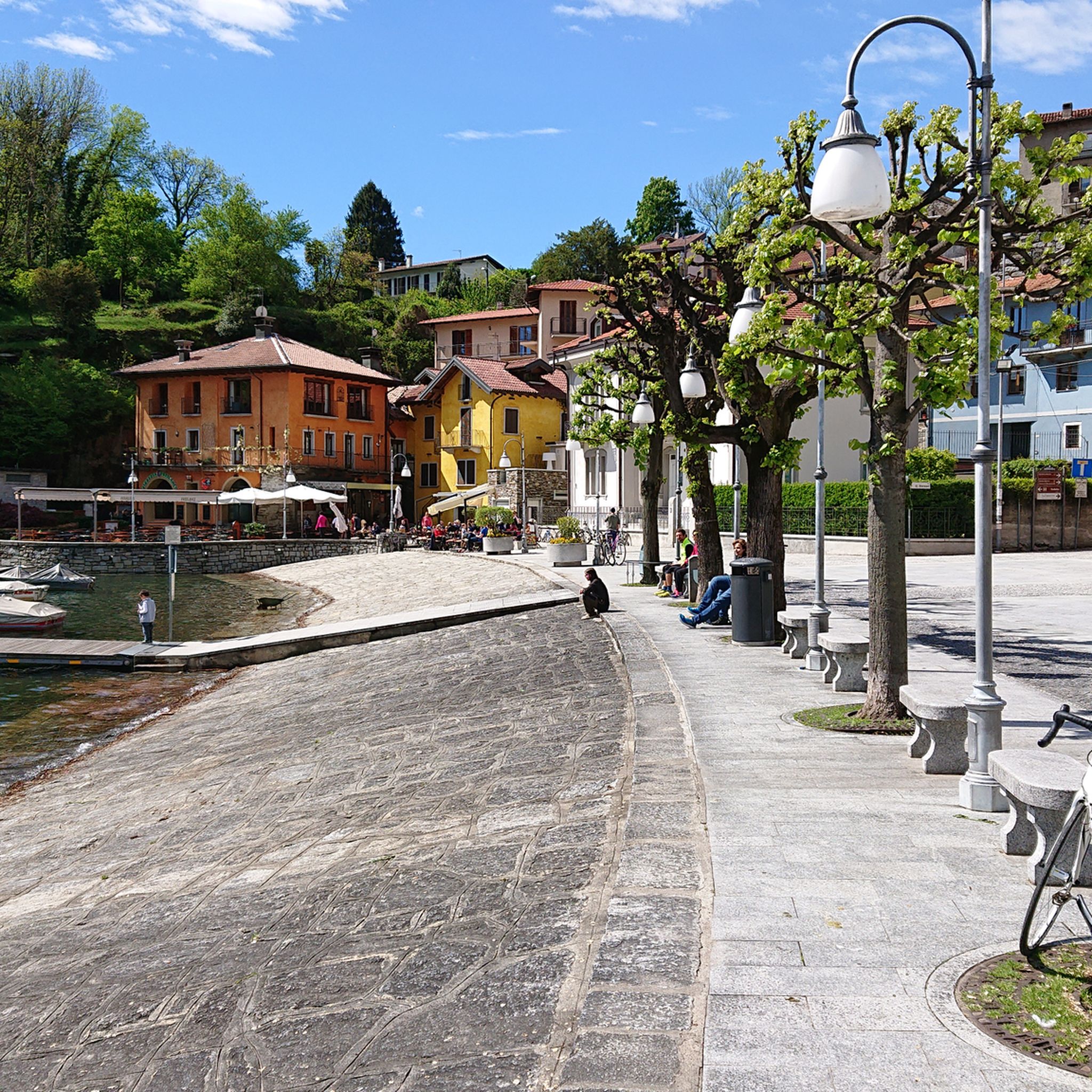
Mergozzo has retained its medieval character. Once known for its location on the old trade route from Italy over the Simplon Pass (Sempione) into Valais, the town feels as if time has stood still, with its narrow, pedestrian streets, pretty churches, and modest houses. The small town's lakeside promenade is particularly beautiful and well-maintained, making for a pleasant stroll.
2
0
Beautiful little streets, often with cobblestones, characterise the townscape of Mergozzo
2
0
Frequently Asked Questions
Are there easy hiking trails suitable for beginners around Lago di Mergozzo?
Yes, Lago di Mergozzo offers a good selection of easy trails. Out of over 500 routes in the area, nearly 200 are classified as easy. These often follow the lake shore or gentle slopes, providing accessible options for those new to hiking or looking for a relaxed walk.
Are there any circular hiking routes around Lago di Mergozzo?
Yes, many routes around Lago di Mergozzo are circular. For example, the Lake Mergozzo – View of Lake Mergozzo loop from Mergozzo is a moderate 5.1-mile (8.2 km) path that offers continuous views of the lake. Another popular option is the Mont'Orfano Loop from Mergozzo, which provides panoramic views from higher ground.
What is the best season for hiking around Lago di Mergozzo?
The best seasons for hiking around Lago di Mergozzo are typically spring (April to June) and autumn (September to October). During these months, the weather is pleasant, temperatures are mild, and the natural scenery is vibrant with blooming flowers or autumn colors. Summer can be warm, especially for more strenuous climbs, but lakeside paths remain enjoyable. Winter hiking is possible, particularly on lower elevation trails, but some higher routes may be affected by snow or ice.
Are the hiking trails around Lago di Mergozzo suitable for families with children?
Yes, many trails around Lago di Mergozzo are family-friendly, especially those along the lake's edge or with minimal elevation gain. These routes often feature gentle terrain and offer opportunities to enjoy the scenery and local villages. Consider shorter, well-maintained paths for younger children.
Can I bring my dog on the hiking trails in the Lago di Mergozzo area?
Generally, dogs are welcome on most hiking trails around Lago di Mergozzo. It's always advisable to keep your dog on a leash, especially in populated areas, near livestock, or in nature protection zones. Remember to carry water for your pet and clean up after them to maintain the natural beauty of the area.
What kind of attractions or landmarks can I see while hiking near Lago di Mergozzo?
While hiking, you can explore various attractions. The lake itself, Lake Mergozzo, is a central feature. You might walk along the scenic Blue Trail (Lake Mergozzo) or enjoy views from a Bench with panoramic view over Lake Mergozzo. The Lakeside Promenade of Mergozzo also offers a pleasant stroll. Some trails, like the Mont'Orfano - Cadorna Line Trail (A58), even lead through historical fortifications.
Are there less crowded hiking options for a more peaceful experience?
While popular routes can see more visitors, the Lago di Mergozzo area has over 500 trails, offering plenty of opportunities for solitude. Consider exploring some of the moderate or difficult routes, such as the Monte Faiè Summit Trail from Mergozzo (via A52), which provides a more challenging ascent and often fewer hikers, especially on weekdays or outside peak season.
What do other hikers enjoy the most about hiking in Lago di Mergozzo?
The area is highly rated by the komoot community, with an average score of 4.4 stars from over 8,000 reviews. Reviewers often praise the stunning lake views, the variety of trails from easy lakeside strolls to more challenging mountain ascents, and the well-maintained paths that connect natural beauty with historical sites.
Is there public transport access to the hiking trailheads around Lago di Mergozzo?
Public transport options to reach trailheads around Lago di Mergozzo are available, though they might be less frequent than in larger urban areas. Buses connect Mergozzo with nearby towns like Verbania and Domodossola, which have train stations. Checking local bus schedules in advance is recommended to plan your access to specific starting points.
Where can I find parking near the hiking trails in Lago di Mergozzo?
Parking is generally available in the main villages around Lago di Mergozzo, such as Mergozzo itself. Look for designated public parking areas, which may be free or paid depending on the location and season. For specific trailheads, parking information is often available on local tourism websites or within the komoot tour descriptions.
Are there cafes or pubs near the hiking trails for refreshments?
Yes, the villages surrounding Lago di Mergozzo, particularly Mergozzo, offer various cafes, restaurants, and small shops where you can find refreshments, snacks, or a meal before or after your hike. Many establishments are conveniently located near the lake and popular trail starting points.
Are there any historical routes to explore in the area?
Yes, the region boasts historical paths. The Historic Roman road from Lake Maggiore to Mergozzo is a notable example, offering a journey through ancient landscapes and providing a glimpse into the area's past connections.
Most popular routes around Lago di Mergozzo
Most popular attractions around Lago di Mergozzo

Get inspired with the komoot mobile app


Explore more
Browse the best Hikes in other regions.
