The best walks and hikes around Büttenhardt
4.5
(4179)
21,943
hikers
839
hikes
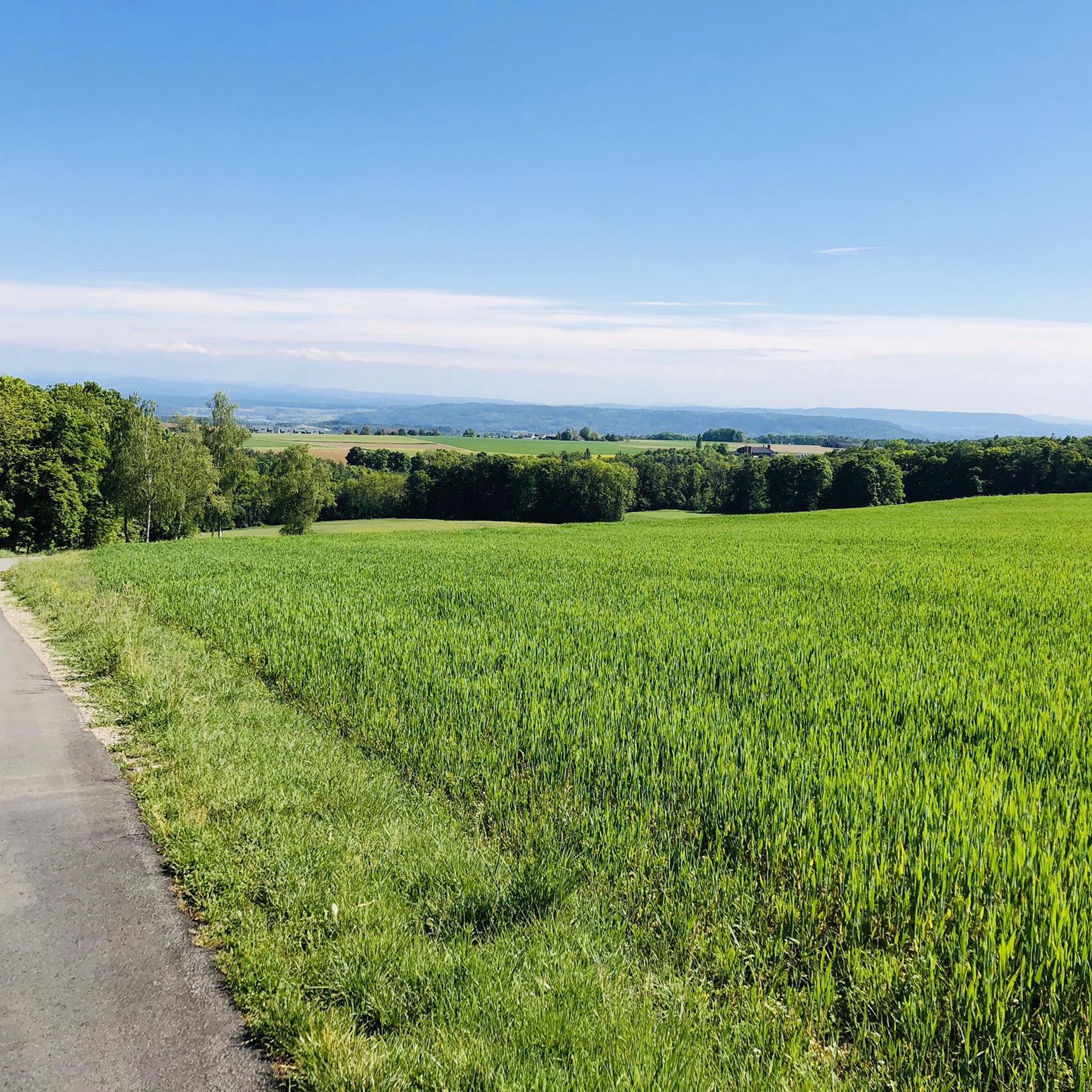
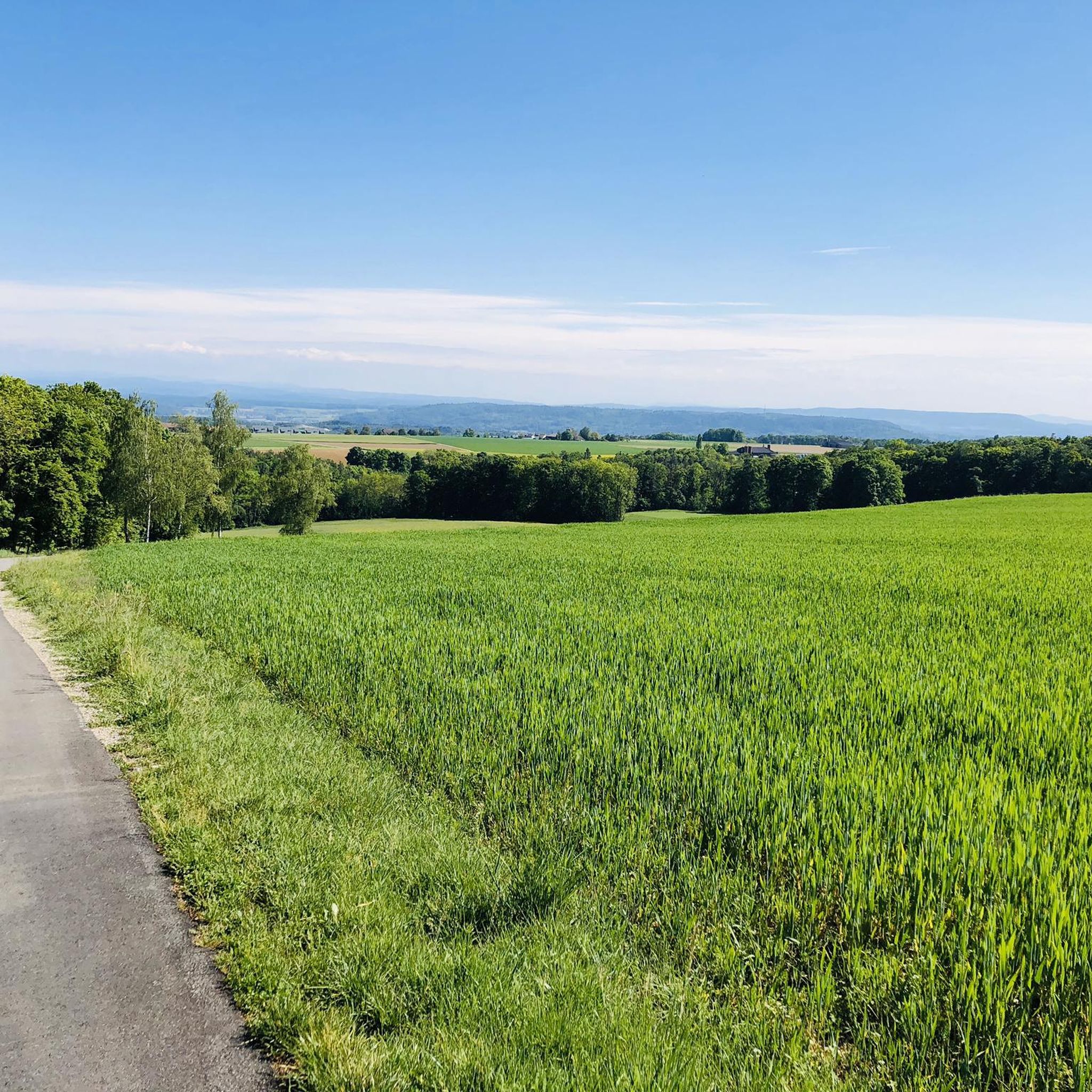
Hiking around Büttenhardt provides access to varied terrain within the Regionaler Naturpark Schaffhausen. The area features the Randen hills, extensive forests, and verdant valleys, with the Freudenbach stream adding to the natural charm. Topography includes plateaus, south-facing slopes, and elevated viewpoints, creating a diverse environment for outdoor activities.
Best hiking trails in Büttenhardt
- The most popular hiking route is Wase Parking Lot – View of Wannberg and the Hegau loop from Lohn SH, a 3.4 miles (5.4 km) trail…
Last updated: October 4, 2026
4.4
(9)
21
hikers
Easy hike. Great for any fitness level. Easily-accessible paths. Suitable for all skill levels.
5.0
(3)
11
hikers
13.9km
03:48
210m
210m
Moderate hike. Good fitness required. Easily-accessible paths. Suitable for all skill levels.

4.3
(3)
10
hikers
7.14km
01:55
90m
90m
Easy hike. Great for any fitness level. Easily-accessible paths. Suitable for all skill levels.
5.0
(1)
10
hikers
8.78km
02:32
230m
230m
Moderate hike. Good fitness required. Easily-accessible paths. Suitable for all skill levels.
5
hikers
7.83km
02:11
150m
150m
Moderate hike. Good fitness required. Easily-accessible paths. Suitable for all skill levels.
Get access to more routes and recommendations from other explorers.
Already have an account?
Our route recommendations are based on thousands of hikes, rides, and runs completed by other people on komoot.
Start today with a free account
Your next adventure awaits.

Tips from the Community

A very beautiful viewpoint! However, you need a good head for heights to climb the steep ladder!
0
0

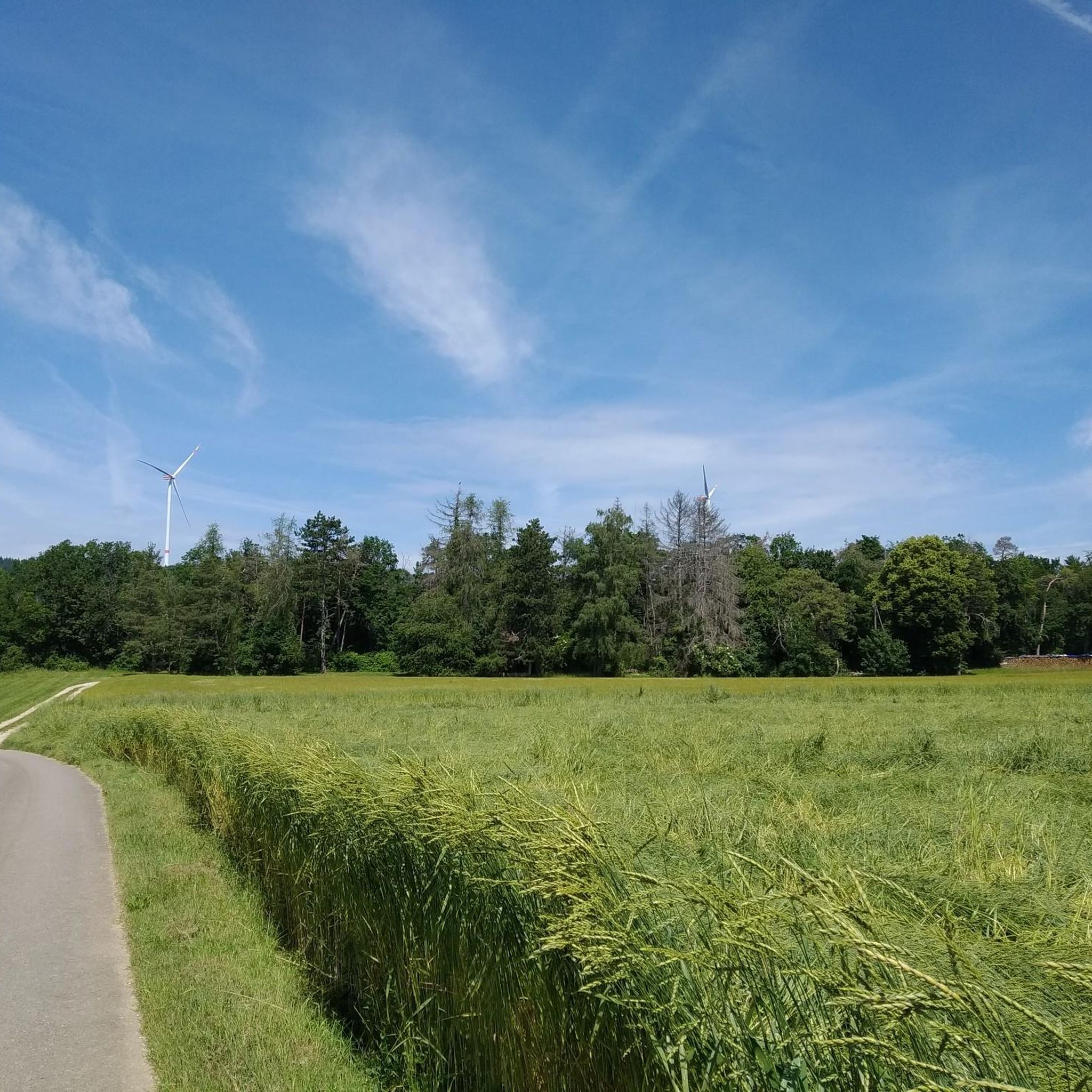
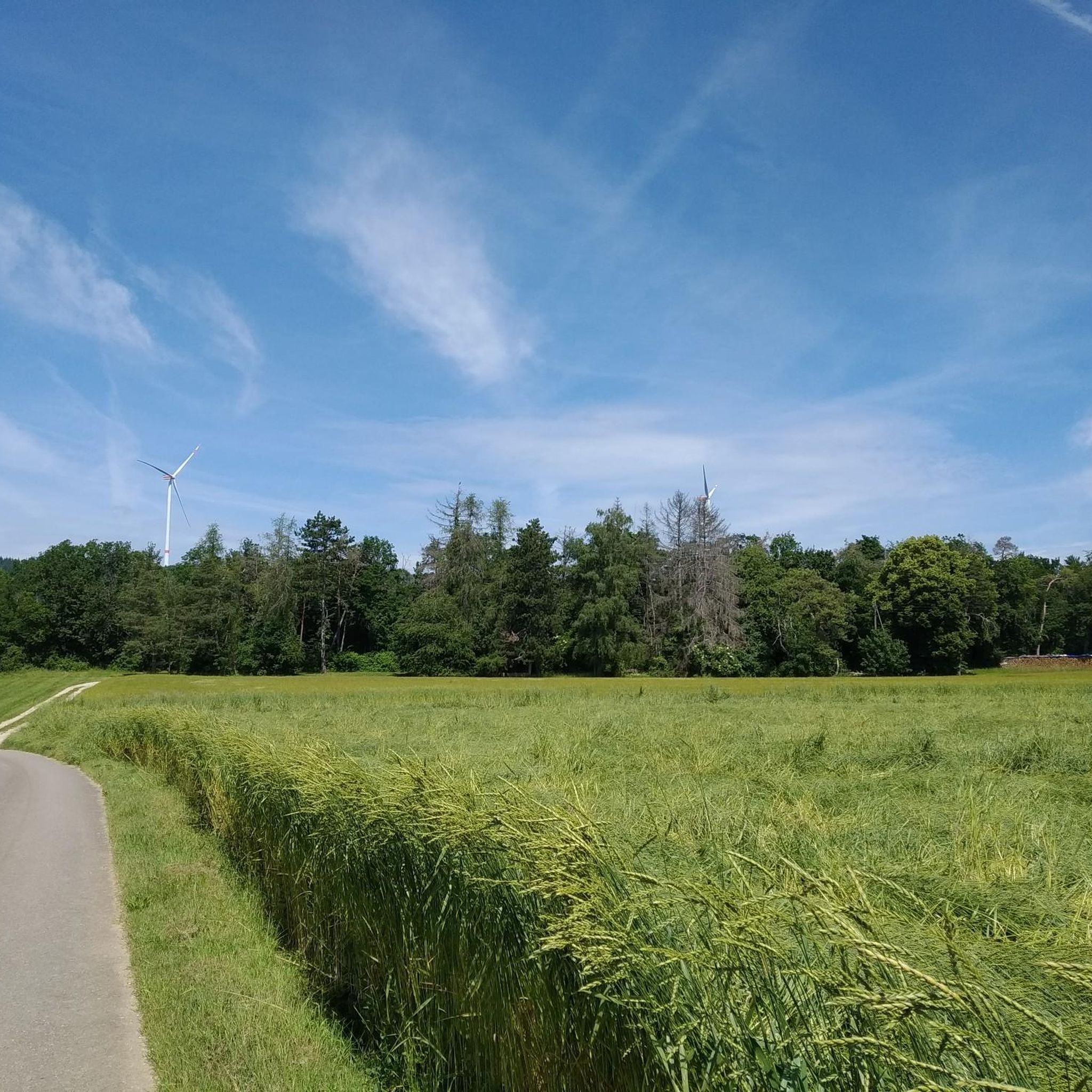
This path on the border between Switzerland and Germany leads right up to a wind turbine. Standing at the foot of its impressive modern windmills is always impressive, especially after a tough mountain bike climb.
0
0

A historic half-timbered house. Why Holländer House?? In 1648, a Tobias Holländer bought the farm and built his noble residence there
0
0
A brilliant view, unfortunately not so clear today.
0
0
good view of the Hegauberge, Hohenstoffel, Hohenhewen,
0
0
Unfortunately we were unlucky with the view, there was nothing to see except thick fog. Later in the afternoon the sun came out.
0
0
A border house was rebuilt at this location on the smugglers' ditch for viewing purposes. This ditch was used as a smuggling route, especially during World War II.
0
0
A border house - rebuilt - as could be seen here in the border region for a long time a few years ago.
1
0
Frequently Asked Questions
How many hiking trails are available around Büttenhardt?
There are over 800 hiking routes around Büttenhardt, offering a wide range of options for all skill levels. This includes more than 500 easy trails, nearly 300 moderate routes, and over 30 more challenging hikes.
What is the typical hiking terrain like in Büttenhardt?
The terrain around Büttenhardt is quite varied, situated within the Regionaler Naturpark Schaffhausen. You'll find extensive forests, verdant valleys, and the prominent Randen hills. The topography includes plateaus, south-facing slopes, and elevated viewpoints, providing diverse landscapes for exploration.
Are there circular walks available in Büttenhardt?
Yes, many routes around Büttenhardt are designed as circular walks. For example, the Hiking car park and rest area – Wind Turbine loop from Lohn SH is a moderate 8.7-mile loop, and the Wind Turbine – Wind Turbines in the Forest loop from Büttenhardt offers a 4.4-mile easy forest walk.
What natural features can I see on hikes around Büttenhardt?
Hikers can discover a variety of natural features. The region is characterized by the Randen hills and the Freudenbach stream. You can also explore the Mühlbachschlucht Waterfalls and Watermill, the dramatic Mühlbach Gorge, or the unique Kurzloch Rock Formation.
Are there any historical sites or castles to explore near Büttenhardt?
Absolutely. The area offers several historical attractions. You can visit the impressive Munot Fortress in Schaffhausen, the historic Schloss Wörth, or the All Saints Abbey Complex. Additionally, the Ruins of the Old Watermill in Mühlbach Gorge provide a glimpse into the region's past.
What do other hikers enjoy the most about hiking in Büttenhardt?
The hiking trails around Büttenhardt are highly rated by the komoot community, with an average score of 4.5 stars from over 3,400 reviews. Hikers often praise the diverse terrain, from the quiet woodlands to the panoramic views from elevated points within the Randen hills.
Are there family-friendly hikes in Büttenhardt?
Yes, Büttenhardt offers many easy walks suitable for families. The varied trail network includes routes with minimal elevation gain, allowing for enjoyable outings with children. The Wase Parking Lot – View of Wannberg and the Hegau loop from Lohn SH is an easy 3.4-mile trail that could be a good option for families.
What is the best time of year to hike in Büttenhardt?
Büttenhardt offers pleasant hiking experiences throughout much of the year. Spring is particularly beautiful, with routes like the 'Idylle im hohen Norden' showcasing vibrant spring landscapes. The extensive forests also provide welcome shade during warmer months.
What kind of elevation gain can I expect on hikes around Büttenhardt?
Elevation gain varies significantly depending on the trail. Easy routes, such as the Wase Parking Lot – View of Wannberg and the Hegau loop from Lohn SH, have modest gains of around 83 meters. Moderate trails, like the Bührer Fountain – Hofen loop from Opfertshofen SH, can feature ascents of over 250 meters, especially when exploring the Randen hills.
Are there amenities like rest stops or grilling spots along the trails?
Yes, the region provides amenities for hikers. You can find shelters like the Rühli-Hütte and established grilling spots at scenic locations such as Hohliflue and Churzloch, which offer views towards the volcanic cones of Hegau.
Can I bring my dog on the hiking trails in Büttenhardt?
Generally, hiking trails in Büttenhardt are dog-friendly, allowing you to enjoy the natural beauty with your canine companion. However, it's always advisable to keep dogs on a leash, especially in nature reserves or agricultural areas, and to respect local signage.
Most popular routes around Büttenhardt
Most popular attractions around Büttenhardt

Get inspired with the komoot mobile app


Explore more
Browse the best Hikes in other regions.
