The best running trails around Lake Tenarda
4.7
(4)
121
runners
16
runs
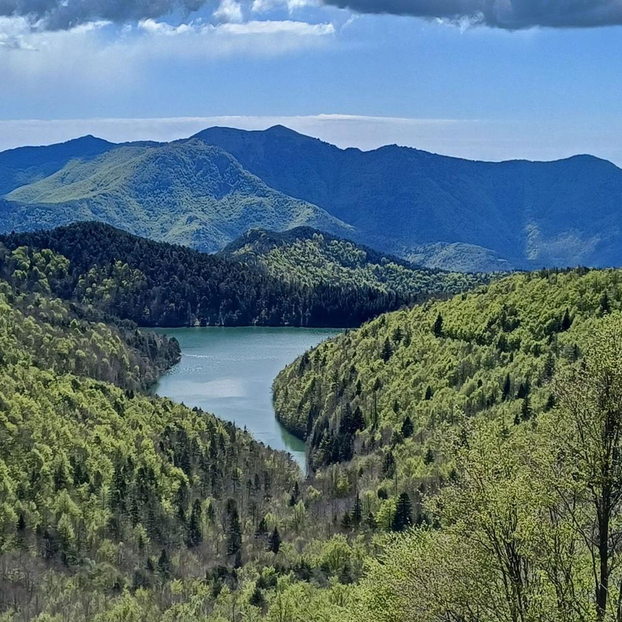
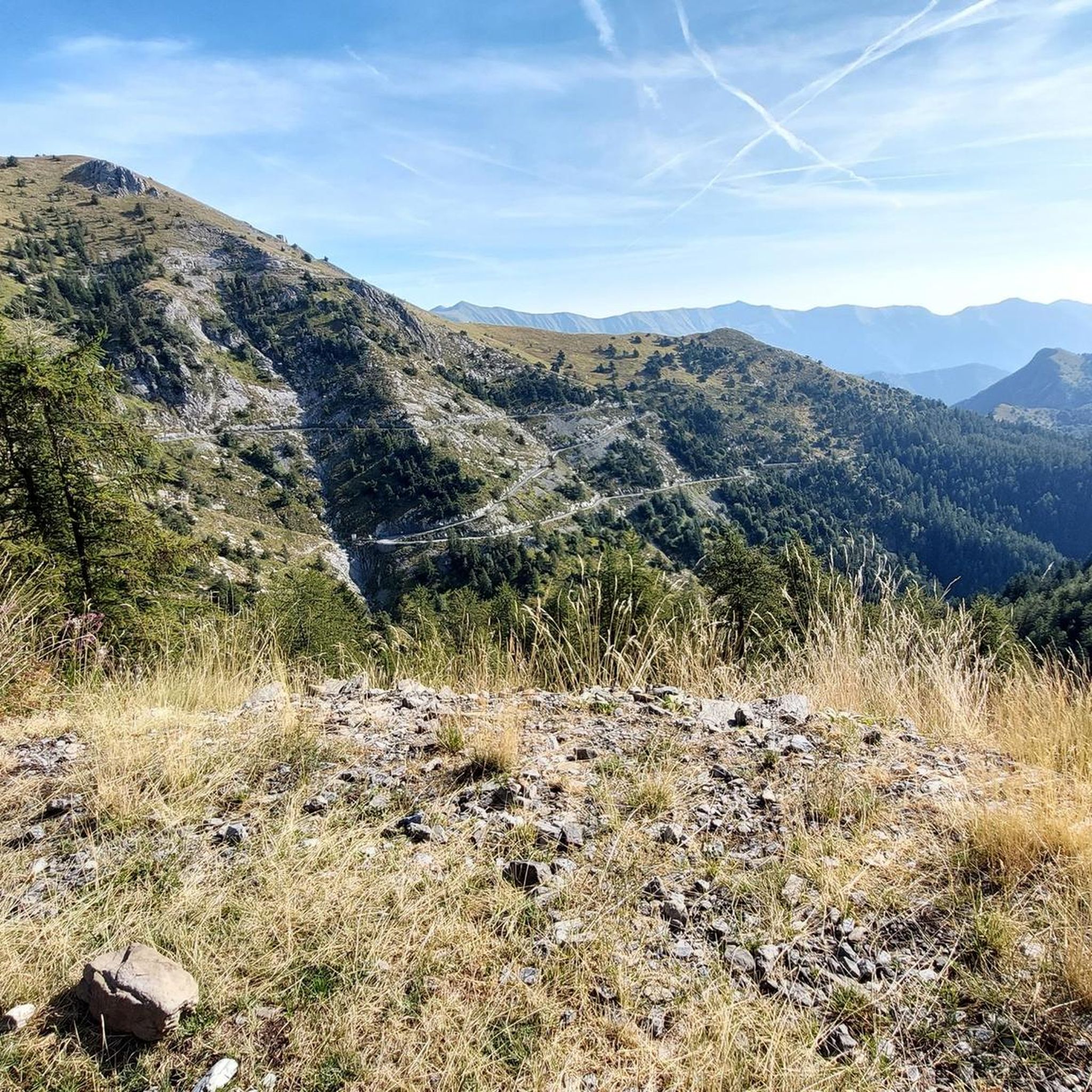
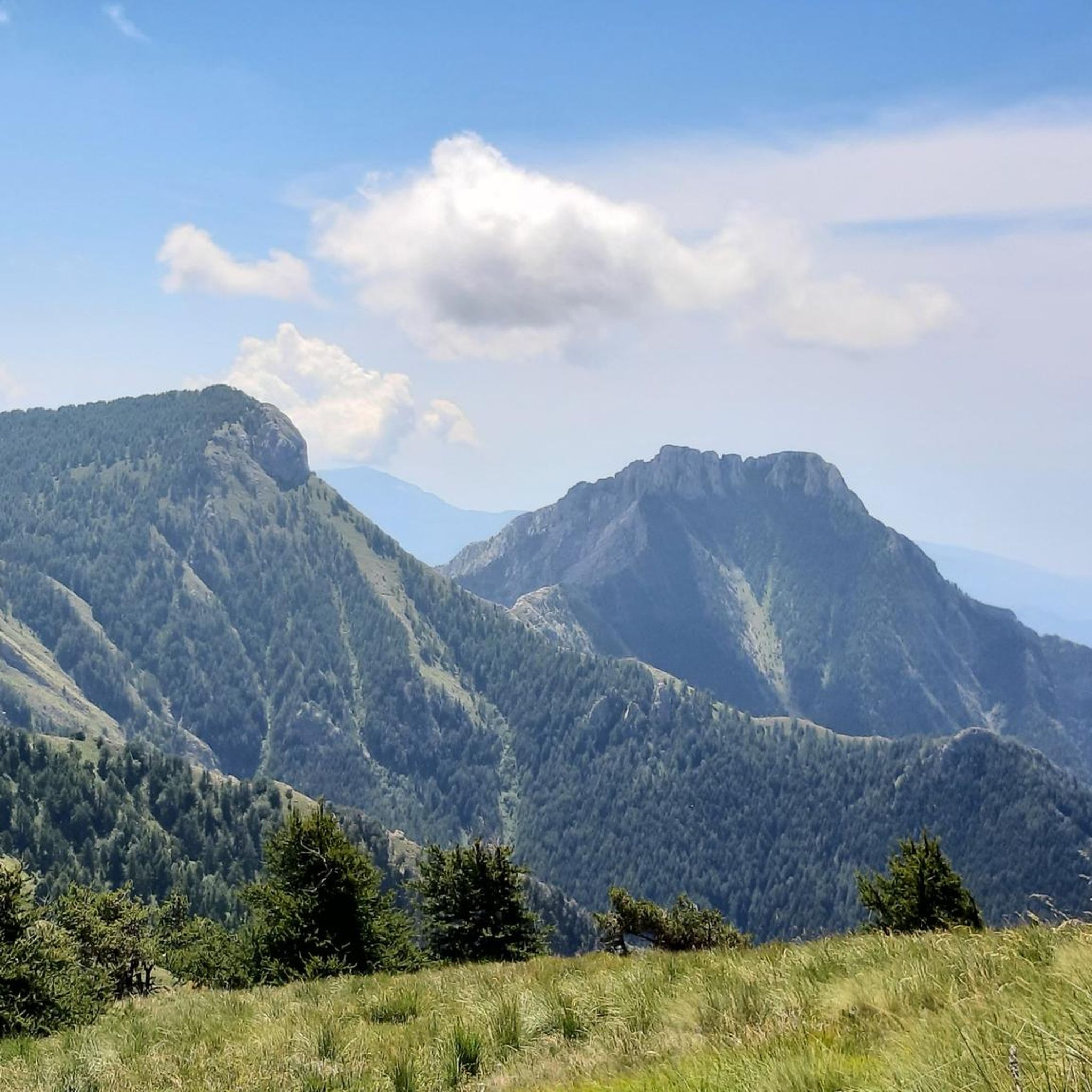
Jogging routes around Lake Tenarda are situated in a mountainous region, characterized by rugged peaks and significant elevation changes. The landscape features high mountain terrain, including peaks like Monte Toraggio (1972 m) and Monte Grai, which offer challenging running conditions. The area is part of the Ligurian Alps, known for its dramatic topography and natural features.
Best jogging routes around Lake Tenarda
- The most popular jogging route is Monte Toraggio (1972 m) loop from Mont Peïrevieille / Monte Pietravecchia,…
Last updated: July 9, 2026
25
runners
Hard run. Very good fitness required. Sure-footedness, sturdy shoes and alpine experience required.
5.0
(1)
17
runners
17.8km
02:25
690m
690m
Hard run. Very good fitness required. Sure-footedness, sturdy shoes and alpine experience required.

Sign up for free
5.0
(1)
11
runners
Hard run. Very good fitness required. Sure-footedness, sturdy shoes and alpine experience required.
5
runners
Hard run. Very good fitness required. Sure-footedness, sturdy shoes and alpine experience required.
19
runners
24.3km
04:32
1,590m
1,590m
Hard run. Very good fitness required. Sure-footedness, sturdy shoes and alpine experience required.
Get access to more routes and recommendations from other explorers.
Sign up for free
Already have an account?
Our route recommendations are based on thousands of hikes, rides, and runs completed by other people on komoot.
Start today with a free account
Your next adventure awaits.
Login or Signup
Tips from the Community

bellissimo corner of the Ligurian Alps, ideal in late spring and autumn
0
0

Beautiful panoramic summit, with views ranging from the sea to the Ligurian Alps, passing through the Marguareis-Mongioie chain.
0
0
Refuge-hotel located in a very panoramic position
0
0

Dreamlike landscape and hardly any people
0
0

The Barcone Battery, also known as the 605th S.P. Battery (Sempre Pronta, "Always Ready"), consists of four artillery casemates connected to a transverse service tunnel, at either end of which are two entrance corridors. Tip for visiting the Balcone di Marta fort: The entrance to the fort is a last-minute sight, so bring a powerful, but especially long-lasting, flashlight. The fort is large, and there are 132 steps to descend to reach the batteries. It takes about an hour to tour it. However, don't risk getting lost. A map of the fort can be found here: http://valloalpino.altervista.org/bunker/mroj/bdm/bdm1-000.htm Entrance is through the infantry entrance; the other has collapsed.
0
0
only a few meters long, not at all dangerous, bike in hand.
1
0

🗺️ A legendary itinerary that takes you into the wild heart of the Ligurian Alps. You'll walk suspended between sky and rocks, along a military path carved into the mountain during the war. 😲⛰️ 🔹 Tip: Start early in the morning and bring a sweatshirt: even in summer, the air up here is crisp! 🧥☀️ When you reach the summit, stop in silence and listen to the wind... the view will take your breath away: sea, mountains, wild valleys, and, if you're lucky, chamois roaming free! 🦌🌄
0
0

Frequently Asked Questions
How many running routes are available around Lake Tenarda?
There are over 10 dedicated running routes available around Lake Tenarda, all of which are categorized as difficult due to the challenging mountain terrain and significant elevation changes.
What is the general difficulty level of running trails in the Lake Tenarda area?
The running trails around Lake Tenarda are primarily designed for experienced runners seeking difficult routes. They feature rugged peaks, substantial elevation gains, and high mountain terrain characteristic of the Ligurian Alps. For example, the Monte Toraggio (1972 m) loop from Mont Peïrevieille / Monte Pietravecchia involves an ascent of over 900 meters.
Are there any easy or beginner-friendly running routes around Lake Tenarda?
No, the Lake Tenarda region does not offer easy or moderate running routes. All 12 available routes are classified as difficult, featuring significant elevation changes and challenging mountain landscapes. The area is best suited for experienced runners.
What kind of terrain can I expect on the jogging routes in the Ligurian Alps near Lake Tenarda?
You can expect high mountain terrain with rugged peaks and dramatic topography. The routes often involve challenging ascents and descents, leading through landscapes with peaks like Monte Toraggio and Monte Grai. The trails are part of the Ligurian Alps, known for their demanding natural features.
Are there any notable viewpoints or landmarks along the running trails near Lake Tenarda?
Yes, many routes offer panoramic views of the Ligurian Alps. Trails often lead to prominent peaks such as Monte Toraggio and Monte Grai. The Monte Grai Hut – Marta's Balcony loop from Mont Peïrevieille / Monte Pietravecchia, for instance, provides stunning mountainous landscapes.
Can I find circular running routes around Lake Tenarda?
Yes, several running routes in the area are circular. Examples include the Monte Toraggio (1972 m) loop from Mont Peïrevieille / Monte Pietravecchia and the Trail to Monte Grai – Monte Grai Hut loop from Colla Melosa, allowing you to start and end at the same point.
What is the best time of year to go running around Lake Tenarda?
Given the high mountain environment of Lake Tenarda in the Ligurian Alps, the best time for running is typically during the warmer months, from late spring to early autumn. Winter conditions can be severe, with snow and ice making many trails inaccessible or extremely challenging.
Are the running trails around Lake Tenarda suitable for families?
Due to the difficult nature of all routes, characterized by significant elevation gain and rugged mountain terrain, the running trails around Lake Tenarda are generally not suitable for families with young children or those seeking easy, leisurely jogs.
Are dogs allowed on the running trails in the Lake Tenarda region?
While specific regulations for dogs on trails can vary, it's generally advisable to keep dogs on a leash in mountainous areas, especially within natural parks like the Ligurian Alps, to protect wildlife and ensure safety on challenging terrain. Always check local signage.
What do other runners enjoy the most about jogging in Lake Tenarda?
The running routes in Lake Tenarda are highly rated by the komoot community, with an average score of 5.0 stars. Runners often praise the challenging ascents, the high mountain scenery, and the panoramic views offered by trails like those leading to Monte Toraggio and Monte Grai.
Are there any cafes or amenities near the running routes in Lake Tenarda?
The Lake Tenarda region is a high mountain area, so amenities like cafes and restaurants are sparse directly along the trails. You might find basic facilities or mountain huts at specific points, such as the Monte Grai Hut mentioned in routes like the Trail to Monte Grai – Monte Grai Hut loop from Colla Melosa. It's best to carry your own supplies.
What are some of the longest running routes in the Lake Tenarda area?
Among the longer and more challenging routes is the Tanarello Pass – Beautiful Picnic Spot loop from Realdo, which spans over 21 kilometers and involves a substantial elevation gain of more than 1400 meters. Another significant option is the Monte Grai Hut – Marta's Balcony loop from Mont Peïrevieille / Monte Pietravecchia, covering 22.5 kilometers.
Most popular routes around Lake Tenarda

Get inspired with the komoot mobile app


Explore more
Browse the best Running Trails & Routes in other regions.
