The best running trails around Lake Agnel
4.9
(15)
839
runners
21
runs
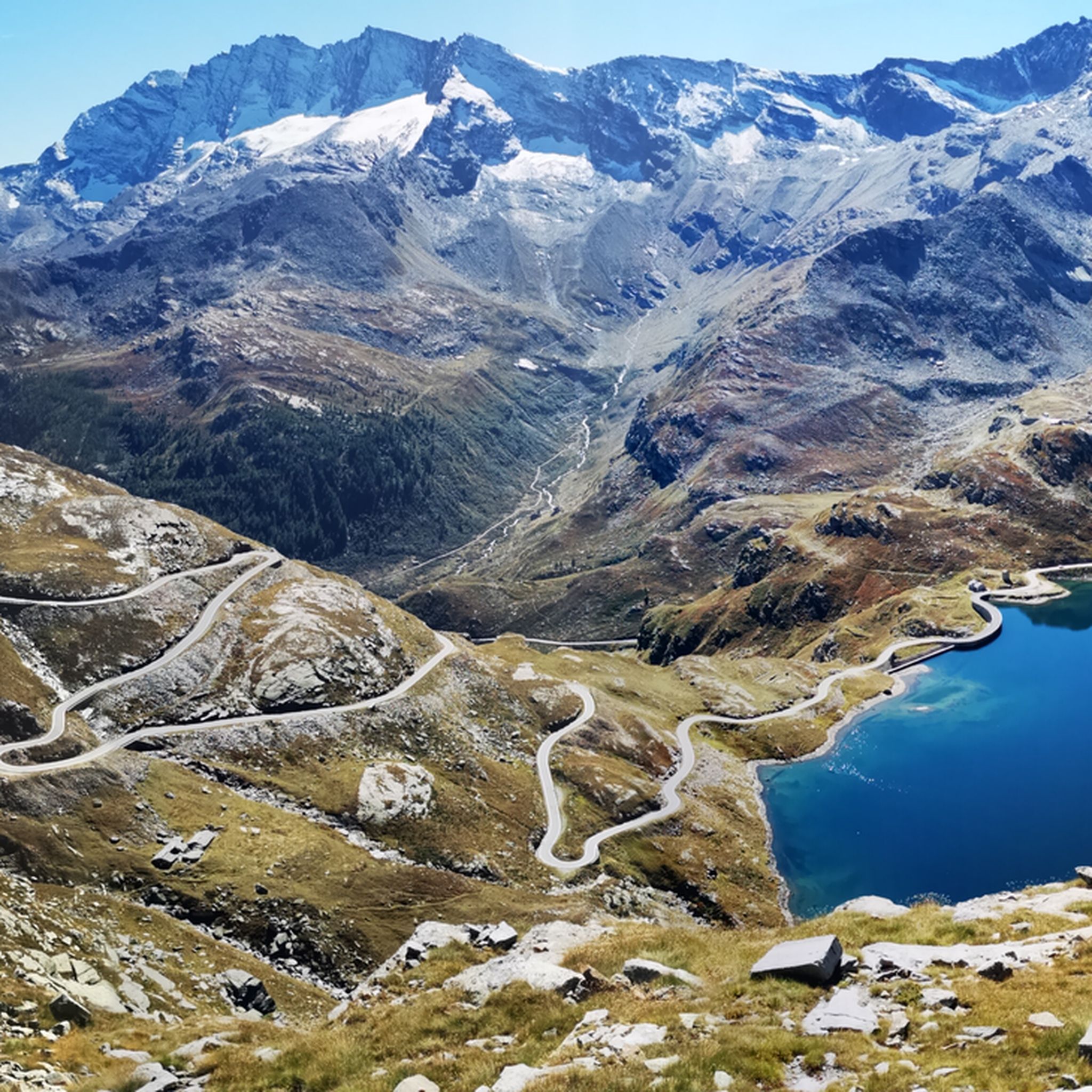
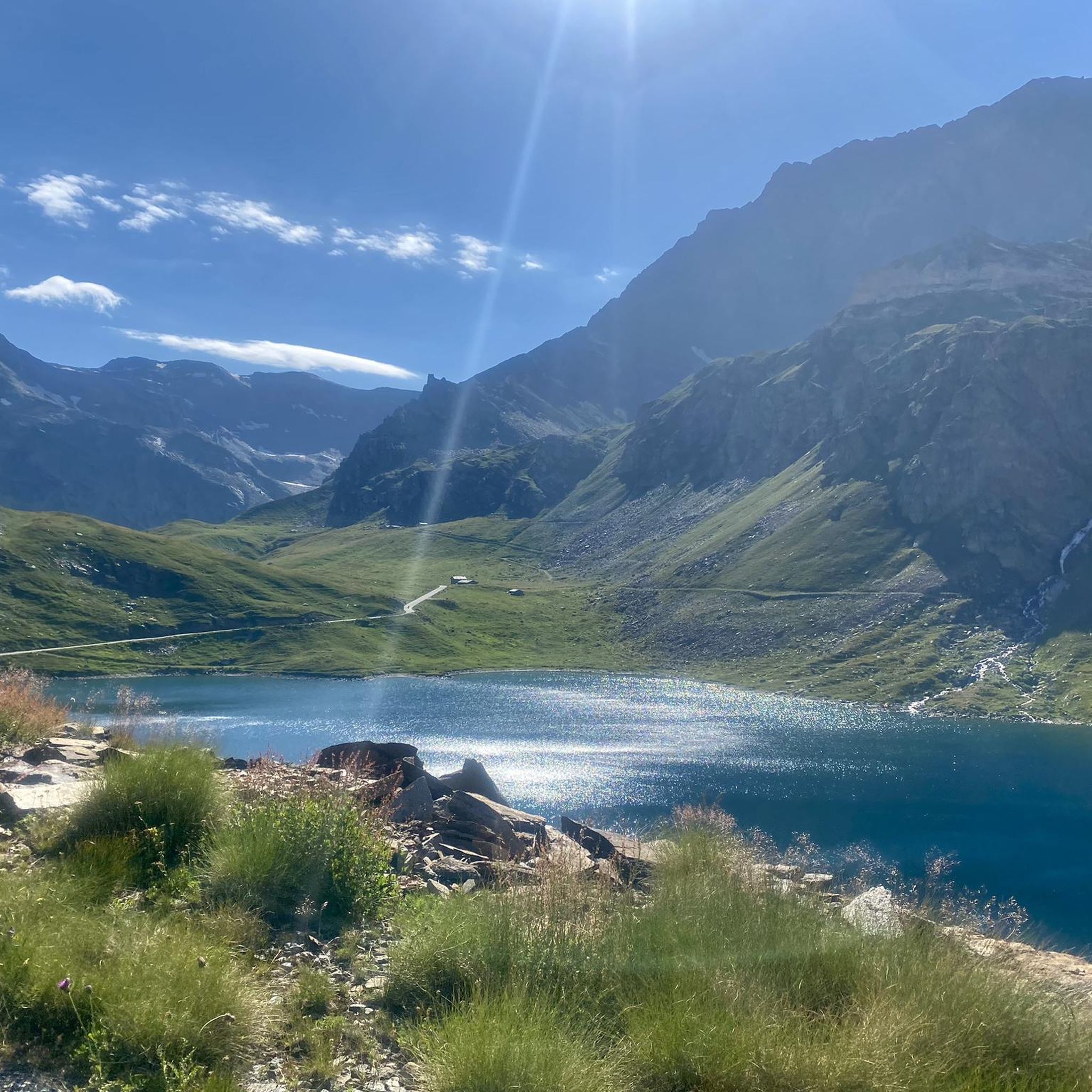
Jogging routes around Lake Agnel are situated in the high-altitude Gran Paradiso National Park, characterized by the dramatic Graian Alps. The terrain features intense blue glacial lakes, vibrant green alpine meadows, and rugged rocky habitats at higher altitudes. This region offers diverse environments, from forests of larch and spruce in the valley floors to expansive alpine pastures, well-suited for trail running due to its varied and often challenging nature.
Best jogging routes around Lake Agnel
- The most popular jogging route…
Last updated: July 15, 2026
9
runners
11.5km
01:33
490m
480m
Hard run. Very good fitness required. Sure-footedness, sturdy shoes and alpine experience required.
14
runners
19.3km
03:38
1,020m
1,020m
Hard run. Very good fitness required. Sure-footedness, sturdy shoes and alpine experience required.

Sign up for free
4
runners
4.41km
00:37
120m
120m
Hard run. Good fitness required. Sure-footedness, sturdy shoes and alpine experience required.
35
runners
16.1km
03:28
920m
920m
Embark on the Taou Blanc and Nivolet Lakes Trail, a challenging jogging route that spans 10.0 miles (16.1 km) with a significant elevation gain of 3020 feet (920 metres). This…
18
runners
10.4km
01:20
470m
470m
Hard run. Very good fitness required. Sure-footedness, sturdy shoes and alpine experience required.
Get access to more routes and recommendations from other explorers.
Sign up for free
Already have an account?
Our route recommendations are based on thousands of hikes, rides, and runs completed by other people on komoot.
Start today with a free account
Your next adventure awaits.
Login or Signup

Tips from the Community

Rifugio Savoia is located at an altitude of 2,534 meters on the picturesque Nivolet plateau, right in the heart of the Gran Paradiso National Park. Born from the renovation of a historic hunting lodge of King Vittorio Emanuele II dating back to 1860, today it offers 40 beds and a welcoming kitchen with typical dishes of the Aosta Valley tradition.
0
0

The last village in the valley surrounded by green alpine meadows
1
0

I cannot recommend the path either up or down by bike, pure carrying. It is better to take the 1-hour detour by car to get directly to Rifugio Savoia. From there you can ride up comfortably. Otherwise, if you start from this side, go up via the tunnel instead of this path.
2
0


Worthy facts and also a tour of the dam in Ceresole Reale
0
0

This mountain river flows through the Vallone del Dora del Nivolet.
1
0

Magnificent (and only) traverse from North to South in Gran Paradiso National Park. From the end of Valsavaranche, near the village of Pont Breuil (and beautiful Rifugio Tetras Lyre), a steep mountain path (30-40%) starts from 1900m to 2350m and Croce dell' Arolley. The fastest way is to climb with the bike on your shoulder. After about 3.5 km of climbing, you reach a plateau where you can cycle reasonably well with a gravel bike (and luggage). MTBs with suspension can start earlier. After about 8.5 km you reach the Colle del Nivolet. Then a spectacular descent over more than 50 km.
2
1
Frequently Asked Questions
What is the general difficulty level of running routes around Lake Agnel?
The running routes around Lake Agnel are predominantly challenging, reflecting the high-altitude and rugged terrain of the Gran Paradiso National Park. Out of 16 available routes, 15 are rated as difficult, with only one moderate option. Runners should expect significant elevation changes and varied surfaces.
What kind of terrain will I encounter on the running trails near Lake Agnel?
You can expect a diverse and often demanding terrain. Routes traverse intense blue glacial lakes, vibrant green alpine meadows, and rugged rocky habitats at higher altitudes. Lower sections may lead through forests of larch, spruce, and Swiss stone pine, while higher trails feature narrow, steep paths and alpine grasslands. It's ideal for trail running enthusiasts.
Are there any running routes that are suitable for families or beginners?
Given the challenging nature of the terrain, most routes around Lake Agnel are better suited for experienced runners. There is only one route rated as moderate among the 16 available. Families or beginners looking for easier options might find the high-altitude environment and significant elevation changes demanding.
What natural landmarks or viewpoints can I expect to see along the running routes?
The area is rich in breathtaking natural beauty. You'll encounter dramatic views of the Graian Alps, numerous glacial lakes, and expansive alpine meadows. The Nivolet Pass itself is renowned for its vistas. Keep an eye out for wildlife such as ibex, chamois, marmots, and golden eagles. Some routes, like the View of Lago del Serrù – Nivolet Lakes loop from Ceresole Reale, offer stunning views of glacial lakes.
Are there any circular running routes available?
Yes, several routes around Lake Agnel are designed as loops, allowing you to start and finish at the same point. Examples include the View of Lago del Serrù – Nivolet Lakes loop from Ceresole Reale and the Rifugio Savoia – Nivolet Lakes loop from Colle del Nivolet, which offers a challenging high-altitude experience.
What do other runners say about the trails around Lake Agnel?
The running trails around Lake Agnel are highly regarded by the komoot community, boasting an average rating of 4.9 out of 5 stars from over 15 reviews. More than 800 runners have used komoot to explore this area, often praising the stunning alpine scenery, the challenge of the high-altitude terrain, and the immersive experience in the Gran Paradiso National Park.
Are there any amenities like mountain refuges along the running paths?
Yes, along the Nivolet Pass, which many routes traverse or are near, you can find mountain refuges such as Rifugio Città di Chivasso and Rifugio Savoia. These offer places to rest, refuel, and enjoy the alpine environment, which can be particularly welcome on longer or more challenging runs.
What is the best season for running in the Lake Agnel area?
The scenic road leading to Colle del Nivolet, and thus many of the higher-altitude trails, is typically accessible during the summer months. This is generally the best time for running, as the snow has melted, and conditions are most favorable. Outside of summer, especially in winter, conditions can be very challenging due to snow and ice.
Can I bring my dog on the running routes around Lake Agnel?
The Lake Agnel area is part of the Gran Paradiso National Park. While dogs are generally allowed in certain areas of national parks, there are often specific rules regarding leashes and restricted zones to protect wildlife. It's advisable to check the current regulations of the Gran Paradiso National Park regarding dogs on trails before planning your run.
Are there any routes that are particularly long or challenging for experienced trail runners?
Absolutely. For experienced trail runners seeking a significant challenge, routes like the Rifugio Savoia – Nivolet Lakes loop from Colle del Nivolet, at 11.9 miles (19.2 km) with over 1000 meters of elevation gain, offer a demanding high-altitude experience. Another option is the Taou Blanc and Nivolet Lakes Trail, which is 10.0 miles (16.1 km) and leads through rugged paths and alpine grasslands.
How long do the running trails around Lake Agnel typically take to complete?
The duration varies significantly based on the route's length and difficulty, as well as your fitness level. For example, the View of Lago del Serrù – Nivolet Lakes loop from Ceresole Reale, an 8.7-mile (14.0 km) trail, typically takes around 1 hour 52 minutes. More challenging and longer routes, such as the Taou Blanc and Nivolet Lakes Trail (10.0 miles), can take approximately 3 hours 27 minutes or more.
Are there options for parking or public transport to access the running routes?
While specific parking details for each trailhead are not provided, the Nivolet Pass, a key access point for many routes, is accessible by road during summer months, suggesting parking is available. For public transport, access to such high-altitude national park areas can be limited, so it's recommended to research local bus services or shuttle options to the Gran Paradiso National Park or specific starting points like Ceresole Reale or Colle del Nivolet.
Most popular routes around Lake Agnel

Get inspired with the komoot mobile app


Explore more
Browse the best Running Trails & Routes in other regions.
