The best walks and hikes around Lake Larecchio
4.5
(769)
3,686
hikers
113
hikes
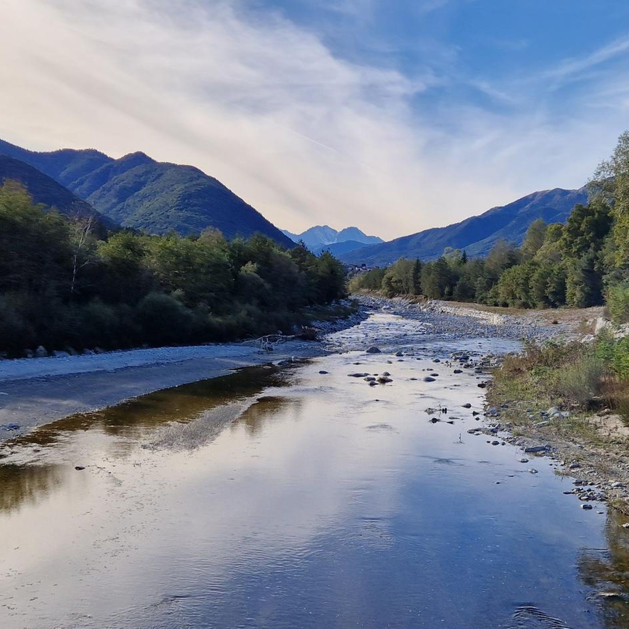
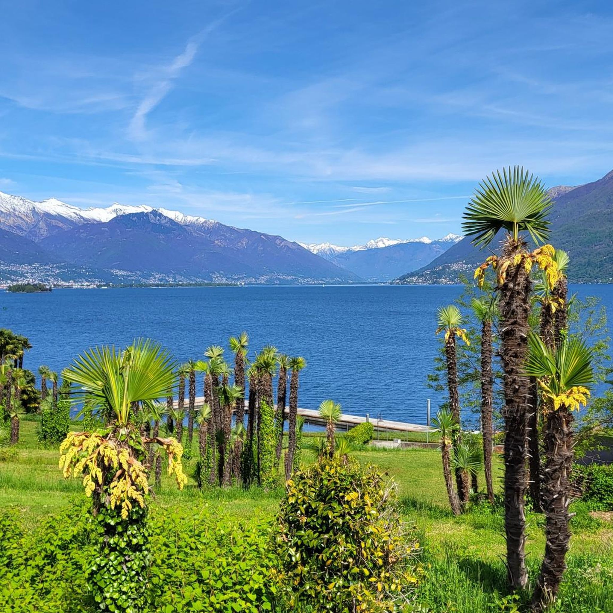
Hiking around Lake Larecchio offers a diverse landscape characterized by alpine meadows, dense forests, and rocky mountain paths. The region, situated in Verbano-Cusio-Ossola, features varied terrain with significant elevation changes, providing routes that traverse both valleys and higher mountain passes. This area is defined by its natural beauty and the presence of the lake itself, influencing many of the surrounding trails.
Best hiking trails around Lake Larecchio
- The most popular hiking route is Alpine climb to Forcola di Larecchio (via…
Last updated: July 4, 2026
8.07km
03:41
510m
510m
Alpine climb through Piedmont's marked trails to Forcola di Larecchio pass with sweeping valley views.
5.0
(1)
2
hikers
7.70km
03:38
650m
650m
Hike the moderate 4.8-mile Ponte Faugiol - Cappella della Croce Trail (L03) in Piedmont, gaining 2139 feet with mountain vistas.

Sign up for free
1
hikers
8.73km
05:33
990m
990m
Hike the difficult M17: Coier - Passo Campeia Trail in Val Grande National Park, gaining 3261 feet over 5.4 miles to Passo Campeia.
4.3
(7)
36
hikers
6.45km
05:01
1,060m
1,060m
Forest paths lead to ridge-top views across the Lepontine Alps from distinctive Pioda di Crana summit.
5.0
(3)
26
hikers
11.6km
07:27
1,390m
1,390m
Unusual descent-first hike to Val Vigezzo's highest peak via alpine meadows and unmanned refuge.
Get access to more routes and recommendations from other explorers.
Sign up for free
Already have an account?
Our route recommendations are based on thousands of hikes, rides, and runs completed by other people on komoot.
Start today with a free account
Your next adventure awaits.
Login or Signup
Tips from the Community

Dangerous pass. Not recommended. Extremely surefooted. We came from Alpe Forgnone and had to climb the pass to the left of the original trail because the path is impassable due to scree.
0
0

Pasture in the Isorno Valley at an altitude of 2060m above sea level
0
0
Pasture in the Isorno Valley at an altitude of 1600m above sea level
0
0
Frequently Asked Questions
How many hiking trails are available around Lake Larecchio?
There are over 100 hiking trails around Lake Larecchio, offering a wide range of options for all skill levels. Specifically, you'll find 32 easy routes, 46 moderate routes, and 39 difficult routes to explore.
Are there any easy hikes suitable for beginners near Lake Larecchio?
Yes, Lake Larecchio offers 32 easy hiking routes. These trails are generally shorter and have less elevation gain, making them ideal for beginners or those looking for a relaxed walk. While specific easy routes aren't highlighted in the intro, you can find many suitable options on komoot.
What is the best time of year to go hiking around Lake Larecchio?
The best time to hike around Lake Larecchio is typically from late spring through early autumn (May to October). During these months, the weather is generally mild, trails are clear of snow, and the alpine meadows are vibrant. Winter hiking is possible but requires appropriate gear and experience due to snow and ice conditions.
Are there any circular hiking routes around Lake Larecchio?
Many trails in the Lake Larecchio region are designed as circular routes, allowing you to start and end at the same point without retracing your steps. While specific circular routes aren't detailed here, komoot's route planner can help you discover and filter for these types of tours.
What kind of terrain can I expect on the hiking trails?
The terrain around Lake Larecchio is diverse, featuring alpine meadows, dense forests, and rocky mountain paths. You can expect significant elevation changes, with routes traversing both valleys and higher mountain passes, offering varied challenges and scenic views.
What do other hikers enjoy most about the trails in Lake Larecchio?
The trails around Lake Larecchio are highly rated by the komoot community, with an average score of 4.6 stars from over 700 reviews. Hikers often praise the region's natural beauty, the diverse landscape, and the well-maintained paths that lead through alpine terrain and offer scenic views.
Are there any challenging hikes for experienced hikers?
Yes, for experienced hikers seeking a challenge, Lake Larecchio offers 39 difficult routes. An example is the Pizzo la Scheggia Summit Trail from Arvogno, which covers 7.2 miles (11.6 km) with significant elevation gain, taking approximately 7 hours 27 minutes to complete.
Can I reach the Lake Larecchio trails using public transport?
While specific public transport options directly to every trailhead may vary, the region of Verbano-Cusio-Ossola generally has some bus services connecting towns. It's advisable to check local bus schedules for routes serving the villages closest to your chosen trailhead before planning your trip.
Where can I find parking for hiking trails around Lake Larecchio?
Parking availability varies by trailhead. Many popular starting points for hikes, especially near villages or access roads, will have designated parking areas. It's recommended to check the specific route details on komoot for information on parking at or near the trailhead you plan to use.
Are there any routes that pass by a chapel or other notable landmarks?
Yes, some routes offer cultural or historical points of interest. For instance, the Ponte Faugiol - Cappella della Croce Trail (L03) is a moderate path that includes significant elevation gain and passes by a chapel, offering scenic views and a point of interest along the way.
What should I wear for hiking in the Lake Larecchio area?
Given the diverse terrain and potential for elevation changes, it's recommended to wear sturdy hiking boots, layered clothing suitable for varying weather conditions, and to carry rain gear. Sun protection, sufficient water, and snacks are also essential for a comfortable and safe hike.
Are there any hikes that lead to a summit with panoramic views?
Absolutely. The Lake Larecchio region offers several summit trails for breathtaking panoramic views. A challenging option is the Pioda di Crana Summit Trail from Alpe Verzasca (M19), which involves a significant ascent to a high point.
Most popular routes around Lake Larecchio

Get inspired with the komoot mobile app


Explore more
Browse the best Hikes in other regions.
