The best road cycling routes around Stausee Mattmark
4.9
(9)
353
riders
7
rides
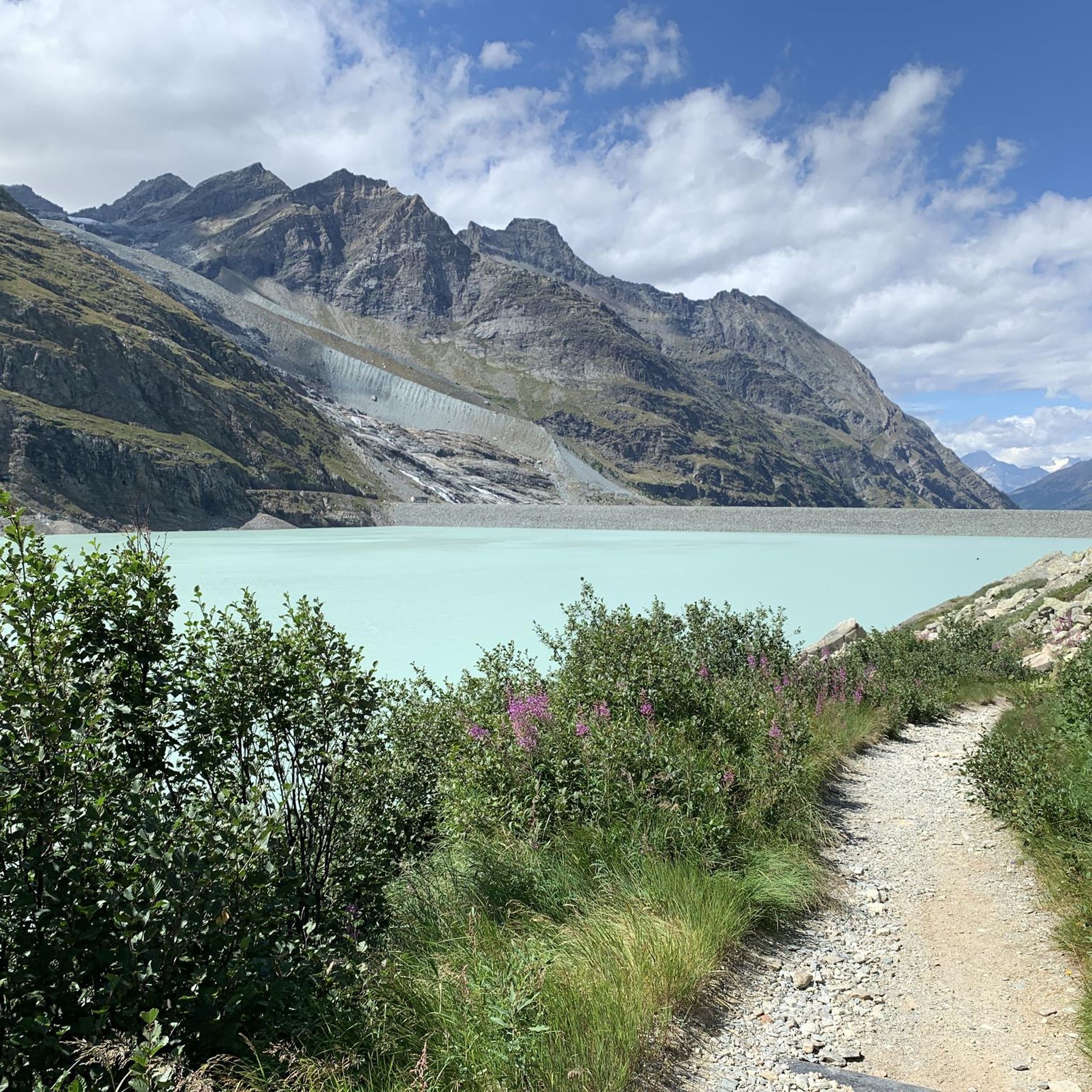
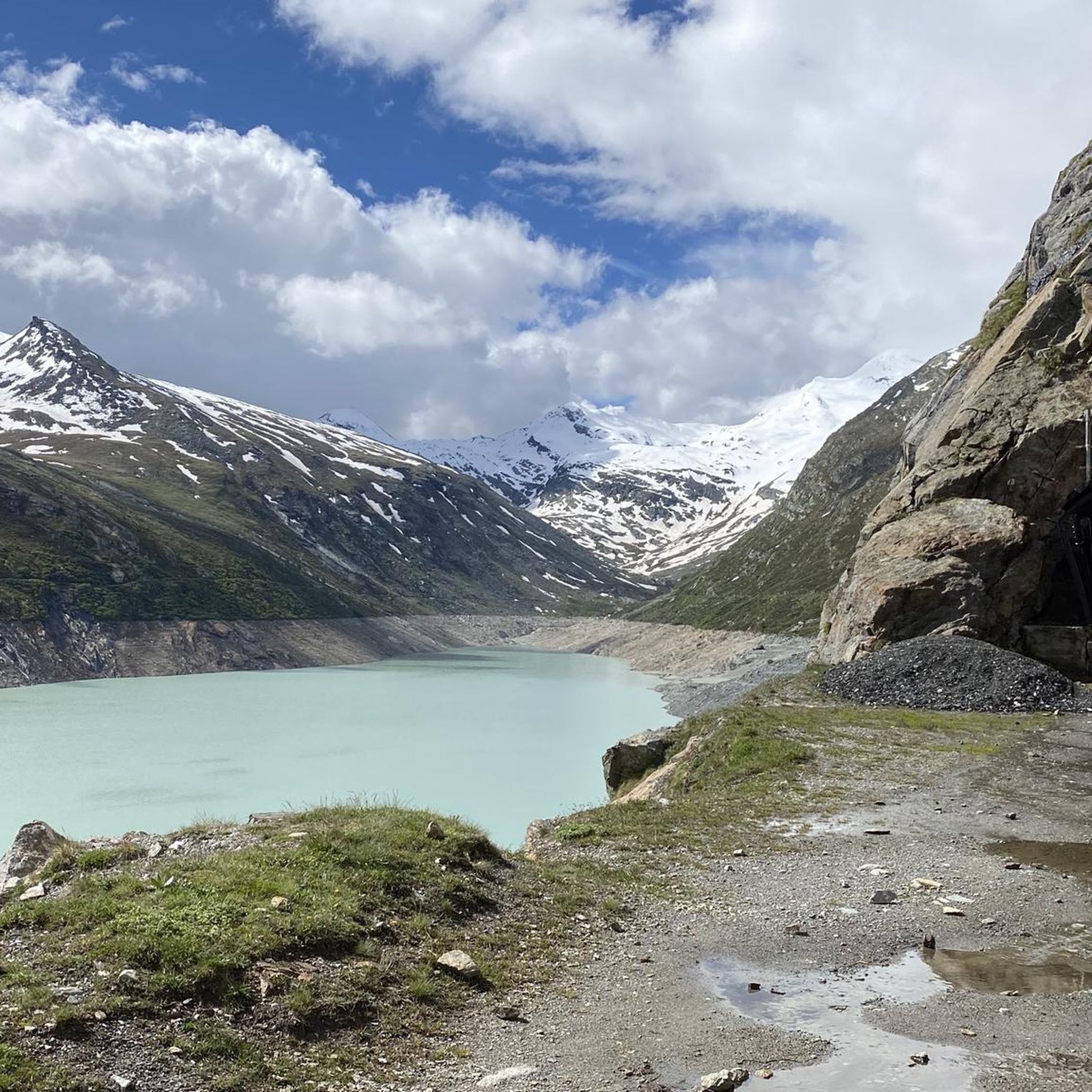
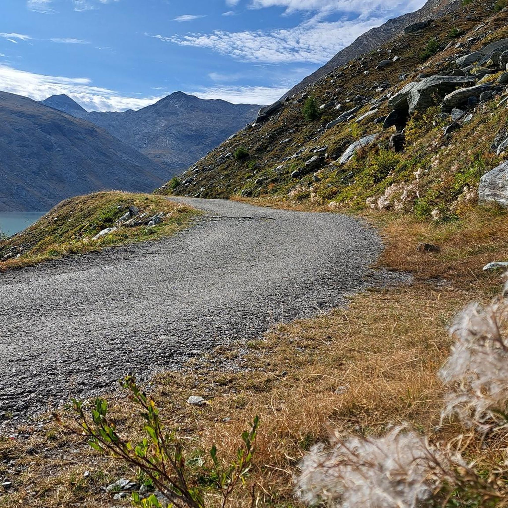
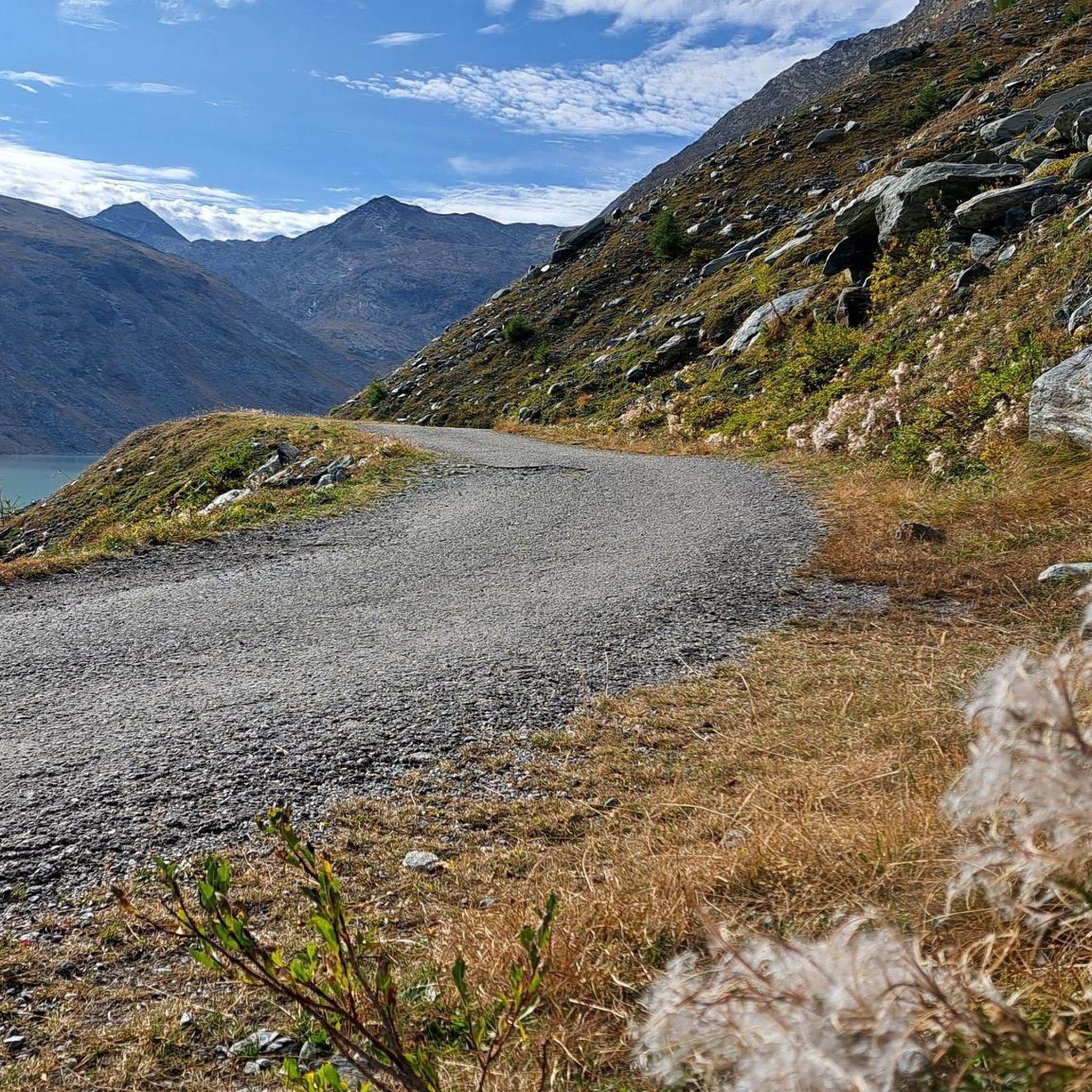
Road cycling routes around Stausee Mattmark are characterized by high alpine landscapes, glacial peaks, and the expansive Mattmarksee reservoir. The region features challenging ascents and serene lakeside paths, offering varied terrain for road cyclists. The impressive Mattmark Dam, Europe's largest earth dam, is a prominent landmark within this environment. Routes often provide views of surrounding mountains like the Strahlhorn and lead through valleys with lush greenery.
Best road cycling routes around Stausee Mattmark
- The most popular road cycling route is…
Last updated: July 4, 2026
15
riders
14.7km
01:02
530m
520m
Moderate road ride. Good fitness required. Mostly well-paved surfaces and easy to ride.
5
riders
17.2km
00:49
220m
220m
Easy road ride. Great for any fitness level. Mostly well-paved surfaces and easy to ride.

Sign up for free
5.0
(2)
84
riders
79.1km
04:06
1,310m
1,310m
Hard road ride. Very good fitness required. Some segments of this route may be unpaved and difficult to ride.
4.7
(3)
60
riders
82.9km
04:18
1,410m
1,410m
Hard road ride. Very good fitness required. Mostly well-paved surfaces and easy to ride.
56
riders
42.7km
02:32
1,070m
1,070m
Hard road ride. Very good fitness required. Mostly well-paved surfaces and easy to ride.
Get access to more routes and recommendations from other explorers.
Sign up for free
Already have an account?
Our route recommendations are based on thousands of hikes, rides, and runs completed by other people on komoot.
Start today with a free account
Your next adventure awaits.
Login or Signup
Popular around Stausee Mattmark


Tips from the Community

The Zermeiggern Chapel also serves as a memorial site where those who died in the Mattmark disaster are commemorated.
9
0
From here you have a great view towards Mattmark and there is a very nice playground.
8
0

Saas-Balen is the perfect starting point for peaceful tours away from the crowds. This charming village boasts authentic Valais architecture and is close to beautiful hiking and biking trails. Be sure to sample local specialties in one of the cozy inns – this way, you'll also get to know the region through its culinary side.
2
0

From Saas-Fee via Saas-Grund to the dam, the road is easily accessible for any bicycle.
0
0

The city of Roman origin lies on the Toce in the center of the Val Ossolane (Ossola Valley) on the route from the Simplon Pass to Lake Maggiore, in a valley widening into which various side valleys flow, on a large alluvial fan that the Bogna, the right tributary of the Toce, has created here. Today, Domodossola has 17,684 inhabitants (as of December 31, 2022). As the (formerly) largest Italian city whose name begins with "D", Domodossola is used in Italian spelling tables for this letter ("D come Domodossola"). Source: https://de.wikipedia.org/wiki/Domodossola In addition to the weekly market on Saturday, the Sacro Monte di Domodossola is particularly worth visiting. It is part of the Sacri Monti. The Sacri Monti in Piedmont and Lombardy have been part of the UNESCO World Heritage Site in northern Italy since 2003. Finally, you should enjoy the Italian flair in the town. In summer, be sure to eat an ice cream or stop off at a café or pizzeria, it's worth it.
3
0

Cozy town with a small old town. Value for money is absolutely fine.
2
0

Beautiful and kept in excellent condition.
27
0
This beautiful river is very important.
25
0
Frequently Asked Questions
How many road cycling routes are available around Stausee Mattmark?
There are 8 road cycling routes available around Stausee Mattmark, offering a variety of experiences from easy loops to challenging mountain ascents. These routes are highly rated by the komoot community.
What kind of terrain can I expect on road cycling routes near Stausee Mattmark?
The terrain around Stausee Mattmark is characterized by high-alpine landscapes, glacial peaks, and the expansive Mattmarksee reservoir. You can expect challenging ascents, particularly towards the Mattmark Dam, and serene lakeside paths. Routes often provide stunning views of surrounding mountains like the Allalinhorn and lead through valleys with lush greenery.
Are there any easy road cycling routes suitable for beginners or families?
Yes, there is an easy road cycling route perfect for those seeking a less strenuous ride. The View of Saas-Grund – Saas-Balen Church loop from Saas-Almagell is a 10.0-mile (16.1 km) path that offers views of the Saas Valley and passes through local villages, requiring only basic fitness.
Are there challenging road cycling routes for experienced cyclists?
Absolutely. For experienced cyclists seeking a significant challenge, there are 5 difficult routes. One notable option is the From Macugnaga to the lower Val d'Ossola, a 49.1-mile (79.1 km) trail leading through alpine valleys and mountain passes, often completed in about 4 hours with over 1300 meters of elevation gain. Another demanding route is the From Macugnaga to Domodossola in the Val d'Ossola, which features over 1400 meters of climbing.
Can I find circular road cycling routes around Stausee Mattmark?
Yes, circular routes are available. A popular moderate option is the Mattmark Reservoir – Final Ascent in Valais loop from Saas-Almagell, which is 9.0 miles (14.5 km) long and features steady climbs towards the dam. This route allows cyclists to fully immerse themselves in the alpine scenery surrounding the lake.
What natural features or landmarks can I see while road cycling around Stausee Mattmark?
While road cycling, you'll encounter impressive natural features and landmarks. The Mattmark Reservoir itself is a highlight, created by Europe's largest earth dam. You can also spot the Waterfall Over Hexagonal Basalt Columns and enjoy the dramatic high-alpine landscape with glacial peaks and majestic four-thousander mountains like the Allalinhorn.
Are there any scenic viewpoints along the road cycling routes?
Yes, the routes offer breathtaking panoramic views. The View of Mattmarksee is a specific highlight, providing stunning vistas of the reservoir and the surrounding glaciers and peaks. The entire region is known for its wild, romantic, and serene atmosphere, with views extending towards the Monte Moro Pass.
What do other road cyclists enjoy most about the routes in Stausee Mattmark?
The road cycling routes around Stausee Mattmark are highly rated by the komoot community, with an average score of 4.8 stars from over 8 reviews. Cyclists often praise the stunning high-alpine landscape, the challenging yet rewarding ascents to the dam, and the diverse routes offering incredible alpine panoramas.
What is the best time of year for road cycling in Stausee Mattmark?
The best time for road cycling in Stausee Mattmark is typically during the warmer months, from late spring to early autumn, when the high-alpine roads are clear of snow and the weather is most favorable. This allows for optimal enjoyment of the challenging ascents and scenic routes.
Is there parking available for road cyclists near the routes?
While specific parking details for each trailhead are best checked on individual route pages, the region around Stausee Mattmark, particularly near Saas-Almagell, generally offers parking facilities for visitors accessing the area's outdoor activities. It's advisable to look for designated parking areas when planning your trip.
How can I reach the road cycling trailheads by public transport?
The Saas Valley, where Stausee Mattmark is located, is well-served by public transport. Buses often connect the main villages like Saas-Almagell to the broader region, making it possible to reach various starting points for road cycling routes. Check local bus schedules for the most current information on reaching specific trailheads.
Most popular routes around Stausee Mattmark
Most popular attractions around Stausee Mattmark

Get inspired with the komoot mobile app


Explore more
Browse the best Road cycling routes in other regions.
