The best road cycling routes around Lake Cava Increa
4.2
(895)
16,141
riders
273
rides
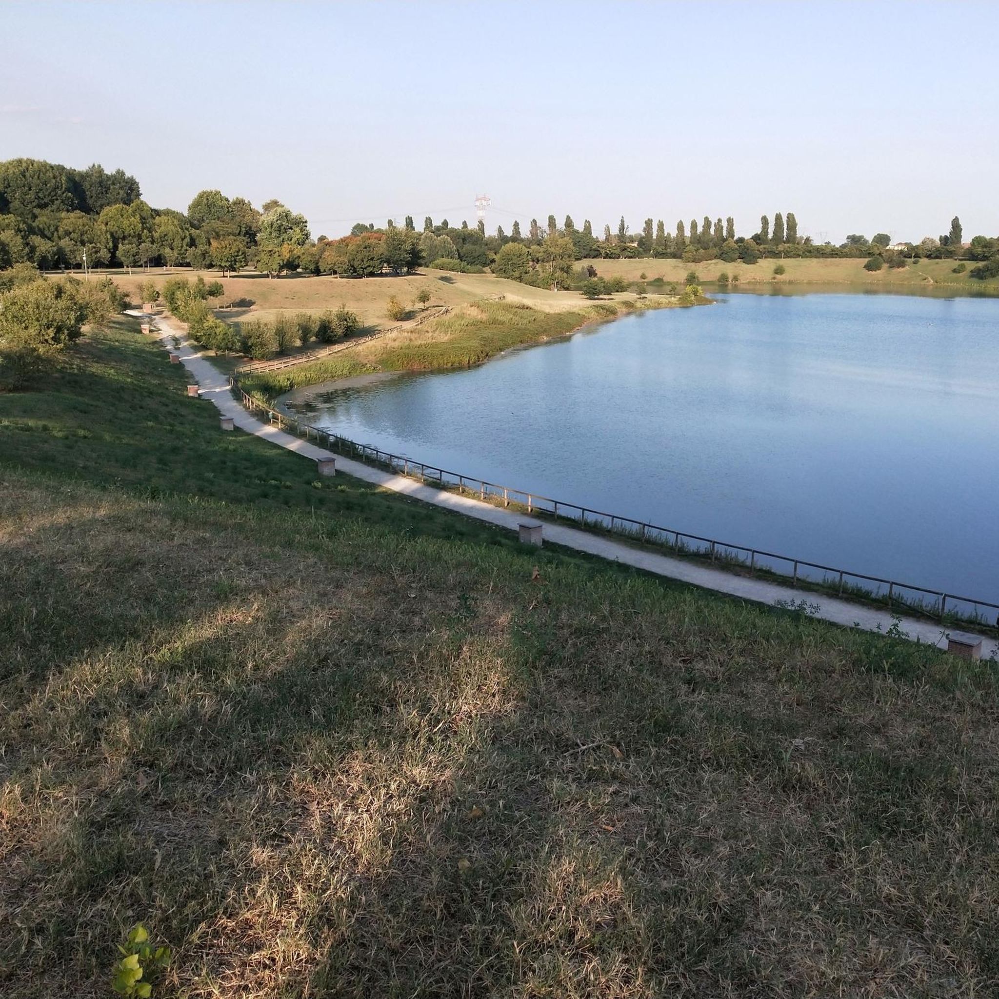
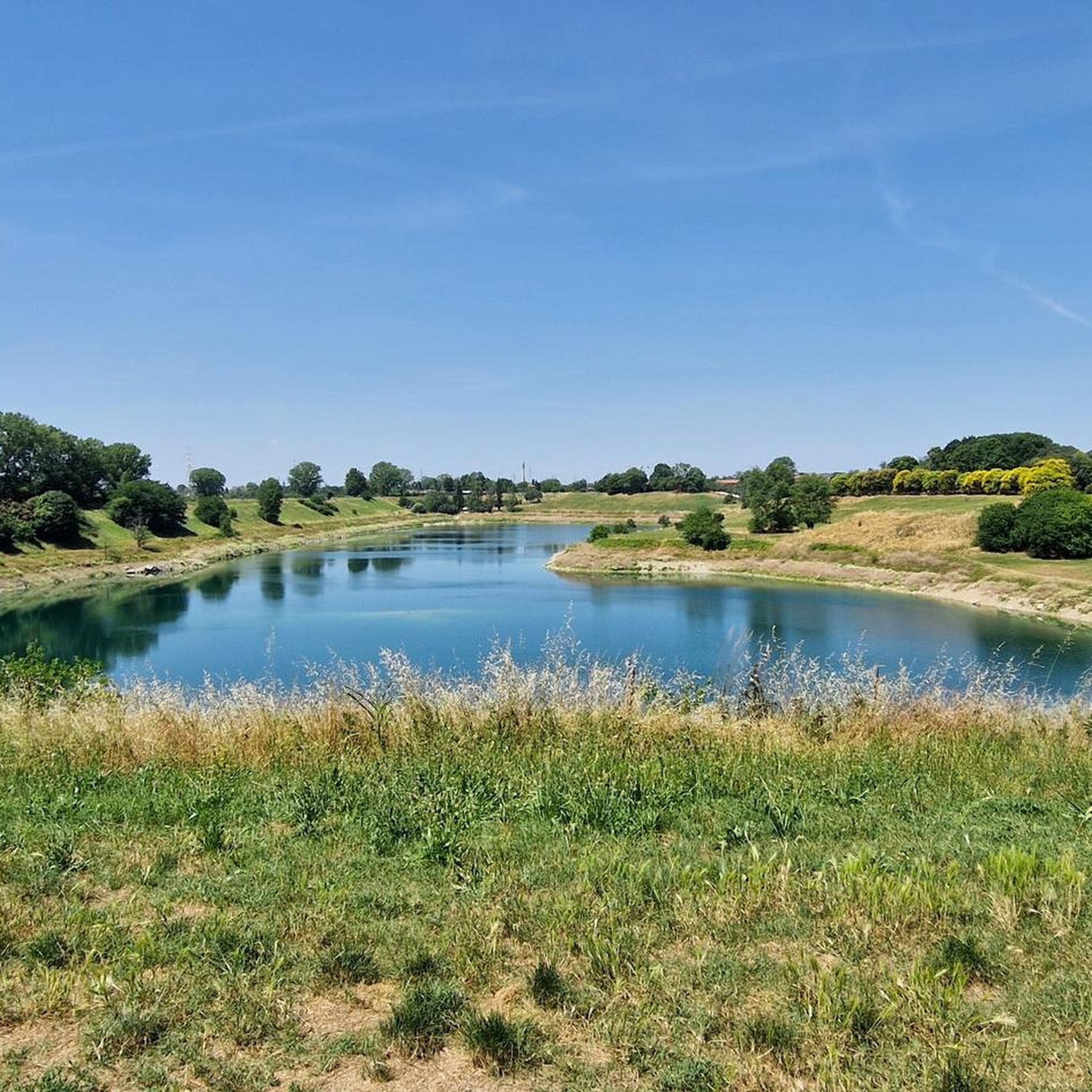
Road cycling routes around Lake Cava Increa are characterized by accessible terrain within an urban green space in Brugherio, Lombardy, Italy. The region features a large artificial lake, a remnant of a former quarry, which serves as a focal point for many routes. Predominantly flat asphalted surfaces make the area suitable for various fitness levels, offering a mix of leisurely rides and longer excursions. The landscape provides a vital green lung within an urban context, with pathways often skirting the…
Last updated: October 1, 2026
4.0
(5)
160
riders
50.7km
02:15
320m
320m
Moderate road ride. Good fitness required. Some segments of this route may be unpaved and difficult to ride.
4.5
(2)
142
riders
124km
06:00
1,630m
1,630m
Hard road ride. Very good fitness required. Mostly well-paved surfaces and easy to ride.

4.5
(6)
79
riders
Moderate road ride. Good fitness required. Mostly well-paved surfaces and easy to ride.
4.0
(2)
46
riders
64.7km
02:47
450m
450m
Moderate road ride. Good fitness required. Mostly well-paved surfaces and easy to ride.
4.0
(2)
19
riders
40.8km
01:37
130m
130m
Easy road ride. Great for any fitness level. Mostly well-paved surfaces and easy to ride.
Get access to more routes and recommendations from other explorers.
Already have an account?
Our route recommendations are based on thousands of hikes, rides, and runs completed by other people on komoot.
Start today with a free account
Your next adventure awaits.


Tips from the Community

The Ponte di San Rocco in Vimercate is the only intact example in Lombardy of a fortified medieval bridge, located at the end of the ancient decumanus (the current Via Cavour). The original structure dates back to Roman times, inserted along the main road axis. It is a "donkey's back" bridge with four arches, 28.50 meters long and about 4.5 meters wide, built of stone with blocks of ceppo and serizzo. In the Middle Ages, it was fortified and transformed into a tower-gate (the only surviving one of the seven original gates of Vimercate's city walls).
0
0
La Strada Vecchia di Asso (also known in its historical extension as Antica Strada Medioevale Milano-Asso) is a charming historical and naturalistic itinerary located in Lombardy, which connects the Brianza plain with the Valassina, ending in the municipality of Asso (Como). Today it is an extremely popular route for hikers, cycling tourism enthusiasts, and mountain bikers.
0
0
The Cascata della Vallategna is a spectacular waterfall of about 30 meters located on the geographical border between the municipalities of Asso and Canzo, in the province of Como. This natural attraction represents a famous symbolic border, as it separates the end of the hilly Brianza from the beginning of the mountainous area of Vallassina.
3
0
The Monticello fountain (located in Monticello Brianza, in the province of Lecco) is one of the most famous and frequented rest and water supply points for cyclists and walkers from all over Brianza and Lombardy.
0
0
The complex of the Church of Saints Peter and Paul and the former Benedictine Monastery of Brugora is a Romanesque jewel from the 12th century located in Montesiro, a hamlet of Besana in Brianza (MB). Founded in 1102, it features a stone facade with valuable sculptures and houses a 16th-century Last Supper inside.
1
0
Church of Santa Maria Nascente e San Carlo, located in the hamlet of Sant'Albino, on the border between the municipalities of Monza and Brugherio. It is located at Via Adda, 46. Although geographically part of Monza's territory, the parish is historically and socially linked to the nearby Brugherio as well. The current structure dates back to the mid-19th century. The facade is characterized by a neoclassical style with a pronaos supported by columns overlooking the main entrance. The church is dedicated to both the Nativity of Mary and Saint Charles Borromeo, a central figure for the Archdiocese of Milan.
1
0
Votive chapels, small religious architectures widespread in rural areas and along paths in Italy. These artifacts are common in Italy and serve as places of popular devotion and historical memory along communication routes.
1
0
The bridge connects the districts of Sant'Albino and San Rocco, crossing viale delle Industrie. It is an infrastructure specifically designed for pedestrians and cyclists, allowing safe crossing of a busy road, previously considered dangerous. It is a metal arch bridge, with access via ramps to be accessible to everyone, including cyclists and people with disabilities. Its construction, completed in 2017, responded to the needs of the residents of the populous Sant'Albino district, improving safety and connection with the rest of the city. However, it remains a structure detached from the territory, with an almost complete lack of both connection to existing cycle paths and pedestrian walkways, and signage.
2
0
Frequently Asked Questions
What is the typical terrain like for road cycling around Lake Cava Increa?
Road cycling routes around Lake Cava Increa are predominantly on asphalted surfaces and feature largely flat terrain. This makes the area highly accessible and suitable for cyclists of all fitness levels, offering a smooth riding experience within an urban green space.
How many road cycling routes are available around Lake Cava Increa?
There are over 270 road cycling routes available around Lake Cava Increa on komoot. These routes cater to various preferences, including easy, moderate, and difficult options.
Are there road cycling routes suitable for beginners or families?
Yes, Lake Cava Increa offers many routes suitable for beginners and families. With over 100 easy routes, the flat, asphalted paths provide a safe and enjoyable environment for less experienced cyclists. For example, the region research mentions routes like the 'Lake Cava Increa – Increa Park loop' as an easy option.
Are there more challenging road cycling routes with significant elevation gain?
While many routes are flat, there are indeed more challenging options. For instance, the Lake Segrino – Lake Segrino loop from Cologno Nord is a difficult 125 km route with substantial elevation changes, offering a significant challenge for experienced road cyclists.
What notable landmarks or attractions can I see along the road cycling routes?
As you cycle around Lake Cava Increa, you can explore several interesting features. The central artificial lake, a remnant of a former quarry, is a focal point. Nearby, you might encounter the historic Cascina Increa, a rare example of Renaissance rural architecture, or unique installations like the 'bird snare' (roccolo) and monumental plane trees within the park.
What do other road cyclists enjoy most about cycling in Lake Cava Increa?
The road cycling experience around Lake Cava Increa is highly rated by the komoot community, with an average score of 4.3 stars from over 800 reviews. Cyclists often praise the accessible terrain, the tranquil urban green spaces, and the variety of routes that cater to different skill levels.
Are there circular road cycling routes around Lake Cava Increa?
Yes, many of the road cycling routes around Lake Cava Increa are designed as loops, allowing you to start and finish at the same point. Examples include the Murals – Centro Torri Bianche loop from Cernusco sul Naviglio and the Gerno Climb – Villa Greppi and Historic Park loop from Cologno Nord.
Is there parking available for cyclists near Lake Cava Increa?
While specific parking facilities are not detailed in the guide data, as an urban park, Lake Cava Increa (Parco Increa) in Brugherio typically offers nearby parking options. It is advisable to check local signage or online maps for designated parking areas close to the park entrances.
Are there cafes or amenities along the road cycling routes?
Yes, within Parco Increa itself, there are amenities such as rest areas and a bar named 'Masnada' which hosts events and provides food. Given its urban setting, you can also expect to find cafes and other services in the surrounding Brugherio area.
What is the best time of year to go road cycling around Lake Cava Increa?
The predominantly flat terrain and urban park setting make Lake Cava Increa suitable for road cycling throughout much of the year. Spring and autumn offer pleasant temperatures, while summer can be enjoyable, especially in the mornings or late afternoons. Winter cycling is also possible, though conditions may vary.
Can I reach Lake Cava Increa by public transport for cycling?
Lake Cava Increa (Parco Increa) is located in Brugherio, Lombardy, Italy, an urban area. Public transport options, such as buses or nearby metro stations (like Cologno Nord, mentioned in some route starting points), are generally available to access the park, making it convenient for cyclists without a car.
Most popular routes around Lake Cava Increa
Most popular attractions around Lake Cava Increa

Get inspired with the komoot mobile app


Explore more
Browse the best Road cycling routes in other regions.
