The best running trails around Lake Ridracoli
3.9
(26)
1,518
runners
92
runs
Jogging routes around Lake Ridracoli are set within the National Park of the Casentino Forests, Monte Falterona, and Campigna, offering a diverse natural environment. The region is characterized by a unique fjord-like lake, winding through about 3 miles (5 km) of woodlands. Dense, UNESCO World Heritage-listed forests and the hills of the Romagna Apennines slope down to the deep blue waters, providing varied terrain for running. The area is fed by the Bidente and Rio Celluzze rivers, contributing to its…
Last updated: July 5, 2026
28
runners
11.1km
01:42
650m
650m
Hard run. Very good fitness required. Sure-footedness, sturdy shoes and alpine experience required.
1.5
(2)
61
runners
36.5km
06:10
1,940m
1,940m
Hard run. Very good fitness required. Sure-footedness, sturdy shoes and alpine experience required.

Sign up for free
5.0
(1)
10
runners
35.5km
05:43
1,750m
1,750m
Hard run. Very good fitness required. Sure-footedness, sturdy shoes and alpine experience required.
3.0
(2)
7
runners
28.4km
04:03
1,140m
1,140m
Hard run. Very good fitness required. Sure-footedness, sturdy shoes and alpine experience required.
5.0
(1)
9
runners
7.90km
01:03
340m
340m
Hard run. Very good fitness required. Sure-footedness, sturdy shoes and alpine experience required.
Get access to more routes and recommendations from other explorers.
Sign up for free
Already have an account?
Our route recommendations are based on thousands of hikes, rides, and runs completed by other people on komoot.
Start today with a free account
Your next adventure awaits.
Login or Signup

Tips from the Community

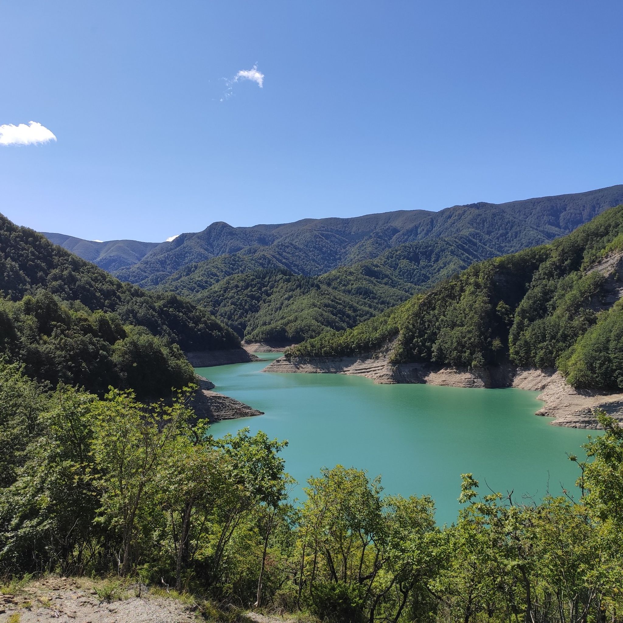
Here the splendor of nature, unaltered over millennia, as in Sasso Fratino, meets the needs of man who, with the collected waters of the Bidente river, after 13 years of studies, created the dam in 1982, intended to quench the thirst of all of Romagna in the worst moments of drought, a splendid example of integration between man and the environment.
0
0
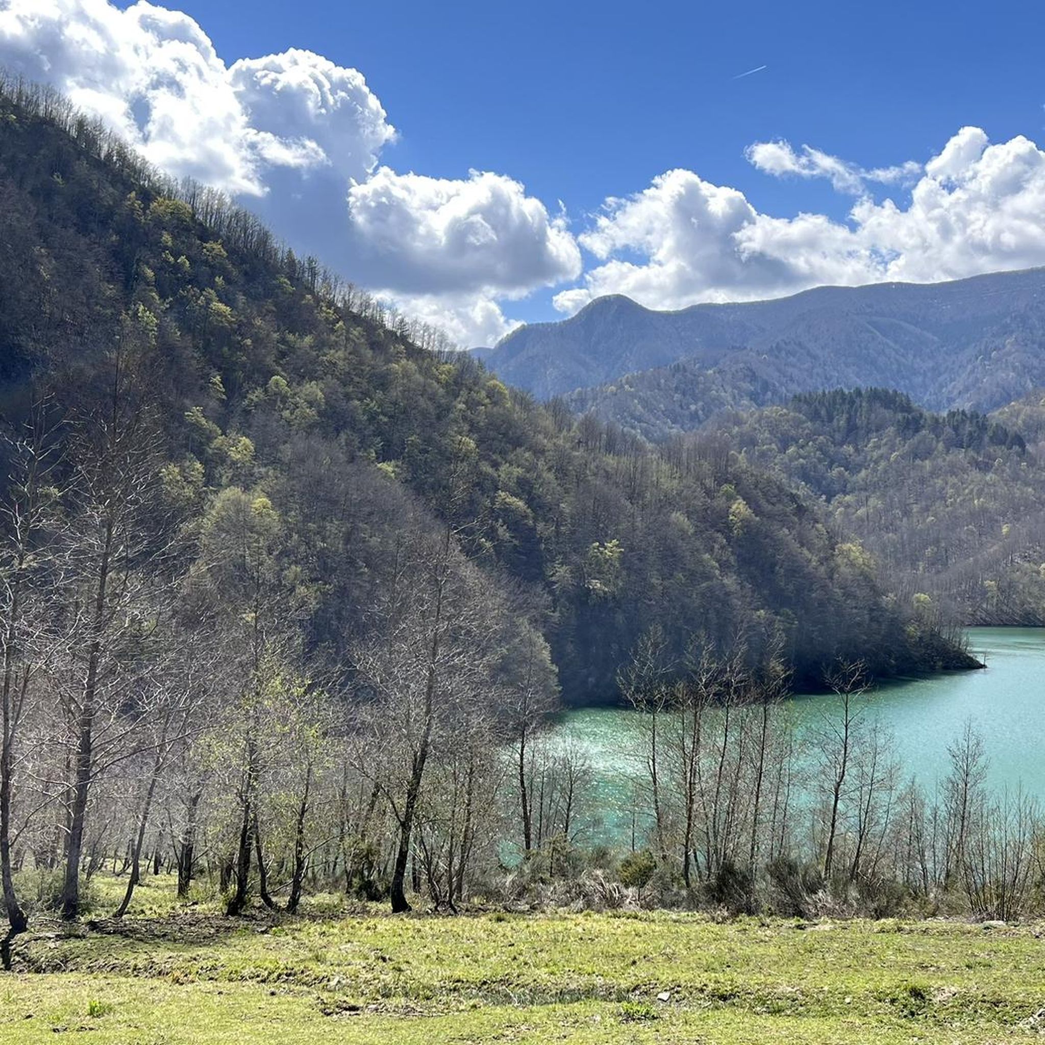
In the heart of the Casentinesi Forests National Park, an imposing and fascinating dam has given rise to a suggestive lake surrounded by pristine forests, creating a unique ecosystem where nature and engineering coexist in perfect harmony; here it is possible to take boat or canoe excursions, mountain bike or e-bike itineraries, or combine them into a single solution throughout the day in the famous Casentinesi Forests Triathlon, but only for the most trained.
0
0

The "San Paolo in Alpe" bivouac, recently built inside an old residential structure, is located in the mountainous part of the Tuscan-Romagna Apennines, more precisely in the province of Forlì-Cesena, in the municipality of Santa Sofia. The building is divided into two parts: one is always open and available as a temporary shelter, while the other is used as a managed bivouac, accessible by reservation. The building is located on a plateau at an altitude of 1,030 meters and lies entirely within the Casentinesi Forests, Monte Falterona and Campigna National Park. The surrounding landscape is characterized by open grazing areas, immersed in a forest landscape of high environmental value that extends to the Apennine ridge, which includes the Sasso Fratino Integral Nature Reserve, declared a UNESCO World Heritage Site in 2017.
0
0

A quiet place with a beautiful view, and the hut keepers are very welcoming! They let us picnic on the tables.
0
0

the climb through the woods begins, quite tough in some parts!!
0
0

Idyllic, almost magical place.
0
0

Passo dei Lupatti (altitude 1171) where majestic beech trees stand and where we cross the 00 ridge path coming from Passo dei Mandrioli and heading to Passo della Crocina: the stretch of the railway that went from Passo dei Lupatti to Cancellino was slightly downhill and for this reason the wagons loaded with wood were slowed down in their run by specially trained men called "brakemen". Now from Passo dei Lupatti to Lama the road will always continue downhill: immersed in the forest we walk crossing the slopes of Mount Cucco and Poggio Rovino until we reach Pian della Saporita (altitude 1051) Beautiful dirt road immersed in an immense beech forest with the possibility of many variations, 90% of the routes are suitable for everyone.
0
0

Compact gravel road @cesare pastorelli?
0
0
Frequently Asked Questions
How many running routes are available around Lake Ridracoli?
There are over 80 running routes available around Lake Ridracoli. While all routes in this area are currently rated as difficult, they offer a rewarding challenge for experienced runners within the stunning natural landscape of the National Park of the Casentino Forests.
What do other runners enjoy most about the trails around Lake Ridracoli?
The running routes around Lake Ridracoli are highly rated by the komoot community, with an average score of 3.4 stars from over 20 reviews. Runners often praise the immersive experience within the UNESCO World Heritage-listed Casentino Forests, the stunning fjord-like lake views, and the challenging terrain that makes for a rewarding run.
Are there any notable landmarks or natural features to see while jogging around Lake Ridracoli?
Absolutely! The area is rich in natural beauty and interesting sights. You'll encounter the impressive 103.5-meter high Ridracoli Dam, which is a feat of engineering and offers unique views. The trails also wind through ancient, dense forests, part of a UNESCO World Heritage site, and provide picturesque vistas of the fjord-like Lake Ridracoli itself. Keep an eye out for local wildlife like fallow deer and roe deer.
Are there any circular running routes around Lake Ridracoli?
Yes, many of the routes around Lake Ridracoli are circular, allowing you to start and finish in the same location. A popular option is the Ridracoli to Cà di Sopra Refuge Loop, which is about 11 km long and takes you through ancient forests with beautiful lake views.
What kind of terrain can I expect on the jogging routes?
The terrain around Lake Ridracoli is quite varied and often challenging. You can expect paths that wind through dense, ancient forests, with significant elevation gains and descents as you traverse the hills of the Romagna Apennines. The trails offer a mix of forest paths, sometimes rocky or uneven, and provide stunning views over the lake and surrounding valleys.
Are there any particularly challenging running routes for experienced trail runners?
For experienced trail runners seeking a significant challenge, the Lake Ridracoli area offers several demanding routes. The Crocina Pass – Lake Ridracoli loop from Ridracoli is a difficult 36.5 km path with substantial elevation gain, traversing the Romagna Apennines. Another long and challenging option is the Wood Fall – Lake Ridracoli loop from Ridracoli, a 40.3 km trail through the Casentino Forests.
Is there parking available near the jogging trails?
Yes, parking is generally available at key access points around Lake Ridracoli, particularly near the Ridracoli Dam, which serves as a common starting point for many excursions and running routes. It's advisable to check specific starting points for detailed parking information.
Can I reach the jogging trails around Lake Ridracoli by public transport?
While the National Park of the Casentino Forests is a natural area, public transport options to Lake Ridracoli itself can be limited. It's often more convenient to reach the area by car. However, some local bus services might connect to nearby towns, from which you might need to arrange further transport to the lake.
Are there any family-friendly jogging routes around Lake Ridracoli?
Given that all routes in this guide are currently rated as difficult with significant elevation changes, they might be challenging for very young children or those new to trail running. However, the area does offer easier walking paths that families can enjoy, which can be found by exploring other guides on komoot for the region. These often feature less elevation and shorter distances.
Are the running trails around Lake Ridracoli dog-friendly?
The National Park of the Casentino Forests generally welcomes dogs, but they must be kept on a leash to protect the local wildlife and ensure the safety of other visitors. Always check specific trail regulations or park guidelines before heading out with your dog.
What is the best time of year to go jogging around Lake Ridracoli?
The changing seasons offer different appeals for jogging around Lake Ridracoli. Spring brings vibrant blooms and fresh greenery, while autumn transforms the forests into a spectacle of warm hues. Summer is popular, but trails can be busy. Winter can be beautiful but may present more challenging conditions due to snow or ice, especially on higher elevation routes. Always check local weather conditions before your run.
Are there places to stop for refreshments or a meal along the routes?
Yes, some routes pass by points of interest where you can find refreshments. For example, the Ridracoli to Cà di Sopra Refuge Loop leads to Rifugio Ca' di Sopra, which offers local dishes and picnic facilities. The Ecomuseum of the Waters of Ridracoli (IDRO) near the dam also has facilities. It's always a good idea to carry sufficient water and snacks, especially on longer routes.
Most popular routes around Lake Ridracoli

Get inspired with the komoot mobile app


Explore more
Browse the best Running Trails & Routes in other regions.
