The best mountain hikes around Lago di Tovel
4.8
(26)
270
hikers
8
hikes
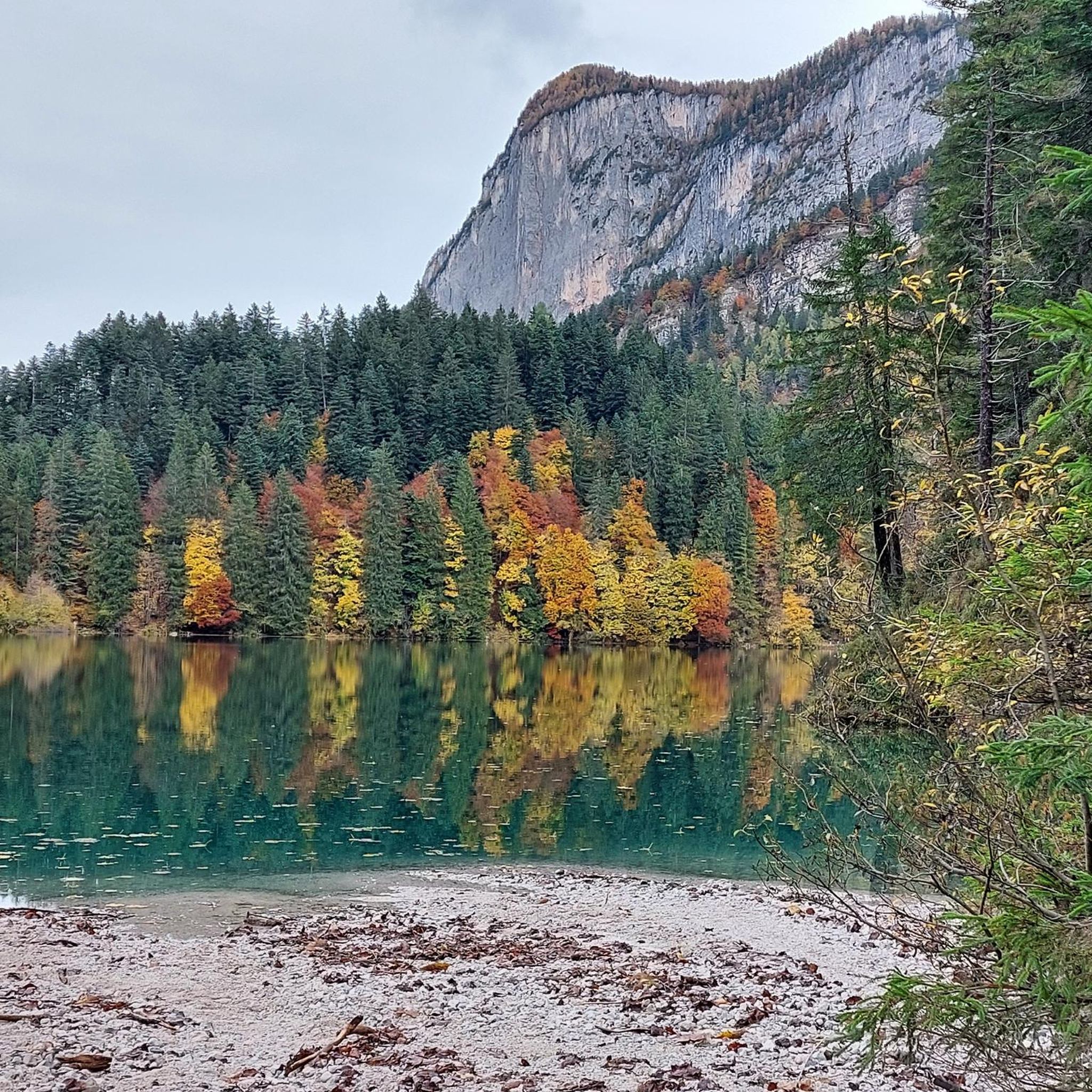
Mountaineering routes around Lago di Tovel are set within the Adamello Brenta Natural Park, offering access to the rugged Brenta Dolomites. This region is characterized by distinctive Dolomitic limestone formations, featuring sharp pinnacles, deep gullies, and dramatic rock faces. Dense coniferous forests surround the lake, transitioning into high-alpine environments with significant elevation changes.
Best mountaineering routes around Lago di Tovel
- The most popular mountaineering route is Lake Tovel loop from Ville d'Anaunia, a 7.5 miles (12.1 km) trail that…
Last updated: July 19, 2026
4
hikers
12.0km
05:06
620m
620m
Hard mountaineering route. Very good fitness required. Sure-footedness, sturdy shoes and alpine experience required.
2
hikers
3.69km
01:04
50m
50m
Moderate mountaineering route. Great for any fitness level. Mostly accessible paths. Sure-footedness required.

Sign up for free
5.0
(2)
33
hikers
Hard mountaineering route. Good fitness required. Sure-footedness, sturdy shoes and alpine experience required.
5.0
(1)
5
hikers
Moderate mountaineering route. Good fitness required. Mostly accessible paths. Sure-footedness required.
1
hikers
Hard mountaineering route. Very good fitness required. Sure-footedness, sturdy shoes and alpine experience required.
Get access to more routes and recommendations from other explorers.
Sign up for free
Already have an account?
Our route recommendations are based on thousands of hikes, rides, and runs completed by other people on komoot.
Start today with a free account
Your next adventure awaits.
Login or Signup
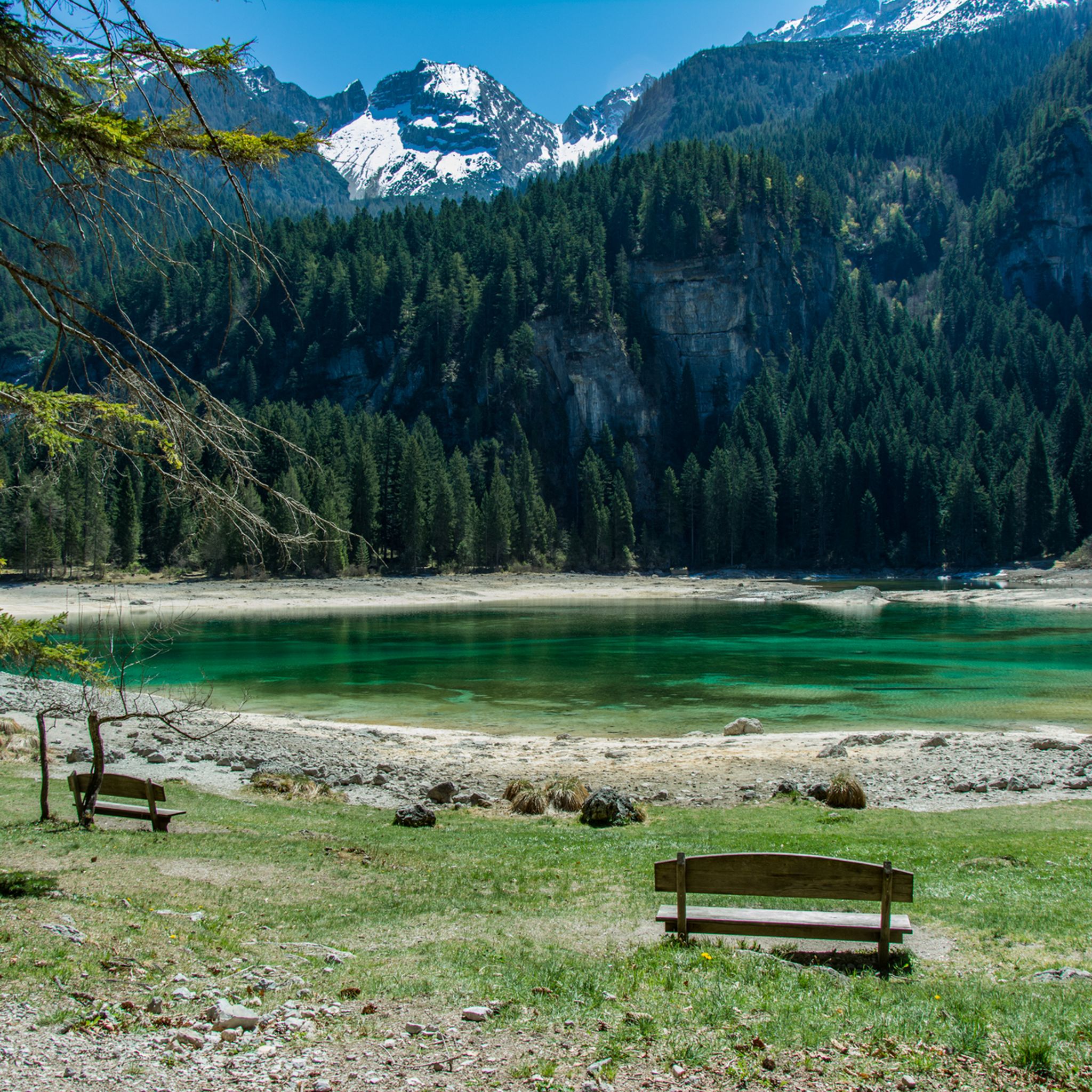
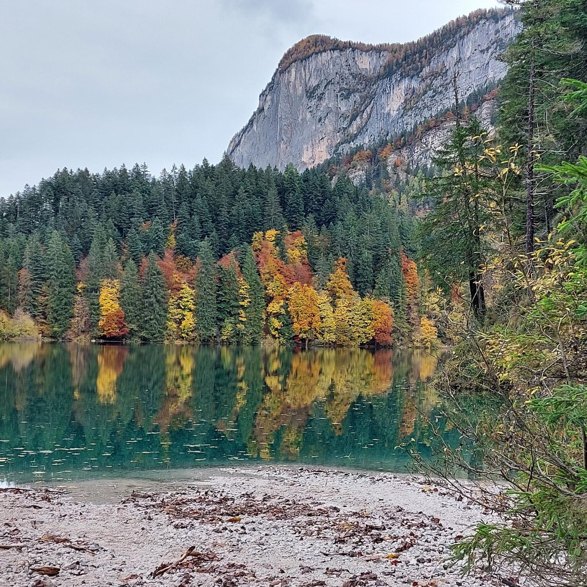
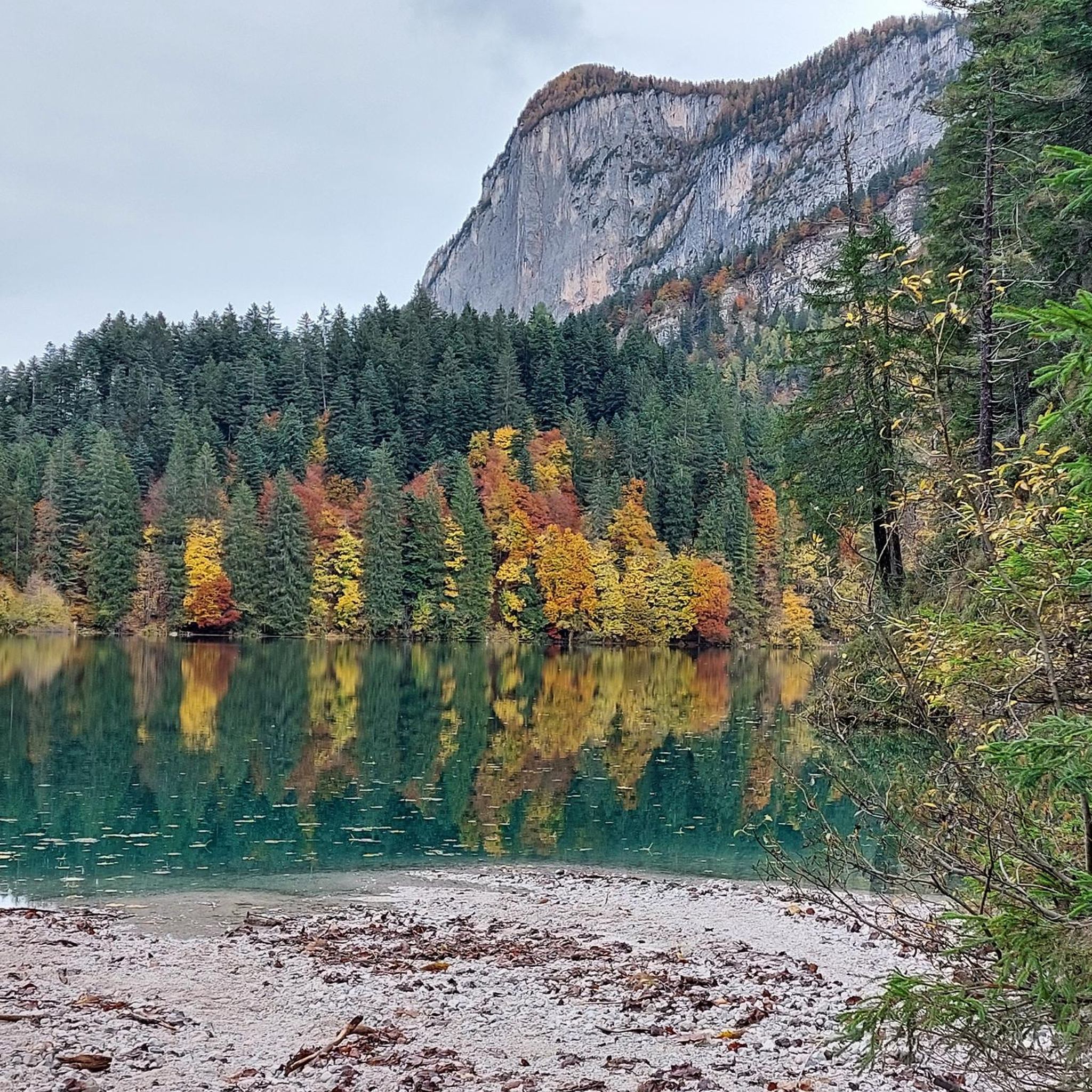
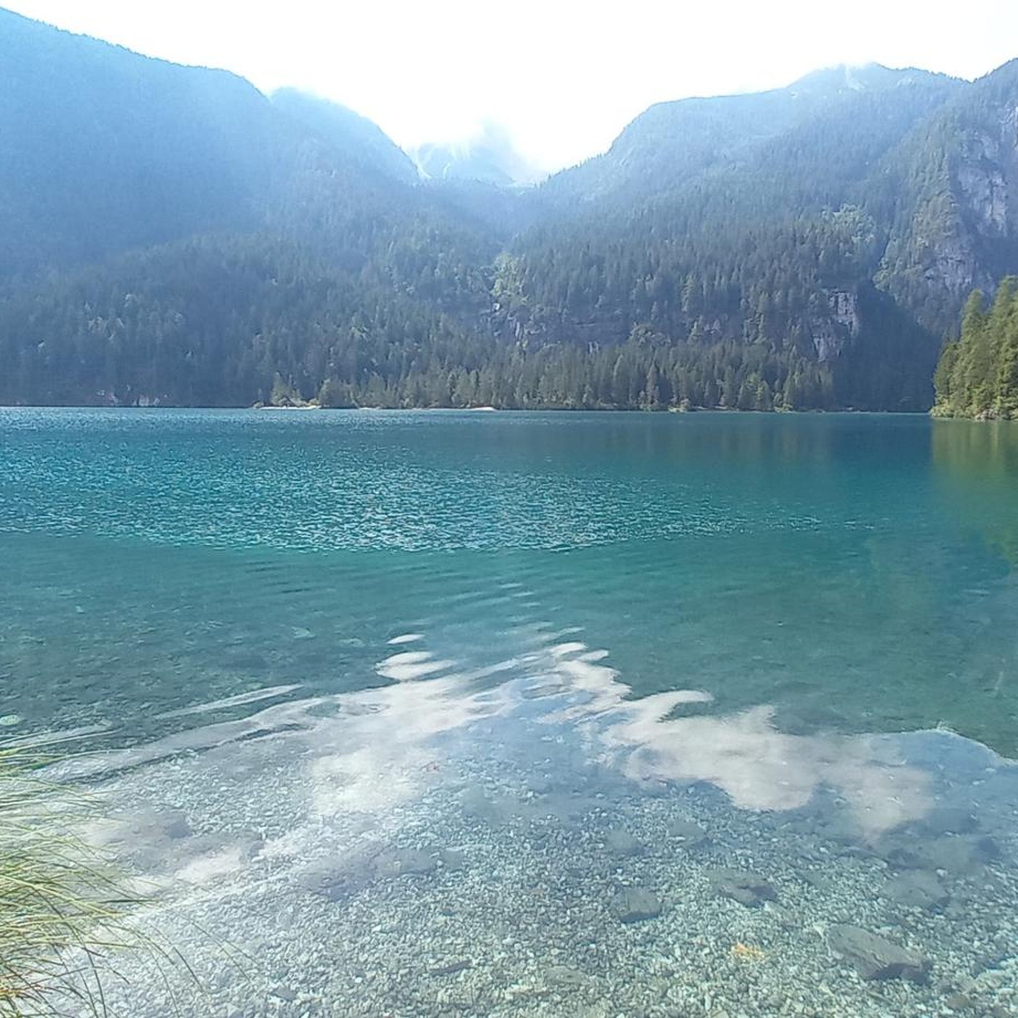

Tips from the Community


The Red Lake
0
0
Winter is even more beautiful
0
1

I was able to seek shelter here during a thunderstorm even though the refuge was still closed. The staff was very friendly, and the view is also very beautiful.
0
0
Very well located. Water supplies can be refilled. Even if it's not open, you might get lucky and run into someone. With luck, they might even offer coffee.
0
0

Great view of the Brenta, Ortler and Ötztal Alps
1
0
Frequently Asked Questions
How many mountaineering routes are available around Lago di Tovel?
There are 8 mountaineering routes documented on komoot for the Lago di Tovel area. These routes range from moderate to difficult, offering diverse experiences within the Adamello Brenta Natural Park and the Brenta Dolomites.
Are there any family-friendly mountaineering options near Lago di Tovel?
While many routes in the Brenta Dolomites are challenging, the immediate vicinity of Lago di Tovel offers easier options suitable for families. For instance, the Red Bay (Lake Tovel) – Lake Tovel loop from Ville d'Anaunia is a moderate 3.7 km trail that takes about an hour, leading through dense forests and along the lake shore. The easy 3.2 km Lake Loop Trail around Lago di Tovel itself is also a great choice for a scenic stroll.
What are the best times of year for mountaineering around Lago di Tovel?
The best time for mountaineering around Lago di Tovel is typically from late spring to early autumn (June to September). During these months, the weather is generally more stable, and the high-alpine trails are mostly free of snow. However, conditions can change rapidly in the mountains, so always check the forecast before heading out.
Are there any circular mountaineering routes in the area?
Yes, several circular routes are available. A notable difficult option is the Lake Tovel loop from Ville d'Anaunia, which covers 12.1 km with sustained climbs. For those seeking a via ferrata experience, the Rifugio Stoppani – Vidi Trail Via Ferrata loop from Rifugio Giorgio Graffer al Grostè is a difficult 13.1 km path that includes challenging rock sections.
What kind of natural landmarks or viewpoints can I expect on these routes?
The routes offer stunning views of the Brenta Dolomites, characterized by sharp pinnacles and dramatic rock faces. You'll also encounter the captivating blue, emerald green, and turquoise waters of Lago di Tovel. Keep an eye out for geological formations like those along the 'Sentiero delle Glare' (Trail of Landslides) and the isolated rock formations of Turion Basso and Turion Alto in Val di Tovel.
Are there any challenging mountaineering routes that include via ferratas?
Absolutely. The Brenta Dolomites are renowned for their via ferratas. A particularly challenging option is the Rifugio Stoppani – Vidi Trail Via Ferrata loop from Rifugio Giorgio Graffer al Grostè, a difficult 13.1 km route that requires good fitness and alpine experience to navigate its equipped sections.
What do other mountaineers say about the routes around Lago di Tovel?
The mountaineering routes around Lago di Tovel are highly rated by the komoot community, with an average score of 4.8 stars from over 30 reviews. Mountaineers often praise the majestic Dolomitic peaks, the pristine alpine lakes, and the diverse terrain that offers both challenging climbs and high-alpine adventures.
Can I reach the starting points of these routes using public transport?
While specific public transport details for every trailhead are not always available, Lago di Tovel itself is accessible by public transport during peak season, often with shuttle services from nearby towns. For routes starting deeper in the Brenta Dolomites, such as those from Rifugio Giorgio Graffer al Grostè, you might need to combine public transport with local taxi services or private vehicles, as mountain refuges can be remote.
Are there any moderate mountaineering routes for those looking for a less strenuous challenge?
Yes, there are moderate options available. The Rifugio Stoppani – Graffer Hut at Grostè loop from Rifugio Giorgio Graffer al Grostè is a moderate 10.9 km route that offers a significant elevation gain of over 700 meters, providing a good challenge without the extreme technical demands of difficult routes.
What kind of wildlife might I encounter in the Adamello Brenta Natural Park?
The Adamello Brenta Natural Park, where Lago di Tovel is located, is the largest protected area in Trentino and is rich in alpine fauna. It's famously known as the 'bear's lake' region due to the presence of brown bears. You might also spot various other alpine animals and birds during your mountaineering adventures.
Are there any multi-day trekking opportunities starting from or near Lago di Tovel?
Yes, Lago di Tovel can serve as a starting point or a gateway for multi-day hut-to-hut treks across the Brenta Dolomites. These longer expeditions often involve traversing rocky terrain and require overnight stays in mountain refuges, offering an immersive high-alpine experience.
Where can I find more information about the Lago di Tovel area?
For more general information about the Lago di Tovel area, including its natural beauty and local attractions, you can visit the official tourism website: visittrentino.info.
Most popular routes around Lago di Tovel

Get inspired with the komoot mobile app


Explore more
Browse the best Mountain Hikes & Routes in other regions.
