The best road cycling routes around Loch Humphrey
4.5
(71)
2,490
riders
79
rides
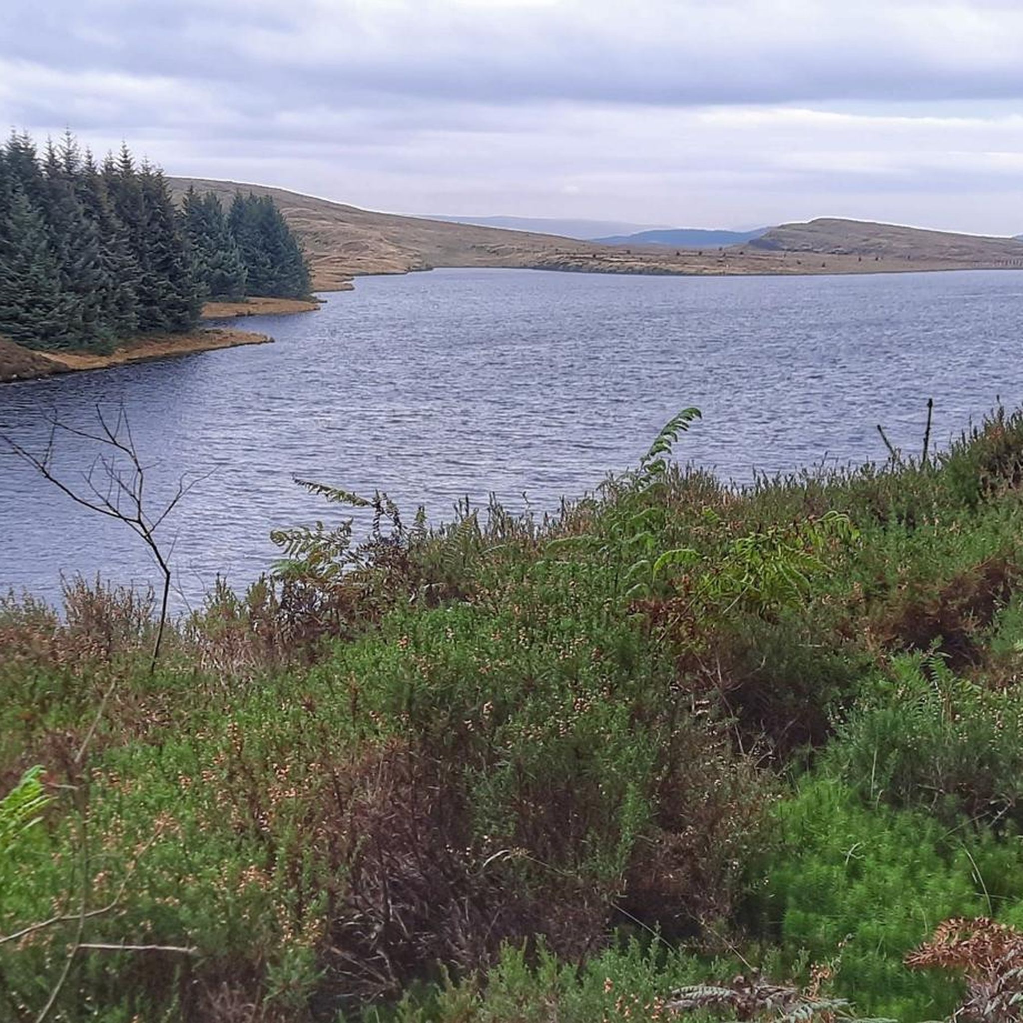
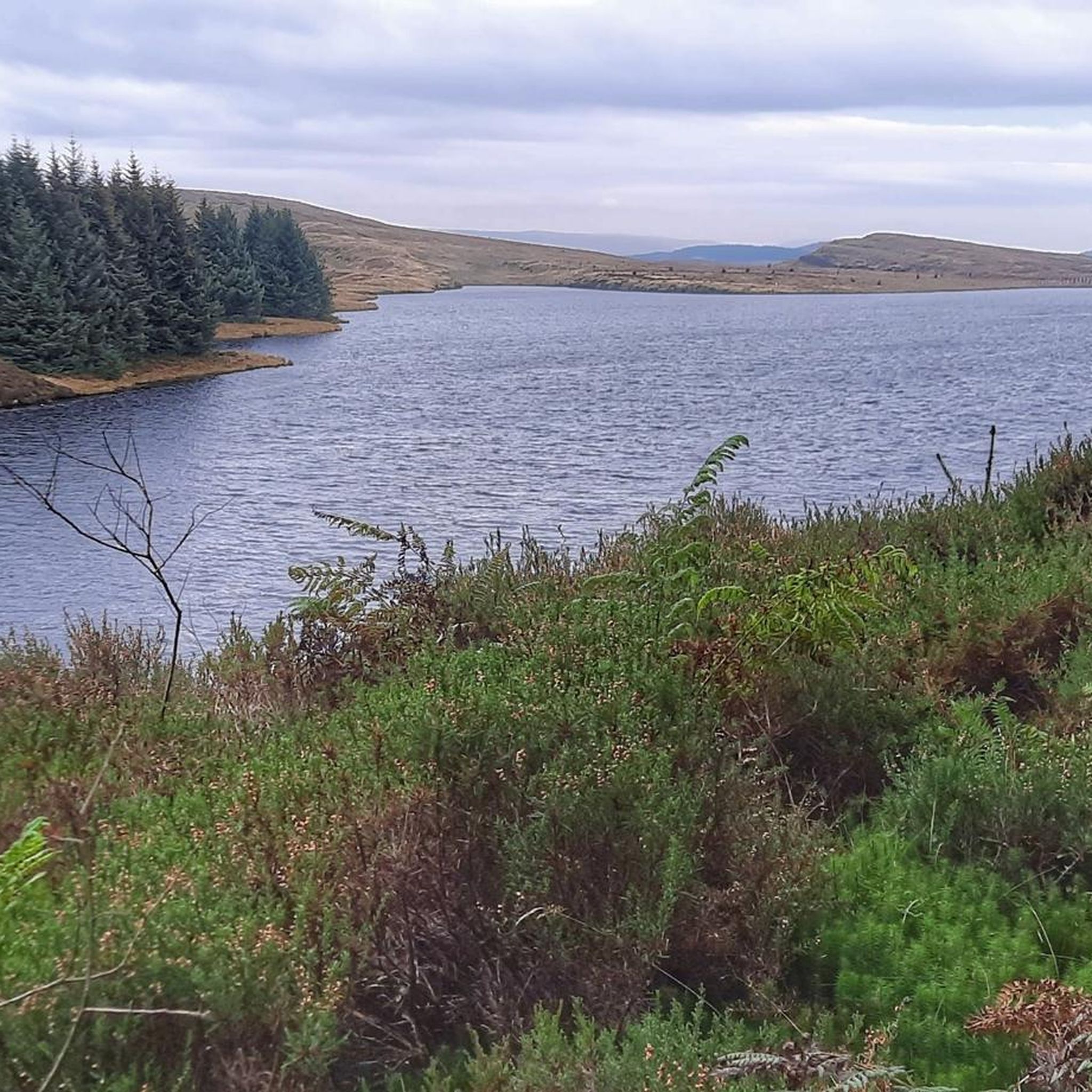
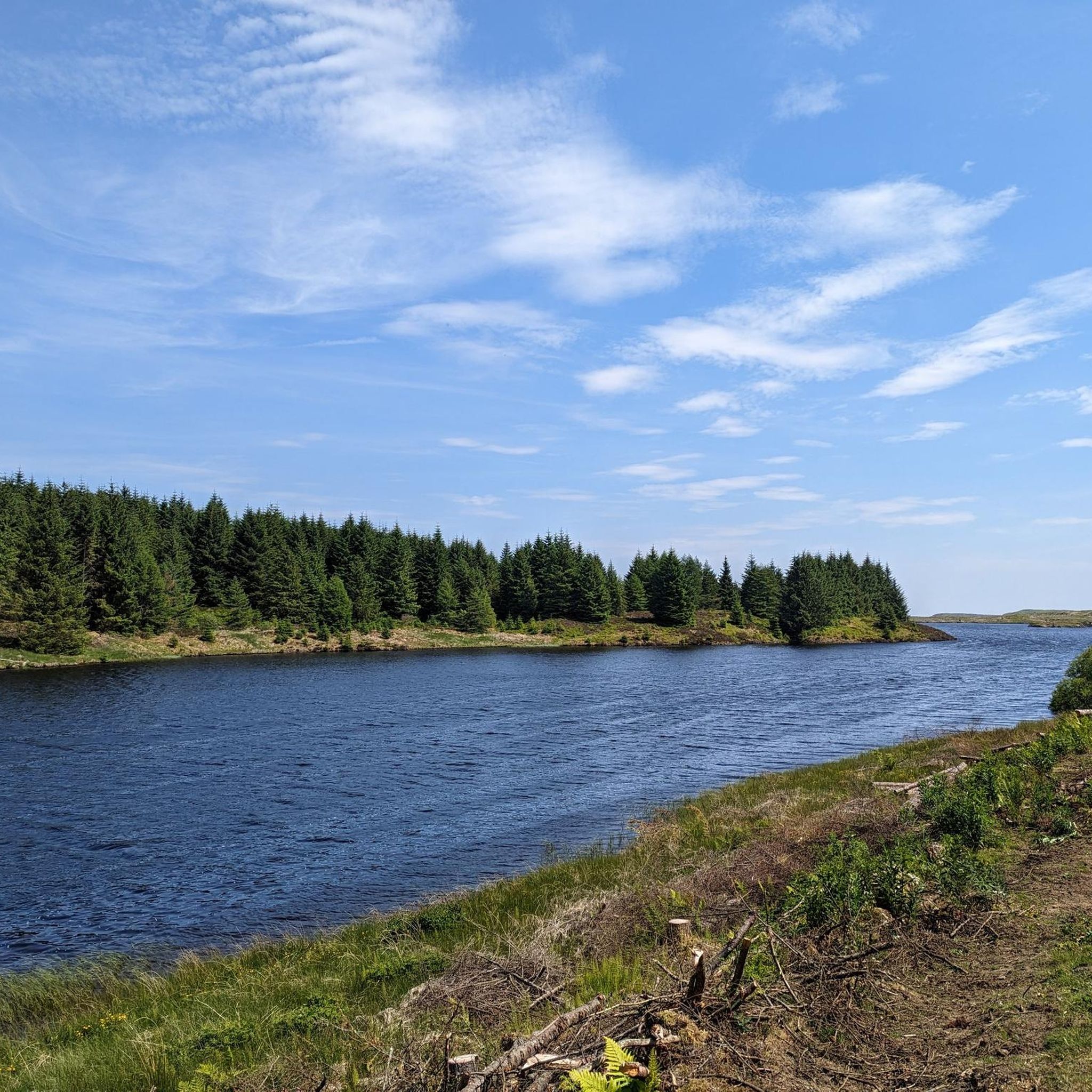
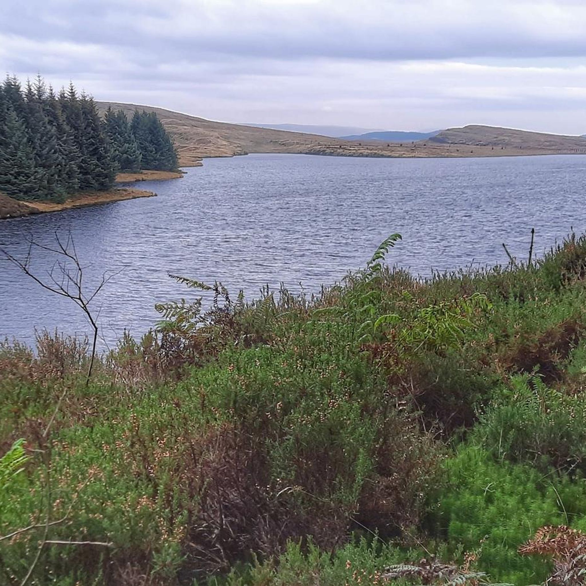
Road cycling around Loch Humphrey offers routes through the Kilpatrick Hills in West Dunbartonshire, Scotland. The region features diverse landscapes including open moorland, forestry plantations, and views over the River Clyde and Glasgow. While the immediate area around the loch has varied terrain, the road cycling routes primarily utilize paved surfaces and tracks suitable for race bikes, often involving climbs within the hill ranges. These routes provide panoramic vistas across West Dunbartonshire and distant views of Loch Lomond.
Best road cycling routes around Loch Humphrey
- The most popular road cycling route is Maryhill Locks – Stockingfield Bridge loop from Kilpatrick, a 28.0 miles (45.0 km) trail that takes 1 hour 51 minutes to complete. This moderate route connects urban waterways with scenic bridges.
- Another top favourite among local road cyclists is Cairn Café – Corlick Hill East Approach loop from Kilpatrick, a moderate 31.3 miles (50.4 km) path. This route features significant climbs within the Kilpatrick Hills, offering expansive views.
- Local road cyclists also love the Bodden Boo – Kirkton Wood loop from Kilpatrick, a 19.8 miles (31.9 km) trail leading through forestry and offering varied terrain, often completed in about 1 hour 30 minutes.
- Road cycling around Loch Humphrey is defined by routes through the Kilpatrick Hills, offering panoramic views and diverse landscapes including moorland and forestry. The network offers options for different ability levels, from easy loops to more challenging climbs.
- The routes in Loch Humphrey are highly rated by the komoot community with an average score of 4.6 stars from more than 50 reviews. More than 2,700 road cyclists have used komoot to explore Loch Humphrey's varied terrain.
Last updated: October 1, 2026
5.0
(1)
55
riders
44.9km
01:51
160m
160m
Moderate road ride. Great for any fitness level. Some segments of this route may be unpaved and difficult to ride.
22
riders
50.4km
02:27
570m
570m
Moderate road ride. Good fitness required. Some segments of this route may be unpaved and difficult to ride.

16
riders
113km
05:24
1,380m
1,380m
Hard road ride. Very good fitness required. Mostly well-paved surfaces and easy to ride.
9
riders
31.8km
01:30
270m
270m
Easy road ride. Great for any fitness level. Mostly well-paved surfaces and easy to ride.
18
riders
29.3km
01:13
120m
120m
Easy road ride. Great for any fitness level. Mostly well-paved surfaces and easy to ride.
Get access to more routes and recommendations from other explorers.
Already have an account?
Our route recommendations are based on thousands of hikes, rides, and runs completed by other people on komoot.
Start today with a free account
Your next adventure awaits.

Tips from the Community

Accessible via the steps from the parking lot. Built and completed in 2024!
0
0

One of the most interesting bridges I've ever seen—in my opinion, an architectural masterpiece, magnificent..👍👍
1
0


Hilly but very scenic route with some car free sections and of course coffee/lunch stops.
0
0

Hungryside Bridge is a lifting bridge carrying Torrance Road over the Forth and Clyde Canal.
0
0

This is a great road to start exploring the rich variety of cycling routes around Loch Lomond and the Trossachs area. The road is very quiet and rarely sees cars, so you can just relax and enjoy the scenery of this stunning national park.
1
0
Stockingfield Junction is a spot along the canal between Maryhill and Ruchill in Glasgow, Scotland. It first opened back in 1777, closed in 1963, and was later restored and reopened in 2022. Originally, it served as a terminus before becoming the junction for the Port Dundas branch off the main line of the Forth and Clyde Canal from 1777.
4
1

You can bring your own bike or hire one, or an e-bike from the nearby Katrine Wheelz
0
0
Frequently Asked Questions
What is the general terrain like for road cycling around Loch Humphrey?
Road cycling routes around Loch Humphrey primarily utilize paved surfaces and tracks suitable for race bikes, often involving climbs within the Kilpatrick Hills. While the immediate area around the loch itself features varied terrain, the routes are designed for road cycling, offering diverse landscapes including open moorland and forestry plantations.
Are there challenging road cycling routes in the Loch Humphrey area?
Yes, the region offers challenging routes. For example, the Dukes Pass Scenic Drive – North Shore Road, Loch Katrine loop from Kilpatrick is a difficult 112.8 km (70.1 miles) route with significant elevation gain. Overall, 8 of the 85 routes in the area are classified as difficult, providing ample challenge for experienced cyclists.
Are there easier road cycling options for beginners or casual riders?
Absolutely. There are 36 easy road cycling routes around Loch Humphrey. A good option is the Bodden Boo – Kirkton Wood loop from Kilpatrick, an easy 31.9 km (19.8 miles) trail leading through forestry, which can be completed in about 1 hour 30 minutes.
What scenic views can I expect on road cycling routes near Loch Humphrey?
Cyclists can enjoy spectacular panoramic views over West Dunbartonshire, Glasgow, and the River Clyde. From various points, you might also catch distant views of Loch Lomond and the Trossachs. The ascent towards Loch Humphrey itself offers impressive vistas of the Erskine Bridge and Dumbarton Rock.
Are there any natural features or landmarks to look out for while cycling?
The Kilpatrick Hills themselves are a prominent feature, offering a 'wild' feel. You'll encounter extensive open moorland, several lochs, and forestry plantations. Some routes may also pass by waterfalls along winding tracks. While not directly on a cycling route, the nearby Devil's Pulpit in Finnich Glen is a geologically fascinating area with a deep sandstone gorge and rushing waterfall.
Can I find circular road cycling routes around Loch Humphrey?
Yes, the majority of road cycling routes in the Loch Humphrey area are designed as loops. For instance, the popular Cairn Café – Corlick Hill East Approach loop from Kilpatrick is a moderate 50.4 km (31.3 miles) path featuring significant climbs and expansive views.
What do other road cyclists enjoy most about cycling in Loch Humphrey?
The area is highly rated by the komoot community, with an average score of 4.6 stars from over 50 reviews. Cyclists often praise the diverse landscapes, ranging from open moorland to forestry, and the panoramic views over the Clyde and Glasgow. The variety of routes, from easy loops to challenging climbs, also contributes to its popularity.
How many road cycling routes are available around Loch Humphrey?
There are over 85 road cycling routes available around Loch Humphrey, catering to various skill levels from easy to difficult. This extensive network provides numerous options for exploring the Kilpatrick Hills.
Are there any routes that connect urban areas with natural landscapes?
Yes, some routes offer a blend of urban and natural scenery. The Maryhill Locks – Stockingfield Bridge loop from Kilpatrick is a moderate 45.0 km (28.0 miles) trail that connects urban waterways with scenic bridges before heading into the natural surroundings.
What kind of wildlife might I encounter while cycling in the region?
The region is home to diverse wildlife. While cycling, you might have the chance to spot red deer, otters, and ospreys. Waterbirds are also commonly seen on the lochs, adding to the natural beauty of the area.
Are there any routes suitable for a quick ride after work?
For a shorter, more accessible ride, consider the Paisley Mural Trail – Campsie Snacks loop from Erskine. This easy 29.3 km (18.2 miles) route can be completed in about 1 hour 15 minutes, making it ideal for a quick spin.
Most popular routes around Loch Humphrey

Get inspired with the komoot mobile app


Explore more
Browse the best Road cycling routes in other regions.
